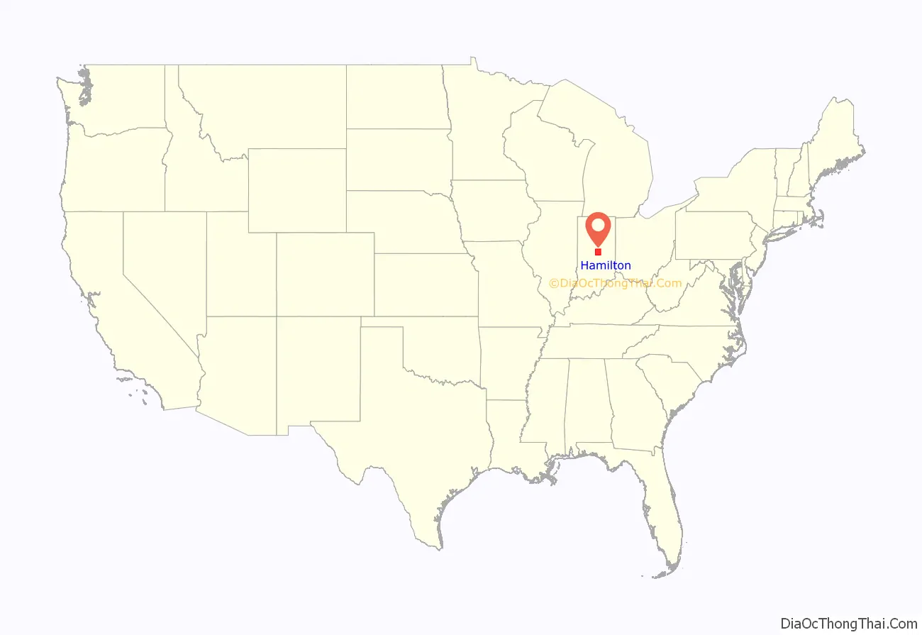
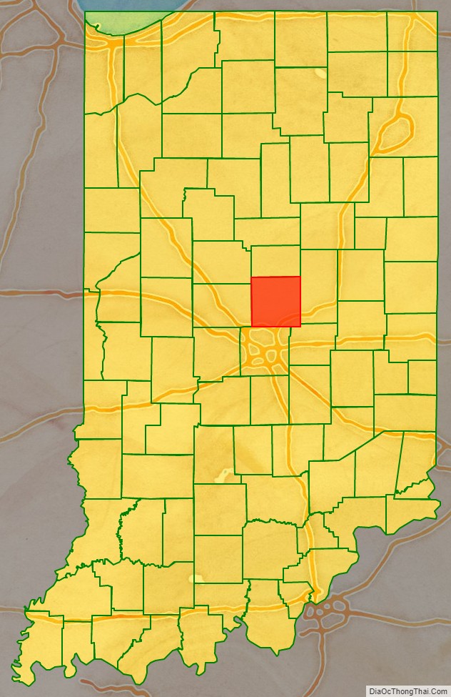
Hamilton County is a county in the U.S. state of Indiana. The 2020 United States Census recorded a population of 347,467. The county seat is Noblesville.
Hamilton County is part of the Indianapolis-Carmel–Anderson, IN Metropolitan Statistical Area. Since the beginning of the 21st century, Hamilton County has been the second most populous county in Central Indiana.
Hamilton County’s roots are in agriculture. However, after World War II, development in Indianapolis grew northward, and towns in the southern part of Hamilton County developed as suburbs. Residential and commercial development have replaced many farm fields, although the county’s northern part remains largely agricultural. In the first decades of the 21st century, the county is one of the fastest-growing counties in the United States. According to 2007 estimates by the US Census, the county’s population increased from 182,740 in 2000 to an estimated 261,661 in 2007, making it the fastest-growing county of Indiana’s 92. As of the 2010 census, Hamilton County has surpassed St. Joseph County in population, making it the state’s fourth most populous. It is also the third densest in the state, after Marion and Lake Counties.
In 2010, Hamilton County was home to three of the state’s 20 largest cities and towns: Carmel (8th), Fishers (9th), and Noblesville (14th).
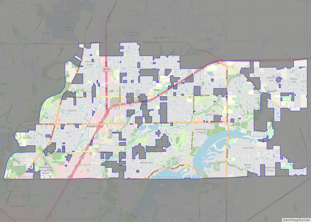
Geist and Morse reservoirs are two man-made lakes in Hamilton County that offer boating, fishing, and waterfront living.
In June 2008, Hamilton County was named America’s Best Place to Raise a Family by Forbes.com due to its strong economy, affordable living, top-ranked schools, and close proximity to Indianapolis. The city of Carmel in southwestern Hamilton County was designated CNN Money’s top place to live in 2013 and in 2017, the city of Fishers was named best place to live.
| Name: | Hamilton County |
|---|---|
| FIPS code: | 18-057 |
| State: | Indiana |
| Founded: | 1823 |
| Named for: | Alexander Hamilton |
| Seat: | Noblesville |
| Largest city: | Carmel |
| Total Area: | 402.44 sq mi (1,042.3 km²) |
| Land Area: | 394.27 sq mi (1,021.2 km²) |
| Total Population: | 347,467 |
| Population Density: | 690/sq mi (266/km²) |
Hamilton County location map. Where is Hamilton County?
History
The land containing Hamilton County was brought into the possession of the United States by the Treaty of St. Mary’s in 1818. William Conner was the first white settler in the county. In the summer of 1822, after realizing there were enough settlers in the area, Conner and other settlers applied to the Indiana Legislature for a charter authorizing them to become a separate and independent county under Indiana law. The application was presented to the 1822–23 session of the Indiana General Assembly, and the act was passed and approved by the governor on January 8, 1823. The act took effect on the first Monday in April (April 7), 1823. The county commissioners first met on May 5, 1823, at Conner’s house; it also served as the county circuit courthouse. The county was named for Alexander Hamilton, the first secretary of the US treasury.
Most Belgian immigration to Indiana occurred in the northwestern part of the state in Lake County and Porter County. However, in the 1890s, a significant number of Belgian immigrants also settled in the Noblesville area of Hamilton County. Similarly, chain migration led to numerous first generation Serbian immigrants who had settled in Indianapolis, and their Indiana-born children, to move to Arcadia, Carmel, Sheridan, Noblesville, and Cicero around the turn of the 20th century.
Like most of Indiana, the area was also heavily German-American, with Germans being the second largest single ethnic group in the county at the time, second only to so-called “native born whites” whose ancestry extended to the original Thirteen Colonies and who were the largest ethnic group in Hamilton County at the turn of the century. During World War I, Hamilton County was noted for an extreme rise in anti-German sentiment. The name of Wilhelm Street in Noblesville was changed to Washington Street and German-Americans were subjected to bullying and abuse from their neighbors. German-Americans were one of the largest ethnic groups in the county, but the remaining two-thirds of the county were “whipped into an anti-German frenzy” during which Germanness and Americanness were presented as being antithetical throughout the press. Hamilton County was labeled the “most anti-German county” in Indiana, although such attitudes were common throughout the rest of Indiana as well. During most of 1940 and 1941, Indiana as a whole was very isolationist, with much of the state preferring that the country stay neutral in the European conflict. However, Hamilton County was a “hot-bed of interventionist and pro-British sentiment”, which stood out because unlike many other places in Indiana, most people in Hamilton County were in favor of American entry into the war, and were in favor of providing Britain with as much aid as possible as well.
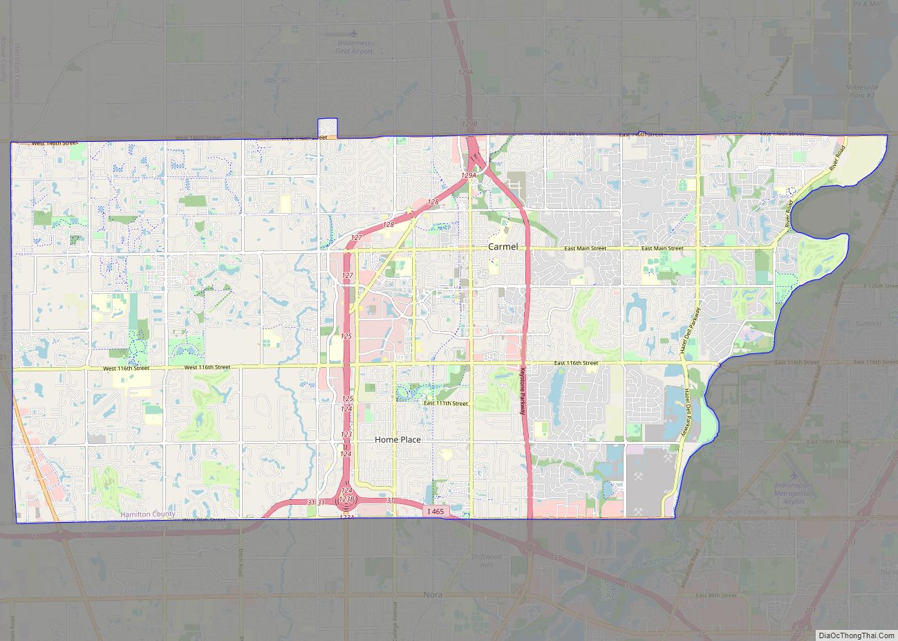
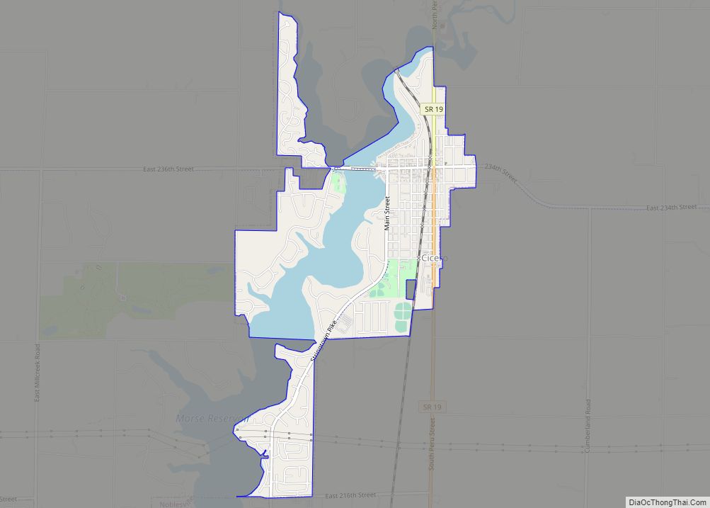
Hamilton County Road Map
Geography
According to the 2010 census, the county has a total area of 402.44 square miles (1,042.3 km), of which 394.27 square miles (1,021.2 km) (or 97.97%) is land and 8.17 square miles (21.2 km) (or 2.03%) is water.
Major highways
- Interstate 69
- Interstate 465
- U.S. Route 31
- U.S. Route 52
- U.S. Route 421
- State Road 19
- State Road 32
- State Road 37
- State Road 38
- State Road 47
- State Road 213
Airport
- KUMP – Indianapolis Metropolitan Airport
Adjacent counties
- Tipton County — North
- Madison County — East
- Hancock County — Southeast
- Marion County — South
- Boone County — West
- Clinton County — Northwest
