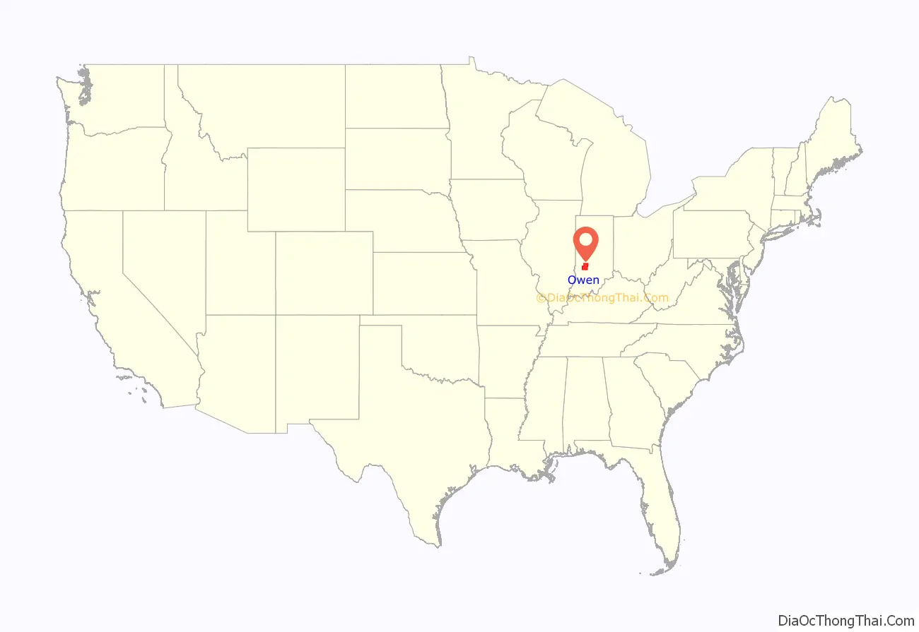
Owen County is a county in the U.S. state of Indiana. In 1920 the United States Census Bureau calculated the mean center of U.S. population to fall within this county. As of the 2010 United States Census, it had a population of 21,575. Its county seat is Spencer.
Owen County is part of the Bloomington, Indiana, Metropolitan Statistical Area.
| Name: | Owen County |
|---|---|
| FIPS code: | 18-119 |
| State: | Indiana |
| Founded: | 21 December 1818 (authorized) 1819 (organized) |
| Named for: | Abraham Owen |
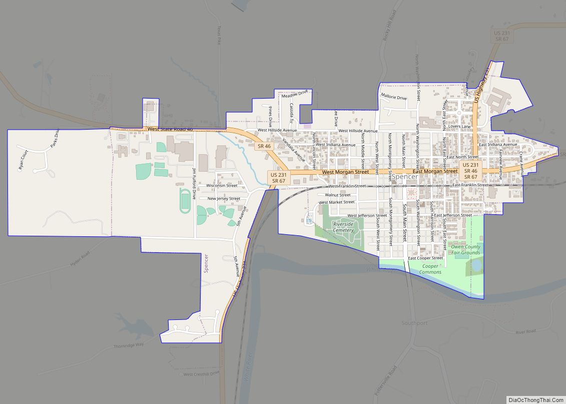
| Seat: | Spencer |
| Largest town: | Spencer |
| Total Area: | 387.82 sq mi (1,004.4 km²) |
| Land Area: | 385.29 sq mi (997.9 km²) |
| Population Density: | 54.1/sq mi (20.9/km²) |
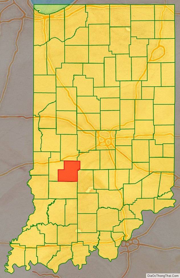
Owen County location map. Where is Owen County?
History
In 1787, the fledgling United States defined the Northwest Territory, which included the area of present-day Indiana. In 1800, Congress separated Ohio from the Northwest Territory, designating the rest of the land as the Indiana Territory. President Thomas Jefferson chose William Henry Harrison as the territory’s first governor, and Vincennes was established as the territorial capital. After the Michigan Territory was separated and the Illinois Territory was formed, Indiana was reduced to its current size and geography. By December 1816 the Indiana Territory was admitted to the Union as a state.
Starting in 1794, Native American titles to Indiana lands were extinguished by usurpation, purchase, or war and treaty. The United States acquired land from the Native Americans in the 1809 treaty of Fort Wayne, and by the treaty of St. Mary’s in 1818 considerably more territory became property of the government. This included the future Owen County. White settlers had been moving into the future Owen County area since 1816.
The area in present-day Owen County was first placed under local jurisdiction in 1790, when Knox County was created. This all-encompassing county was repeatedly subdivided as its lands were occupied − in 1816 a portion was partitioned to create Sullivan County, and on 2 February 1818 another area to the south was partitioned to create Daviess County. That same winter (21 December 1818) the state legislature took portions from northern Daviess and eastern Sullivan to create Owen County; it was named for Abraham Owen, a colonel in the US Army who had died at the Battle of Tippecanoe in 1811. The boundaries of this new county were reduced in 1822 when Putnam and in 1825 when Clay counties were created.
The first moves to organize the county’s government were completed in 1819. In 1820 the first commissioners selected Spencer, the county’s largest settlement, as its seat of government.
In 1920, the United States Census reported Owen County as the Center of Population for the US at a point 8 miles south-southeast of Spencer, Indiana. The center moved the shortest distance since census data collecting began in 1790 (just under 10 miles) from its previous center in Bloomington, Indiana. When the East experienced high rates of growth, as it did in the decades between 1890 and 1920, the Westward movement of the center slowed.
Owen County Road Map
Geography
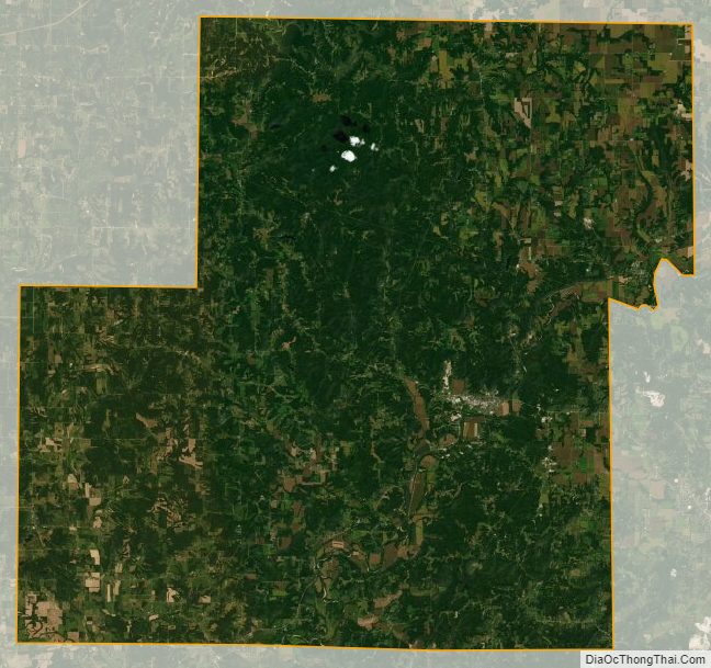
Owen County’s low hills were completely wooded before the nineteenth century. It is still largely tree-covered, but significant portions have been cleared and are dedicated to agriculture or urban use. Its highest point (934 feet/285 meters ASL) is a steep point 2.0 miles (3.2 km) south of Quincy. The White River flows southwestward through the lower central part, entering from Monroe County (its course delineates a portion of the border between Monroe and Owen counties), then continues its journey into Greene County.
According to the 2010 United States Census, the county has a total area of 387.82 square miles (1,004.4 km), of which 385.29 square miles (997.9 km) (or 99.35%) is land and 2.54 square miles (6.6 km) (or 0.65%) is water.
Adjacent counties
- Putnam County – north
- Morgan County – northeast
- Monroe County – southeast
- Greene County – south
- Clay County – west
Major highways
- U.S. Route 231
- Indiana State Road 42
- Indiana State Road 43
- Indiana State Road 46
- Indiana State Road 67
- Indiana State Road 157
- Indiana State Road 243
- Indiana State Road 246
Protected areas
- Cataract Falls State Recreation Area
- McCormick’s Creek State Park – the state’s first park (1916)
- Owen-Putnam State Forest (part)
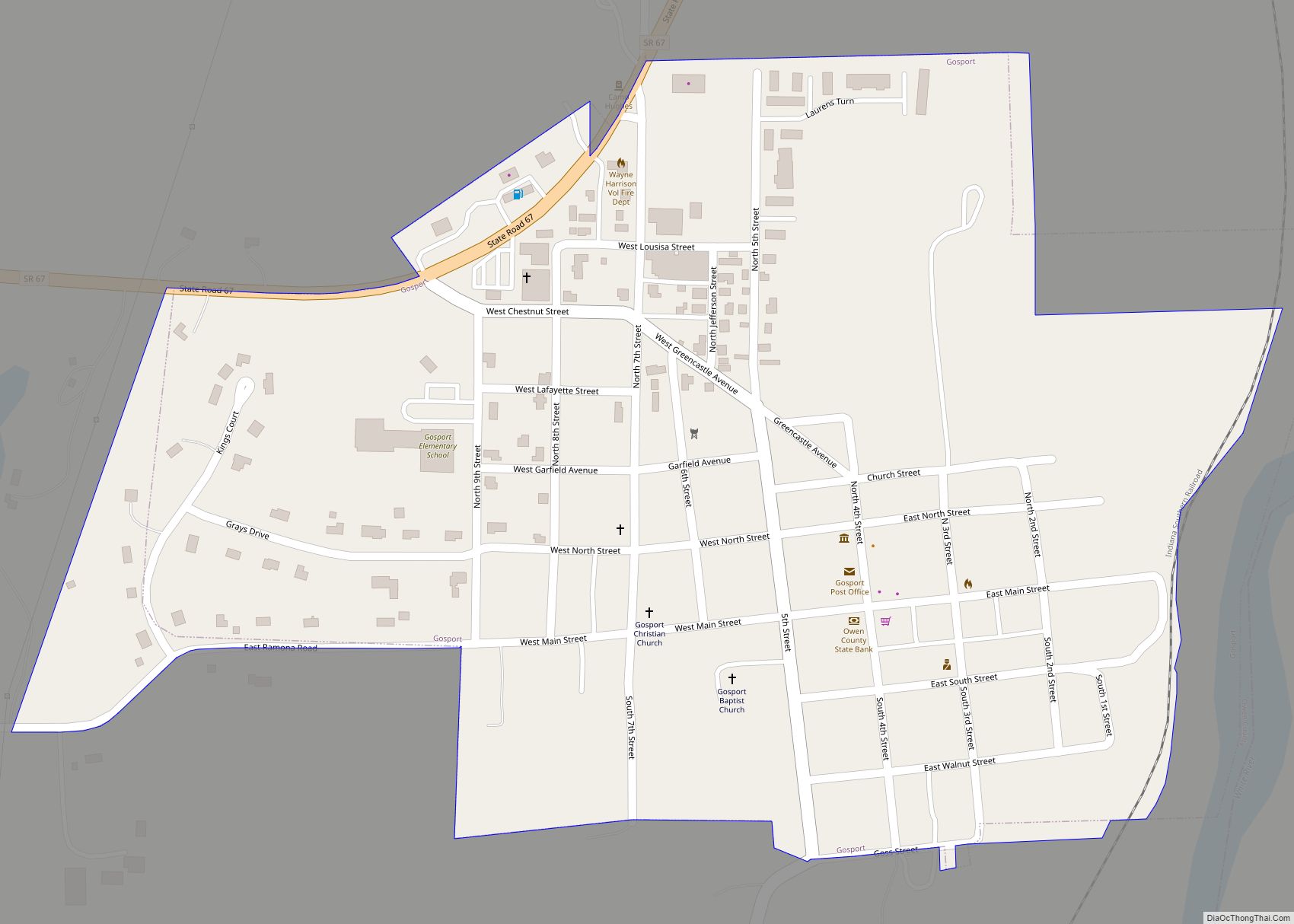
Towns
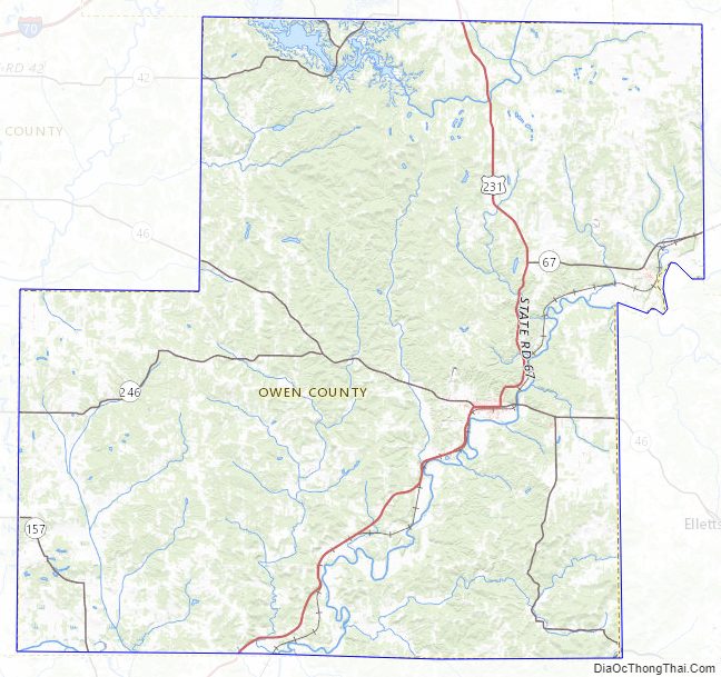
Owen County Topographic Map
Owen County Satellite Map
Owen County Outline Map