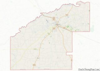
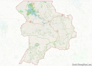
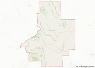
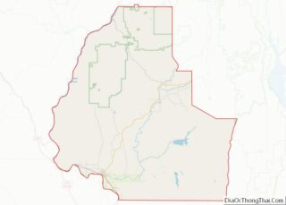
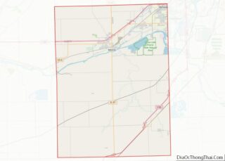
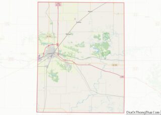
Rush County overview: Name: Rush County FIPS code: 18-139 State: Indiana Founded: 1822 Named for: Benjamin Rush Seat: Rushville Largest city: Rushville Total Area: 408.46 sq mi (1,057.9 km²) Land Area: 408.12 sq mi (1,057.0 km²) Population Density: 40.8/sq mi (15.8/km²) Rush County location map. Where is Rush County? History When the Indiana Territory was granted statehood (20 December 1816), there were ... Read more
Map of US Counties
Warren County is a county in the U.S. state of Indiana. It lies in the western part of the state between the Illinois state line and the Wabash River. According to the 2010 census, it had a population of 8,440. Its county seat is Williamsport. Before the arrival of non-indigenous settlers in the early 19th century, ... Read more
Buchanan County overview: Name: Buchanan County FIPS code: 19-019 State: Iowa Founded: 1837 Named for: James Buchanan Seat: Independence Largest city: Independence Total Area: 573 sq mi (1,480 km²) Land Area: 571 sq mi (1,480 km²) Total Population: 20,565 Population Density: 36/sq mi (14/km²) Time zone: UTC−6 (Central) Summer Time Zone (DST): UTC−5 (CDT) Website: www.buchanancountyiowa.org Buchanan County location map. Where is ... Read more
Davis County is a county located in the U.S. state of Iowa. As of the 2020 census, the population was 9,110. The county seat is Bloomfield. Davis County is included in the Ottumwa, IA Micropolitan Statistical Area. Davis County overview: Name: Davis County FIPS code: 19-051 State: Iowa Founded: 1843 Named for: Garrett Davis Seat: ... Read more
Hardin County is a county located in the U.S. state of Iowa. As of the 2020 census, the population was 16,878. The county seat is Eldora. The county was named in honor of Col. John J. Hardin, of Illinois, who was killed in the Mexican–American War. Hardin County overview: Name: Hardin County FIPS code: 19-083 ... Read more
Louisa County (/luˈaɪzə/ loo-EYE-zə) is a county located in the U.S. state of Iowa. As of the 2020 census, the population was 10,837. The county seat is Wapello. Louisa County is part of the Muscatine Micropolitan Statistical Area. Louisa County overview: Name: Louisa County FIPS code: 19-115 State: Iowa Founded: 1836 Seat: Wapello Largest city: ... Read more
Palo Alto County is a county located in the U.S. state of Iowa. As of the 2020 census, the population was 8,996. The county seat is Emmetsburg. It is named after the Battle of Palo Alto, the first major battle of the Mexican–American War. Palo Alto County overview: Name: Palo Alto County FIPS code: 19-147 ... Read more
Wapello County overview: Name: Wapello County FIPS code: 19-179 State: Iowa Founded: 1843 Named for: Wapello Seat: Ottumwa Largest city: Ottumwa Total Area: 436 sq mi (1,130 km²) Land Area: 432 sq mi (1,120 km²) Total Population: 35,437 Population Density: 81/sq mi (31/km²) Time zone: UTC−6 (Central) Summer Time Zone (DST): UTC−5 (CDT) Website: www.wapellocounty.org Wapello County location map. Where is Wapello ... Read more
Brown County (county code BR) is a county located in the northeast portion of the U.S. state of Kansas. As of the 2020 census, the county population was 9,508. Its county seat and most populous city is Hiawatha. Brown County is the location of the Kickapoo Indian Reservation of Kansas, the majority of the Sac ... Read more
Douglas County (county code DG) is located in the U.S. state of Kansas. As of the 2020 census, the county population was 118,785, making it the fifth-most populous county in Kansas. Its county seat and most populous city is Lawrence. Douglas County overview: Name: Douglas County FIPS code: 20-045 State: Kansas Founded: August 25, 1855 ... Read more
Harper County (county code HP) is a county located in the U.S. state of Kansas. As of the 2020 census, the county population was 5,485. Its county seat and most populous city is Anthony. The county was named for Sergeant Marion Harper of the 2nd Kansas Cavalry, who died of wounds suffered near Waldron, Arkansas, ... Read more
Logan County overview: Name: Logan County FIPS code: 20-109 State: Kansas Founded: February 24, 1887 Named for: John A. Logan Seat: Oakley Largest city: Oakley Total Area: 1,073 sq mi (2,780 km²) Land Area: 1,073 sq mi (2,780 km²) Total Population: 2,762 Population Density: 2.6/sq mi (1.0/km²) Time zone: UTC−6 (Central) Summer Time Zone (DST): UTC−5 (CDT) Website: discoveroakley.com Logan County location ... Read more