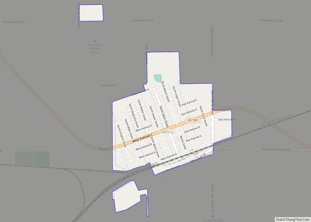
Harper County (county code HP) is a county located in the U.S. state of Kansas. As of the 2020 census, the county population was 5,485. Its county seat and most populous city is Anthony. The county was named for Sergeant Marion Harper of the 2nd Kansas Cavalry, who died of wounds suffered near Waldron, Arkansas, in December 1863.
| Name: | Harper County |
|---|---|
| FIPS code: | 20-077 |
| State: | Kansas |
| Founded: | February 26, 1867 |
| Named for: | Marion Harper |
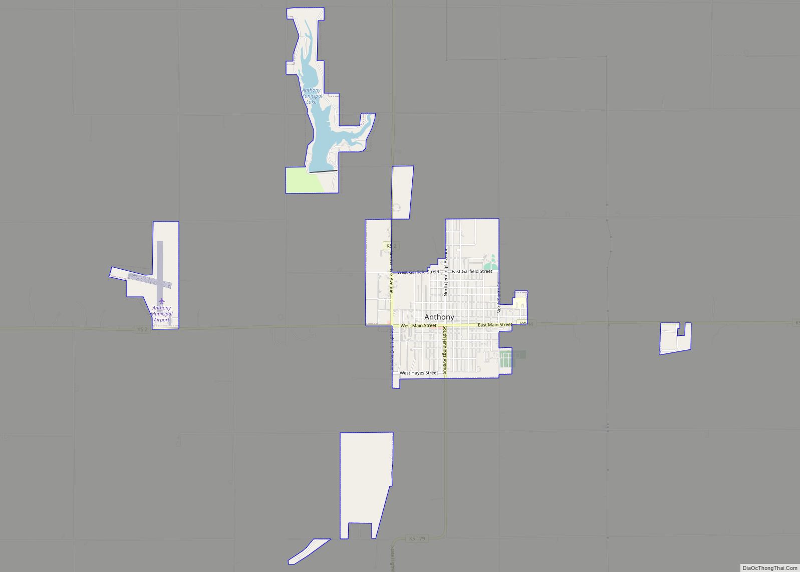
| Seat: | Anthony |
| Largest city: | Anthony |
| Total Area: | 803 sq mi (2,080 km²) |
| Land Area: | 801 sq mi (2,070 km²) |
| Total Population: | 5,485 |
| Population Density: | 6.8/sq mi (2.6/km²) |
| Time zone: | UTC−6 (Central) |
| Summer Time Zone (DST): | UTC−5 (CDT) |
| Website: | HarperCountyKS.gov |
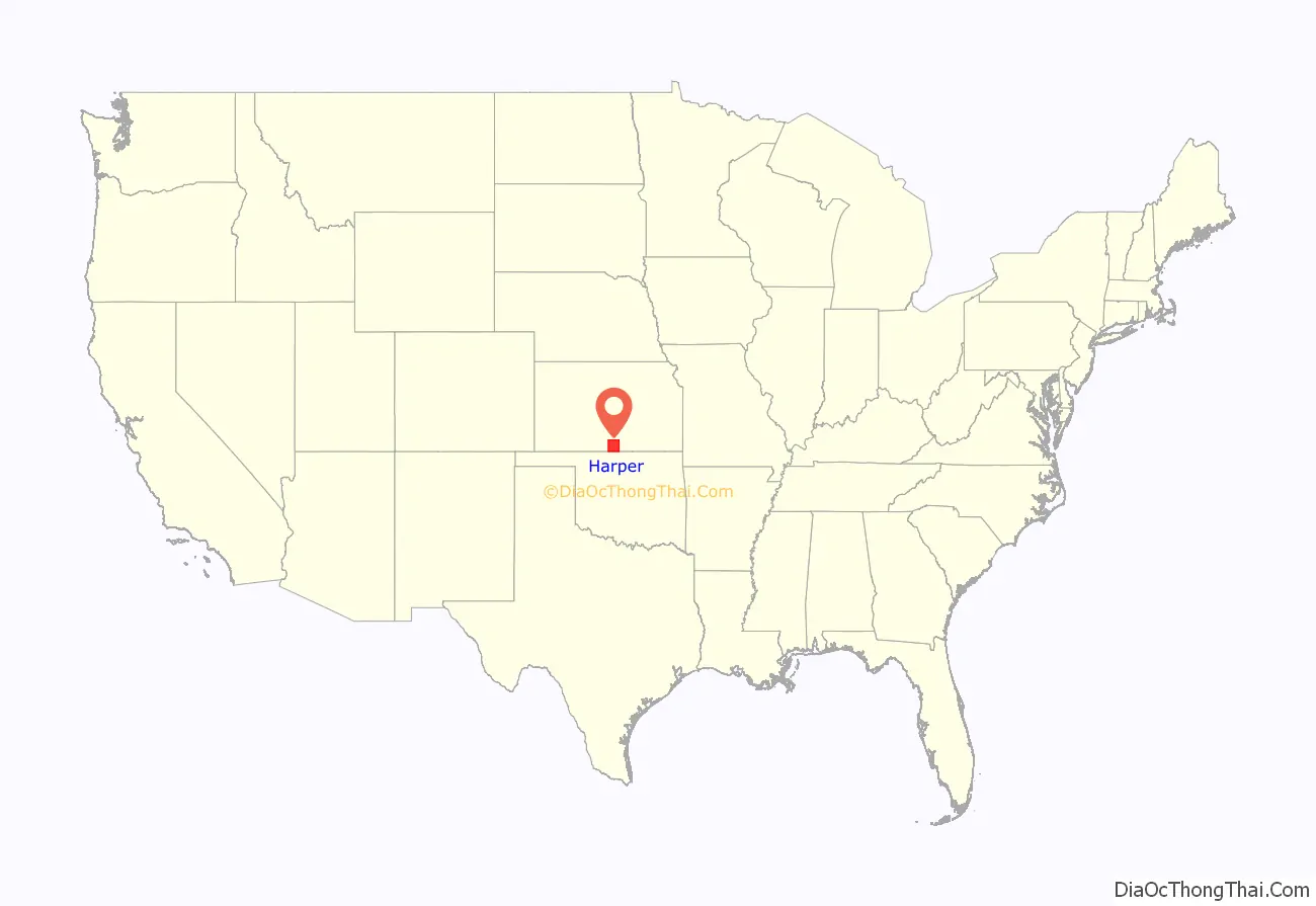
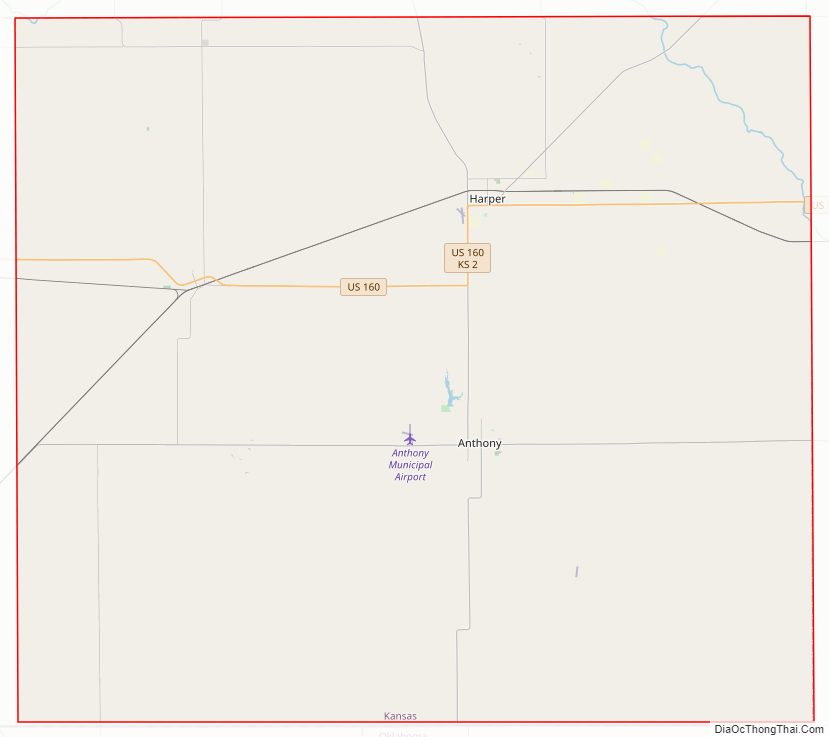
Harper County location map. Where is Harper County?
History
Early history
For many millennia, the Great Plains of North America was inhabited by nomadic Native Americans. From the 16th century to 18th century, the Kingdom of France claimed ownership of large parts of North America. In 1762, after the French and Indian War, France secretly ceded New France to Spain, per the Treaty of Fontainebleau.
19th century
In 1802, Spain returned most of the land to France, but keeping title to about 7,500 square miles. In 1803, most of the land for modern day Kansas was acquired by the United States from France as part of the 828,000 square mile Louisiana Purchase for 2.83 cents per acre.
In 1854, the Kansas Territory was organized, then in 1861 Kansas became the 34th U.S. state. In 1867, Harper County was established.
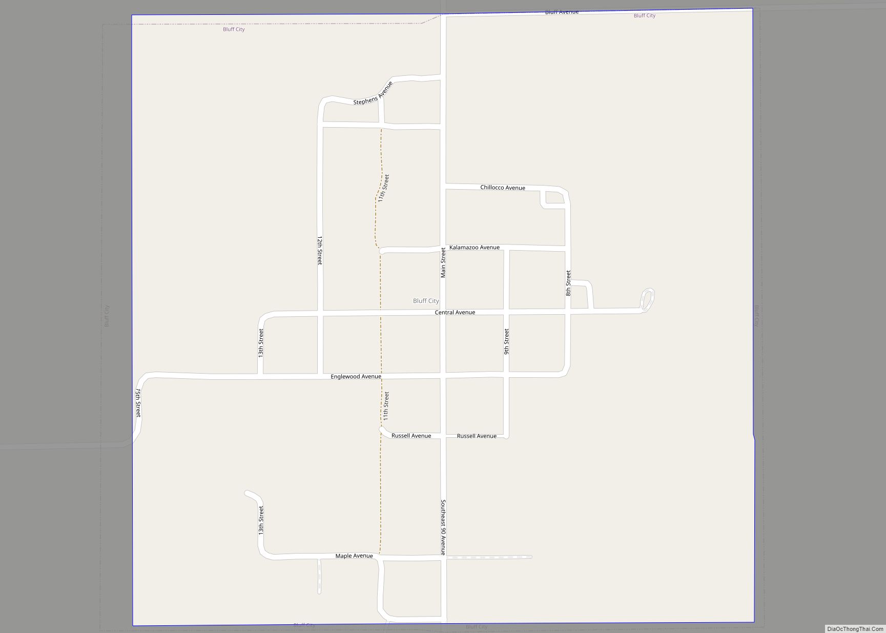
The original organization of Harper County was one of the largest frauds in county government. In 1873, a group of three men organized Harper County, designating the then fictitious city of “Bluff City” as the county seat. The petition for organization used several names out of a Cincinnati city directory to represent as residents of Harper County. In 1874, the state attorney general investigated, and found not a single resident of the county. The “founders” of the county had sold $40,000 worth of bonds.
Harper County was settled starting in 1877, and the county was organized for a second time in 1878 by the Glenn and Robinson families. Since Bluff City could not be shown to have existed, Anthony was designated as the temporary county seat. In an election in 1879, Anthony won as county seat even though 2,960 votes were cast in a county with 800 legal voters.
21st century
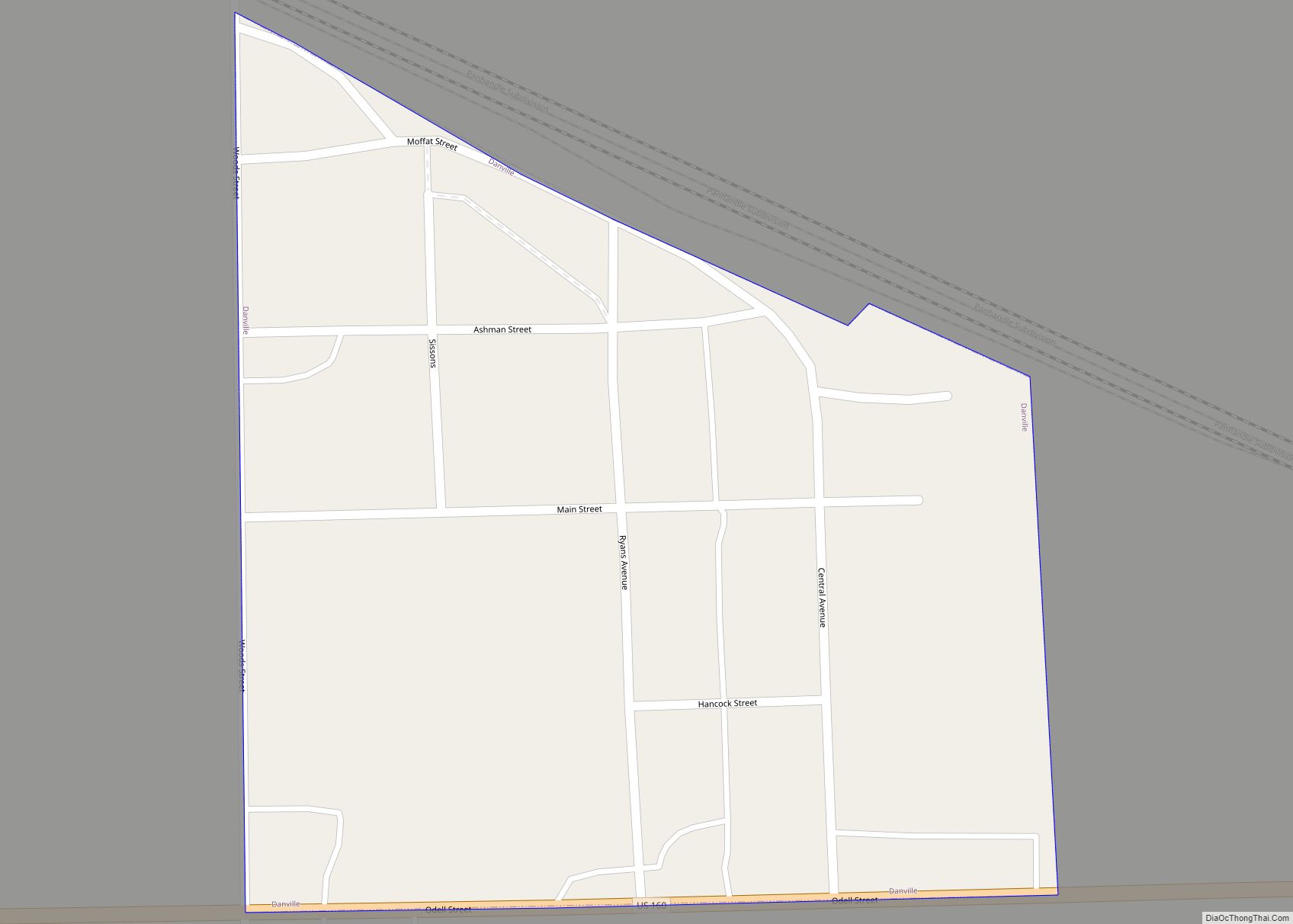
Due to new and high-paying jobs at area oil fields and wind farms, Harper County experienced an economic boom; as of 2012, rental housing and office space in towns such as Danville, Harper, and Anthony had more than quadrupled in price, in properties ranging from double-wide trailers to a Carnegie library. However, by 2016, the oil fracking boom had largely played out and the economies of Harper and adjacent counties suffered under the impact. Earthquakes, due to induced seismicity from injection wells, had also substantially reduced in frequency and intensity, thanks to a Kansas Corporation Commission order mandating cutbacks in volumes and pressures. SandRidge Energy, which along with Chesapeake Energy was one of the two major producers in Harper county, appealed the order, but soon went into bankruptcy.
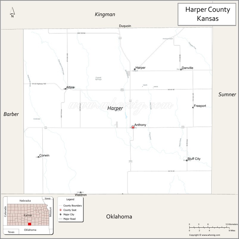
Harper County Road Map
Geography
According to the U.S. Census Bureau, the county has a total area of 803 square miles (2,080 km), of which 801 square miles (2,070 km) is land and 1.5 square miles (3.9 km) (0.2%) is water.
Adjacent counties
- Kingman County (north)
- Sumner County (east)
- Grant County, Oklahoma (southeast)
- Alfalfa County, Oklahoma (southwest)
- Barber County (west)
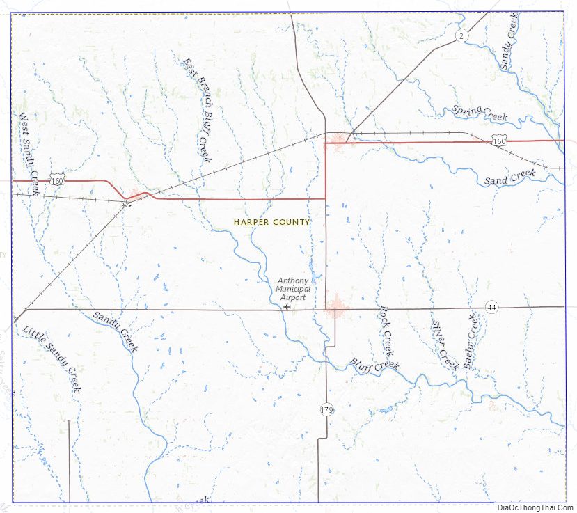
Harper County Topographic Map
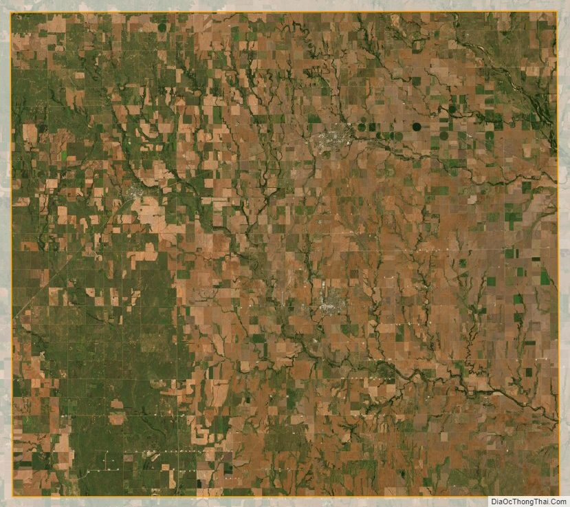
Harper County Satellite Map
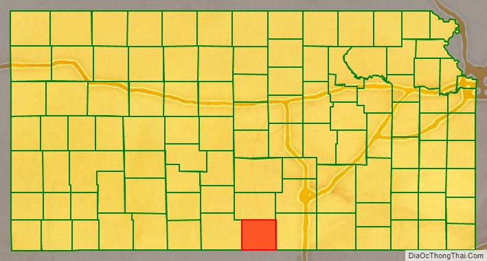
Harper County Outline Map