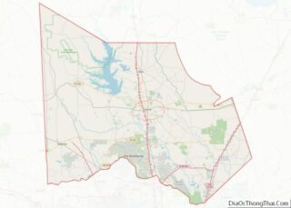
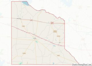
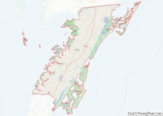
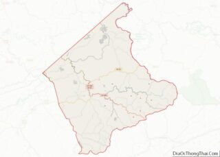
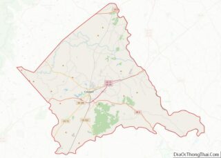
Crittenden County overview: Name: Crittenden County FIPS code: 05-035 State: Arkansas Founded: October 22, 1825 Named for: Robert Crittenden Seat: Marion Largest city: West Memphis Total Area: 636 sq mi (1,650 km²) Land Area: 610 sq mi (1,600 km²) Total Population: 48,163 Population Density: 76/sq mi (29/km²) Time zone: UTC−6 (Central) Summer Time Zone (DST): UTC−5 (CDT) Website: crittenden.ark.org Crittenden County location ... Read more
Map of US Counties
Jackson County is located in the Arkansas Delta in the U.S. state of Arkansas. The county is named for Andrew Jackson, a national hero during the War of 1812. By the county’s formation in 1829, Jackson had become the seventh President of the United States. Jackson County is home to seven incorporated towns and four ... Read more
Nevada County /nəˈveɪ.də/ is a county located in the southwestern part of the U.S. state of Arkansas. As of the 2020 census, the population was 8,310, less than half of its peak in 1920. The county seat is Prescott. Nevada County is Arkansas’s 63rd county, formed during the Reconstruction era on March 20, 1871, from ... Read more
Sebastian County is a county located in the U.S. state of Arkansas. As of the 2020 census, the population was 127,799, making it the fourth-most populous county in Arkansas. The county has two county seats, Greenwood and Fort Smith. Sebastian County is part of the Fort Smith, AR-OK Metropolitan Statistical Area. Sebastian County overview: Name: ... Read more
Contra Costa County (/ˌkɒntrə ˈkɒstə/ (listen); Contra Costa, Spanish for “Opposite Coast”) is a county located in the U.S. state of California, in the East Bay of the San Francisco Bay Area. As of the 2020 United States Census, the population was 1,165,927. The county seat is Martinez. It occupies the northern portion of the ... Read more
Mendocino County (/ˌmɛndəˈsiːnoʊ/ (listen); Mendocino, Spanish for “of Mendoza) is a county located on the North Coast of the U.S. state of California. As of the 2020 census, the population was 91,601. The county seat is Ukiah. Mendocino County consists wholly of the Ukiah, CA Micropolitan Statistical Area (μSA) for the purposes of the U.S. ... Read more
San Joaquin County (/ˌsæn hwɑːˈkiːn/ (listen); Spanish: San Joaquín, meaning “St. Joachim”), officially the County of San Joaquin, is a county located in the U.S. state of California. As of the 2020 census, the population was 779,233. The county seat is Stockton. San Joaquin County comprises the Stockton–Lodi–Tracy metropolitan statistical area within the regional San ... Read more
Tuolumne County overview: Name: Tuolumne County FIPS code: 06-109 State: California Founded: 1850 Seat: Sonora Largest city: Sonora Total Area: 2,274 sq mi (5,890 km²) Land Area: 2,221 sq mi (5,750 km²) Total Population: 55,620 Population Density: 24/sq mi (9.4/km²) Time zone: UTC−8 (Pacific Time Zone) Summer Time Zone (DST): UTC−7 (Pacific Daylight Time) Website: www.co.tuolumne.ca.us Tuolumne County location map. Where is ... Read more
Costilla County (Spanish for “rib”) is a county located in the U.S. state of Colorado. As of the 2020 census, the population was 3,499. The county seat is San Luis, the oldest continuously occupied town in Colorado. Costilla County overview: Name: Costilla County FIPS code: 08-023 State: Colorado Founded: November 1, 1861 Seat: San Luis ... Read more
Huerfano County (/ˈwɛərfənoʊ/; Spanish pronunciation: [ˈweɾfano]) is a county located in the U.S. state of Colorado. As of the 2020 census, the population was 6,820. The county seat is Walsenburg. The county, whose name comes from the Spanish huérfano meaning “orphan”, was named for the Huerfano Butte, a local landmark. The area of Huerfano County boomed ... Read more
Morgan County is a county located in the U.S. state of Colorado. As of the 2020 census, the population was 29,111. The county seat is Fort Morgan. The county was named after old Fort Morgan, which in turn was named in honor of Colonel Christopher A. Morgan. Morgan County comprises the Fort Morgan, CO Micropolitan ... Read more
Teller County is a county located in the U.S. state of Colorado. As of the 2020 census, the population was 24,710. The county seat is Cripple Creek, and the most populous city is Woodland Park. Teller County is included in the Colorado Springs, CO Metropolitan Statistical Area. Teller County overview: Name: Teller County FIPS code: ... Read more