Weber County (/ˈwiːbər/ WEE-bər) is a county in the U.S. state of Utah. As of the 2020 census, the population was 262,223, making it Utah’s fourth-most populous county. Its county seat and largest city is Ogden, the home of Weber State University. The county was named for the Weber River.
Weber County is part of the Ogden-Clearfield, UT Metropolitan Statistical Area as well as the Salt Lake City–Provo–Orem, UT Combined Statistical Area.
| Name: | Weber County |
|---|---|
| FIPS code: | 49-057 |
| State: | Utah |
| Founded: | 1850 |
| Named for: | Weber River |
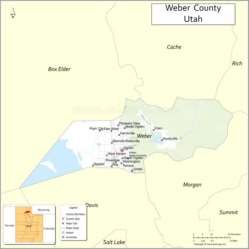
| Seat: | Ogden |
| Largest city: | Ogden |
| Total Area: | 659 sq mi (1,710 km²) |
| Land Area: | 576 sq mi (1,490 km²) |
| Total Population: | 262,223 |
| Population Density: | 400/sq mi (150/km²) |
| Time zone: | UTC−7 (Mountain) |
| Summer Time Zone (DST): | UTC−6 (MDT) |
| Website: | www.co.weber.ut.us |
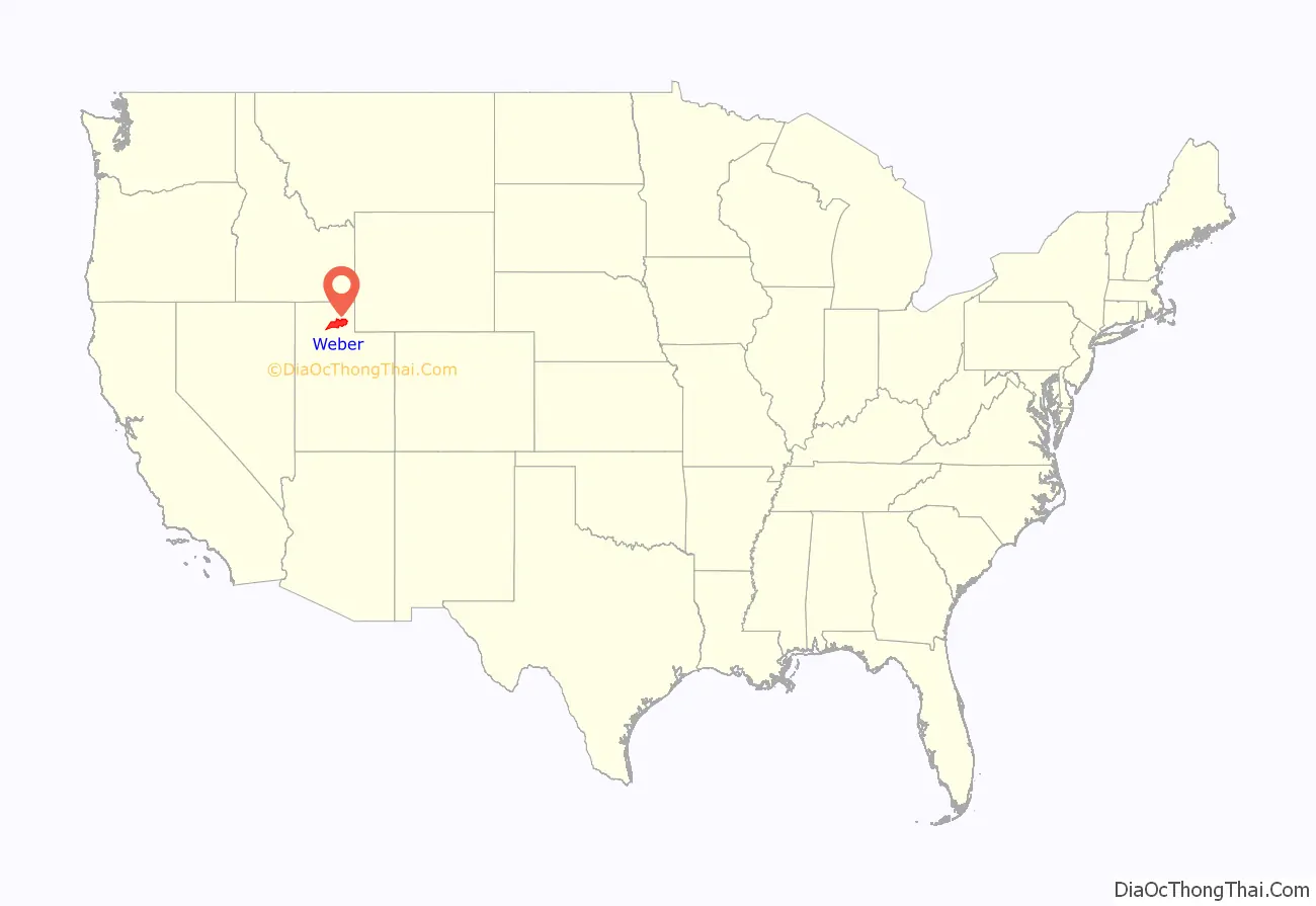
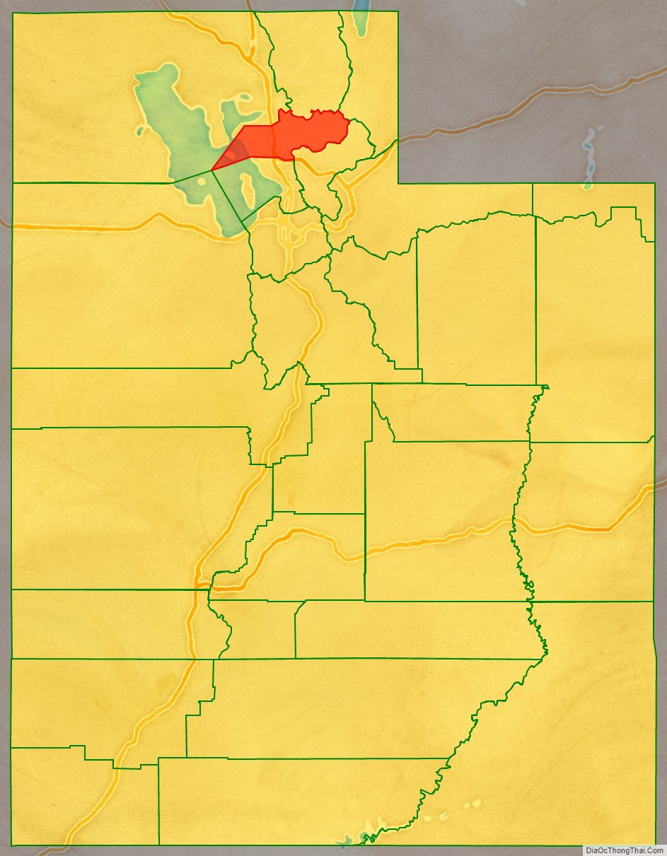
Weber County location map. Where is Weber County?
History
The Weber Valley was visited by many trappers seeking beavers and muskrats along its streams. One of the first on record reached the area in 1824, traveling from Fort Bridger. He reported that the Bear River flowed into a salt bay. Peter Skene Ogden passed through in 1826, representing the Hudson’s Bay Company. He traded in this area for several years, near present-day North Ogden. John C. Frémont explored the Weber Valley in 1843 and made maps of the area. The Fremont reports encouraged readers to seek their fortunes in the western frontier. Miles Goodyear was a fur trapper who constructed a way station on the Weber River in 1845. In 1847 he sold it to incoming Mormon pioneers. James Brown purchased and changed the site’s name to Brownsville (later changed to Ogden).
After the Mormon pioneers began filling out into the future state of Utah, the fledgling government (as of 1849 known as State of Deseret) began a system of government. On January 31, 1850, the legislature provided for the creation of six counties to generally cover the area, named in this order:
- Weber (with Ogden as county seat)
- Great Salt Lake
- Utah
- San Pete
- Tuilla
- Little Salt Lake
The county boundaries were better defined by the 1852 Utah Territory legislature. The borders were adjusted by subsequent acts in 1855, 1856, and 1862. The creation of Nevada Territory in 1862 also administratively reduced the county’s territory significantly since its 1852 description had it running to the Sierra Nevada mountains in central California. A final adjustment in 1880 concerning the various lands in the Great Salt Lake area brought the county’s borders to their present configuration.
As of the 1852 description, the original Weber County stretched from California in the west, to the Oregon boundary on the north, to a point in the middle Davis County in the south. As Nevada and the State of Utah evolved, Weber County was trimmed so that it now occupies a stretch of the Wasatch Front, part of the eastern shores of Great Salt Lake, and much of the rugged Wasatch Mountains.
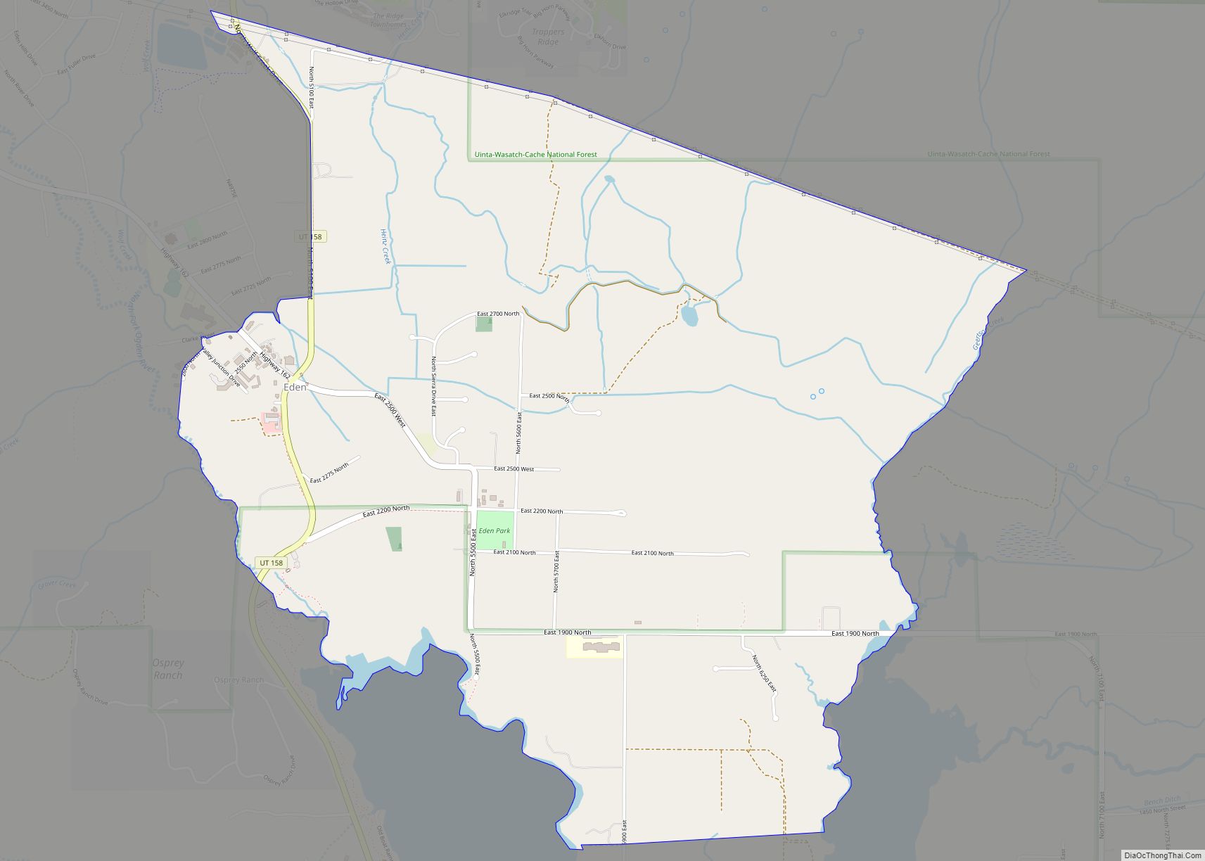
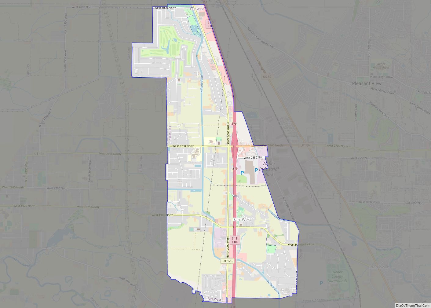
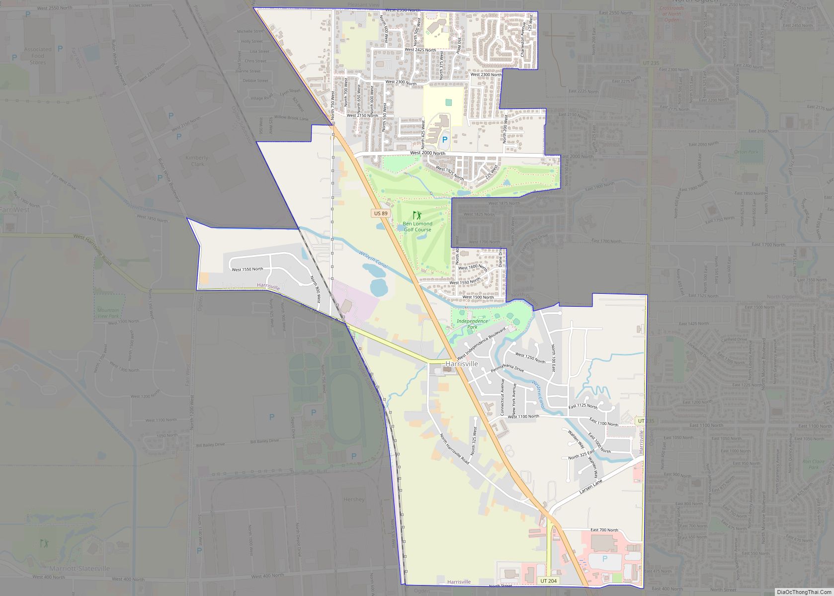
Weber County Road Map
Geography
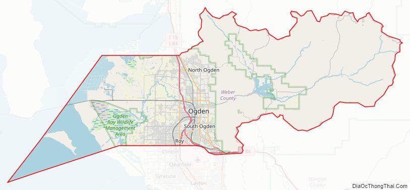
The county extends from high in the Wasatch Range in the east into a portion of the Great Salt Lake to the west, where the county’s elongated point exists. The Weber and Ogden rivers and their tributaries run through its valleys. The Weber County Surveyor’s office divides the county into two regions, the “Lower Valley” and the “Upper Valley”, divided by the ridge of the Wasatch front range south through the county. Lower Valley, adjacent to the Lake, is the county’s more populous part. The Upper Valley consists mostly of the Ogden Valley, the watershed of the Ogden River. The county’s highest elevation is Willard Peak in the Wasatch Mountains, at 9,763′ (2976m) ASL. The county has an area of 659 square miles (1,710 km), of which 576 square miles (1,490 km) is land and 83 square miles (210 km) (13%) is water. It is the second-smallest county in Utah by land area and third-smallest by total area.
Major highways
- Interstate 15
- Interstate 84
- U.S. Route 89
- Utah State Route 37
- Utah State Route 39
- Utah State Route 79
- Utah State Route 97
- Utah State Route 108
- Utah State Route 126
- Utah State Route 134
- Utah State Route 162
- Utah State Route 158
- Utah State Route 167
- Utah State Route 203
- Utah State Route 204
Adjacent counties
- Box Elder County – northwest
- Cache County – north
- Rich County – northeast
- Morgan County – southeast
- Davis County – south
- Tooele County – southwest
Protected areas
- Cache National Forest (part)
- Ogden Bay Waterfowl Management Area
- Weber Memorial Park
- Willard Bay Upland Game Management Area (part)
Lakes
- Beus Pond (aka Beus Reservoir)
- Bluebell Spring
- Box Spring
- Bybee Pond (aka Lybee Reservoir)
- Causey Reservoir
- Choke Spring
- Cold Springs
- Cutler Spring
- Deseret Spring (aka Desert Spring)
- Front Hollow Spring
- Glassman Pond
- Great Salt Lake (part)
- Green Pond
- Huntsville Reservoir
- Lime Kiln Spring
- Limestone Spring
- Little Monte Springs
- Lower Dry Bread Pond
- Meadow Creek Pond
- Monastery Spring
- Norma Springs
- Pineview Reservoir
- The Horseshoe Bend
- Twenty-First Street Pond
- Utaba Reservoir
Weber County Topographic Map
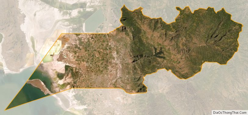
Weber County Satellite Map
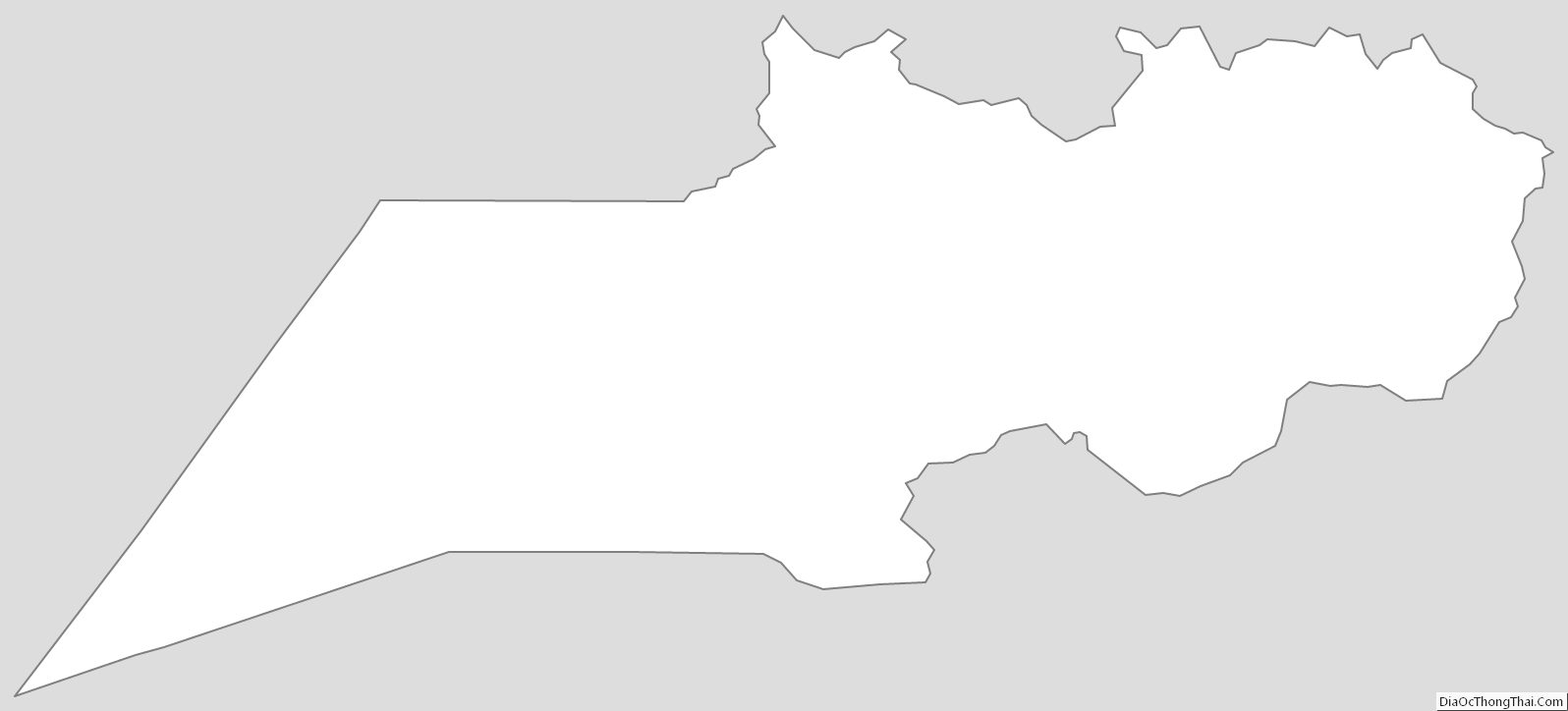
Weber County Outline Map