Map of Quitman County, Georgia
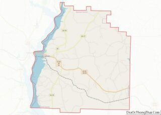
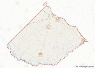
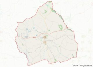
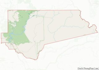
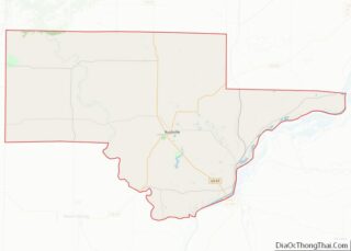
Quitman County is a county located in the southwestern part of the U.S. state of Georgia. As of the 2020 census, the population was 2,235, making it the second-least populous county in Georgia. The county seat is Georgetown. The county was created on December 10, 1858, and named after General John A. Quitman, leader in ... Read more
Map of Quitman County, Georgia
Map of Telfair County, Georgia
Telfair County is a county located in the central portion of the U.S. state of Georgia. As of the 2020 census, the population was 12,477. The largest city and county seat is McRae-Helena. In 2009, researchers from the Fernbank Museum of Natural History announced having found artifacts they associated with the 1541 Hernando de Soto ... Read more
Map of Telfair County, Georgia
Map of Washington County, Georgia
Washington County is a county located in the U.S. state of Georgia. As of the 2020 census, the population was 19,988. The county seat is Sandersville. The county was established on February 25, 1784. It was named for Revolutionary War general (and afterward President of the United States) George Washington. Washington County overview: Name: Washington ... Read more
Map of Washington County, Georgia
Map of Adams County, Idaho
Adams County is a rural county in the state of Idaho. As of the 2020 census, the county had a population of 4,379, making it the fifth-least populous county in Idaho. The county seat and largest city is Council. Established in 1911, the county was named for second U.S. President John Adams. Adams County is ... Read more
Map of Adams County, Idaho
Map of Clearwater County, Idaho
Clearwater County is a county located in the U.S. state of Idaho. As of the 2020 census, the population was 8,734. The county seat is Orofino. Established in 1911, the county was named after the Clearwater River. The county is home to North Fork of the Clearwater River, and a small portion of the South ... Read more
Map of Clearwater County, Idaho
Map of Minidoka County, Idaho
Minidoka County is a county located in the U.S. state of Idaho. As of the 2020 census, the population was 21,613. The county seat and largest city is Rupert. Minidoka County is part of the Burley, ID Micropolitan Statistical Area. The name Minidoka is of Dakota Sioux origin meaning “a fountain or spring of water.” ... Read more
Map of Minidoka County, Idaho
Map of Bureau County, Illinois
Bureau County is a county located in the U.S. state of Illinois. As of the 2020 United States Census, the population was 33,244. Its county seat is Princeton. Bureau County is part of the Ottawa, IL Micropolitan Statistical Area, and the Hennepin Canal Parkway State Park is located partly in this county. Bureau County overview: ... Read more
Map of Bureau County, Illinois
Map of Dupage County, Illinois
DuPage County (/duːˈpeɪdʒ/ doo-PAYJ) is a county in the U.S. state of Illinois, and one of the collar counties of the Chicago metropolitan area. As of the 2020 census, the population was 932,877, making it Illinois’ second-most populous county. Its county seat is Wheaton. Known for its vast tallgrass prairies, DuPage County has become mostly ... Read more
Map of Dupage County, Illinois
Map of Iroquois County, Illinois
Iroquois County is a county located in the northeast part of the U.S. state of Illinois. According to the 2020 United States Census, it has a population of 27,077. It is the only county in the United States to be named Iroquois, after the American Indian people. The county seat is Watseka. The county is ... Read more
Map of Iroquois County, Illinois
Map of Livingston County, Illinois
Livingston County is a county located in the U.S. state of Illinois. According to the 2020 census, it has a population of 35,815. Its county seat is Pontiac. Livingston County comprises the Pontiac, IL Micropolitan Statistical Area, which is combined with the Bloomington–Normal metropolitan statistical area as the Bloomington-Pontiac, IL Combined Statistical Area. Livingston County ... Read more
Map of Livingston County, Illinois
Map of Morgan County, Illinois
Morgan County is a county located in the U.S. state of Illinois. According to the 2010 census, it had a population of 35,547. Its county seat is Jacksonville. Morgan County is part of the Jacksonville, IL Micropolitan Statistical Area, which is also included in the Springfield-Jacksonville-Lincoln, IL Combined Statistical Area. Morgan County overview: Name: Morgan ... Read more
Map of Morgan County, Illinois
Map of Schuyler County, Illinois
Schuyler County is a county in the U.S. state of Illinois. According to the 2010 census, it had a population of 7,544. Its county seat is Rushville. Schuyler County overview: Name: Schuyler County FIPS code: 17-169 State: Illinois Founded: 1825 Named for: Philip Schuyler Seat: Rushville Largest city: Rushville Total Area: 441 sq mi (1,140 km²) Land Area: ... Read more
Map of Schuyler County, Illinois