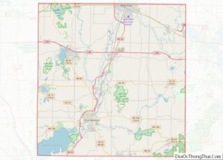
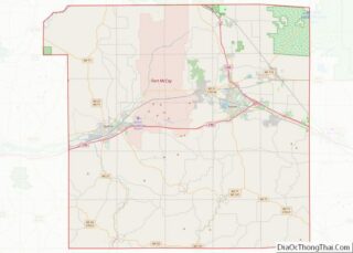
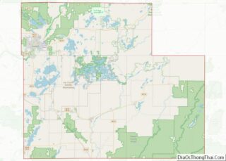
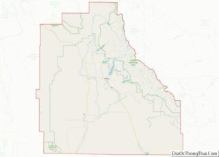
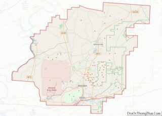
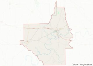
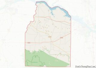
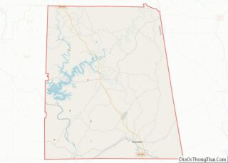
Cass County is a county in the U.S. state of Nebraska. As of the 2010 United States Census, the population was 25,241. Its county seat and largest city is Plattsmouth. The county was formed in 1855, and was named for General Lewis Cass. Cass County is included in the Omaha–Council Bluffs, NE-IA Metropolitan Statistical Area. ... Read more
Map of US Counties
Dundy County is a county in the U.S. state of Nebraska. As of the 2020 United States Census, the population was 1,654. Its county seat is Benkelman. In the Nebraska license plate system, Dundy County is represented by the prefix 76 (it had the seventy-sixth-largest number of vehicles registered in the county when the license ... Read more
Holt County overview: Name: Holt County FIPS code: 31-089 State: Nebraska Founded: 1860 Named for: Joseph Holt Seat: O’Neill Largest city: O’Neill Total Area: 2,417 sq mi (6,260 km²) Land Area: 2,412 sq mi (6,250 km²) Total Population: 10,127 Population Density: 4.2/sq mi (1.6/km²) Time zone: UTC−6 (Central) Summer Time Zone (DST): UTC−5 (CDT) Website: www.co.holt.ne.us Holt County location map. Where is ... Read more
Merrick County overview: Name: Merrick County FIPS code: 31-121 State: Nebraska Founded: 1858 Named for: Elvira Merrick Seat: Central City Largest city: Central City Total Area: 494 sq mi (1,280 km²) Land Area: 485 sq mi (1,260 km²) Total Population: 7,665 Population Density: 16.3/sq mi (6.3/km²) Time zone: UTC−6 (Central) Summer Time Zone (DST): UTC−5 (CDT) Website: merrickcounty.ne.gov Merrick County location map. ... Read more
Sarpy County is a county located in the U.S. state of Nebraska. As of the 2020 United States Census, the population was 190,604, making it the third-most populous county in Nebraska. Its county seat is Papillion. Sarpy County is part of the Omaha–Council Bluffs, NE-IA Metropolitan Statistical Area. Sarpy County overview: Name: Sarpy County FIPS ... Read more
Carson City is an independent city and the capital of the U.S. state of Nevada. As of the 2020 census, the population was 58,639, making it the sixth largest city in Nevada. The majority of the city’s population lives in Eagle Valley, on the eastern edge of the Carson Range, a branch of the Sierra ... Read more
White Pine County overview: Name: White Pine County FIPS code: 32-033 State: Nevada Founded: 1869 Named for: Rocky Mountain white pine Seat: Ely Largest city: Ely Total Area: 8,897 sq mi (23,040 km²) Land Area: 8,876 sq mi (22,990 km²) Total Population: 9,080 Population Density: 1.0/sq mi (0.39/km²) Time zone: UTC−8 (Pacific) Summer Time Zone (DST): UTC−7 (PDT) Website: whitepinecounty.net White Pine ... Read more
Cumberland County overview: Name: Cumberland County FIPS code: 34-011 State: New Jersey Founded: 1748 Named for: Prince William, Duke of Cumberland Seat: Bridgeton Total Area: 677.62 sq mi (1,755.0 km²) Land Area: 483.70 sq mi (1,252.8 km²) Total Population: 154,152 Population Density: 318.9/sq mi (123.1/km²) Website: co.cumberland.nj.us Cumberland County location map. Where is Cumberland County? History Etymology The county is named for ... Read more
Bernalillo County (/ˌbɜːrnəˈliːjoʊ/; Spanish: Condado de Bernalillo) is the most populous county in the U.S. state of New Mexico. As of the 2020 census, the population was 676,444. The county seat, Albuquerque, is the most populous city in New Mexico. Bernalillo County is the central county of the Albuquerque, NM Metropolitan Statistical Area. Bernalillo County ... Read more
Luna County is a county located in the U.S. state of New Mexico. As of the 2010 census, the population was 25,095. Its county seat is Deming. This county abuts the Mexican border. Luna County comprises the Deming, NM Micropolitan Statistical Area. Luna County overview: Name: Luna County FIPS code: 35-029 State: New Mexico Founded: ... Read more
Valencia County (Spanish: Condado de Valencia) is a county in the U.S. state of New Mexico. As of the 2010 census, the population was 76,569. The county seat is Los Lunas. Valencia County is included in the Albuquerque, NM Metropolitan Statistical Area. The county was a significant bellwether region that held the longest record for ... Read more
Essex County is a county in the U.S. state of New York. As of the 2020 census, the population was 37,381. Its county seat is the hamlet of Elizabethtown. Its name is from the English county of Essex. Essex is one of only 2 counties that are entirely within the Adirondack Park, the other being ... Read more