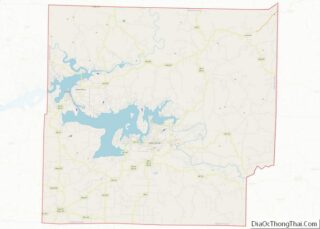
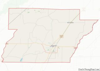
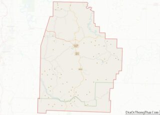
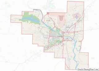
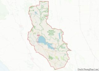
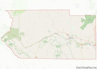
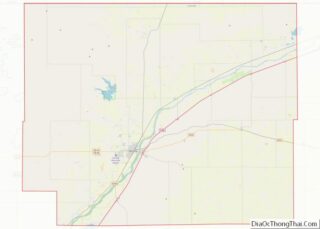
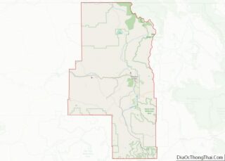
Map of Randolph County

Map of Randolph County, Indiana

Randolph County is a county located in the central section of U.S. state of Indiana, on its eastern border with Ohio. As of 2010, the population was 26,171. The county seat is Winchester. Randolph County overview: Name: Randolph County FIPS code: 18-135 State: Indiana Founded: 1818 Named for: Peyton Randolph Seat: Winchester Largest city: Winchester … Read more

Map of Vigo County

Map of Vigo County, Indiana

Vigo County (/ˈviːɡoʊ/ VEE-goh) is a county on the western border of the U.S. state of Indiana. According to the 2020 United States Census, it had a population of 105,994. Its county seat is Terre Haute. Vigo County is included in the Terre Haute metropolitan area. The county contains four incorporated settlements with a total … Read more

Map of Boone County

Map of Boone County, Iowa

Boone County is a county in the U.S. state of Iowa. As of the 2020 census, the population was 26,715. Its county seat is Boone. Boone County comprises the Boone, IA Micropolitan Statistical Area, which is included in the Des Moines–Ames–West Des Moines, IA Combined Statistical Area. Boone County overview: Name: Boone County FIPS code: … Read more

Map of Crawford County

Map of Crawford County, Iowa

Crawford County is a county located in the U.S. state of Iowa. As of the 2020 census, the population was 16,525. Its county seat is Denison. The county was named for William Harris Crawford, U.S. senator from Georgia and United States Secretary of the Treasury. Crawford County overview: Name: Crawford County FIPS code: 19-047 State: … Read more

Map of Hamilton County

Map of Hamilton County, Iowa

Hamilton County is a county located in the U.S. state of Iowa. As of the 2020 census, the population was 15,039. The county seat is Webster City. The county was named to honor William W. Hamilton, a President of the Iowa State Senate. Hamilton County overview: Name: Hamilton County FIPS code: 19-079 State: Iowa Founded: … Read more

Map of Lee County

Map of Lee County, Iowa

Lee County overview: Name: Lee County FIPS code: 19-111 State: Iowa Founded: 1836 Seat: Fort Madison and Keokuk Largest city: Fort Madison Total Area: 539 sq mi (1,400 km²) Land Area: 518 sq mi (1,340 km²) Total Population: 33,555 Population Density: 62/sq mi (24/km²) Time zone: UTC−6 (Central) Summer Time Zone (DST): UTC−5 (CDT) Website: www.leecounty.org Lee County location map. Where is … Read more

Map of Osceola County

Map of Osceola County, Iowa

Osceola County (/ˌɒsiˈoʊlə/ AH-see-OH-lə) is a county located in the U.S. state of Iowa. As of the 2020 census the population was 6,192, making it the state’s fifth-least populous county. It is named for Seminole war chief Osceola. The county seat is Sibley, named for H. H. Sibley of Minnesota. Osceola County overview: Name: Osceola … Read more

Map of Union County

Map of Union County, Iowa

Union County is a county located in the southern part of the U.S. state of Iowa. As of the 2020 census, the population was 12,138. The county seat is Creston. Organized at a time of tensions before the Civil War, the county was named in 1853 for the union that people wanted to preserve. The … Read more

Map of Barton County

Map of Barton County, Kansas

Barton County (standard abbreviation: BT) is a county located in the U.S. state of Kansas. As of the 2020 census, the county population was 25,493. Its county seat and most populous city is Great Bend. The county is named in honor of Clara Barton, responsible for the founding of the American Red Cross. It is … Read more

Map of Dickinson County

Map of Dickinson County, Kansas

Dickinson County (county code DK) is a county in Central Kansas. As of the 2020 census, the county population was 18,402. Its county seat and most populous city is Abilene. The county was named in honor of Daniel S. Dickinson. Dickinson County overview: Name: Dickinson County FIPS code: 20-041 State: Kansas Founded: February 20, 1857 … Read more

Map of Greenwood County

Map of Greenwood County, Kansas

Greenwood County (county code GW) is a county located in the southeast portion of the U.S. state of Kansas. As of the 2020 census, the county population was 6,016. Its county seat and most populous city is Eureka. Greenwood County overview: Name: Greenwood County FIPS code: 20-073 State: Kansas Founded: August 25, 1855 Named for: … Read more

Map of Lincoln County

Map of Lincoln County, Kansas

Lincoln County overview: Name: Lincoln County FIPS code: 20-105 State: Kansas Founded: February 26, 1867 Named for: Abraham Lincoln Seat: Lincoln Largest city: Lincoln Total Area: 720 sq mi (1,900 km²) Land Area: 719 sq mi (1,860 km²) Total Population: 2,939 Population Density: 4.1/sq mi (1.6/km²) Time zone: UTC−6 (Central) Summer Time Zone (DST): UTC−5 (CDT) Website: lincolncoks.com Lincoln County location map. … Read more