Sullivan County is a county located in the U.S. state of Tennessee on its northeast border. As of the 2020 census, the population was 158,163. Its county seat is Blountville.
Sullivan County is part of the Kingsport–Johnson City–Bristol, TN-VA Metropolitan Statistical Area, which is a component of the Kingsport–Johnson City–Bristol, TN-VA Combined Statistical Area, commonly known as the “Tri-Cities” region.
Sullivan is Tennessee’s second-oldest county; it was established in 1779 when the area was still part of North Carolina. From 1784 to 1788, it was part of the extra-legal State of Franklin.
| Name: | Sullivan County |
|---|---|
| FIPS code: | 47-163 |
| State: | Tennessee |
| Founded: | 1779 |
| Named for: | General John Sullivan |
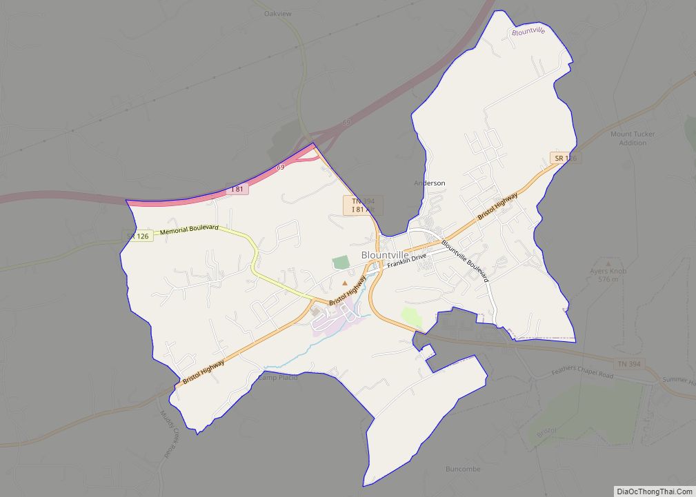
| Seat: | Blountville |
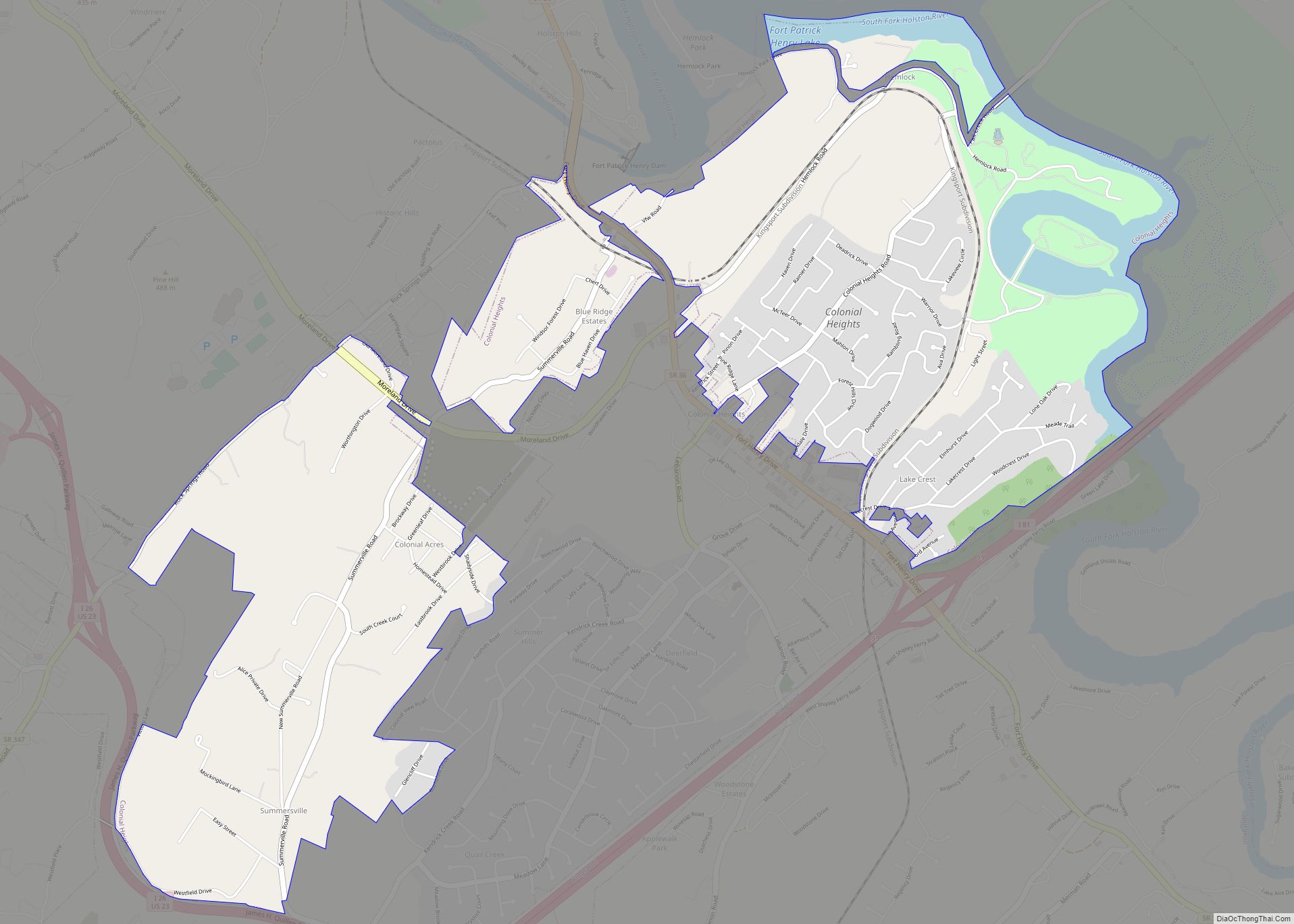
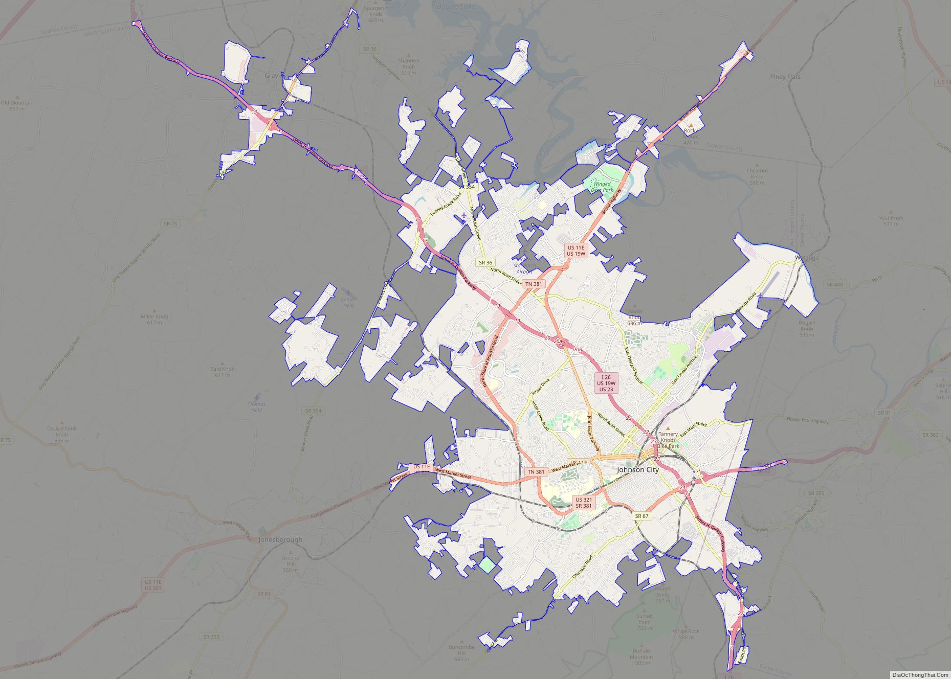
| Largest city: | Kingsport |
| Total Area: | 430 sq mi (1,100 km²) |
| Land Area: | 413 sq mi (1,070 km²) |
| Total Population: | 158,163 |
| Population Density: | 379/sq mi (146/km²) |
| Time zone: | UTC−5 (Eastern) |
| Summer Time Zone (DST): | UTC−4 (EDT) |
| Website: | sullivancountytn.gov |
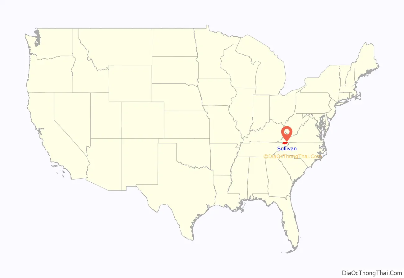
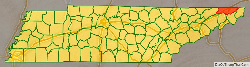
Sullivan County location map. Where is Sullivan County?
History
Sullivan County was created in 1779 from a portion of Washington County, and named for John Sullivan, a Patriot general in the Revolutionary War. Long Island of the Holston in Kingsport was long an important center for the Cherokee, who occupied much of this territory. Later in 1761 the British colonists built Fort Robinson on Long Island, following the fall of Fort Loudoun further to the south. This attracted other settlers, and the Sullivan area became one of the earliest areas of Tennessee to be settled by European Americans.
As political tensions rose prior to the American Civil War, Sullivan County was one of the few East Tennessee counties to support secession. It became known as the Little Confederacy. In Tennessee’s June 1861 referendum, the county voted 1,586 to 627 in favor of secession.
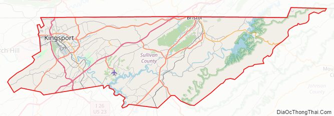
Sullivan County Road Map
Geography
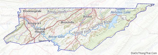
According to the U.S. Census Bureau, the county has a total area of 430 square miles (1,100 km), of which 413 square miles (1,070 km) is land and 16 square miles (41 km) (3.8%) is water. The western portion of the county lies within the Ridge-and-Valley Appalachians, which are characterized by long, narrow ridges roughly oriented northeast-to-southwest. The northeastern end of Bays Mountain, part of the Ridge-and-Valley range, rises southwest of Kingsport. The eastern portion of the county lies within the Blue Ridge Mountains. Holston Mountain, which at 4,284 feet (1,306 m) is the highest point in Sullivan, straddles the county’s eastern boundary with Johnson County.
In Kingsport, the South Fork Holston River and the North Fork Holston River join to form the Holston River, one of the tributaries of the Tennessee River. The Watauga River, a tributary of the South Fork Holston, forms part of Sullivan’s boundary with Washington County to the south. The North Fork Holston forms part of Sullivan’s boundary with Hawkins County to the west. Fort Patrick Henry Dam and Boone Dam both create large artificial lakes along the South Fork Holston southeast of Kingsport.
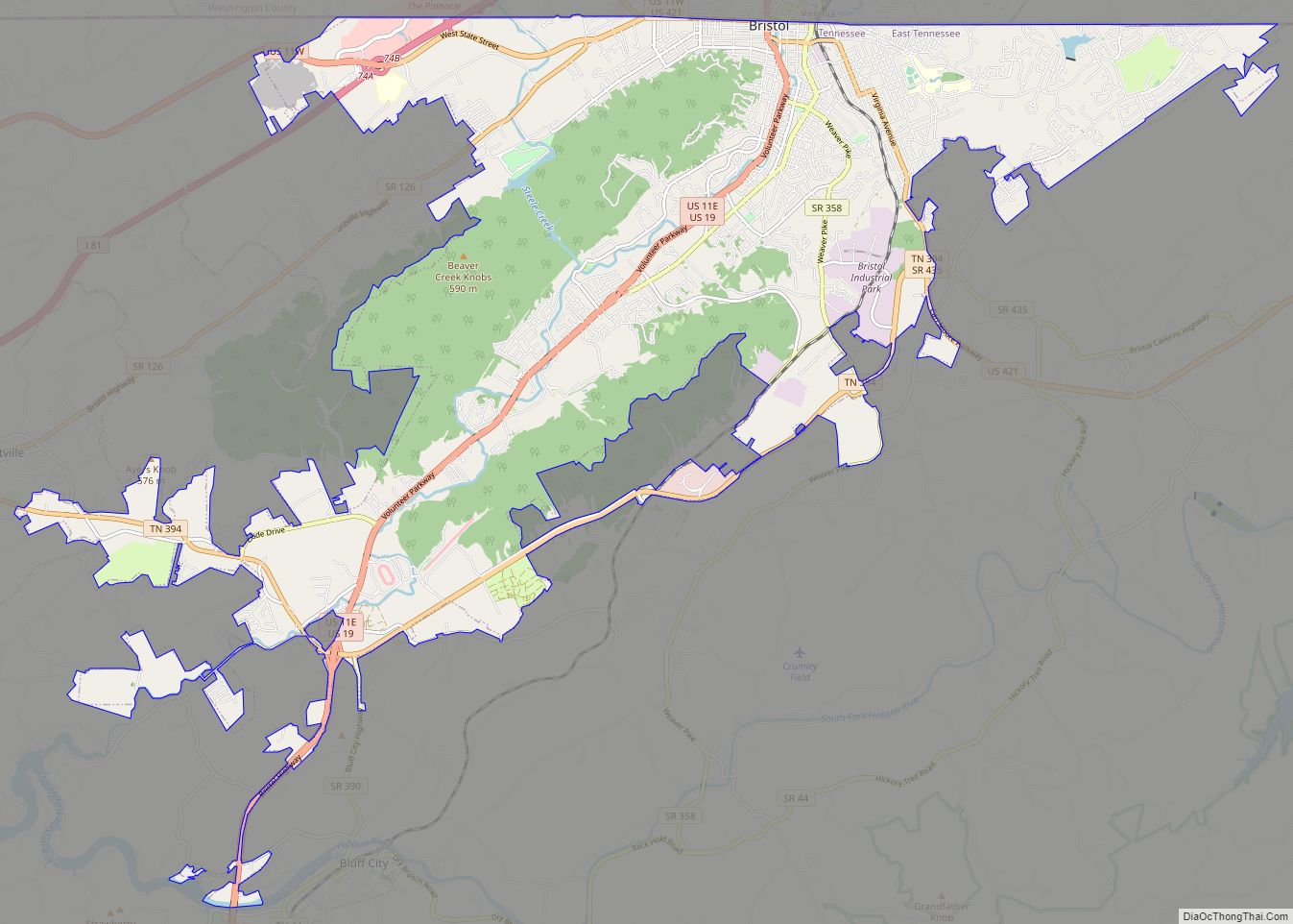
Blountville, Sullivan’s county seat, is Tennessee’s only unincorporated county seat.
Morrell Cave
Morrell Cave (also known as Worleys Cave) is a Tennessee State Natural Area. The cave has a surveyed length of 4.4 miles (7.1 km), making it the second-longest cave in East Tennessee and the 177th longest cave in the United States. Morrell Cave is located on the south side of the Holston River, 2.5 miles (4.0 km) east of Bluff City.
During the Civil War, the cave was a major source of saltpeter, the main ingredient of gunpowder. Significant evidence of this mining activity remains in the cave, including evidence of large amounts of saltpeter-bearing dirt having been removed, pick marks in the dirt, and an elaborate system of trails used by the miners. Cave historian Marion O. Smith has determined that two companies of the Confederate Nitre and Mining Bureau, District No. 7, were active in Sullivan County.
Adjacent counties and independent city
- Scott County, Virginia (north)
- Washington County, Virginia (northeast)
- Bristol, Virginia (northeast)
- Johnson County (east)
- Carter County (southeast)
- Washington County (south)
- Hawkins County (west)
National protected areas
- Appalachian Trail (part)
- Cherokee National Forest (part)
State protected areas
- Morrell’s Cave State Natural Area
- Rocky Mount State Historic Site
- Warriors’ Path State Park
Other protected areas
- Bays Mountain Park (part)
Major highways
- I-26
- I-81
- US 11E
- US 11W
- US 19
- US 19E
- US 19W
- US 23
- US 421
- SR 1
- SR 34
- SR 36
- SR 44
- SR 75
- SR 93
- SR 126
- SR 346
- SR 347
- SR 357
- SR 358
- SR 390
- SR 394
- SR 435
Sullivan County Topographic Map
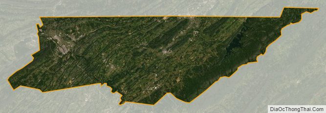
Sullivan County Satellite Map
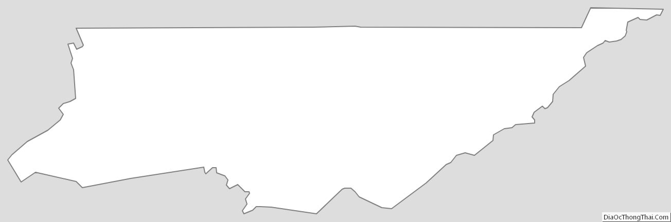
Sullivan County Outline Map