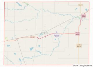
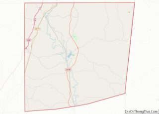
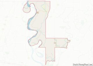
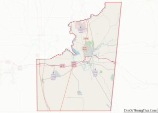
Map of Osceola County

Map of Osceola County, Michigan

Osceola County (/ˌɒsiˈoʊlə/ AH-see-OH-lə) is a county in the U.S. state of Michigan. As of the 2020 United States Census, the population was 22,891. The county seat is Reed City. Osceola County overview: Name: Osceola County FIPS code: 26-133 State: Michigan Founded: 1840 Named for: Osceola Seat: Reed City Largest city: Reed City Total Area: … Read more

Map of Wexford County

Map of Wexford County, Michigan

Wexford County is a county in the Northern Lower Peninsula of the U.S. state of Michigan. As of the 2020 United States Census, the population was 33,673. The seat of Wexford County is Cadillac, which is also the county’s largest city. Wexford County is largely covered by the Manistee National Forest, and thus is heavily … Read more

Map of Cook County

Map of Cook County, Minnesota

Cook County is the easternmost county in the U.S. state of Minnesota. As of the 2020 census, the population was 5,600, making it Minnesota’s seventh-least populous county. Its county seat is Grand Marais. The Grand Portage Indian Reservation is in the county. Cook County overview: Name: Cook County FIPS code: 27-031 State: Minnesota Founded: March … Read more

Map of Jackson County

Map of Jackson County, Minnesota

Jackson County is a county in the U.S. state of Minnesota. As of the 2020 census, the population was 9,989. Its county seat is Jackson. Jackson County overview: Name: Jackson County FIPS code: 27-063 State: Minnesota Founded: May 23, 1857 Named for: Henry Jackson Seat: Jackson Largest city: Jackson Total Area: 719 sq mi (1,860 km²) Land Area: … Read more

Map of Meeker County

Map of Meeker County, Minnesota

Meeker County is a county in the U.S. state of Minnesota. As of the 2020 census, the population was 23,400. Its county seat is Litchfield. Meeker County overview: Name: Meeker County FIPS code: 27-093 State: Minnesota Founded: February 23, 1856 Named for: Bradley B. Meeker, an associate justice of Minnesota Territorial Court Seat: Litchfield Largest … Read more

Map of Red Lake County

Map of Red Lake County, Minnesota

Red Lake County is a county in the Northwestern part of the U.S. state of Minnesota. As of the 2020 census, the population was 3,935, making it the third-least populous county in Minnesota. Its county seat is Red Lake Falls. Red Lake County overview: Name: Red Lake County FIPS code: 27-125 State: Minnesota Founded: December … Read more

Map of Wabasha County

Map of Wabasha County, Minnesota

Wabasha County is a county in the U.S. state of Minnesota. As of the 2020 census, the population was 21,387. Its county seat is Wabasha. Wabasha County is part of the Rochester Metropolitan Statistical Area. Wabasha County overview: Name: Wabasha County FIPS code: 27-157 State: Minnesota Founded: October 27, 1849 Named for: Wabasha (city) Seat: … Read more

Map of Carroll County

Map of Carroll County, Mississippi

Carroll County is a county in the U.S. state of Mississippi. As of the 2020 census, the population was 9,998. Its county seats are Carrollton and Vaiden. The county is named for Charles Carroll of Carrollton, the last surviving signatory of the Declaration of Independence. Carroll County is part of the Greenwood, Micropolitan Statistical Area. … Read more

Map of Harrison County

Map of Harrison County, Mississippi

Harrison County is a county located in the U.S. state of Mississippi. As of the 2020 census, the population was 208,621, making it the second-most populous county in Mississippi. Its county seats are Biloxi and Gulfport. The county is named after U.S. President William Henry Harrison. Harrison County is part of the Gulfport-Biloxi metropolitan area. … Read more

Map of Leake County

Map of Leake County, Mississippi

Leake County is a county located in the center of the U.S. state of Mississippi. As of the 2020 census, the population was 21,275. Its county seat is Carthage. The county is named for Walter Leake, the Governor of Mississippi from 1822 to 1825. In 2010, the center of population of Mississippi was located in … Read more

Map of Perry County

Map of Perry County, Mississippi

Perry County is a county located in the U.S. state of Mississippi. As of the 2020 census, the population was 11,511. The county seat is New Augusta. The county is named after the War of 1812 naval hero, Oliver Hazard Perry. Perry County is part of the Hattiesburg, MS Metropolitan Statistical Area. Until 1906, the … Read more

Map of Tunica County

Map of Tunica County, Mississippi

Tunica County is a county located in the U.S. state of Mississippi. As of the 2020 census, the population was 9,782. Its county seat is Tunica. The county is named for the Tunica Native Americans. Most migrated to central Louisiana during the colonial period. Tunica County is part of the Memphis, TN-MS-AR Metropolitan Statistical Area. … Read more