Greensville County is a county located in the Commonwealth of Virginia. As of the 2020 census, the population was 11,391. Its county seat is Emporia.
| Name: | Greensville County |
|---|---|
| FIPS code: | 51-081 |
| State: | Virginia |
| Founded: | 1780 |
| Seat: | Emporia |
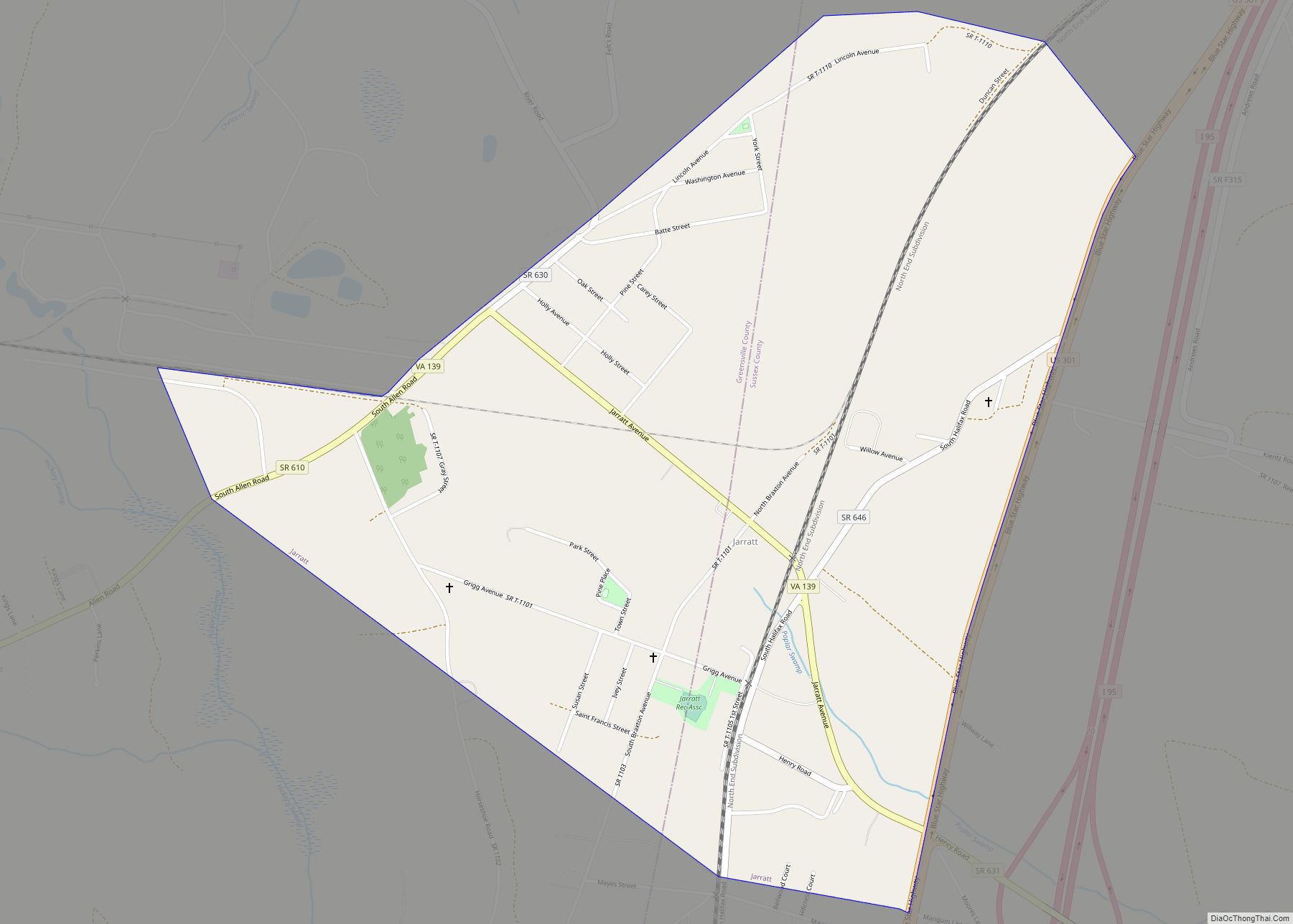
| Largest town: | Jarratt |
| Total Area: | 297 sq mi (770 km²) |
| Land Area: | 295 sq mi (760 km²) |
| Total Population: | 11,391 |
| Population Density: | 38/sq mi (15/km²) |
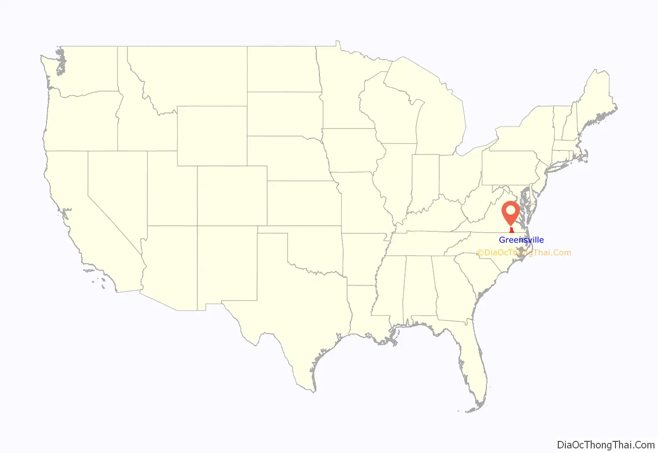
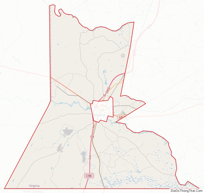
Greensville County location map. Where is Greensville County?
History
Greensville County was established in 1781 from Brunswick County. The county is probably named for Sir Richard Grenville, leader of the settlement on Roanoke Island, 1585. There is also belief that it may be named after Nathanael Greene, a major general of the Continental Army and one of George Washington’s brightest officers.
An early chapter of the National Association for the Advancement of Colored People was formed in Greensville County and Emporia (the county seat) in May 1940, under the leadership of dentist Dr. F. A. Sealy, of Boydton, Virginia and president of the Mecklenburg County, Virginia branch. However he died in 1943, as efforts to desegregate the county’s schools began with the assistance of attorneys Oliver Hill. After service in World War II, Hill’s colleague Samuel W. Tucker moved to Emporia, married a schoolteacher and became the county’s only African American attorney, as well as a leader in desegregating schools across Virginia.
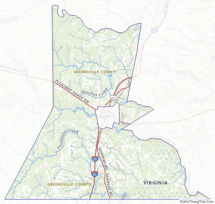
Greensville County Road Map
Geography
According to the U.S. Census Bureau, the county has a total area of 297 square miles (770 km), of which 295 square miles (760 km) is land and 1.6 square miles (4.1 km) (0.5%) is water.
The Meherrin River forms the boundary between Greensville County and Southampton County.
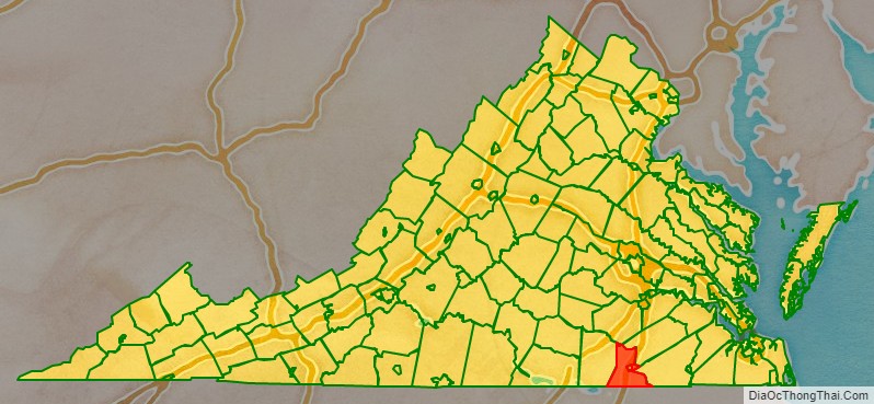
Adjacent counties / independent city
- Brunswick County, Virginia – west
- Dinwiddie County, Virginia – north
- Sussex County, Virginia – northeast
- Southampton County, Virginia – east
- Northampton County, North Carolina – south
- Emporia, Virginia – surrounded by Greensville County
Major highways
- I-95, the major north–south highway on the Eastern Seaboard enters Greensville County from North Carolina. Access to the county is available at Exits 4, 8, 11 (if you include Emporia) 12, and 13 before the road crosses the Greensville-Sussex County Line.
- US 58, the principal west–east route through southern Virginia at large, including Greensville County. The road connects the Cumberland Gap area of Tennessee to the Hampton Roads area, entering the county from Brunswick County and leaving at Southampton County. A Business Route of US 58 exists within Emporia.
- US 301, the principal south–north route Greensville County and Emporia until it was supplanted by I-95. A spur of US Route 1, it enters Greensville County from North Carolina, serves as a major boulevard in Historic Emporia, and leaves at Sussex County south of Jarratt.
- SR 139, a state spur route running northwest of US 301 from through Jarratt both in Greensville and Sussex Counties.
- SR 186, a state route briefly entering Greensville County from North Carolina, only to cross into Southampton County at the bridge over the Meherrin River.
Greensville County Topographic Map
Greensville County Satellite Map

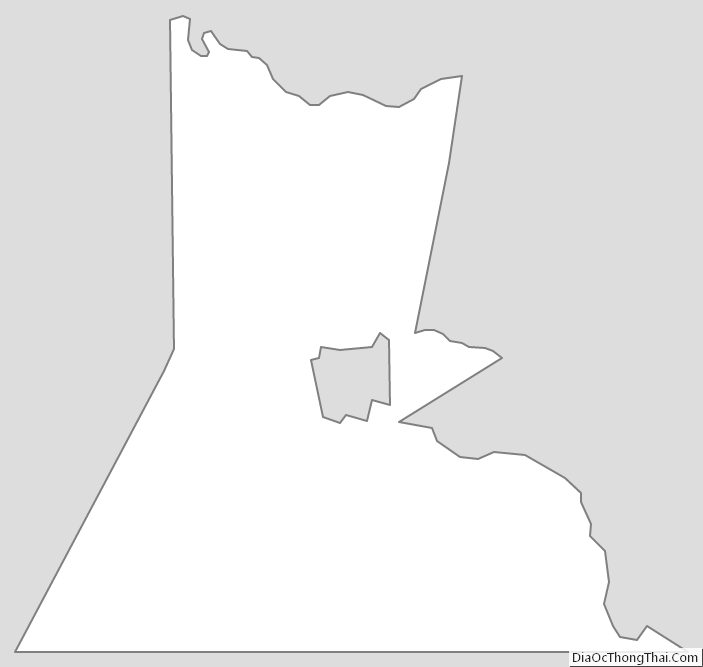
Greensville County Outline Map