| Name: | McDowell County |
|---|---|
| FIPS code: | 54-047 |
| State: | West Virginia |
| Founded: | February 28, 1858 |
| Named for: | James McDowell |
| Seat: | Welch |
| Largest city: | Welch |
| Total Area: | 535 sq mi (1,390 km²) |
| Land Area: | 533 sq mi (1,380 km²) |
| Total Population: | 19,111 |
| Population Density: | 36/sq mi (14/km²) |
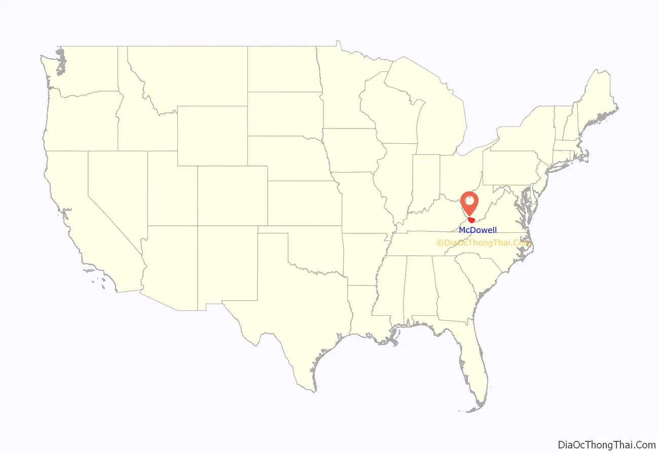
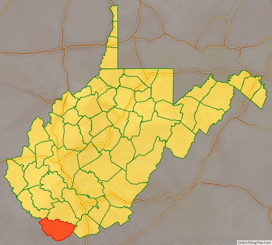
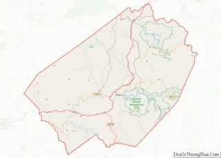
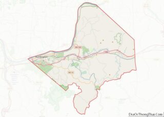
McDowell County location map. Where is McDowell County?
History
On February 20, 1858, McDowell County was formed from the northern portion of Tazewell County. In 1861, as the nation lurched toward civil war, delegates from McDowell County voted in favor of Virginia’s secession from the United States. The northwestern counties of the region were Union-affiliated and voted to secede from Virginia the following year, but McDowell, Greenbrier, Logan, Mercer, Monroe, Pocahontas, Webster, and Wyoming counties in the southern section all refused to participate. The status of these eight counties would be decided by the United States Supreme Court in the case of Virginia v. West Virginia.
McDowell was one of fifty former Virginia counties that were recognized as the state of West Virginia on June 20, 1863. The same year, the residents of McDowell County chose Perryville, now English, then the most populous town, as their new county seat. However, in 1866 the state legislature relocated the county seat to a farm near the mouth of Mill Creek. There it remained until 1874, when it returned to Perryville. The location of the county seat remained in dispute until 1892, when it moved to Welch.
In 1863, West Virginia’s counties were divided into civil townships, with the intention of encouraging local government. This proved impractical in the largely rural state, where population density was low. In 1872 the townships were converted into magisterial districts. McDowell County was divided into three districts: Big Creek, Elkhorn, and Sandy River. In the 1890s, Browns Creek District was formed from a portion of Elkhorn, and North Fork District was created from parts of Browns Creek and Elkhorn. A sixth district, Adkin, was created from part of Elkhorn District in the early 1900s. These districts remained stable until the 1980s, when Adkin, Elkhorn, and North Fork were consolidated into the district of North Elkin.
Referring to the unconventional demographics and political state of McDowell County, a local newspaper editor described the county as “the Free State of McDowell”, a description that has stuck in the popular imagination. The origin of this moniker is unknown. Tom Whittico, the founder and first editor of The McDowell Times–the first African-American paper in West Virginia–, said he used it because African Americans had greater electoral power, civil freedoms, and freedom from segregation in McDowell County than in other locations in the state.
McDowell county had the first World War One Memorial to honor black soldiers.
By the first half of the 20th century, McDowell County’s economy was dominated by coal mining. In 1950, it was the “leading coal producing county” in the United States. Sixteen percent of the county’s population in 1950 was employed in the coal mining sector. However, in the next few decades major breakthroughs in mechanization in the coal industry resulted in job declines. By 1960 the mining workforce had decreased from around 16,000 to around 7,000. Many people left because of the lack of jobs, but people with longstanding family ties were reluctant to do so.
While running for president, John F. Kennedy visited McDowell County and promised to send help if elected. His first executive order created the Food Stamps program and the first recipients of food stamps were in McDowell County. In May 1963, the increasing rate of poverty in McDowell County led President Kennedy to remark in a speech given in the city of Welch:
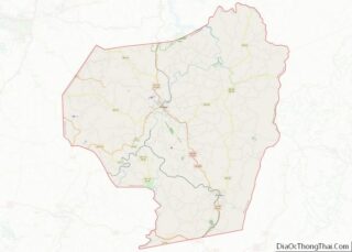
McDowell County Road Map
Geography
McDowell County, the southernmost county in West Virginia, is located at 37°22′N 81°39′W / 37.37°N 81.65°W / 37.37; -81.65Coordinates: 37°22′N 81°39′W / 37.37°N 81.65°W / 37.37; -81.65. It is bordered by Tazewell County, Virginia, to the south; Buchanan County, Virginia, to the west; Mingo County to the northwest; Wyoming County to the north; and Mercer County to the east. The county is located in the Cumberland Mountains a sub-region of the Appalachian Mountains. The highest elevation in the county is approximately 1,036 m (3,399 ft) on the northwest slope of Flat Top Mountain.
According to the United States Census Bureau, the county has a total area of 535 square miles (1,390 km), of which 533 square miles (1,380 km) is land and 1.4 square miles (3.6 km) (0.3%) is water. The county is roughly in the shape of a semi circle, with the border following the mountains around the county.
