Map of Ida County, Iowa
Ida County is a county located in the U.S. state of Iowa. As of the 2020 census the population was 7,005, making it the state’s eighth-least populous county. The county seat is Ida Grove. The county was authorized by the Iowa Legislature in January 1851 as a packet of projected counties in unorganized territory of ... Read more
Map of Ida County, Iowa
Map of Marion County, Iowa
Marion County is a county in the U.S. state of Iowa. As of the 2020 census, the population was 33,414. The county seat is Knoxville. It is named for Francis Marion, a brigadier general from South Carolina in the American Revolutionary War. Marion County overview: Name: Marion County FIPS code: 19-125 State: Iowa Founded: 1845 ... Read more
Map of Marion County, Iowa
Map of Poweshiek County, Iowa
Poweshiek County is a county in the southeastern part of the U.S. state of Iowa. As of the 2020 census, the population was 18,662. The county seat is Montezuma. The county is named for the chief of the Fox tribe who signed the treaty ending the Black Hawk War. It lies along Interstate 80 between ... Read more
Map of Poweshiek County, Iowa
Map of Winnebago County, Iowa
Winnebago County is a county in the U.S. state of Iowa. As of the 2020 census, the population was 10,679. The county seat is Forest City. The county was founded in 1847 and named after the Native American tribe. It is the location of the motor homes manufacturer Winnebago Industries. Winnebago County overview: Name: Winnebago ... Read more
Map of Winnebago County, Iowa
Map of Cheyenne County, Kansas
Cheyenne County (county code CN) is a county located in the northwest corner of the U.S. state of Kansas. As of the 2020 census, the county population was 2,616. Its county seat and most populous city is St. Francis. Cheyenne County overview: Name: Cheyenne County FIPS code: 20-023 State: Kansas Founded: March 20, 1873 Named ... Read more
Map of Cheyenne County, Kansas
Map of Finney County, Kansas
Finney County overview: Name: Finney County FIPS code: 20-055 State: Kansas Founded: February 22, 1883 Named for: David W. Finney Seat: Garden City Largest city: Garden City Total Area: 1,303 sq mi (3,370 km²) Land Area: 1,302 sq mi (3,370 km²) Total Population: 38,470 Population Density: 29.5/sq mi (11.4/km²) Time zone: UTC−6 (Central) Summer Time Zone (DST): UTC−5 (CDT) Website: FinneyCounty.org Finney ... Read more
Map of Finney County, Kansas
Map of Jefferson County, Kansas
Jefferson County (county code JF) is a county located in the U.S. state of Kansas. At the 2020 census, the county population was 18,368. Its county seat and most populous city is Oskaloosa. Jefferson County overview: Name: Jefferson County FIPS code: 20-087 State: Kansas Founded: August 25, 1855 Named for: Thomas Jefferson Seat: Oskaloosa Largest ... Read more
Map of Jefferson County, Kansas
Map of Meade County, Kansas
Meade County (standard abbreviation: ME) is a county located in the U.S. state of Kansas. As of the 2020 census, the county population was 4,055. The largest city and county seat is Meade. The county was created in 1873 and named in honor of General George G. Meade. Meade County overview: Name: Meade County FIPS ... Read more
Map of Meade County, Kansas
Map of Pratt County, Kansas
Pratt County (standard abbreviation: PR) is a county located in the U.S. state of Kansas. As of the 2020 census, the county population was 9,157. The largest city and county seat is Pratt. Pratt County overview: Name: Pratt County FIPS code: 20-151 State: Kansas Founded: February 26, 1867 Named for: Caleb S. Pratt Seat: Pratt ... Read more
Map of Pratt County, Kansas
Map of Smith County, Kansas
Smith County (standard abbreviation: SM) is a county located in the U.S. state of Kansas. As of the 2020 census, the population was 3,570. Its county seat is Smith Center. The county is named in memory of Maj. J. Nelson Smith, who was part of the 2nd Colorado Cavalry, killed in action at the Battle ... Read more
Map of Smith County, Kansas
Map of Anderson County, Kentucky
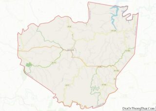
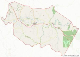
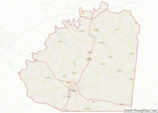
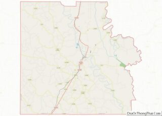
Anderson County is a county located in the U.S. state of Kentucky. As of the 2020 census, the population was 23,852. Its county seat is Lawrenceburg. The county was formed in 1827 and named for Richard Clough Anderson Jr., a Kentucky legislator, U.S. Congressman and Minister to Colombia. Anderson County is part of the Frankfort, ... Read more
Map of Anderson County, Kentucky
Map of Campbell County, Kentucky
Campbell County is a county located in the northern part of the U.S. state of Kentucky. As of the 2020 census, the population was 93,076. Its county seats are Alexandria and Newport. The county was formed on December 17, 1794, from sections of Scott, Harrison, and Mason Counties and was named for Colonel John Campbell ... Read more
Map of Campbell County, Kentucky