Spencer County is a county located in the U.S. state of Indiana. As of the 2010 census, the population was 20,952. The county seat is Rockport. Despite not being in the Owensboro Metropolitan Area, the entire riverfront of the city of Owensboro, Kentucky borders the southern tip of the county.
| Name: | Spencer County |
|---|---|
| FIPS code: | 18-147 |
| State: | Indiana |
| Founded: | January 10, 1818 |
| Named for: | Spier Spencer |
| Seat: | Rockport |
| Largest town: | Santa Claus |
| Total Area: | 401.43 sq mi (1,039.7 km²) |
| Land Area: | 396.74 sq mi (1,027.6 km²) |
| Population Density: | 53/sq mi (20.29/km²) |
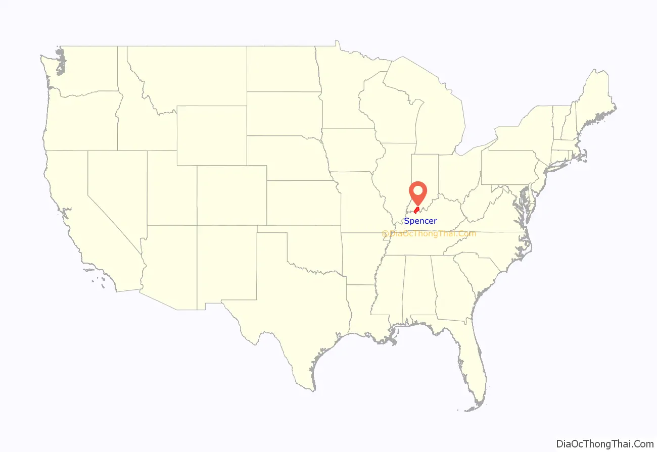
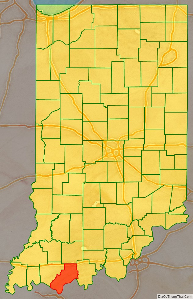
Spencer County location map. Where is Spencer County?
History
Spencer County was formed in 1818 from parts of Warrick County and Perry County. It was named for Captain Spier Spencer, killed at the Battle of Tippecanoe in 1811. He was also the namesake for Spencer, Indiana, the county seat of Owen County.
Abraham Lincoln lived in Spencer County from 1816 to 1830, between the ages of seven and twenty-one. Originally, the area his family settled in was in Perry County with Spencer County being formed almost two years later. His family moved to Illinois in 1830. The Lincoln Boyhood National Memorial is located at the site of the Lincoln family farm. In addition, the graves of his mother Nancy Lincoln and sister Sarah Lincoln Grigsby are located in Spencer County.
On December 16, 1900, two African-American men, Bud Rowlands and Jim Henderson, were lynched by the county courthouse in Rockport after being arrested as suspects in the brutal robbery and killing of a white barber at 2 am the night before. A mob estimated at 1,500 broke open the jail and took them out, hanging them from a tree by the courthouse, and shooting their bodies numerous times. John Rolla was accused by Rowlands as a suspect and also lynched. This was the second-highest number of lynchings in the state, though it pales in comparison to lynchings in Southern states.
The current Spencer County courthouse was built in 1921. It is the fifth courthouse to serve the county.
County attractions include the town of Santa Claus, Holiday World & Splashin’ Safari, and Santa’s Candy Castle.
Saint Meinrad Archabbey is located at the northeastern corner of Spencer County.
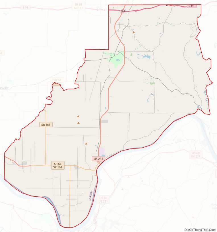
Spencer County Road Map
Geography
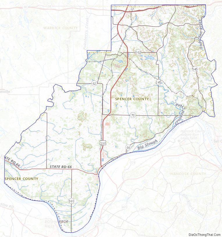
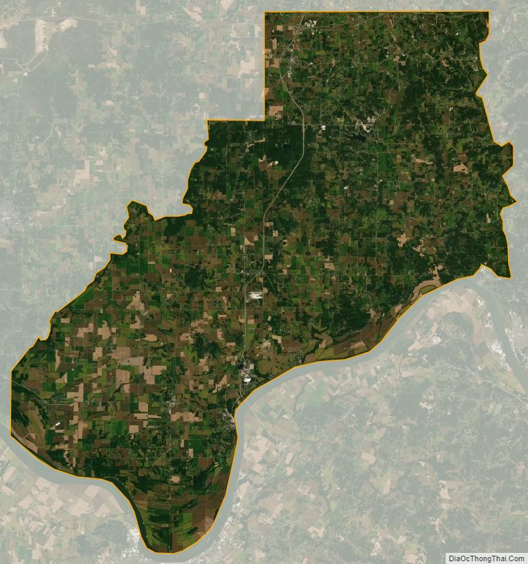
According to the 2010 census, the county has a total area of 401.43 square miles (1,039.7 km), of which 396.74 square miles (1,027.6 km) (or 98.83%) is land and 4.68 square miles (12.1 km) (or 1.17%) is water.
Cities and towns
ZIP Codes are in parentheses.
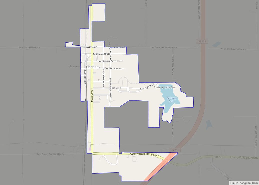
- Chrisney (47611)
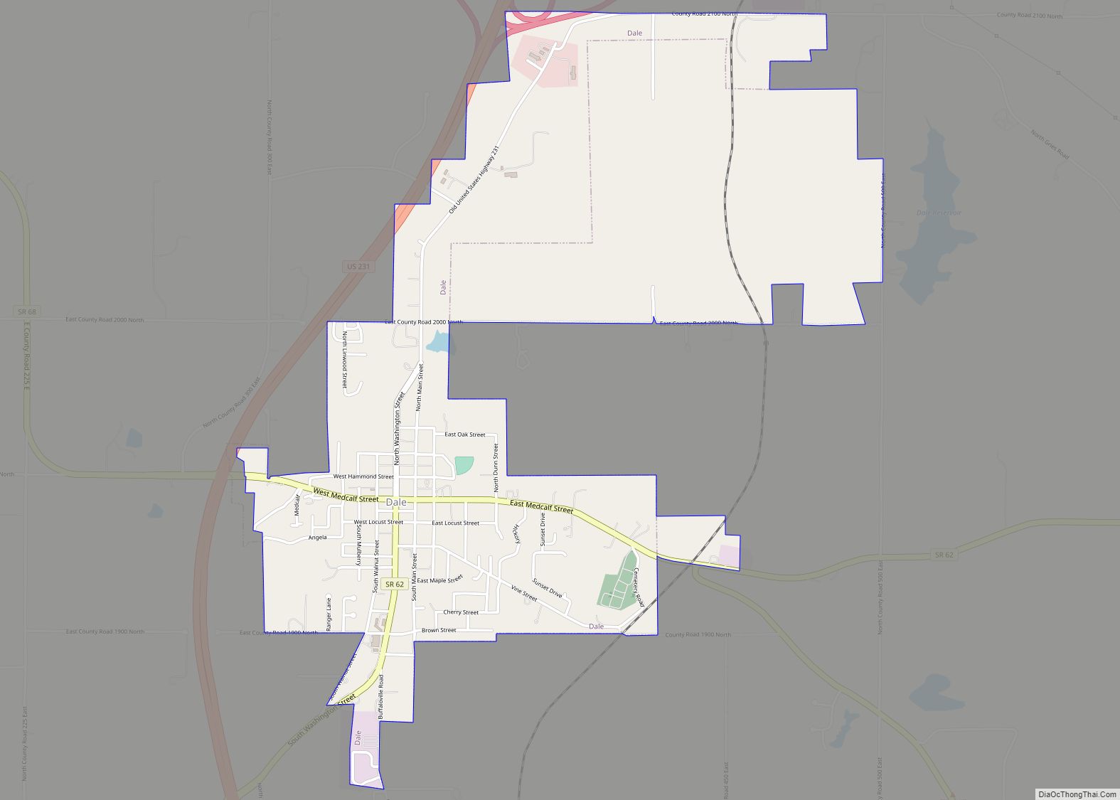
- Dale (47523)
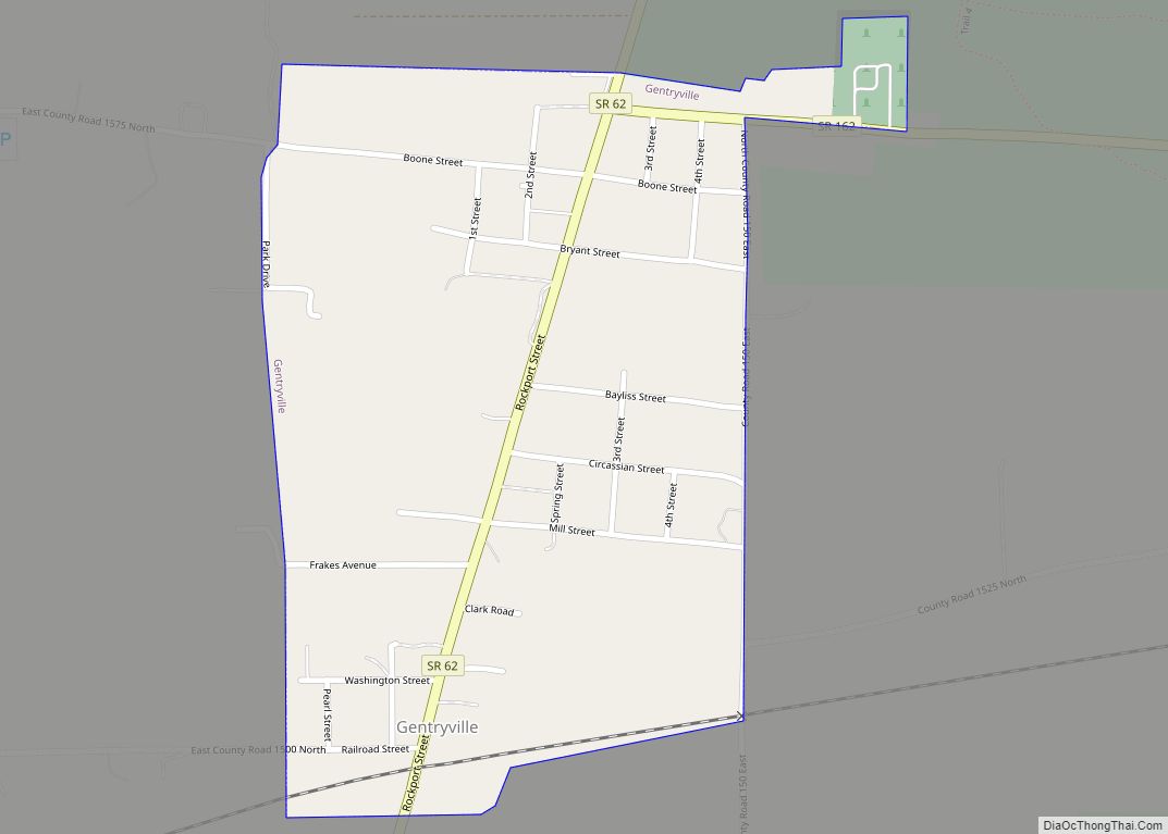
- Gentryville (47537)
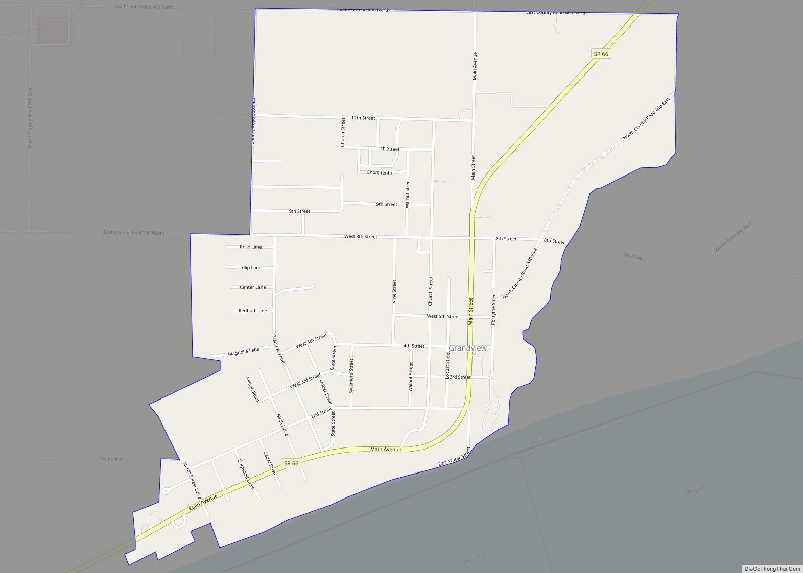
- Grandview (47615)
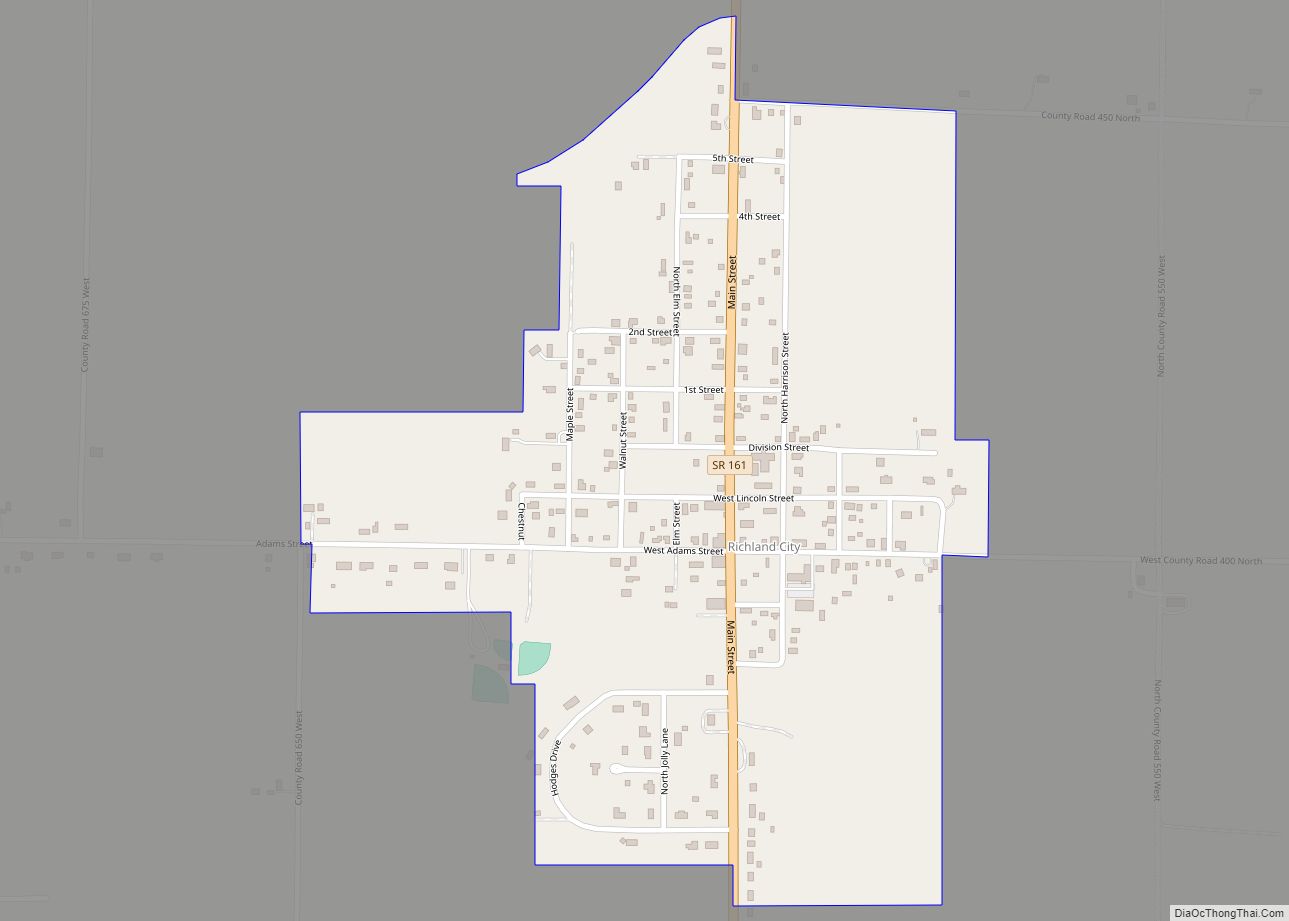
- Richland City (47634)
- Rockport (47635)
- Santa Claus (47579)
Census-designated place
- St. Meinrad (47577)
Other unincorporated places
- Africa
- Bloomfield
- Buffaloville
- Centerville
- Clay City
- Enterprise
- Eureka
- Evanston (47531)
- Fulda (47531)
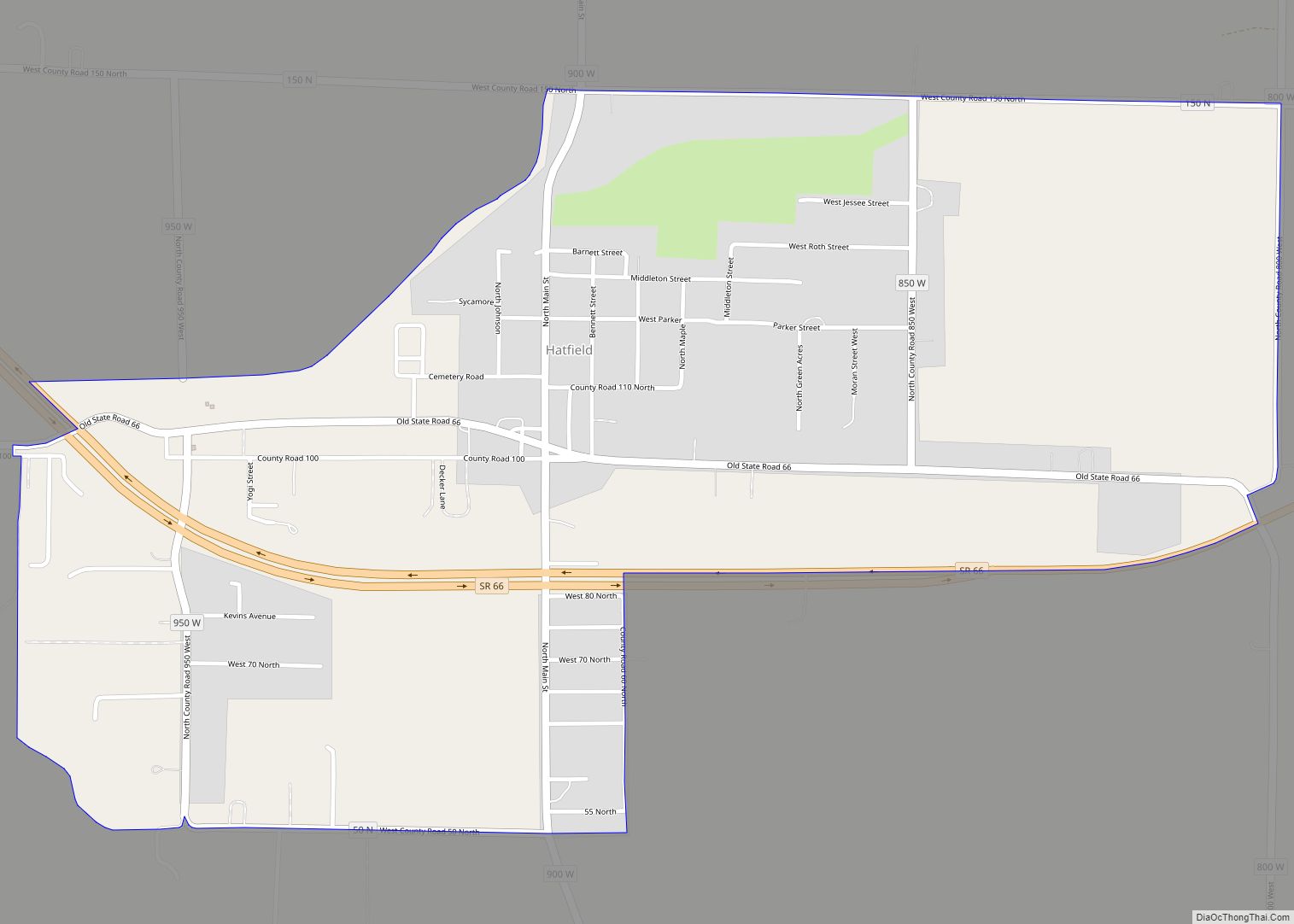
- Hatfield (47617)
- Huffman
- Kennedy
- Kercheval
- Lamar (47550)
- Liberal
- Lincoln City (47552)
- Mariah Hill (47556)
- Maxville
- Midway
- New Boston
- Newtonville
- Patronville
- Pigeon
- Pueblo
- Pyeattville
- Reo
- Ritchie
- Rock Hill
- Sand Ridge
- Santa Fe
- Schley
- Silverdale
Townships
- Carter
- Clay
- Grass
- Hammond
- Harrison
- Huff
- Jackson
- Luce
- Ohio
Adjacent counties
- Dubois County (north/ET Boundary)
- Daviess County, Kentucky (south)
- Perry County (east)
- Hancock County, Kentucky (southeast)
- Warrick County (west)
Major highways
- Interstate 64
- U.S. Route 231
- Indiana State Road 62
- Indiana State Road 66
- Indiana State Road 68
- Indiana State Road 70
- Indiana State Road 161
- Indiana State Road 162
- Indiana State Road 245
- Indiana State Road 545
National protected area
- Lincoln Boyhood National Memorial
Spencer County Topographic Map
Spencer County Satellite Map
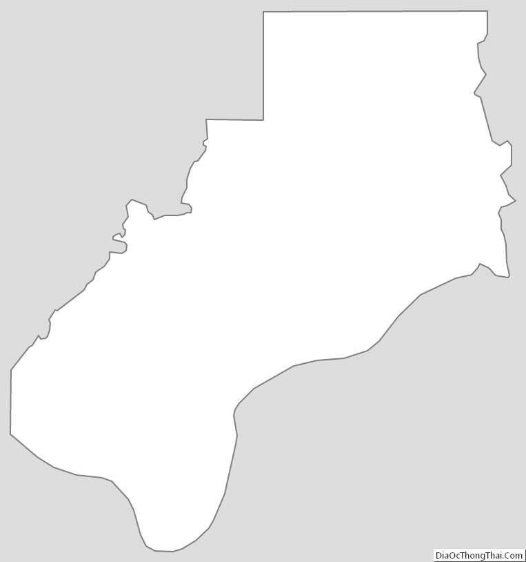
Spencer County Outline Map