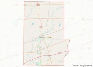
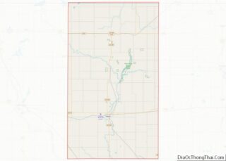
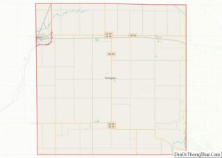
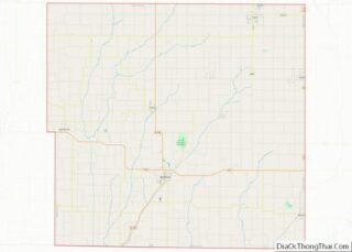
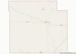
Putnam County is a county located in the U.S. state of Indiana. As of the 2010 United States Census, the population was 37,963. The county seat is Greencastle. The county was named for Israel Putnam, a hero in the French and Indian War and a general in the American Revolutionary War. The county was created ... Read more
Map of US Counties
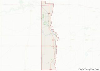
Vermillion County lies in the western part of the U.S. state of Indiana between the Illinois border and the Wabash River. As of the 2010 census, the population was 16,212. The county seat is Newport. It was officially established in 1824 and was the fiftieth Indiana county created. Vermillion County is included in the Terre ... Read more
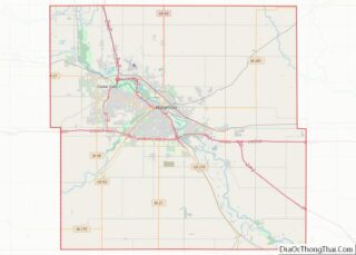
Black Hawk County is a county in the northeastern part of U.S. state of Iowa. As of the 2020 census, the population was 131,144, making it Iowa’s fifth-most populous county. The county seat is Waterloo. Black Hawk County is part of the Waterloo-Cedar Falls, IA Metropolitan Statistical Area. Black Hawk County overview: Name: Black Hawk ... Read more
Clinton County is a county located in the U.S. state of Iowa. As of the 2020 census, the population was 46,460. Its county seat is Clinton. Its name is in honor of the seventh Governor of New York State, DeWitt Clinton. Clinton County comprises the Clinton, IA Micropolitan Statistical Area, which is also included in ... Read more
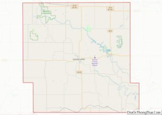
Guthrie County is a county located in the U.S. state of Iowa. As of the 2020 census, the population was 10,623. The county seat is Guthrie Center. The county was formed on January 15, 1851, and named after Captain Edwin B. Guthrie, who died in the Mexican–American War. Guthrie County is one of the six ... Read more
Kossuth County (/kəˈsuːθ/) is a county in the U.S. state of Iowa. As of the 2020 census, the population was 14,828. The county seat is Algona. Kossuth County overview: Name: Kossuth County FIPS code: 19-109 State: Iowa Founded: January 15, 1851 Named for: Lajos Kossuth Seat: Algona Largest city: Algona Total Area: 974 sq mi (2,520 km²) Land ... Read more
O’Brien County is a county in the U.S. state of Iowa. As of the 2020 United States Census, the population was 14,182. The county seat is Primghar. O’Brien County overview: Name: O’Brien County FIPS code: 19-141 State: Iowa Founded: 15 January 1851 Named for: William Smith O’Brien Seat: Primghar Largest city: Sheldon Total Area: 573 sq mi ... Read more
Taylor County is a county located in the U.S. state of Iowa. As of the 2020 census, the population was 5,896, making it the fourth-least populous county in Iowa. The county seat is Bedford. The county was formed in 1847 and named after General and President Zachary Taylor. Taylor County overview: Name: Taylor County FIPS ... Read more
Barber County (county code BA) is a county located in the south-central portion of the U.S. state of Kansas. As of the 2020 census, the county population was 4,228. Its county seat and most populous city is Medicine Lodge. It was named for Thomas Barber, an abolitionist who was killed in Douglas County in 1855 ... Read more
Decatur County (county code DC) is a county located in Northwest Kansas. As of the 2020 census, the county population was 2,764. Its county seat and most populous city is Oberlin. The county is named in honor of Commodore Stephen Decatur, Jr. Decatur County overview: Name: Decatur County FIPS code: 20-039 State: Kansas Founded: March ... Read more
Greeley County (county code: GL) is a county located in western Kansas, in the Central United States. Its county seat and largest city is Tribune. As of the 2020 census, the population was 1,284, the least populous county in Kansas. As of 2018, it is tied with Wallace County as the least densely populated county ... Read more
Leavenworth County (county code LV) is located in the U.S. state of Kansas and is part of the Kansas City metropolitan area. As of the 2020 census, the county population was 81,881. Its county seat and most populous city is Leavenworth. Leavenworth County overview: Name: Leavenworth County FIPS code: 20-103 State: Kansas Founded: August 25, ... Read more
