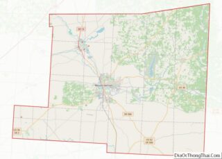
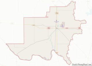
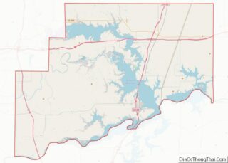
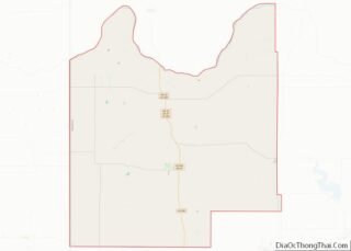
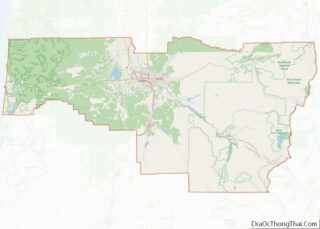
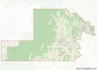
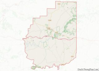
Map of Bartholomew County, Indiana
Bartholomew County is a county located in the U.S. state of Indiana. The population was 82,208 at the 2020 census. The county seat is Columbus. The county was determined by the U.S. Census Bureau to be home to the mean center of U.S. population in 1900. Bartholomew County makes up the Columbus, Indiana Metropolitan Statistical ... Read more
Map of Bartholomew County, Indiana
Map of Dubois County, Indiana
Dubois County (/duːˈbɔɪz/ doo-BOYZ) is a county located in the U.S. state of Indiana. As of 2020, the population was 43,637. The county seat is Jasper. Dubois County is part of the Jasper Micropolitan Statistical Area. Dubois County overview: Name: Dubois County FIPS code: 18-037 State: Indiana Founded: December 20, 1818 Named for: Toussaint Dubois ... Read more
Map of Dubois County, Indiana
Map of Huntington County, Indiana
Huntington County is a county in the U.S. state of Indiana. According to the 2020 United States Census, the population was 36,662. The county seat (and only city) is Huntington. Huntington County comprises the Huntington, Indiana micropolitan statistical area and is included in the Fort Wayne–Huntington–Auburn Combined Statistical Area. Huntington County overview: Name: Huntington County ... Read more
Map of Huntington County, Indiana
Map of Marshall County, Indiana
Marshall County is a county in the U.S. state of Indiana. Census 2020 recorded the population at 46,095. The county seat (and only city) is Plymouth. Marshall County overview: Name: Marshall County FIPS code: 18-099 State: Indiana Founded: 7 February 1835 (authorized)1836 (organized) Named for: John Marshall Seat: Plymouth Largest city: Plymouth Total Area: 449.74 sq mi ... Read more
Map of Marshall County, Indiana
Map of Pulaski County, Indiana
Pulaski County (/pʊˈlæskaɪ/ pə-ˈlæ-ski) is a county located in the U.S. state of Indiana. According to the 2010 U.S. census, the population was 13,402. The county seat is Winamac. Pulaski County overview: Name: Pulaski County FIPS code: 18-131 State: Indiana Named for: Count Casimir Pulaski Largest town: Winamac(population and total area) Total Area: 434.53 sq mi (1,125.4 km²) ... Read more
Map of Pulaski County, Indiana
Map of Vanderburgh County, Indiana
Vanderburgh County is a county in the U.S. state of Indiana. As of 2010, the population was 179,703. The county seat is in Evansville. While Vanderburgh County was the seventh-largest county in 2010 population with 179,703 people, it is also the eighth-smallest county in area in Indiana and the smallest in southwestern Indiana, covering only ... Read more
Map of Vanderburgh County, Indiana
Map of Benton County, Iowa
Benton County is a county in the U.S. state of Iowa. As of the 2020 census, the population was 25,575. Its county seat and largest city is Vinton. The county is named for Thomas Hart Benton, a U.S. Senator from Missouri. Benton County is part of the Cedar Rapids, IA Metropolitan Statistical Area. Benton County ... Read more
Map of Benton County, Iowa
Map of Clayton County, Iowa
Clayton County is a county located in the U.S. state of Iowa. As of the 2020 census, the population was 17,043. Its county seat is Elkader. The county was established in 1837 and was named in honor of John M. Clayton, United States Senator from Delaware and later Secretary of State under President Zachary Taylor. ... Read more
Map of Clayton County, Iowa
Map of Grundy County, Iowa
Grundy County is a county located in the U.S. state of Iowa. At the 2020 census, the population was 12,329. The county seat is Grundy Center. The county is named for Felix Grundy, former U.S. Attorney General. Grundy County is included in the Waterloo–Cedar Falls, IA Metropolitan Statistical Area. Grundy County overview: Name: Grundy County ... Read more
Map of Grundy County, Iowa
Map of Keokuk County, Iowa
Keokuk County is a county located in the U.S. state of Iowa. As of the 2020 United States Census, the population was 10,033. The county seat is Sigourney. Keokuk County overview: Name: Keokuk County FIPS code: 19-107 State: Iowa Founded: 17 February 1843 Named for: Keokuk (Sauk leader) Seat: Sigourney Largest city: Sigourney Total Area: ... Read more
Map of Keokuk County, Iowa
Map of Muscatine County, Iowa
Muscatine County is a county located in the U.S. state of Iowa. As of the 2020 census, the population was 43,235. The county seat is Muscatine. The southeastern border is formed by the Mississippi River. Muscatine County comprises the Muscatine, IA Micropolitan Statistical Area, which is included in the Davenport–Moline, IA-IL Combined Statistical Area. Muscatine ... Read more
Map of Muscatine County, Iowa
Map of Tama County, Iowa
Tama County overview: Name: Tama County FIPS code: 19-171 State: Iowa Founded: 1843 Named for: Taimah Seat: Toledo Largest city: Tama Total Area: 722 sq mi (1,870 km²) Land Area: 721 sq mi (1,870 km²) Total Population: 17,135 Population Density: 24/sq mi (9.2/km²) Time zone: UTC−6 (Central) Summer Time Zone (DST): UTC−5 (CDT) Website: www.tamacounty.iowa.gov Tama County location map. Where is Tama ... Read more
Map of Tama County, Iowa