Winston County is a county of the U.S. state of Alabama. As of the 2020 census, the population was 23,540. Its county seat is Double Springs. Known as Hancock County before 1858, the county is named in honor of John A. Winston, the fifteenth Governor of Alabama.
| Name: | Winston County |
|---|---|
| FIPS code: | 01-133 |
| State: | Alabama |
| Founded: | February 12, 1850 |
| Named for: | John A. Winston |
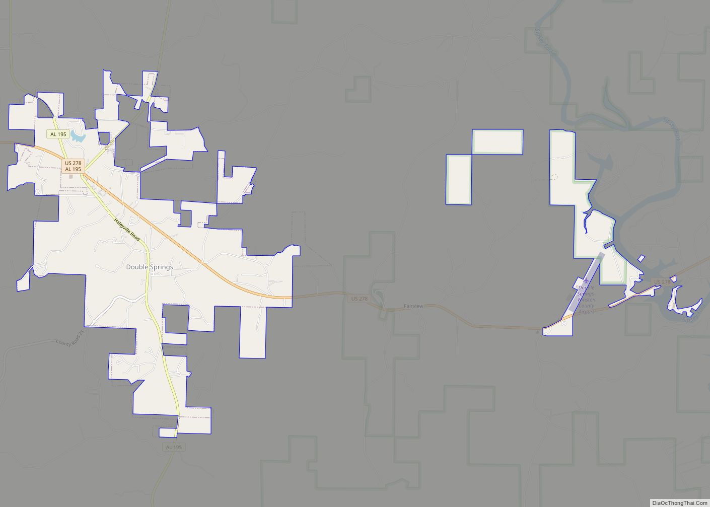
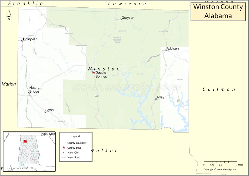
| Seat: | Double Springs |
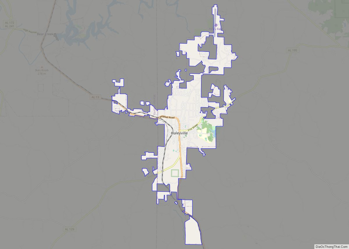
| Largest city: | Haleyville |
| Total Area: | 632 sq mi (1,640 km²) |
| Land Area: | 613 sq mi (1,590 km²) |
| Total Population: | 23,540 |
| Population Density: | 37/sq mi (14/km²) |
| Time zone: | UTC−6 (Central) |
| Summer Time Zone (DST): | UTC−5 (CDT) |
| Website: | www.winstoncountyalabama.org |
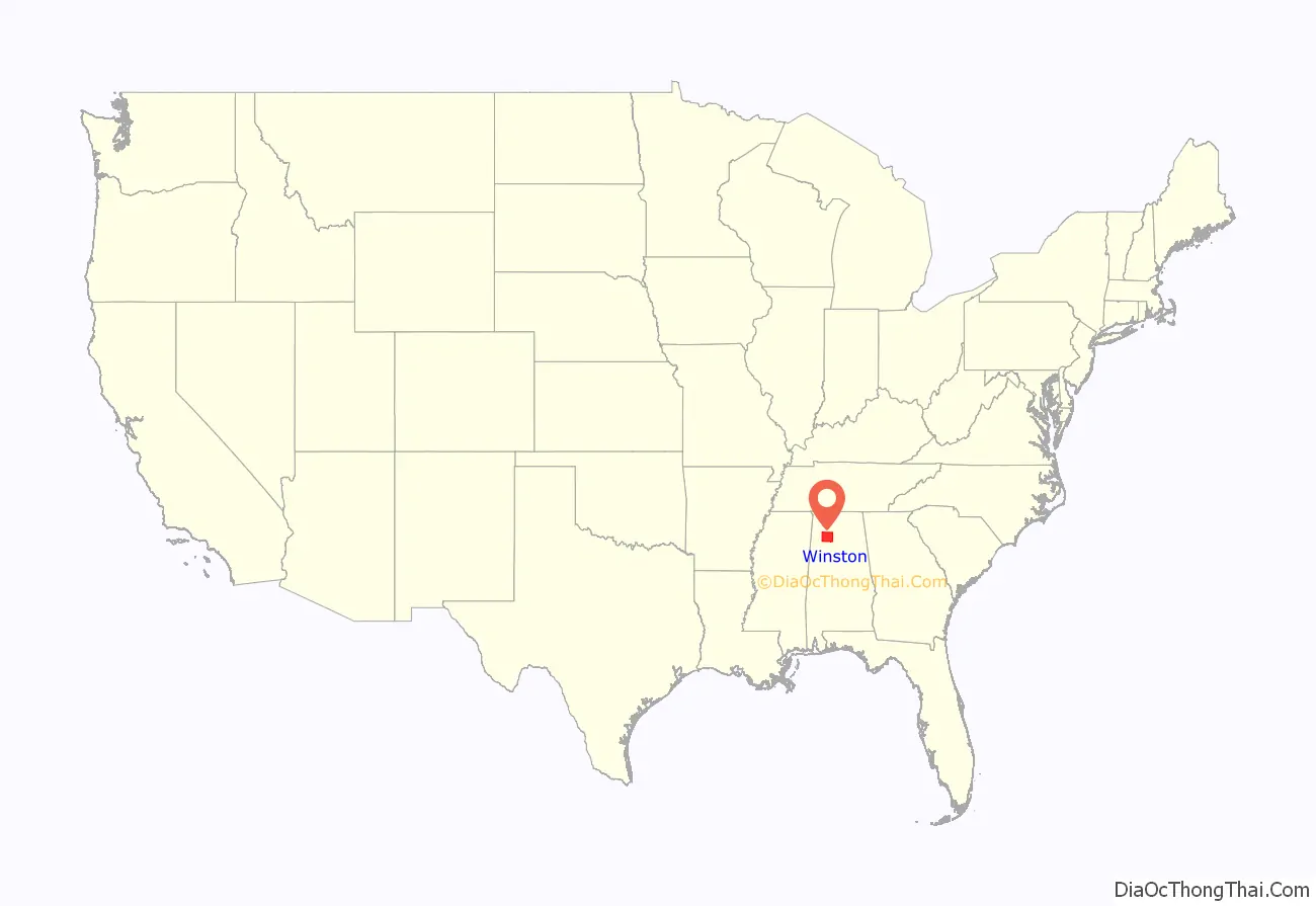
Winston County location map. Where is Winston County?
History
Winston County was established under the name Hancock County on February 12, 1850, from territory that was formerly part of Walker County (a county directly to the south of Winston County). It was originally named for John Hancock, Governor of Massachusetts and famous signer of the American Declaration of Independence, with its county seat at Houston. On January 22, 1858, the county was renamed Winston County to honor Alabama Gov. John A. Winston.
During the American Civil War, Winston County gained attention for its opposition to secession, a sentiment so strong that the county is sometimes referred to as the Free State of Winston. This area had few slaves and saw little benefit to secession. The county today plays on its reputation as the “Free State of Winston” to attract tourists. The county’s opposition to the Confederacy is briefly mentioned in the novels To Kill a Mockingbird and Addie Pray.
In 1883, the county seat was moved from Houston to Double Springs to be near the center of the county, since Cullman County was created from the eastern part of Winston County.
The civil-rights judge Frank Minis Johnson of the U.S. Court of Appeals for the Eleventh Circuit was born in Delmar, in Winston County.
National Register of Historic Places
Winston County has four sites listed on the National Register of Historic Places: Archeological Site No. 1WI50, Feldman’s Department Store, the Houston Jail, and the Winston County Courthouse.
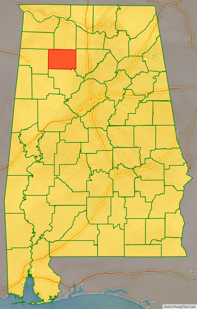
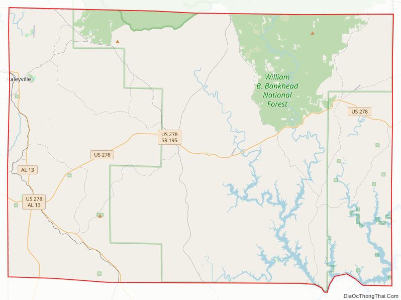
Winston County Road Map
Geography
According to the United States Census Bureau, the county has a total area of 631 square miles (1,630 km), of which 613 square miles (1,590 km) is land and 1.9 square miles (4.9 km) (3.0%) is water.
Adjacent counties
- Lawrence County (north)
- Cullman County (east)
- Walker County (south)
- Marion County (west)
- Franklin County (northwest)
National protected area
- William B. Bankhead National Forest (part)
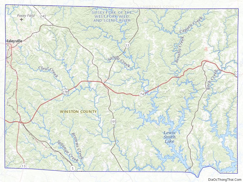
Winston County Topographic Map
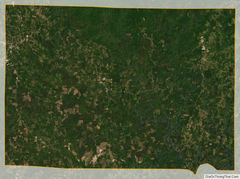
Winston County Satellite Map
Winston County Outline Map