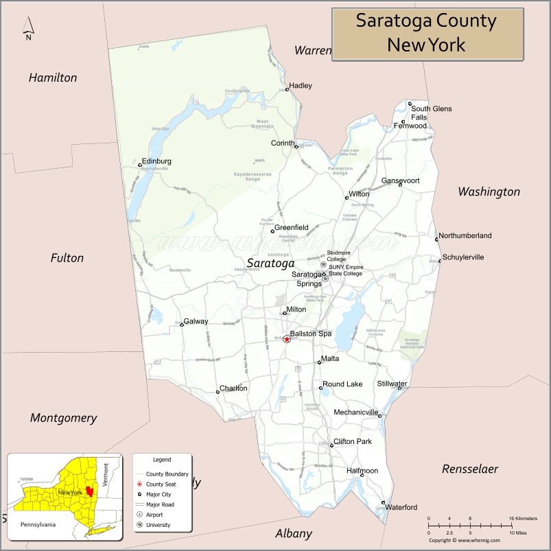
| Name: | Saratoga County |
|---|---|
| FIPS code: | 36-091 |
| State: | New York |
| Founded: | 1791 |
| Named for: | Iroquois sah-rah-ka, “the hill beside the river” |
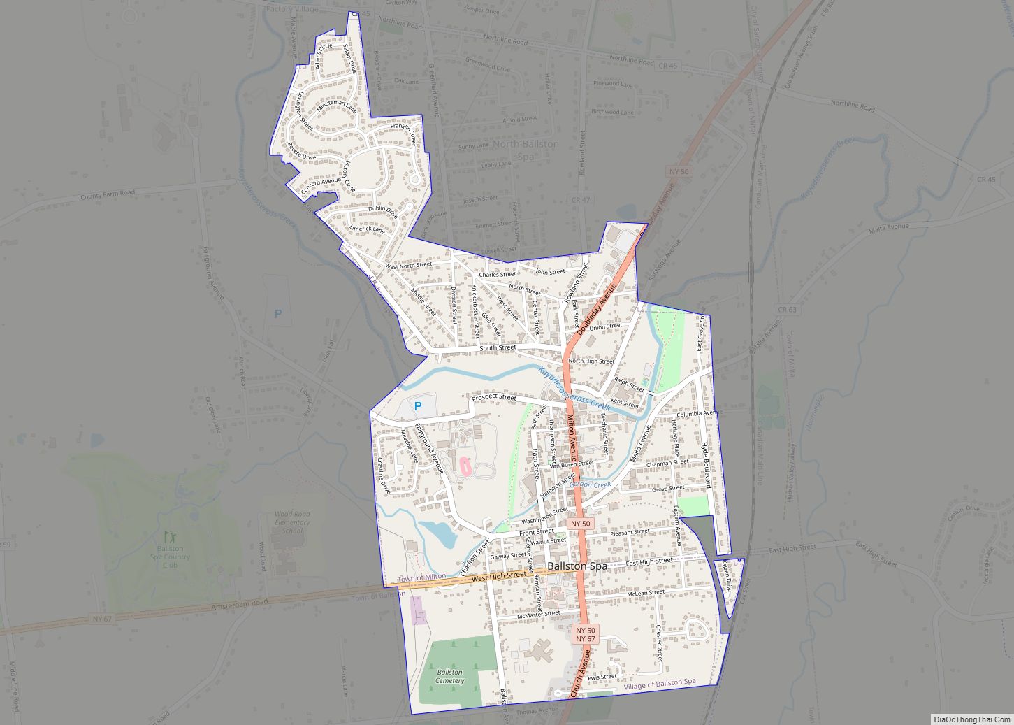
| Seat: | Ballston Spa |
| Largest city: | Saratoga Springs |
| Total Area: | 844 sq mi (2,190 km²) |
| Land Area: | 810 sq mi (2,100 km²) |
| Total Population: | 235,509 |
| Population Density: | 290.8/sq mi (112.3/km²) |
| Time zone: | UTC−5 (Eastern) |
| Summer Time Zone (DST): | UTC−4 (EDT) |
| Website: | www.saratogacountyny.gov |
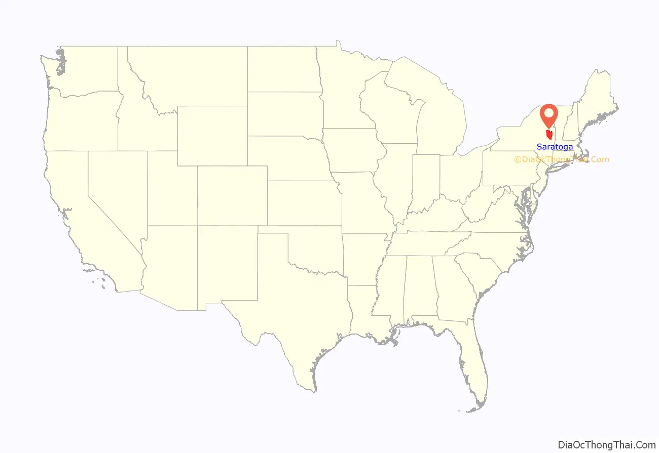
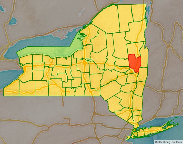
Saratoga County location map. Where is Saratoga County?
History
When counties were established in the Province of New York in 1683, the present Saratoga County was part of Albany County. This was an enormous county, including the northern part of New York, as well as all of the present state of Vermont and, in theory, extending westward to the Pacific Ocean. This large county was progressively reduced in size by the separation of several counties until 1791, when Saratoga County and Rensselaer County were split off from Albany County. The Battles of Saratoga (September 19 and October 7, 1777) marked the climax of the Saratoga campaign, giving a decisive victory to the Americans over the British in the American Revolutionary War, which convinced France that the Thirteen Colonies could win the war. The government of Louis XVI began lending military and financial aid to the American Patriot cause.
During the 19th century, Saratoga County was an important industrial center. Its location 30 miles north of Albany on the Delaware and Hudson Railway, as well as its proximity to water power from the Hudson River and the Kayaderosseras Creek, led to rapid industrial development beginning in the early 19th century. Some of the most important industrial employers were paper mills, tanneries, foundries, and textile mills.
Since the construction of the Adirondack Northway in the 1960s, Saratoga County has consistently been the fastest-growing county in the Capital District and indeed, in Upstate New York, and one of the fastest-growing in the Northeastern United States. The county has historically maintained a low county tax rate; according to its official website, Saratoga County levies one of the lowest county tax rates in New York.
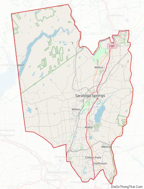
Saratoga County Road Map
Geography
Saratoga County is situated in the eastern portion of New York State, north of the state capital city of Albany, northwest of Troy, and east of Utica. According to the U.S. Census Bureau, the county has a total area of 844 square miles (2,190 km), of which 810 square miles (2,100 km) are land and 34 square miles (88 km) (4.0%) are covered by water. The Hudson River forms the eastern border of the county, while the Mohawk River demarcates its southern border. The highest elevation in Saratoga County is at the peak of Tennet Mountain in the Adirondack Mountains, at 2,759 ft (841 m), while the lowest elevation is 69 ft (21 m), at the waterfront of the Village of Waterford, at the confluence of the Mohawk and Hudson Rivers.
Adjacent counties
Saratoga County is bordered by eight counties. Listed clockwise, they are:
- Warren County – north
- Washington County – east
- Rensselaer County – southeast
- Albany County – south
- Schenectady County – southwest
- Montgomery County – southwest
- Fulton County – west
- Hamilton County – northwest
Saratoga County Topographic Map
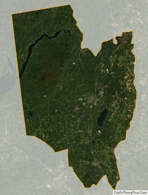
Saratoga County Satellite Map
Saratoga County Outline Map