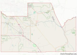
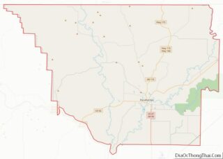
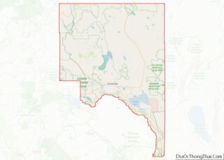
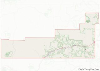
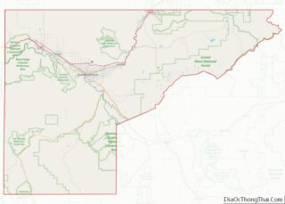
Map of Marshall County, Mississippi
Marshall County is a county located on the north central border of the U.S. state of Mississippi. As of the 2020 census, the population was 33,752. Its county seat is Holly Springs. The county is named for Chief Justice of the United States John Marshall, who presided in the early nineteenth century. Marshall County is ... Read more
Map of Marshall County, Mississippi
Map of Sharkey County, Mississippi
Sharkey County is a county located in the U.S. state of Mississippi. Part of the western border is formed by the Yazoo River. According to the 2020 census, the population was 3,800, making it the second-least populous county in Mississippi. Its county seat is Rolling Fork. The county is named after William L. Sharkey, the ... Read more
Map of Sharkey County, Mississippi
Map of Wilkinson County, Mississippi
Wilkinson County is a county located in the southwest corner of the U.S. state of Mississippi. As of 2020, its population was 8,587. Its county seat is Woodville. Bordered by the Mississippi River on the west, the county is named for James Wilkinson, a Revolutionary War military leader and first governor of the Louisiana Territory ... Read more
Map of Wilkinson County, Mississippi
Map of Caldwell County, Missouri
Caldwell County is a county located in Missouri, United States. As of the 2020 census, the county’s population was 9,424. It is part of the Kansas City metropolitan area. Its county seat is Kingston. The county was organized December 29, 1836 and named by Alexander Doniphan to honor John Caldwell, who participated in George Rogers ... Read more
Map of Caldwell County, Missouri
Map of Dade County, Missouri
Dade County is a county located in the southwest part of the U.S. state of Missouri. As of the 2020 census, the population was 7,569. Its county seat is Greenfield. The county was organized in 1841 and named after Major Francis L. Dade of Virginia, who was killed in the Second Seminole War in 1835. ... Read more
Map of Dade County, Missouri
Map of Howard County, Missouri
Howard County is located in the U.S. state of Missouri, with its southern border formed by the Missouri River. As of the 2020 census, the population was 10,151. Its county seat is Fayette. The county was organized January 23, 1816, and named for Benjamin Howard, the first Governor of the Missouri Territory. Settled originally by ... Read more
Map of Howard County, Missouri
Map of Madison County, Missouri
Madison County is a county located in the Lead Belt region of the U.S. state of Missouri. As of the 2020 census, the population was 12,626. Its county seat and largest city is Fredericktown. The county was officially organized on December 14, 1818, and was named after President James Madison. Mining has been a key ... Read more
Map of Madison County, Missouri
Map of Ozark County, Missouri
Ozark County is a county located in the southern portion of the U.S. state of Missouri. As of the 2020 census, the population was 8,553. The largest city and county seat is Gainesville. The county was organized as Ozark County, named after the Ozark Mountains, on January 29, 1841. It was renamed Decatur County, after ... Read more
Map of Ozark County, Missouri
Map of St. Clair County, Missouri
St. Clair County is a county located in the western portion of the U.S. state of Missouri. As of the 2020 census, the population was 9,284. Its county seat is Osceola. The largest city is Appleton City. The county was organized in 1841 and named after General Arthur St. Clair, Governor of the Northwest Territory. ... Read more
Map of St. Clair County, Missouri
Map of Warren County, Missouri
Warren County is a county located in the eastern portion of the U.S. state of Missouri. As of the 2010 census, the population was 32,513. The county is located on the north side of the Missouri River. Its county seat is Warrenton. The county was established on January 5, 1833 and was named for General ... Read more
Map of Warren County, Missouri
Map of Dawson County, Montana
Dawson County is a county located in the U.S. state of Montana. As of the 2020 census, the population was 8,940. Its county seat is Glendive. Dawson County overview: Name: Dawson County FIPS code: 30-021 State: Montana Founded: January 15, 1869 Seat: Glendive Largest city: Glendive Total Area: 2,383 sq mi (6,170 km²) Land Area: 2,372 sq mi (6,140 km²) Total ... Read more
Map of Dawson County, Montana
Map of Lincoln County, Montana
Lincoln County is a county located in the U.S. state of Montana. As of the 2020 census, the population was 19,677. Its county seat is Libby. The county was founded in 1909 and named for President Abraham Lincoln. The county lies on Montana’s north border and thus shares the US-Canadian border with the Canadian province ... Read more
Map of Lincoln County, Montana