Cavalier County is a county in the U.S. state of North Dakota. It is south of the Canada–US border with Manitoba. As of the 2020 census, the population was 3,704. Its county seat is Langdon. The city of Cavalier is in nearby Pembina County.
| Name: | Cavalier County |
|---|---|
| FIPS code: | 38-019 |
| State: | North Dakota |
| Founded: | 1873 |
| Named for: | Fur trapper and explorer Charles Cavalier |
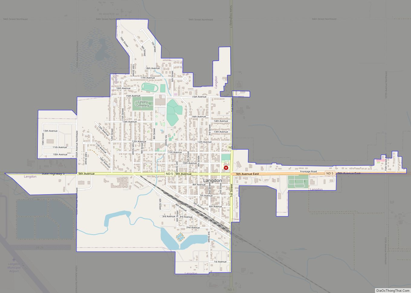
| Seat: | Langdon |
| Largest city: | Langdon |
| Total Area: | 1,510 sq mi (3,900 km²) |
| Land Area: | 1,489 sq mi (3,860 km²) |
| Total Population: | 3,704 |
| Population Density: | 2.5/sq mi (0.95/km²) |
| Time zone: | UTC−6 (Central) |
| Summer Time Zone (DST): | UTC−5 (CDT) |
| Website: | cavaliercounty.us |
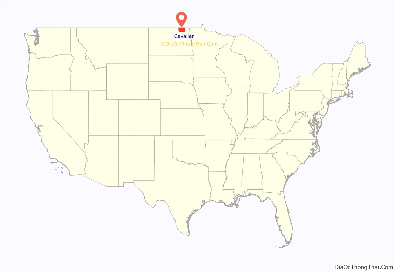
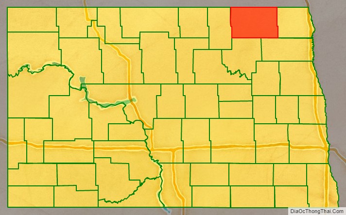
Cavalier County location map. Where is Cavalier County?
History
The Dakota Territory legislature created Cavalier County on January 4, 1873 with territory annexed from Pembina County, but did not organize the county government structure at that time. It was named for Charles Cavileer (or Cavalier) of Pembina, an early settler.
The county organization was effected on July 8, 1884. Its boundaries were altered in 1883 and in 1887.
After petitioning the Territorial Governor for permission to organize the county, Patrick McHugh, W. Hudson Matthews, and L.C. Noracong met on July 8, 1884. On July 26 the new county officials met for the second time and chose Noracong as Chairman of the Board with William H. Doyle and Matthews as Commissioners. The first Register of Deeds and County Clerk was McHugh. W.J. Mooney became the first Judge of Probate, Charles B. Nelson was the first Cavalier County Supt. of Schools, and Clarence Hawkes the first Sheriff. Cavalier took its current form in 1887 after the Territorial Legislature authorized an increase in size by taking a portion from Pembina County. The expansion added 15 new townships to the county.
A site for a county seat was selected at the second meeting; it was named Langdon, for Robert Bruce Langdon of Minnesota, an official with the Great Northern Railroad. Langdon never visited the town, but reportedly donated a bell for the local school.
The first court house was built in 1884 at a cost of $360.00. It was used briefly and then abandoned for warmer and more centrally located quarters in a downtown bank. A large brick court house was built in 1895 on the present site at a contract cost of $9,099.00. This building served county officials until the current court house was constructed in 1957–58.
Cavalier County Historical Society
Established after 1969 – The Holy Trinity Church at Dresden, ND became the cornerstone of the County museum. It now houses local historic artifacts and landmarks.
The Holy Trinity Church at Dresden replaced two previous wooden structures that both burned. The present structure was erected in 1936, built out of fieldstone collected by the local parishioners. An architect from Minneapolis, Fabian Redmond, designed the building. A stonemason from Rugby ND, Edroy Patterson, directed volunteer workers.
Assisting in the building of the church were Andrew Bachman-head carpenter, Alphonse Hiltner, Stanley Koehmstedt and William Geisen.
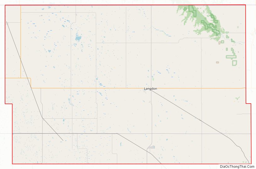
Cavalier County Road Map
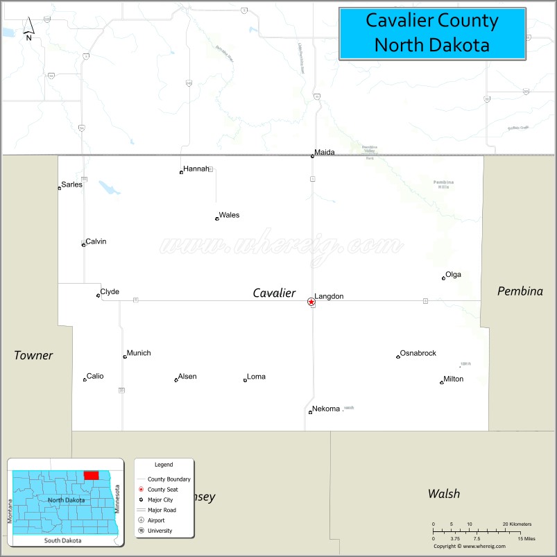
Geography
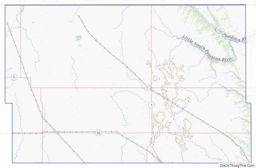
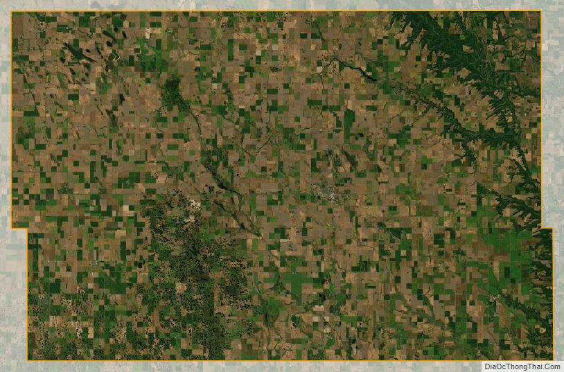
Cavalier County is located on the north edge of North Dakota. Its north boundary line abuts the south boundary line of Canada. The Pembina River enters from Manitoba and flows southeasterly through the eastern part of the county, exiting near the SE corner. The county terrain consists of rolling hills, dotted with lakes and ponds in the western part. The terrain slopes to the east, with its highest point near the midpoint of the south boundary line at 1,644′ (501m) ASL. The county has a total area of 1,510 square miles (3,900 km), of which 1,489 square miles (3,860 km) is land and 21 square miles (54 km) (1.4%) is water.
Major highways
- North Dakota Highway 1
- North Dakota Highway 5
- North Dakota Highway 20
- North Dakota Highway 66
Adjacent counties and rural municipalities
- Municipality of Louise, Manitoba (north)
- Municipality of Pembina, Manitoba (north)
- Rural Municipality of Stanley, Manitoba (north)
- Pembina County (east)
- Walsh County (southeast)
- Ramsey County (south)
- Towner County (west)
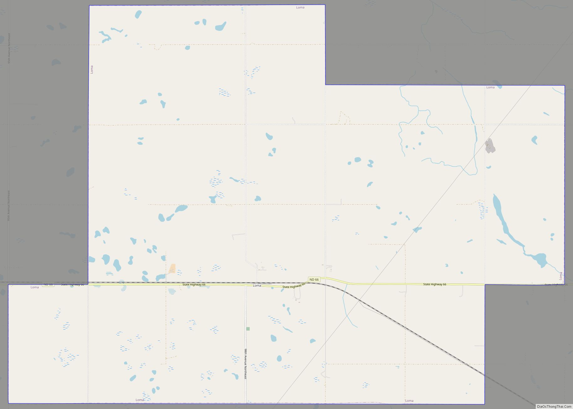
Lakes
- Rush Lake
Cavalier County Topographic Map
Cavalier County Satellite Map
Cavalier County Outline Map