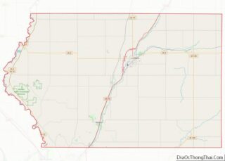
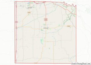
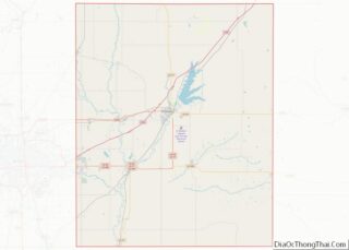
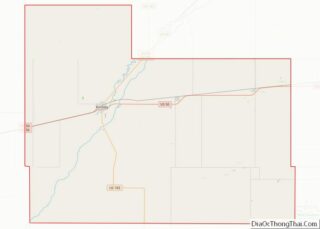
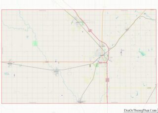
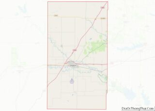
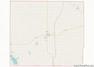
Alamosa County is a county located in the U.S. state of Colorado. As of the 2020 census, the population was 16,376. The county seat is Alamosa. The county name is the Spanish language word for a “grove of cottonwood trees.” Alamosa County overview: Name: Alamosa County FIPS code: 08-003 State: Colorado Founded: March 8, 1913 ... Read more
Map of US Counties
Dolores County overview: Name: Dolores County FIPS code: 08-033 State: Colorado Founded: February 19, 1881 Named for: Dolores River Seat: Dove Creek Largest town: Dove Creek Total Area: 1,068 sq mi (2,770 km²) Land Area: 1,067 sq mi (2,760 km²) Total Population: 2,397 Population Density: 2.2/sq mi (0.8/km²) Time zone: UTC−7 (Mountain) Summer Time Zone (DST): UTC−6 (MDT) Website: dolocnty.colorado.gov Dolores County ... Read more
La Plata County is a county located in the U.S. state of Colorado. As of the 2020 census, the population was 55,638. The county seat is Durango. The county was named for the La Plata River and the La Plata Mountains. “La plata” means “the silver” in Spanish. La Plata County comprises the Durango, CO ... Read more
Pitkin County is a county in the U.S. state of Colorado. As of the 2020 census, the population was 17,358. The county seat and largest city is Aspen. The county is named for Colorado Governor Frederick Walker Pitkin. Pitkin County has the seventh-highest per capita income of any U.S. county. Measured by mean income of ... Read more
Hartford County overview: Name: Hartford County FIPS code: 09-003 State: Connecticut Founded: May 10, 1666 Named for: Hertfordshire, England Seat: none (since 1960), Hartford (before 1960) Total Area: 750 sq mi (1,900 km²) Land Area: 735 sq mi (1,900 km²) Total Population: 899,498 Population Density: 1,199.3/sq mi (463.1/km²) Hartford County location map. Where is Hartford County? History Hartford County was one of ... Read more
Broward County (/ˈbraʊ.ərd/ BROURD, BROW-(w)ərd) is a county in the southeastern part of Florida, located in the Miami metropolitan area. It is Florida’s second-most populous county after Miami-Dade County and the 17th-most populous in the United States, with over 1.94 million residents as of the 2020 census. Its county seat and largest city is Fort ... Read more
Gulf County is a county located in the panhandle of the U.S. state of Florida. As of the 2020 census, the population was 14,192. Its county seat is Port St. Joe. Gulf County is included in the Panama City, FL Metropolitan Statistical Area. Gulf County overview: Name: Gulf County FIPS code: 12-045 State: Florida Founded: ... Read more
Liberty County is a county located in the state of Florida. As of the 2020 census, the population was 7,974, making it the least populous county in Florida. Its county seat is Bristol. Liberty County is one of only two dry counties in Florida (the other is Lafayette County). The Apalachicola National Forest occupies half ... Read more
Putnam County is a county located in the northern part of the state of Florida. As of the 2020 census, the population was 73,321. Its county seat is Palatka. Putnam County comprises the Palatka, FL Micropolitan Statistical Area, which is included in the Jacksonville–St. Marys-Palatka, FL-GA Combined Statistical Area. The county is centrally located between ... Read more
Bacon County is a county located in the southeastern part of the U.S. state of Georgia. As of the 2020 census, the population was 11,140. The county seat is Alma. Bacon County overview: Name: Bacon County FIPS code: 13-005 State: Georgia Founded: 1914 Named for: Augustus Octavius Bacon Seat: Alma Largest city: Alma Total Area: ... Read more
Calhoun County is a rural county in the southwestern part of the U.S. state of Georgia. Its county seat is Morgan. Calhoun County overview: Name: Calhoun County FIPS code: 13-037 State: Georgia Founded: 1854 Named for: John C. Calhoun Seat: Morgan Largest city: Morgan Total Area: 284 sq mi (740 km²) Land Area: 280 sq mi (700 km²) Total Population: 5,573 ... Read more
Colquitt County is a county in the U.S. state of Georgia. As of the 2020 census, the population was 45,898. The county seat is Moultrie. The county was created on February 25, 1856, and is named for Walter Terry Colquitt, a U.S. senator. Colquitt County comprises the Moultrie, GA Micropolitan Statistical Area. Colquitt County overview: ... Read more