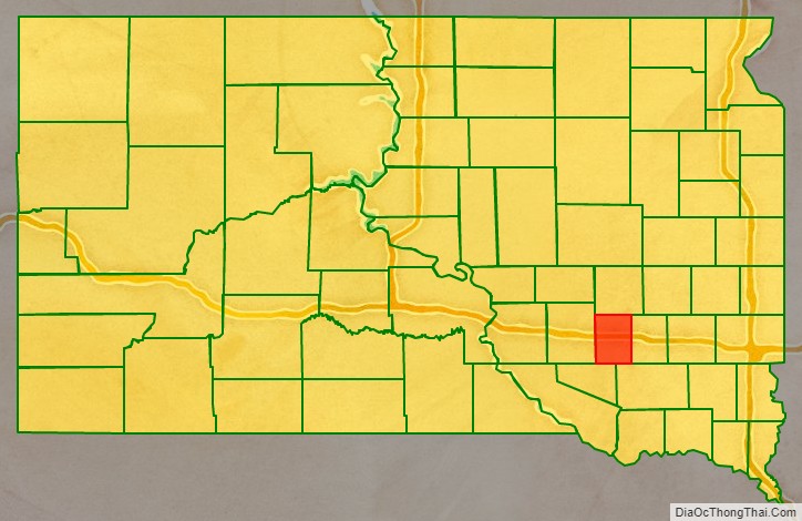
Davison County is a county in the U.S. state of South Dakota. As of the 2020 United States Census, the population was 19,956. Its county seat is Mitchell. The county was created in 1873 and organized in 1874. It was named for Henry C. Davison, the first settler in the county.
Davison County is part of the Mitchell, SD Micropolitan Statistical Area.
| Name: | Davison County |
|---|---|
| FIPS code: | 46-035 |
| State: | South Dakota |
| Founded: | 1873 |
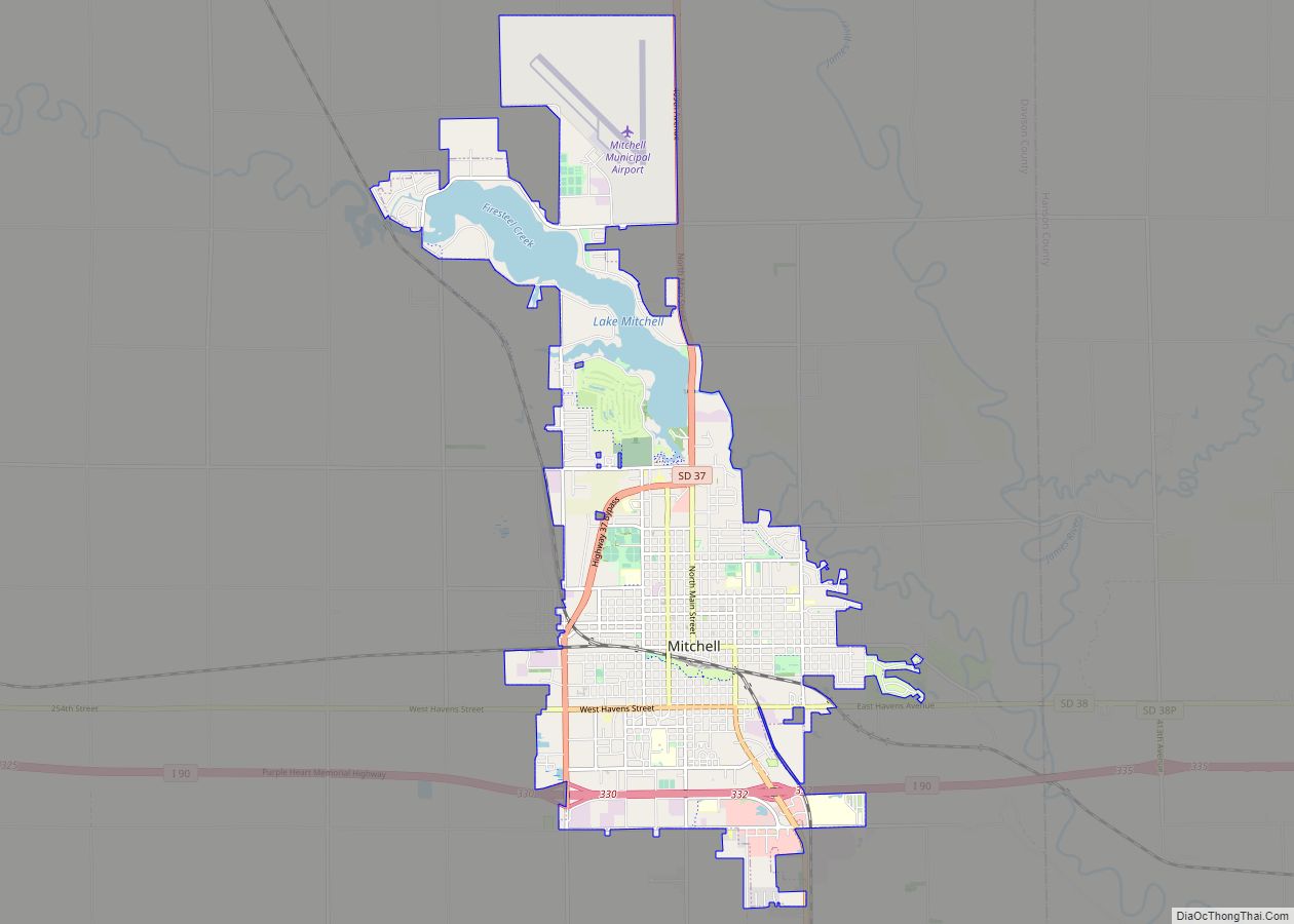
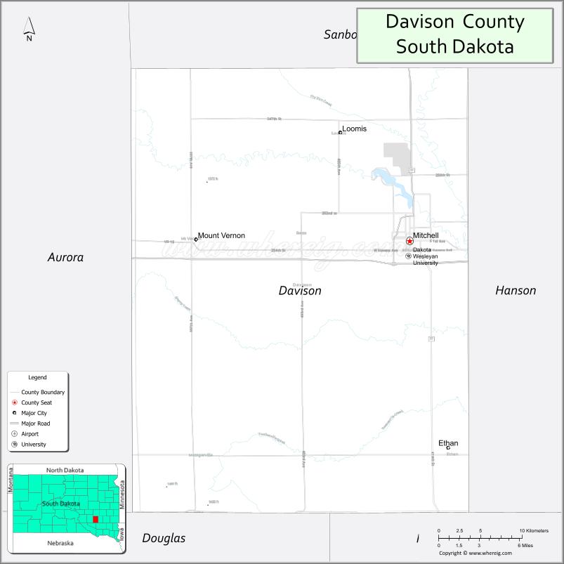
| Seat: | Mitchell |
| Largest city: | Mitchell |
| Total Area: | 437 sq mi (1,130 km²) |
| Land Area: | 436 sq mi (1,130 km²) |
| Total Population: | 19,956 |
| Population Density: | 46/sq mi (18/km²) |
| Time zone: | UTC−6 (Central) |
| Summer Time Zone (DST): | UTC−5 (CDT) |
| Website: | www.davisoncounty.org |
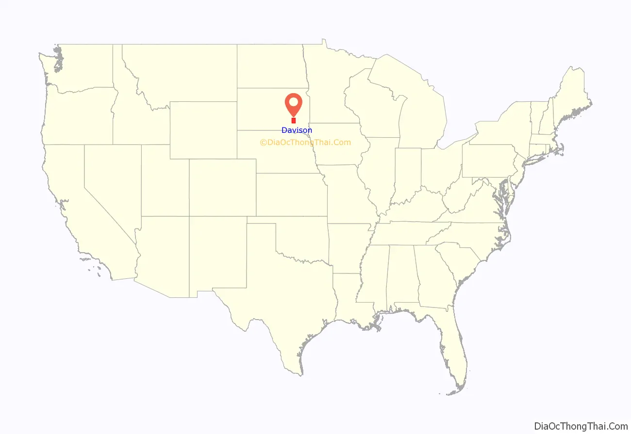
Davison County location map. Where is Davison County?
History
The area’s first settlement occurred in 1871 in “Firesteel Creek”; the settlers were Herman Cady Greene and John Head. Greene brought lumber from Yankton in 1872 and built a frame house. The small community which grew around this house was called Firesteel. It became part of a county created by the territorial legislature in 1873.
In 1881 the territorial legislature met and considered two bills redefining the boundaries of Hanson and Davison Counties. They considered adjusting the two counties’ boundaries by either combining the two, or changing their method of separation. A public vote determined to add four townships to the west, and split the two previous counties down the middle.
The settlement originally called “Arlandton” was renamed “Mount Vernon” in 1882; by 1883 it boasted a hardware store, a livery stable, lumber yard, drugstore, cigar maker, and a hotel.
During the latter part of the nineteenth century the county was served by railroad spur lines. By the mid-twentieth century, those lines had been abandoned and removed.
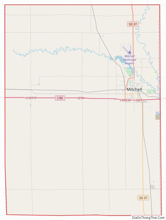
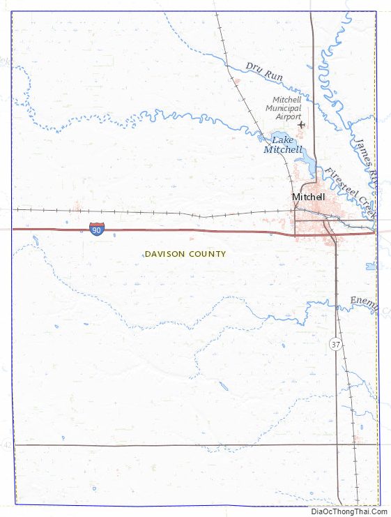
Davison County Road Map
Geography
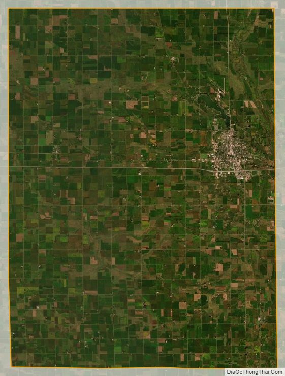
The terrain of Davison County consists of rolling hills. Its area is largely devoted to agriculture. The James River flows south-southeastward through the NE portion of the county. A local drainage flows eastward through the upper quarter of the county, terminating in Lake Mitchell, north of the city of Mitchell. The terrain slopes to the east, and rises toward its SW corner. Its highest point is on the western portion of its southern border, at 1,667′ (508m) ASL.
The county has a total area of 437 square miles (1,130 km), of which 436 square miles (1,130 km) is land and 1.4 square miles (3.6 km) (0.3%) is water. It is the fourth-smallest county in South Dakota by area.
Major highways
- Interstate 90
- South Dakota Highway 37
- South Dakota Highway 42
Adjacent counties
- Sanborn County – north
- Hanson County – east
- Hutchinson County – southeast
- Douglas County – southwest
- Aurora County – west
Davison County Topographic Map
Davison County Satellite Map
Davison County Outline Map