Map of Fergus County, Montana
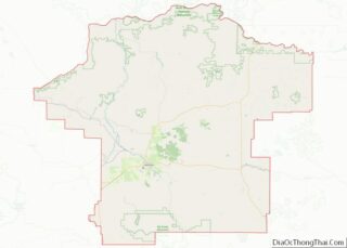
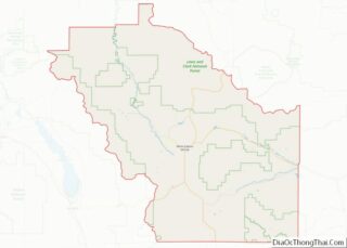
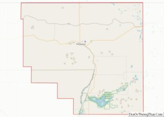
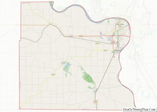
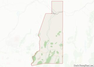
Fergus County is a county in the U.S. state of Montana. As of the 2020 census, the population was 11,446. Its county seat is Lewistown. The county was founded in 1885 and named for James Fergus, a Montana politician who was instrumental in creating the county. Fergus County overview: Name: Fergus County FIPS code: 30-027 ... Read more
Map of Fergus County, Montana
Map of Meagher County, Montana
Meagher County (/ˈmɑːr/ MARR) is a county located in the U.S. state of Montana. As of the 2020 census, the population was 1,927. Its county seat is White Sulphur Springs. According to the United States Census Bureau, the 2010 center of population of Montana is located in Meagher County at 46°47′N 111°18′W / 46.78°N 111.3°W ... Read more
Map of Meagher County, Montana
Map of Sheridan County, Montana
Sheridan County is a county in the U.S. state of Montana. As of the 2020 census, the population was 3,539. Its county seat is Plentywood. Its northern boundary is the Canada–United States border south of Saskatchewan. Sheridan County overview: Name: Sheridan County FIPS code: 30-091 State: Montana Founded: March 11, 1913 Named for: Philip Sheridan ... Read more
Map of Sheridan County, Montana
Map of Boone County, Nebraska
Boone County is a county in the U.S. state of Nebraska. As of the 2020 United States Census, the population was 5,386. Its county seat is Albion. The county was organized in 1871 and named after Daniel Boone. In the Nebraska license plate system, Boone County is represented by the prefix 23 (it had the ... Read more
Map of Boone County, Nebraska
Map of Dakota County, Nebraska
Dakota County is a county in the U.S. state of Nebraska. As of the 2020 United States Census, the population was 21,582. Its county seat is Dakota City. Dakota County is part of the Sioux City, IA–NE–SD Metropolitan Statistical Area. In the Nebraska license plate system, Dakota County is represented by the prefix 70 (it ... Read more
Map of Dakota County, Nebraska
Map of Grant County, Nebraska
Grant County is a county in the U.S. state of Nebraska. As of the 2010 United States Census, the population was 614, making it the fourth-least populous county in Nebraska and the ninth-least populous county in the United States. Its county seat is Hyannis. The county was founded in 1887 and named for Ulysses S. ... Read more
Map of Grant County, Nebraska
Map of Knox County, Nebraska
Knox County is a county in the U.S. state of Nebraska. As of the 2020 United States Census, the population was 8,391. Its county seat is Center. Knox County was named for Continental and U.S. Army Major General Henry Knox. In the Nebraska license plate system, Knox County is represented by the prefix 12 (it ... Read more
Map of Knox County, Nebraska
Map of Pierce County, Nebraska
Pierce County is a county in the U.S. state of Nebraska. As of the 2010 United States Census, the population was 7,266. Its county seat is Pierce. The county was formed in 1859, and was named for US President Franklin Pierce. Pierce County is part of the Norfolk, NE Micropolitan Statistical Area. In the Nebraska ... Read more
Map of Pierce County, Nebraska
Map of Thomas County, Nebraska
Thomas County is a county in the U.S. state of Nebraska. As of the 2010 United States Census, the population was 647. Its county seat is Thedford. The county was formed in 1887, and was named for General George H. Thomas. In the Nebraska license plate system, Thomas County is represented by the prefix 89 ... Read more
Map of Thomas County, Nebraska
Map of Lander County, Nevada
Lander County is a county in the U.S. state of Nevada. As of the 2020 census, the population was 5,734. Its county seat is Battle Mountain. Lander County overview: Name: Lander County FIPS code: 32-015 State: Nevada Founded: 1862 Named for: Frederick W. Lander Seat: Battle Mountain Total Area: 5,519 sq mi (14,290 km²) Land Area: 5,490 sq mi (14,200 km²) ... Read more
Map of Lander County, Nevada
Map of Rockingham County, New Hampshire
Rockingham County is a county in the U.S. state of New Hampshire. At the 2020 census, the population was 314,176, making it New Hampshire’s second-most populous county. The county seat is Brentwood. Rockingham County is part of the Boston–Cambridge–Newton, MA-NH Metropolitan Statistical Area and the greater Boston-Worcester-Providence, MA-RI-NH–CT Combined Statistical Area. Per the 2020 census, ... Read more
Map of Rockingham County, New Hampshire
Map of Morris County, New Jersey
Morris County overview: Name: Morris County FIPS code: 34-027 State: New Jersey Founded: March 15, 1739 Named for: Colonial governor Lewis Morris Seat: Morristown Largest town: Parsippany-Troy Hills Township (population)Rockaway Township (area) Total Area: 481.62 sq mi (1,247.4 km²) Land Area: 460.18 sq mi (1,191.9 km²) Total Population: 509,285 Population Density: 1,104.8/sq mi (426.6/km²) Website: www.co.morris.nj.us Morris County location map. Where is ... Read more
Map of Morris County, New Jersey