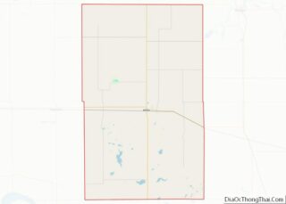
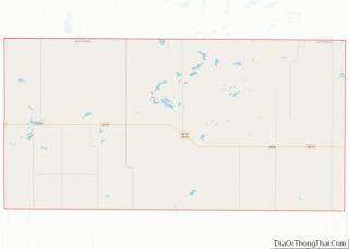
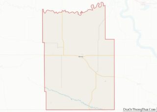
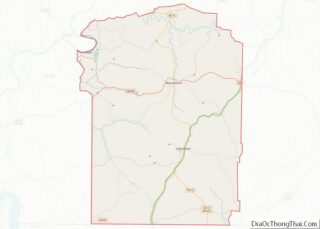
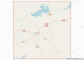
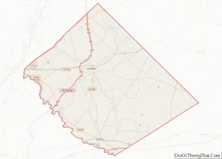
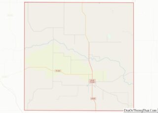
Map of Schuyler County

Map of Schuyler County, Illinois

Schuyler County is a county in the U.S. state of Illinois. According to the 2010 census, it had a population of 7,544. Its county seat is Rushville. Schuyler County overview: Name: Schuyler County FIPS code: 17-169 State: Illinois Founded: 1825 Named for: Philip Schuyler Seat: Rushville Largest city: Rushville Total Area: 441 sq mi (1,140 km²) Land Area: … Read more

Map of Winnebago County

Map of Winnebago County, Illinois

Winnebago County is a county located in the U.S. state of Illinois. According to the 2020 census, it had a population of 285,350 making it the seventh most populous county in Illinois behind Cook County and its five surrounding collar counties. Its county seat is Rockford. Winnebago County is the central county of the Rockford … Read more

Map of De Kalb County

Map of DeKalb County, Indiana

DeKalb County is a county in the U.S. state of Indiana. As of the 2020 United States Census, the population was 43,265. The county seat is Auburn. DeKalb County overview: Name: DeKalb County FIPS code: 18-033 State: Indiana Founded: 7 February 1835 (authorized)1837 (organized) Named for: Johann, Baron de Kalb Seat: Auburn Largest city: Auburn … Read more

Map of Harrison County

Map of Harrison County, Indiana

Harrison County is located in the far southern part of the U.S. state of Indiana along the Ohio River. The county was officially established in 1808. Its county seat is Corydon, the former capital of Indiana. Harrison County is part of the Louisville-Jefferson County, KY-IN Metropolitan Statistical Area. The county has a diverse economy with … Read more

Map of LaPorte County

Map of LaPorte County, Indiana

LaPorte County is a county located in the U.S. state of Indiana. As of 2010, the population was 111,467. The county seat is the city of La Porte, and the largest city is Michigan City. This county is part of the Northwest Indiana and Michiana regions of the Chicago metropolitan area. The LaPorte County Courthouse … Read more

Map of Perry County

Map of Perry County, Indiana

Perry County is a county located in the southwestern part of the U.S. state of Indiana. As of 2010, the population was 19,338. The county seat is Tell City. It is the hilliest county as well as one of the most forested counties in Indiana as it features more than 60,000 acres (240 km) of Hoosier … Read more

Map of Switzerland County

Map of Switzerland County, Indiana

Switzerland County is a county in the southeast corner of the U.S. state of Indiana. As of the 2020 United States Census, the population was 9,737. The county seat is Vevay, one of two incorporated towns in the county. Switzerland County overview: Name: Switzerland County FIPS code: 18-155 State: Indiana Founded: 1814 Named for: Switzerland … Read more

Map of Adams County

Map of Adams County, Iowa

Adams County is a county in the U.S. state of Iowa. As of the 2020 census, the population was 3,704, making it Iowa’s least-populous county. Its county seat is Corning. Adams County overview: Name: Adams County FIPS code: 19-003 State: Iowa Founded: March 12, 1853 Named for: John Adams Seat: Corning Largest city: Corning Total … Read more

Map of Cherokee County

Map of Cherokee County, Iowa

Cherokee County is a county located in the U.S. state of Iowa. As of the 2020 census, the population was 11,658. The county seat is Cherokee. The county was formed on January 15, 1851, from open territory. It was named after the Cherokee people. Cherokee County overview: Name: Cherokee County FIPS code: 19-035 State: Iowa … Read more

Map of Floyd County

Map of Floyd County, Iowa

Floyd County is a county located in the U.S. state of Iowa. As of the 2020 census, the population was 15,627. The county seat is Charles City. Floyd County overview: Name: Floyd County FIPS code: 19-067 State: Iowa Founded: 1851 Named for: Charles Floyd Seat: Charles City Largest city: Charles City Total Area: 501 sq mi (1,300 km²) … Read more

Map of Jasper County

Map of Jasper County, Iowa

Jasper County is a county in the U.S. state of Iowa. As of the 2020 census, the population was 37,813. The county seat is Newton. The county was organized in 1846 and is named after Sergeant William Jasper, a Revolutionary War hero. Jasper County is part of the Des Moines–West Des Moines, IA Metropolitan Statistical … Read more

Map of Mitchell County

Map of Mitchell County, Iowa

Mitchell County is a county located in the U.S. state of Iowa. As of the 2020 census, the population was 10,565. The county seat is Osage. It is not clear whom the county is named after: the county website mentions John Mitchell, an early surveyor, and an Irish patriot John Mitchel. Mitchell County overview: Name: … Read more