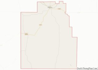
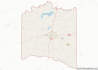
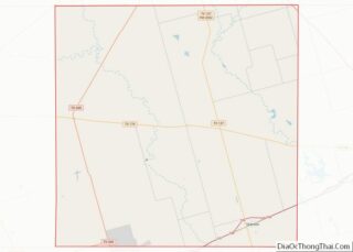
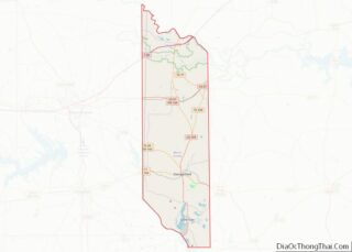
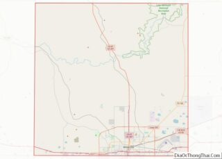
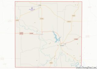
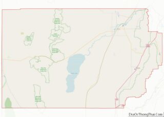
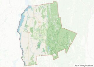
Map of Sullivan County

Map of Sullivan County, Indiana

Sullivan County is a county in the U.S. state of Indiana, and determined by the US Census Bureau to include the mean center of U.S. population in 1940. As of 2020, the population was 20,758. The county seat (and the county’s only incorporated city) is Sullivan. Sullivan County is included in the Terre Haute, Indiana, … Read more

Map of Adair County

Map of Adair County, Iowa

Adair County is a county in the U.S. state of Iowa. As of the 2020 census, the population was 7,496. Its county seat is Greenfield. Adair County overview: Name: Adair County FIPS code: 19-001 State: Iowa Founded: 1851 Named for: John Adair Seat: Greenfield Largest city: Greenfield Total Area: 570 sq mi (1,500 km²) Land Area: 569 sq mi (1,470 km²) … Read more

Map of Cerro Gordo County

Map of Cerro Gordo County, Iowa

Cerro Gordo County (/ˈsɛroʊ ˈɡɔːrdoʊ/; Spanish: [ˈsero ˈɣoɾðo]) is a county located in the U.S. state of Iowa. As of the 2020 census, the population was 43,127. Its county seat is Mason City. The county is named for the Battle of Cerro Gordo, which took place during the Mexican–American War. Cerro Gordo County is part of … Read more

Map of Fayette County

Map of Fayette County, Iowa

Fayette County is a county located in the U.S. state of Iowa. As of the 2020 census, the population was 19,509. The county seat is West Union. Fayette County overview: Name: Fayette County FIPS code: 19-065 State: Iowa Founded: 1837 Named for: Marquis de Lafayette Seat: West Union Largest city: Oelwein Total Area: 731 sq mi (1,890 km²) … Read more

Map of Jackson County

Map of Jackson County, Iowa

Jackson County is a county located in the U.S. state of Iowa. As of the 2020 census, the population was 19,485. The county seat is Maquoketa. Jackson County overview: Name: Jackson County FIPS code: 19-097 State: Iowa Founded: December 21, 1837 Named for: Andrew Jackson Seat: Maquoketa Largest city: Maquoketa Total Area: 650 sq mi (1,700 km²) Land … Read more

Map of Mills County

Map of Mills County, Iowa

Mills County is a county located in the U.S. state of Iowa. As of the 2020 census, the population was 14,484. The county seat is Glenwood. The county was formed in 1851 and named for Major Frederick Mills of Burlington, Iowa who was killed at the Battle of Churubusco during the Mexican–American War. Mills County … Read more

Map of Sac County

Map of Sac County, Iowa

Sac County is a county located in the U.S. state of Iowa. As of the 2020 census, the population was 9,814. The county seat is Sac City. Both were named for the Sauk people, a local American Indian tribe. In February 2007, in its third annual list of the “Best Places to Live in Rural … Read more

Map of Woodbury County

Map of Woodbury County, Iowa

Woodbury County is a county located in the U.S. state of Iowa. As of the 2020 census, the population was 105,941, making it the sixth-most populous county in Iowa. The county seat is Sioux City. Woodbury County is included in the Sioux City metropolitan area. Woodbury County overview: Name: Woodbury County FIPS code: 19-193 State: … Read more

Map of Clay County

Map of Clay County, Kansas

Clay County (county code CY) is a county located in the U.S. state of Kansas. As of the 2020 census, the county population was 8,117. Its county seat and most populous city is Clay Center. Clay County overview: Name: Clay County FIPS code: 20-027 State: Kansas Founded: February 20, 1857 Named for: Henry Clay Seat: … Read more

Map of Franklin County

Map of Franklin County, Kansas

Franklin County (county code FR) is a county located in the eastern portion of the U.S. state of Kansas. As of the 2020 census, the county population was 25,996. Its county seat and most populous city is Ottawa. The county is predominantly rural. Formerly it was a part of the Kansas City metropolitan area, but … Read more

Map of Johnson County

Map of Johnson County, Kansas

Johnson County is a county in the U.S. state of Kansas, on the border with Missouri. As of the 2020 census, the population was 609,863, making it the most populous county in Kansas. Its county seat is Olathe. Largely suburban, the county contains a number of suburbs of Kansas City, Missouri, including Overland Park, a … Read more

Map of Mitchell County

Map of Mitchell County, Kansas

Mitchell County (standard abbreviation: MC) is a county located in the U.S. state of Kansas. As of the 2020 census, the county population was 5,796. The largest city and county seat is Beloit. Mitchell County overview: Name: Mitchell County FIPS code: 20-123 State: Kansas Founded: February 26, 1867 Named for: William D. Mitchell Seat: Beloit … Read more