Yuma County is a county in the southwestern corner of the U.S. state of Arizona. As of the 2020 census, its population was 203,881. The county seat is Yuma.
Yuma County includes the Yuma, Arizona Metropolitan Statistical Area.
The county borders three states: Sonora, Mexico, to the south, and two other states to the west, across the Colorado River: California of the United States and the Mexican state of Baja California.
Being 63.8% Hispanic in 2020, Yuma is Arizona’s largest majority-Hispanic county.
| Name: | Yuma County |
|---|---|
| FIPS code: | 04-027 |
| State: | Arizona |
| Founded: | November 9, 1864 |
| Named for: | Yuma (Quechan) people |
| Seat: | Yuma |
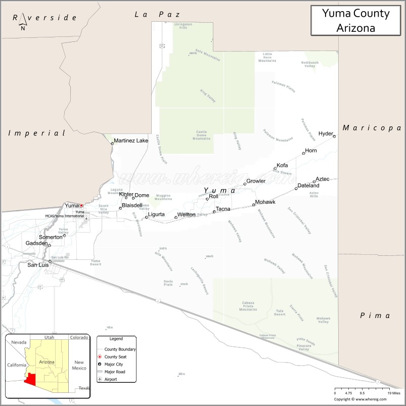
| Largest city: | Yuma |
| Total Area: | 5,519 sq mi (14,290 km²) |
| Land Area: | 5,514 sq mi (14,280 km²) |
| Total Population: | 203,881 |
| Population Density: | 37/sq mi (14/km²) |
| Time zone: | UTC−7 (Mountain) |
| Website: | www.yumacountyaz.gov |
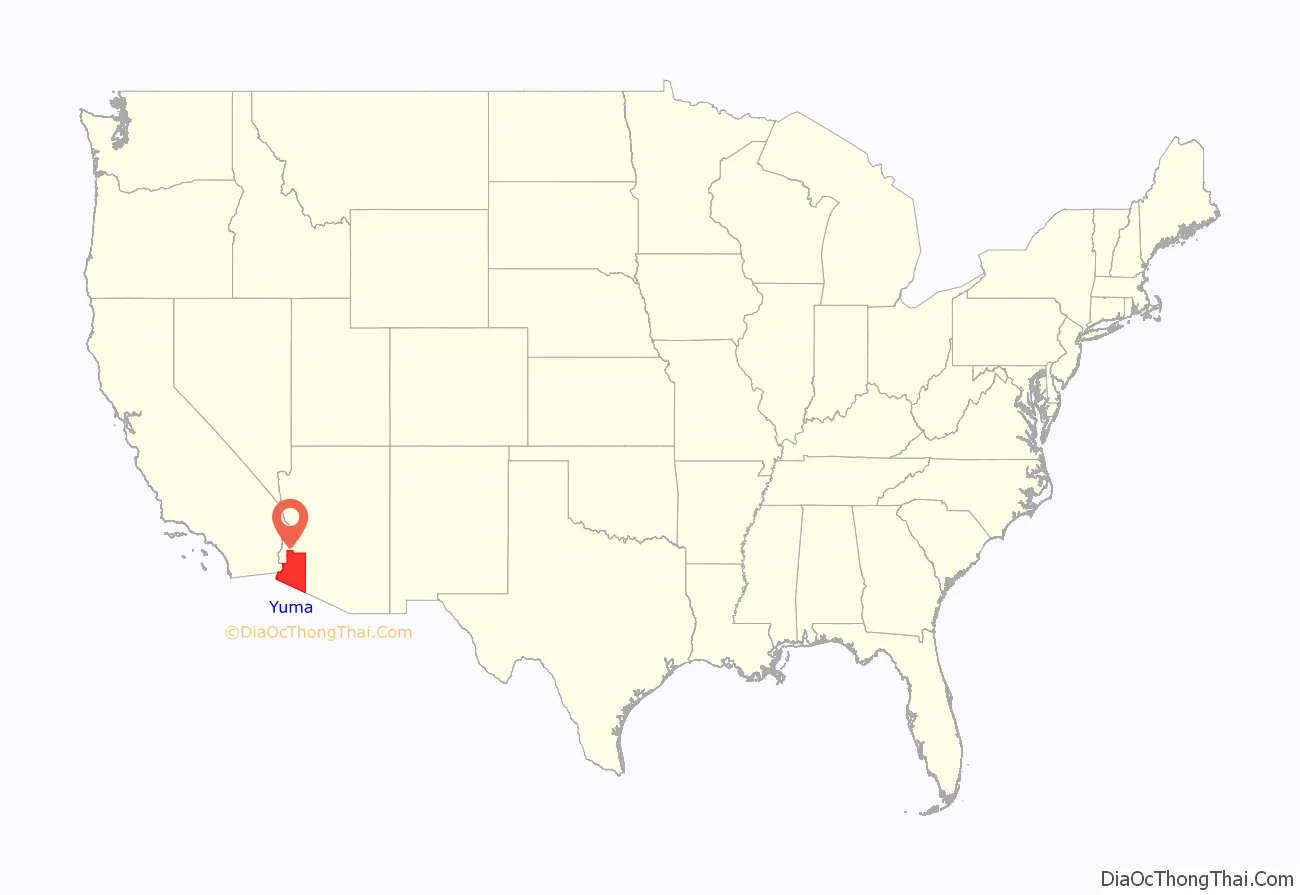
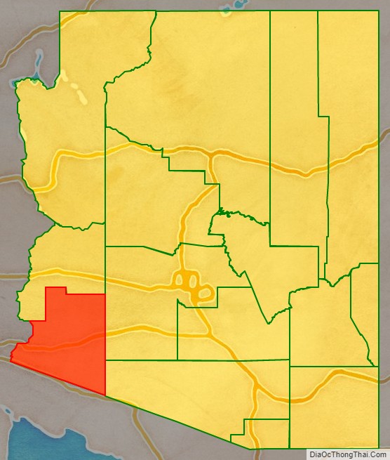
Yuma County location map. Where is Yuma County?
History
Long settled by Native Americans of indigenous cultures for thousands of years, this area was controlled by the Spanish Empire in the colonial era. In the 19th century, it was part of independent Mexico before the Mexican–American War and Gadsden Purchase.
Yuma County was one of four original Arizona counties created by the 1st Arizona Territorial Legislature. The county territory was defined as being west of longitude 113° 20′ and south of the Bill Williams River. Its original boundaries remained the same until 1982, when La Paz County was created from its northern half.
The original county seat was the city of La Paz; in 1871 it was moved to Arizona City, later renamed as Yuma in 1873.
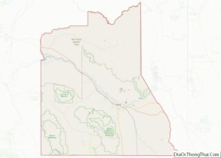
Yuma County Road Map
Geography
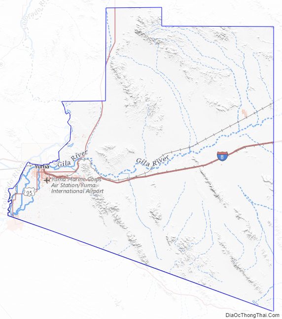
According to the United States Census Bureau, the county has an area of 5,519 square miles (14,290 km), of which 5,514 square miles (14,280 km) is land and 5.1 square miles (13 km) (0.1%) is water. The lowest point in the state of Arizona is on the Colorado River in San Luis in Yuma County, where it flows out of Arizona and into Sonora in Mexico.
Yuma County is in the west, and northwestern regions of the north–south Sonoran Desert that extends through Sonora state of Mexico to the border of northern Sinaloa state. West of the county across the Colorado River in southeast California is the Colorado Desert, (a northwestern subregion of the Sonoran Desert). North of the county, with La Paz County the regions merge into the southeastern Mojave Desert. Southwest of Yuma County, is the entirety of Northwest Mexico, at the north shoreline of the Gulf of California, and the outlet of the Colorado River into the Colorado River Delta region, now altered with lack of freshwater inputs. Notable mountains in Yuma County include the Gila Mountains and the Tule Mountains.
Adjacent counties and municipalities
- La Paz County – north
- Maricopa County – east
- Pima County – southeast
- Sonora, Mexico – south
- Baja California, Mexico – southwest
- Imperial County, California – west
Major highways
- Interstate 8
- Historic U.S. Route 80
- U.S. Route 95
- Arizona State Route 195
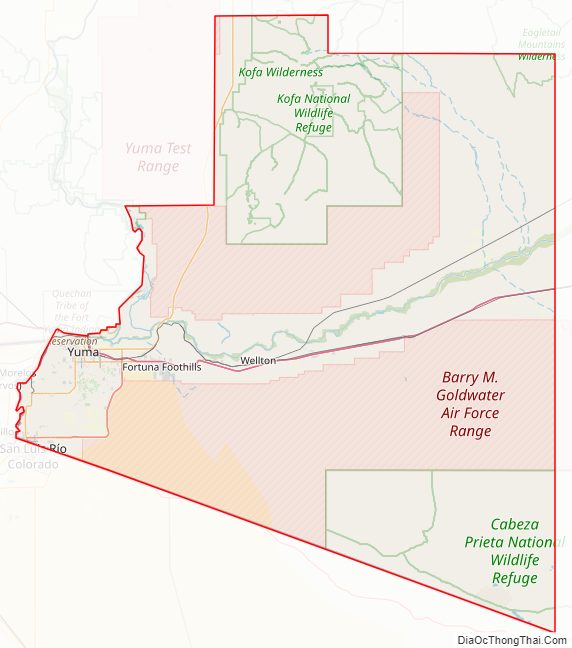
National protected areas
- Cabeza Prieta National Wildlife Refuge (part)
- Imperial National Wildlife Refuge (part)
- Kofa National Wildlife Refuge (part)
Climate
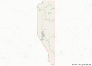
Yuma County Topographic Map
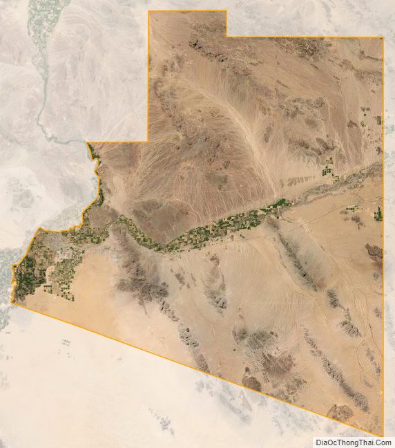
Yuma County Satellite Map
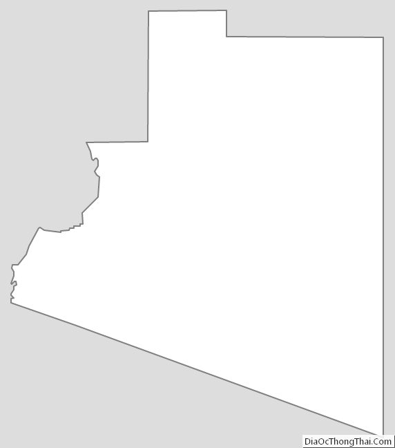
Yuma County Outline Map