Map of San Francisco County, California
San Francisco (/ˌsæn frənˈsɪskoʊ/; Spanish for “Saint Francis”), officially the City and County of San Francisco, is a commercial, financial, and cultural center of Northern California. The city proper is the fourth most populous in California, with 815,201 residents as of 2021, and covers a land area of 46.9 square miles (121 square kilometers), at ... Read more
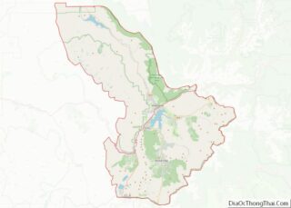
Map of San Francisco County, California
Map of Tulare County, California
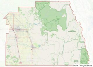
Tulare County (/tʊˈlɛəri/ (listen) tuu-LAIR-ee) is a county located in the U.S. state of California. As of the 2020 census, the population was 473,117. The county seat is Visalia. The county is named for Tulare Lake, once the largest freshwater lake west of the Great Lakes. Drained for agricultural development, the site is now in ... Read more
Map of Tulare County, California
Map of Conejos County, Colorado
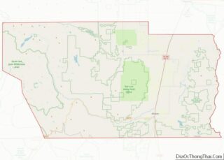
Conejos County is a county located in the U.S. state of Colorado. As of the 2020 census, the population was 7,461. The county seat is the unincorporated community of Conejos. Being 50.7% Hispanic in 2020, Conejos was Colorado’s largest Hispanic-majority county. Conejos County overview: Name: Conejos County FIPS code: 08-021 State: Colorado Founded: November 1, ... Read more
Map of Conejos County, Colorado
Map of Hinsdale County, Colorado
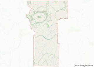
Hinsdale County overview: Name: Hinsdale County FIPS code: 08-053 State: Colorado Founded: February 10, 1874 Named for: George A. Hinsdale Seat: Lake City Largest town: Lake City Total Area: 1,123 sq mi (2,910 km²) Land Area: 1,117 sq mi (2,890 km²) Total Population: 781 Population Density: 0.7/sq mi (0.3/km²) Time zone: UTC−7 (Mountain) Summer Time Zone (DST): UTC−6 (MDT) Website: hinsdalecounty.colorado.gov Hinsdale ... Read more
Map of Hinsdale County, Colorado
Map of Montrose County, Colorado
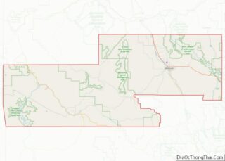
Montrose County is a county located in the U.S. state of Colorado. As of the 2020 census, the population was 42,679. The county seat is Montrose, for which the county is named. Montrose County comprises the Montrose, CO Micropolitan Statistical Area. Montrose County overview: Name: Montrose County FIPS code: 08-085 State: Colorado Founded: February 11, ... Read more
Map of Montrose County, Colorado
Map of Summit County, Colorado
Summit County is a county located in the U.S. state of Colorado. As of the 2020 census, the population was 31,055. The county seat and largest town is Breckenridge. Summit County comprises the Breckenridge, CO Micropolitan Statistical Area. Summit County overview: Name: Summit County FIPS code: 08-117 State: Colorado Founded: November 1, 1861 Named for: ... Read more
Map of Summit County, Colorado
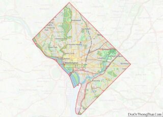
Map of District of Columbia
Washington, D.C., formally the District of Columbia, commonly known as Washington or D.C., is the capital city and federal district of the United States. The city is located on the east bank of the Potomac River, which forms its southwestern border with Virginia, and borders Maryland to its north and east. The city was named ... Read more
Map of District of Columbia
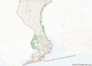
Map of Escambia County, Florida
Escambia County is the westernmost and oldest county in the U.S. state of Florida. It is in the state’s northwestern corner. At the 2020 census, the population was 321,905. Its county seat and largest city is Pensacola. Escambia County is included within the Pensacola-Ferry Pass–Brent, Florida, Metropolitan Statistical Area. The county population has continued to ... Read more
Map of Escambia County, Florida
Map of Jefferson County, Florida
Jefferson County is a county located in the Big Bend region in the northern part of the U.S. state of Florida. As of the 2020 census, the population was 14,510. Its county seat is Monticello. Jefferson County is part of the Tallahassee, FL Metropolitan Statistical Area but is the 3rd most rural county in Florida. ... Read more
Map of Jefferson County, Florida
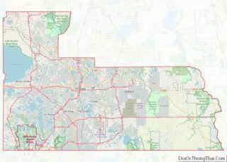
Map of Orange County, Florida
Orange County is located in the central portion of the U.S. state of Florida. As of the 2020 census, the population was 1,429,908, making it Florida’s fifth most populous county. The county seat is Orlando. Orange County is the central county of the Orlando-Kissimmee–Sanford, Florida Metropolitan Statistical Area. Orange County overview: Name: Orange County FIPS ... Read more
Map of Orange County, Florida
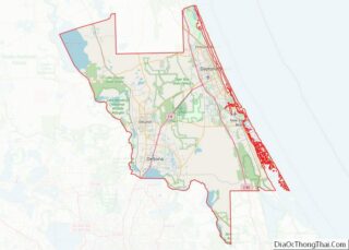
Map of Volusia County, Florida
Volusia County (/vəˈluːʃə/, və-LOO-shə) is located in the east-central part of the U.S. state of Florida between the St. Johns River and the Atlantic Ocean. As of the 2020 census, the county was home to 553,543 people, an increase of 11.9% from the 2010 census. It was founded on December 29, 1854, from part of ... Read more
Map of Volusia County, Florida
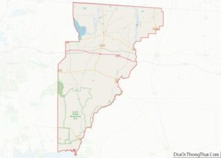
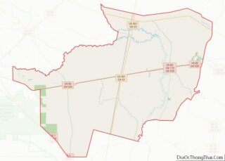
Map of Brantley County, Georgia
Brantley County is a county located in the southeastern part of the U.S. state of Georgia. As of the 2020 census, the population was 18,021. The county seat is Nahunta. Brantley County is part of the Brunswick, Georgia Metropolitan Statistical Area. Brantley County overview: Name: Brantley County FIPS code: 13-025 State: Georgia Founded: 1920 Named ... Read more
Map of Brantley County, Georgia