Anacoco is a village in Vernon Parish, Louisiana, United States. The population was 869 at the 2010 census. It is part of the Fort Polk South Micropolitan Statistical Area.
| Name: | Anacoco village |
|---|---|
| LSAD Code: | 47 |
| LSAD Description: | village (suffix) |
| State: | Louisiana |
| County: | Vernon Parish |
| Incorporated: | 1979 |
| Elevation: | 335 ft (102 m) |
| Total Area: | 3.09 sq mi (8.00 km²) |
| Land Area: | 3.08 sq mi (7.98 km²) |
| Water Area: | 0.01 sq mi (0.02 km²) |
| Total Population: | 851 |
| Population Density: | 276.03/sq mi (106.58/km²) |
| Area code: | 337 |
| FIPS code: | 2201920 |
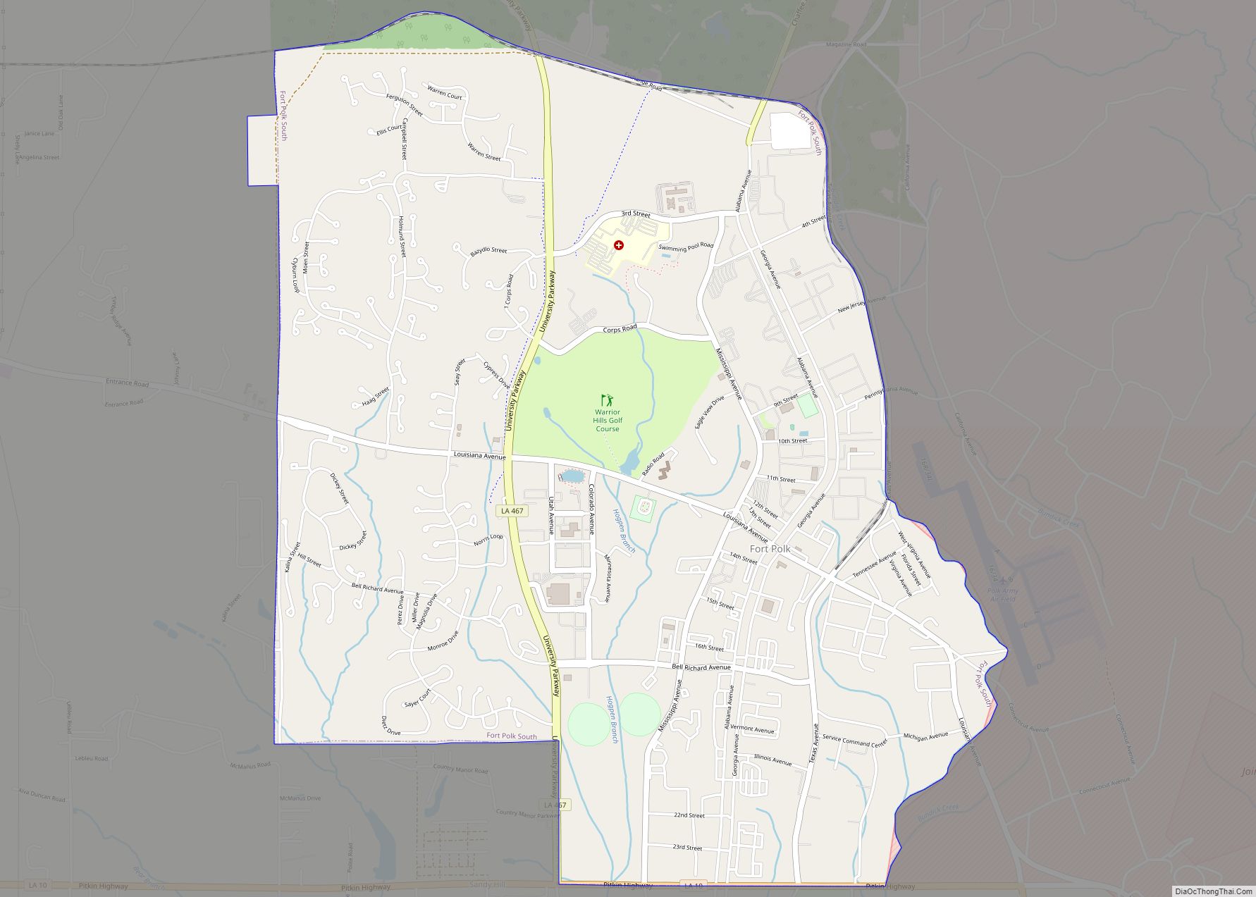
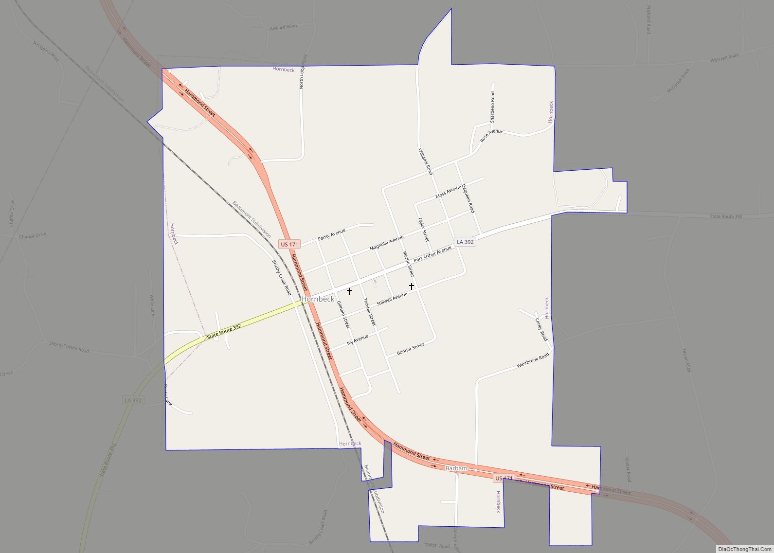
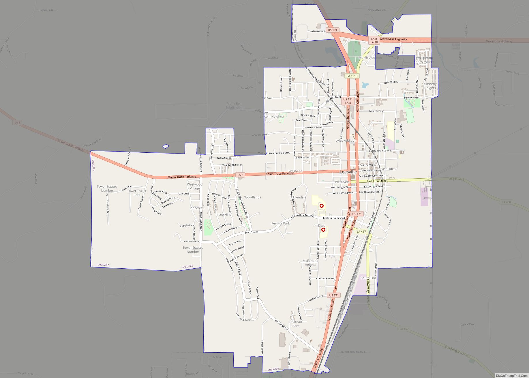
Online Interactive Map
Click on ![]() to view map in "full screen" mode.
to view map in "full screen" mode.
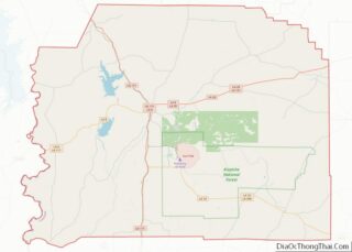
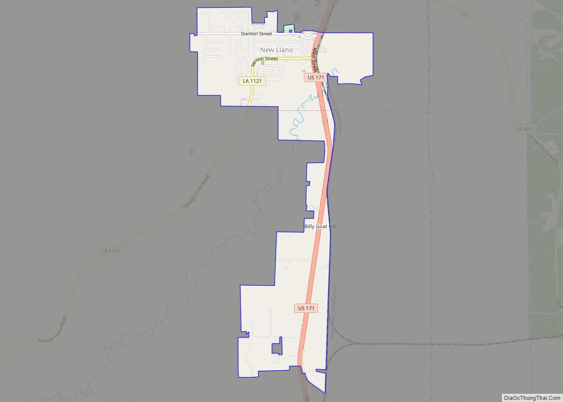
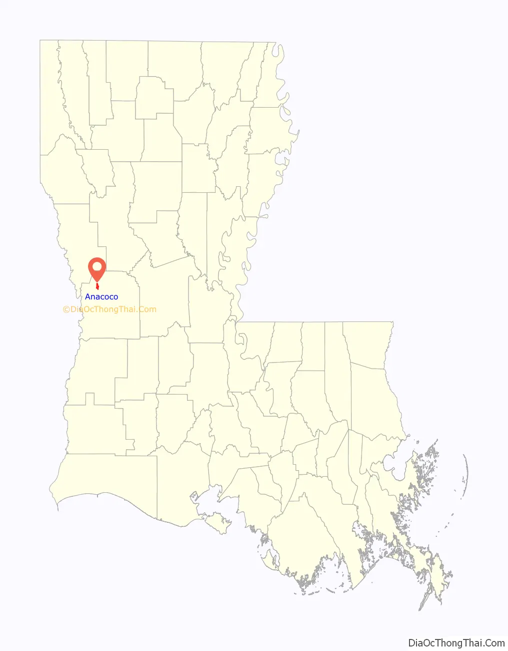
Anacoco location map. Where is Anacoco village?

History
Anacoco was named after Bayou Anacoco and the Anacoco Prairie, all of the names most likely being ultimately derived from the Spanish “Llano Cuco” (Raincrow Plain). The French rendered this as “l’Anacoco,” mistaking the initial letter as the French definite article, which English-speakers subsequently dropped as unnecessary.
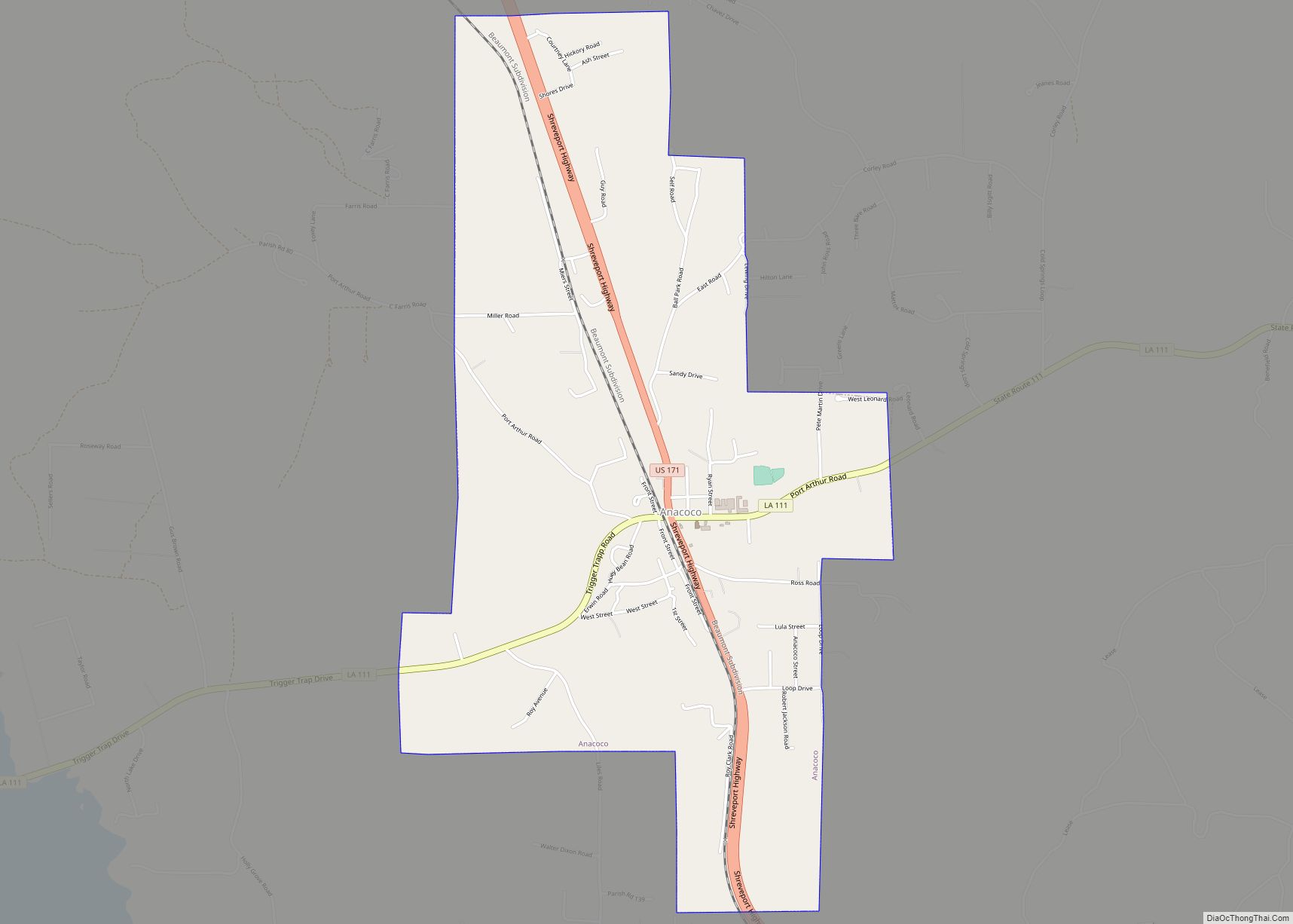
Anacoco Road Map
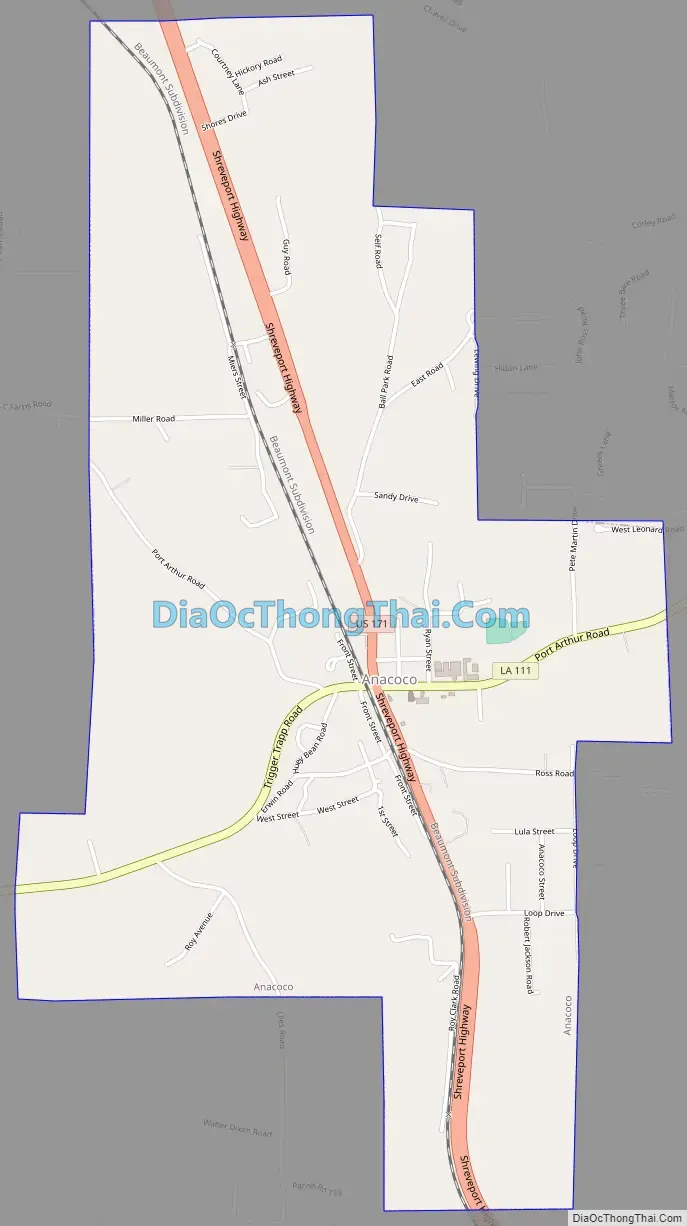
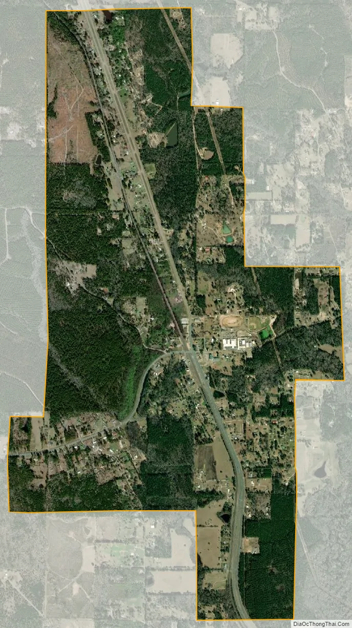
Anacoco city Satellite Map
Geography
Anacoco is located at 31°15′10″N 93°20′38″W / 31.25278°N 93.34389°W / 31.25278; -93.34389 (31.252671, -93.343801).
According to the United States Census Bureau, the village has a total area of 3.1 square miles (8.0 km), all land.
Climate
This climatic region is typified by hot, humid summers and mild winters. According to the Köppen Climate Classification system, Anacoco has a humid subtropical climate, abbreviated “Cfa” on climate maps.
See also
Map of Louisiana State and its subdivision:- Acadia
- Allen
- Ascension
- Assumption
- Avoyelles
- Beauregard
- Bienville
- Bossier
- Caddo
- Calcasieu
- Caldwell
- Cameron
- Catahoula
- Claiborne
- Concordia
- De Soto
- East Baton Rouge
- East Carroll
- East Feliciana
- Evangeline
- Franklin
- Grant
- Iberia
- Iberville
- Jackson
- Jefferson
- Jefferson Davis
- La Salle
- Lafayette
- Lafourche
- Lincoln
- Livingston
- Madison
- Morehouse
- Natchitoches
- Orleans
- Ouachita
- Plaquemines
- Pointe Coupee
- Rapides
- Red River
- Richland
- Sabine
- Saint Bernard
- Saint Charles
- Saint Helena
- Saint James
- Saint John the Baptist
- Saint Landry
- Saint Martin
- Saint Mary
- Saint Tammany
- Tangipahoa
- Tensas
- Terrebonne
- Union
- Vermilion
- Vernon
- Washington
- Webster
- West Baton Rouge
- West Carroll
- West Feliciana
- Winn
- Alabama
- Alaska
- Arizona
- Arkansas
- California
- Colorado
- Connecticut
- Delaware
- District of Columbia
- Florida
- Georgia
- Hawaii
- Idaho
- Illinois
- Indiana
- Iowa
- Kansas
- Kentucky
- Louisiana
- Maine
- Maryland
- Massachusetts
- Michigan
- Minnesota
- Mississippi
- Missouri
- Montana
- Nebraska
- Nevada
- New Hampshire
- New Jersey
- New Mexico
- New York
- North Carolina
- North Dakota
- Ohio
- Oklahoma
- Oregon
- Pennsylvania
- Rhode Island
- South Carolina
- South Dakota
- Tennessee
- Texas
- Utah
- Vermont
- Virginia
- Washington
- West Virginia
- Wisconsin
- Wyoming