Wadena County (/wəˈdiːnə/ wə-DEEN-ə) is a county in the U.S. state of Minnesota. As of the 2020 census, the population was 14,065. Its county seat is Wadena.
| Name: | Wadena County |
|---|---|
| FIPS code: | 27-159 |
| State: | Minnesota |
| Founded: | 1858 |
| Named for: | A trading post |
| Seat: | Wadena |
| Largest city: | Wadena |
| Total Area: | 543 sq mi (1,410 km²) |
| Land Area: | 536 sq mi (1,390 km²) |
| Total Population: | 14,065 |
| Population Density: | 26/sq mi (10/km²) |
| Time zone: | UTC−6 (Central) |
| Summer Time Zone (DST): | UTC−5 (CDT) |
| Website: | www.co.wadena.mn.us |
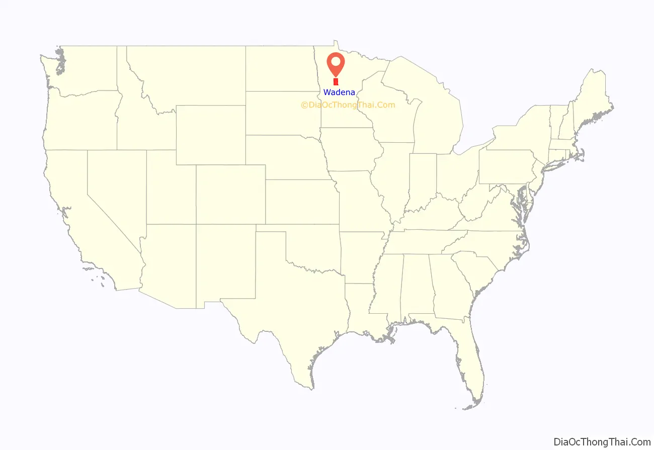
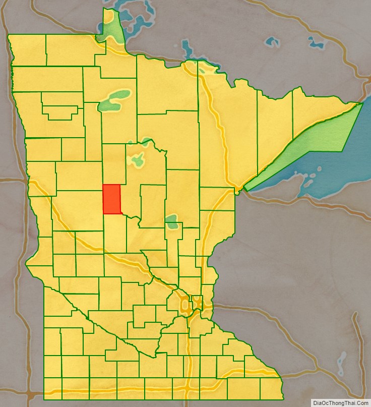
Wadena County location map. Where is Wadena County?
History
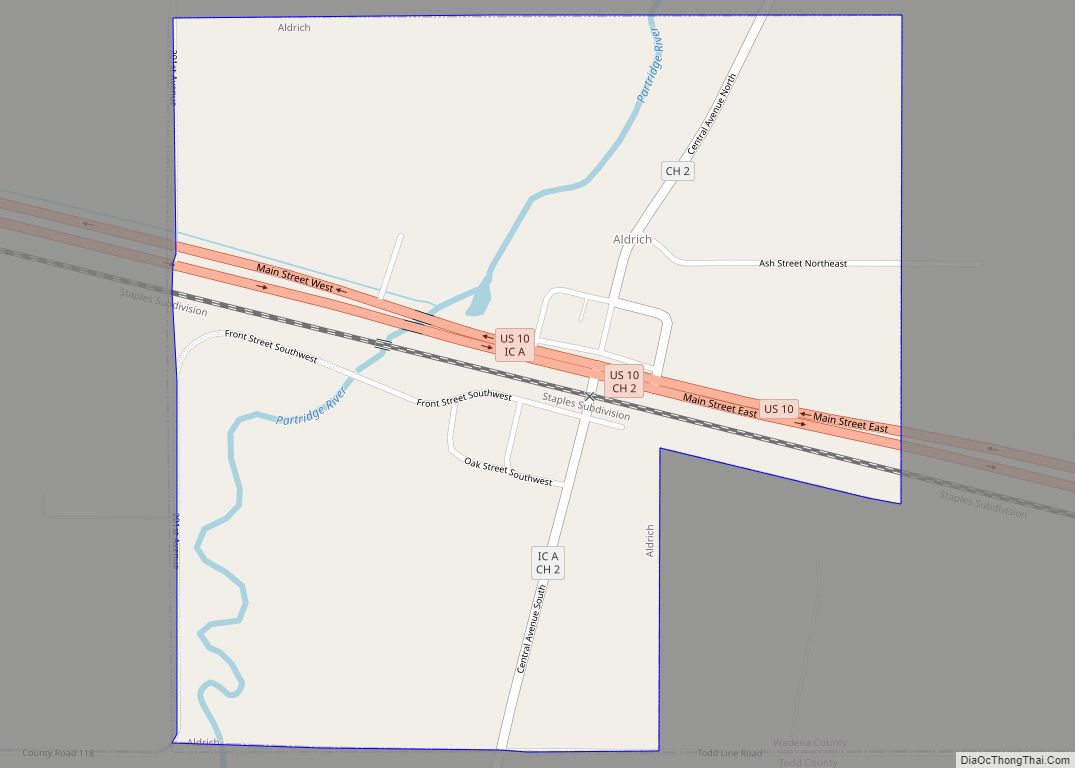
The newly organized Minnesota Legislature created the county on June 11, 1858. A settlement began at the future city of Wadena in 1871, and by 1873 a post office was in operation there. The settlement was designated the county seat when the state legislature organized the county on February 21, 1873. The town took the name of a trading post 15 miles (24 km) to the east, which had flourished for several years but was largely abandoned by that time. The trading post was named for Chief Wadena, an Ojibwe Indian chief of the late 19th century in northwestern Minnesota.
Wadena County comprises 15 townships, first surveyed in 1863. Each township is six miles square and contains 36 sections of land (with the exception of Bullard and Thomastown, which have a slightly different configuration because their boundaries are aligned with the Leaf and Crow Wing Rivers, respectively). In 1857 Augustus Aspinwall laid out a town site in what is now Section 15, Thomastown township, at the junction of the Crow Wing and Partridge rivers, and named it Wadena. When the railroad went through the area in 1872 it ran about three miles south of this site and the town quickly withered away.
During the last part of the 19th century and the first half of the 20th, there were two railroads in the county. The Northern Pacific main line running east to west through Wadena was built in 1872, while the Great Northern branch or “K” line which ran from Sauk Centre to Bemidji, via Sebeka and Menahga, was completed in 1891. The line from Park Rapids to Long Prairie was abandoned in 1984 while the rest was abandoned in the early 1970s with the northern section from Park Rapids to Cass Lake since converted to the Heartland Trail.
Wadena used to be served by the Greyhound Bus Line, Elliott Bros. Transportation Co., Northwest Transportation Co., Red Bus Line, Gray Bus Line, Liederbach Bus Co. and Mercury Bus line.
There are four historical societies in the county, including the Wadena County Historical Society, the Verndale Historical Society, the Sebeka Finnish American Historical Society and the Menahga Historical Society.
In 2010 there were four organized school districts in the county: Wadena, Verndale, Sebeka and Menahga. In 1906 there were 52 school districts in the county, most of which were rural schools.
Sebeka once had Minnesota’s second-largest creamery. Over the years there have been approximately ten creameries in the county and ten cheese factories.
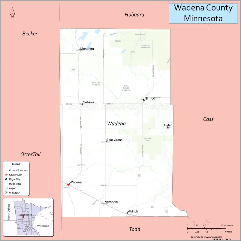
Wadena County Road Map
Geography
The Crow Wing River flows south through the east-central part of the county and forms the lower part of the county’s eastern border as it turns to flow southeast. The Partridge River flows east through the southern part of the county, discharging into the Crow Wing in the county’s southeast corner. The Leaf River flows east through the central part of the county, discharging into the Crow Wing in the county’s eastern portion. The county terrain consists of low rolling hills, carved by drainages, devoted to agriculture wherever possible. The terrain slopes to the east and south, with its highest point near its northwest corner, at 1,460′ (445m) ASL. The county has a total area of 543 square miles (1,410 km), of which 536 square miles (1,390 km) is land and 7.0 square miles (18 km) (1.3%) is water. Wadena is one of 17 Minnesota counties with more savanna soils than prairie or forest soils.
Major highways
- U.S. Route 10
- U.S. Route 71
- Minnesota State Highway 29
- Minnesota State Highway 87
Airports
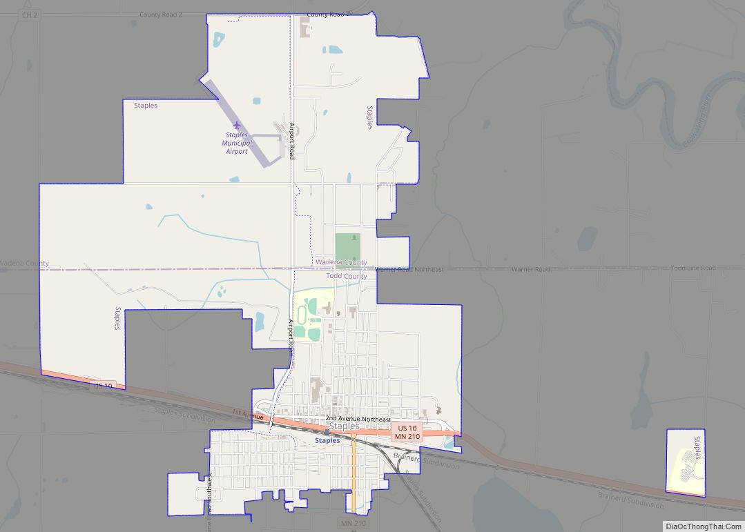
- Staples Municipal Airport (SAZ) – north of Staples
Adjacent counties
- Hubbard County – north
- Cass County – east
- Todd County – south
- Otter Tail County – southwest
- Becker County – northwest
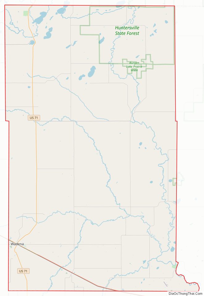
Protected areas
- Burgen Lake Prairie Wildlife Management Area
- Dry Sand State Wildlife Management Area
- Huntersville State Forest
- Lyons State Forest
- Old Wadena County Park
- Old Wadena Historic District
Lakes
- Bill Lake
- Blueberry Lake
- Burgen Lake
- Duck Lake (part)
- Finn Lake
- Granning Lake
- Jim Cook Lake
- Lily Lake
- Lovejoy Lake
- Lower Twin Lake
- Mud Lake
- Radabaugh Lake
- Rice Lake
- Round Lake
- Simon Lake
- Spirit Lake
- Stocking Lake
- Strike Lake]
- Thomas Lake
- Upper Twin Lake (part)
- Yaeger Lake
Wadena County Topographic Map
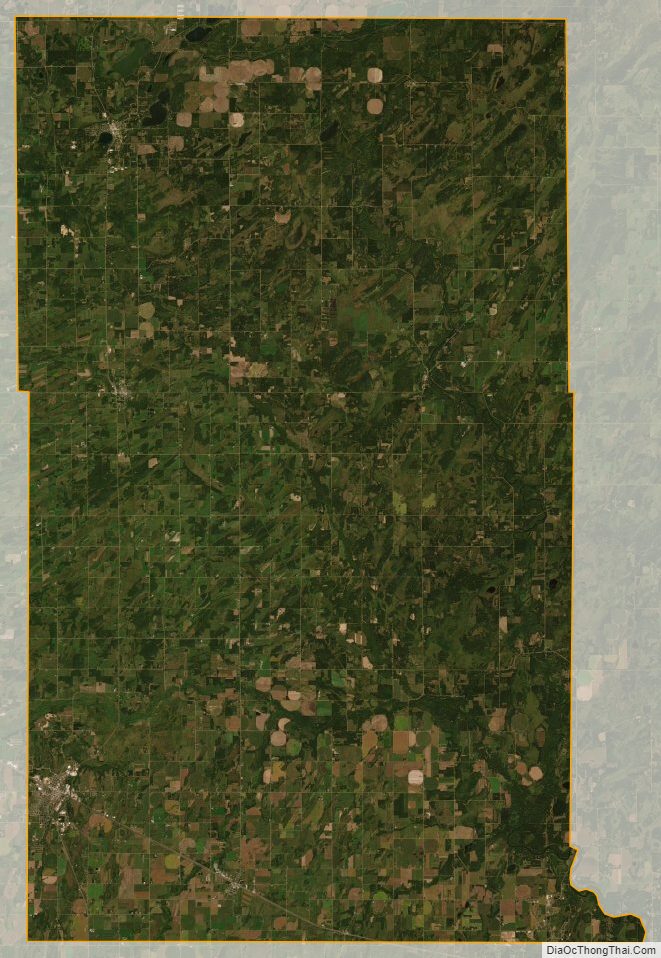
Wadena County Satellite Map
Wadena County Outline Map