Wadena (/wəˈdiːnə/ wə-DEEN-ə) is a city in Otter Tail and Wadena counties in the State of Minnesota. It is about one hundred sixty miles northwest of the Minneapolis – Saint Paul metro area. The population was 4,325 at the 2020 census. It is the county seat of Wadena County.
Wadena is an agricultural community and serves as a region hub for the Tri county area. Wadena is located at the crossroads of Highway 10 and Highway 71. There is many small businesses in town with several large businesses in town. Some of those large employers include Tri County Health Care, Homecrest Outdoor Furniture, Mason Brothers Wholesale Grocery, Russ Davis Wholesale, Kern Laser Technology, Timber Roots Trussing, Ag Reliant, and Willis Rubber Company.
| Name: | Wadena city |
|---|---|
| LSAD Code: | 25 |
| LSAD Description: | city (suffix) |
| State: | Minnesota |
| County: | Otter Tail County, Wadena County |
| Founded: | 1871 |
| Incorporated: | 1881 |
| Elevation: | 1,352 ft (412 m) |
| Total Area: | 5.38 sq mi (13.93 km²) |
| Land Area: | 5.38 sq mi (13.93 km²) |
| Water Area: | 0.00 sq mi (0.01 km²) |
| Total Population: | 4,325 |
| Population Density: | 804.35/sq mi (310.54/km²) |
| ZIP code: | 56482 |
| Area code: | 218 |
| FIPS code: | 2767504 |
| GNISfeature ID: | 0653712 |
| Website: | wadena.org |
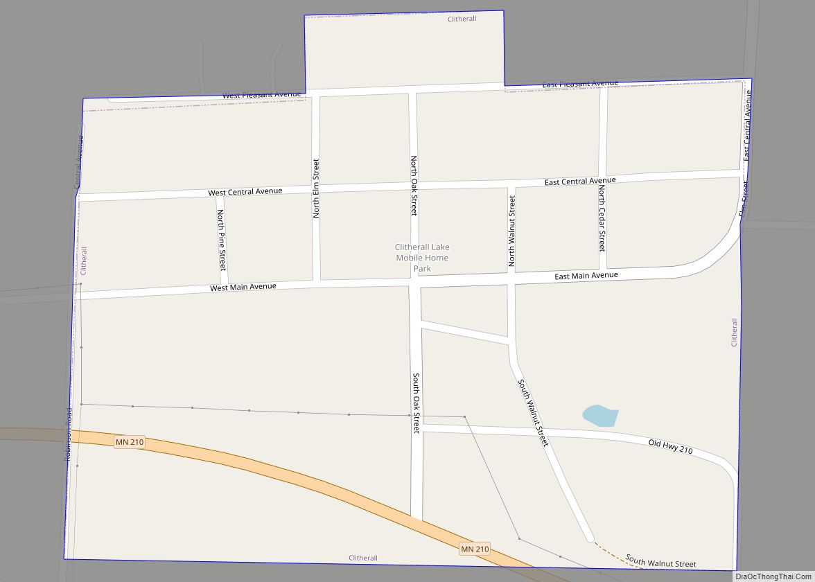
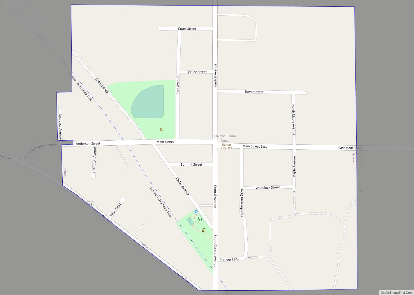
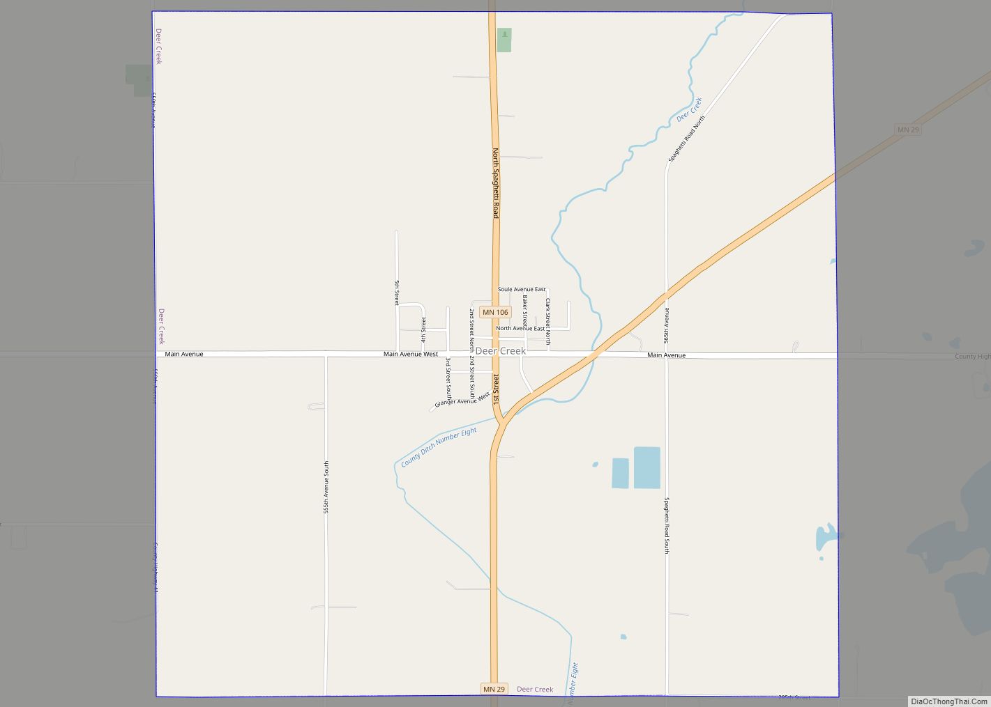
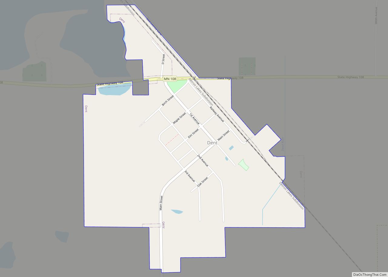
Online Interactive Map
Click on ![]() to view map in "full screen" mode.
to view map in "full screen" mode.
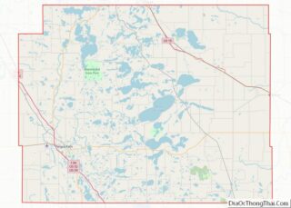
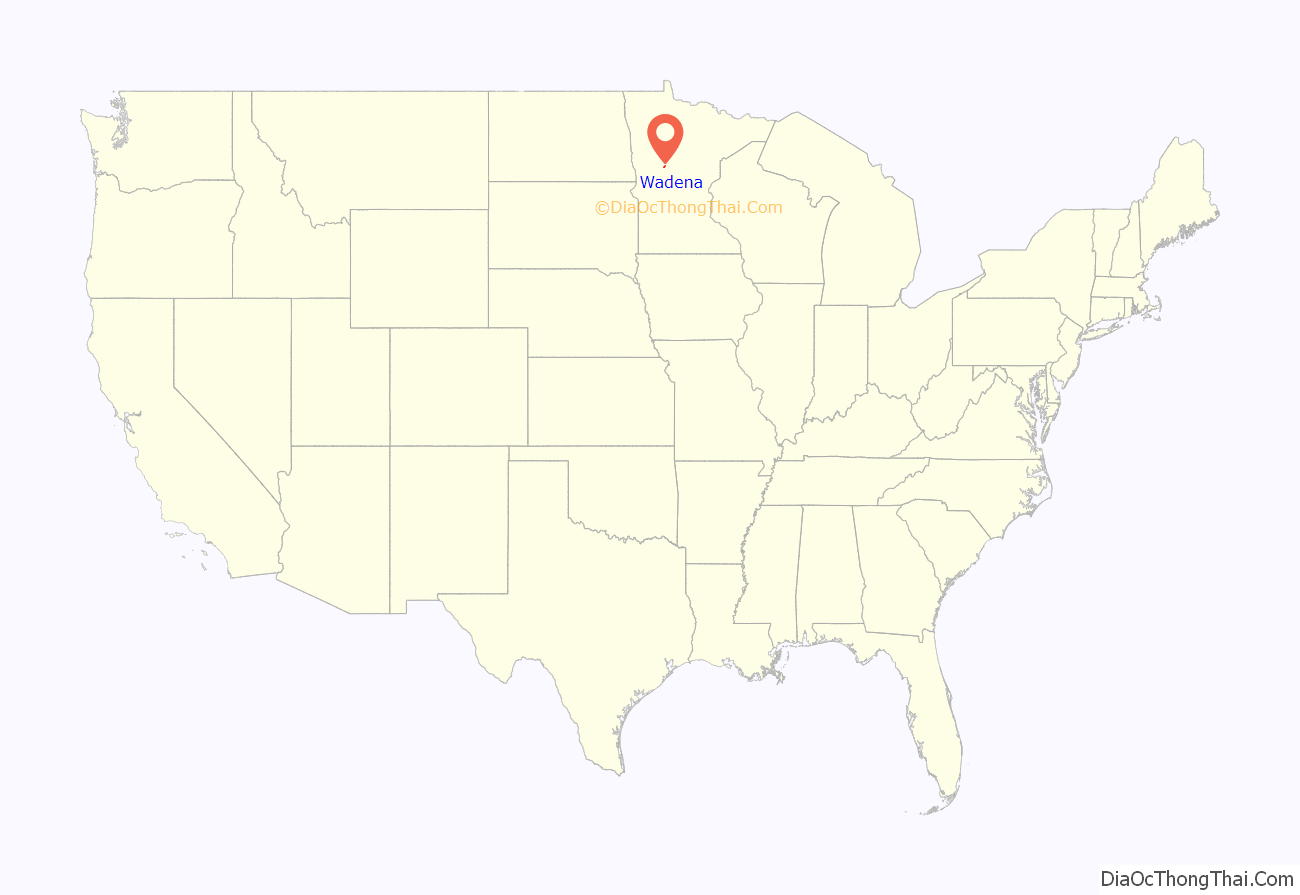
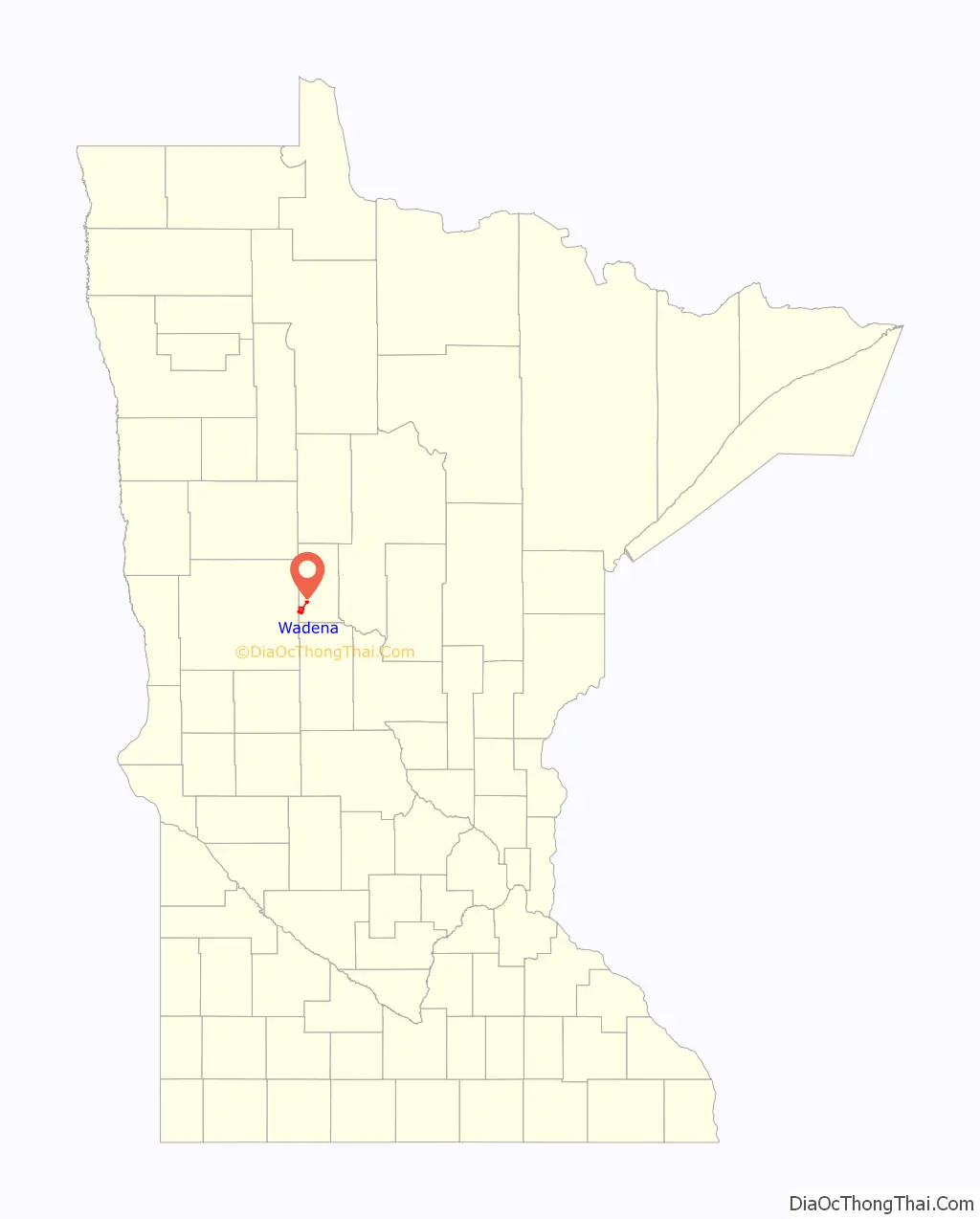
Wadena location map. Where is Wadena city?
History
The first permanent settlement at Wadena was made in 1871. The city is named after Chief Wadena, an Ojibwe Indian chief of the late 19th century in northwestern Minnesota. A post office has been in operation at Wadena since 1873. Wadena was incorporated in 1881. Four properties in Wadena are listed on the National Register of Historic Places: the Commercial Hotel built circa 1885, the Wadena Fire and City Hall built in 1912, the Northern Pacific Passenger Depot built in 1915, and the Peterson-Biddick Seed and Feed Company built 1916–1936.
2010 tornado
On June 17, 2010, Wadena was hit by an EF-4 tornado that cut a quarter-mile-wide path of destruction through the town. The Wadena tornado was part of the largest single day tornado outbreak in Minnesota state history, 48 tornados were recorded that day. The tornado that struck Wadena was over a mile wide at its peak, packed winds of up to 170 miles per hour, and was on the ground for about 10 miles. At least 232 homes were damaged in the city accounting for roughly 30% of homes in the city. Though no one in the town was killed, 34 people were treated for injuries at local hospitals. The Community Center was damaged “beyond repair”, and the high school was also severely damaged. Both were later torn down and rebuilt. The city continues to recover with roughly 20 lots abandoned throughout the city. City officials are encouraging rebuilding by offering tax free land incentives. The Wadena Tornado was covered extensively on the December 1, 2010, episode of the Discovery Channel series Storm Chasers.
In the aftermath of the tornado, students from the high school attended classes at the Wadena campus of Minnesota State Community and Technical College, at a school that was previously no longer in use in nearby Deer Creek (Deer Creek having consolidated with Wadena in 1991), and at the Wadena Elementary School. In order to accommodate the high school students, some early childhood classes at the Elementary School were further moved to Saint Ann’s Catholic School. Outdoor athletics were largely unaffected, but home volleyball and basketball games were played in the Elementary School gymnasium.
In fall of 2012, a new Middle-High School was opened. In addition directly to the north of the high school, in the fall of 2014, a Wellness Center was opened. The Maslowski Wellness and Research Center opened with a large aquatic center with a water slide, several multipurpose gymnasiums, a therapeutic pool, and a large workout facility.
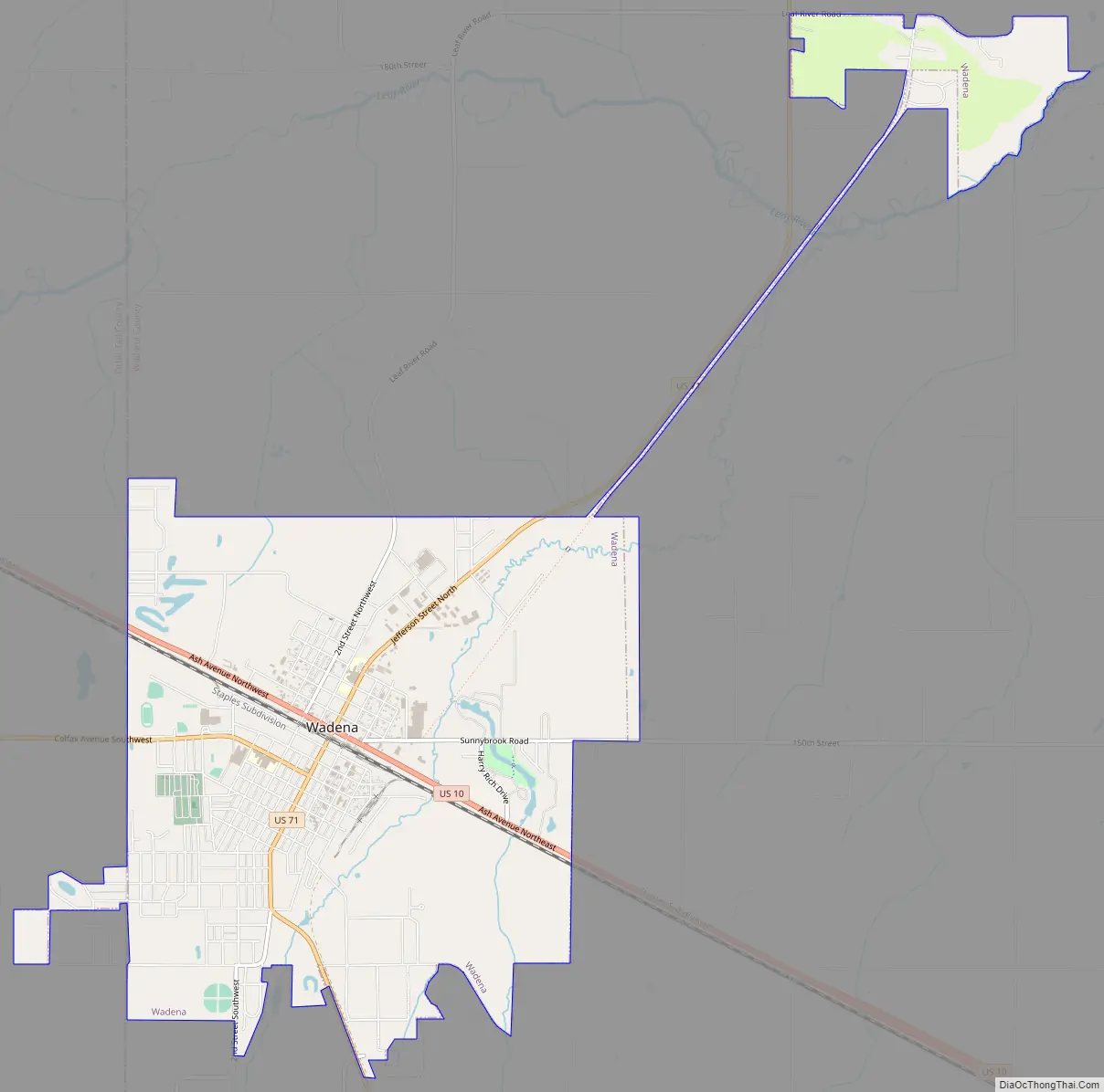
Wadena Road Map
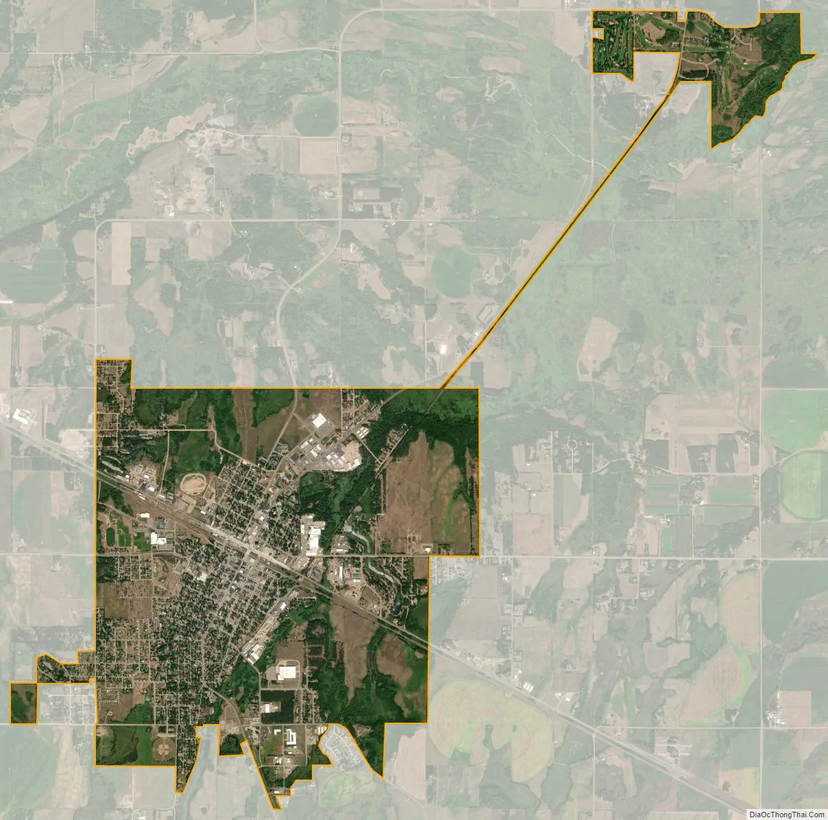
Wadena city Satellite Map
Geography
According to the United States Census Bureau, the city has a total area of 5.38 square miles (13.93 km), all of it land.
U.S. Highways 10 and 71 and Minnesota State Highway 29 are three of the main routes in the city.
See also
Map of Minnesota State and its subdivision:- Aitkin
- Anoka
- Becker
- Beltrami
- Benton
- Big Stone
- Blue Earth
- Brown
- Carlton
- Carver
- Cass
- Chippewa
- Chisago
- Clay
- Clearwater
- Cook
- Cottonwood
- Crow Wing
- Dakota
- Dodge
- Douglas
- Faribault
- Fillmore
- Freeborn
- Goodhue
- Grant
- Hennepin
- Houston
- Hubbard
- Isanti
- Itasca
- Jackson
- Kanabec
- Kandiyohi
- Kittson
- Koochiching
- Lac qui Parle
- Lake
- Lake of the Woods
- Lake Superior
- Le Sueur
- Lincoln
- Lyon
- Mahnomen
- Marshall
- Martin
- McLeod
- Meeker
- Mille Lacs
- Morrison
- Mower
- Murray
- Nicollet
- Nobles
- Norman
- Olmsted
- Otter Tail
- Pennington
- Pine
- Pipestone
- Polk
- Pope
- Ramsey
- Red Lake
- Redwood
- Renville
- Rice
- Rock
- Roseau
- Saint Louis
- Scott
- Sherburne
- Sibley
- Stearns
- Steele
- Stevens
- Swift
- Todd
- Traverse
- Wabasha
- Wadena
- Waseca
- Washington
- Watonwan
- Wilkin
- Winona
- Wright
- Yellow Medicine
- Alabama
- Alaska
- Arizona
- Arkansas
- California
- Colorado
- Connecticut
- Delaware
- District of Columbia
- Florida
- Georgia
- Hawaii
- Idaho
- Illinois
- Indiana
- Iowa
- Kansas
- Kentucky
- Louisiana
- Maine
- Maryland
- Massachusetts
- Michigan
- Minnesota
- Mississippi
- Missouri
- Montana
- Nebraska
- Nevada
- New Hampshire
- New Jersey
- New Mexico
- New York
- North Carolina
- North Dakota
- Ohio
- Oklahoma
- Oregon
- Pennsylvania
- Rhode Island
- South Carolina
- South Dakota
- Tennessee
- Texas
- Utah
- Vermont
- Virginia
- Washington
- West Virginia
- Wisconsin
- Wyoming