Staples is a city in Todd and Wadena counties in the U.S. state of Minnesota. The population was 2,989 at the 2020 census.
| Name: | Staples city |
|---|---|
| LSAD Code: | 25 |
| LSAD Description: | city (suffix) |
| State: | Minnesota |
| County: | Todd County, Wadena County |
| Founded: | 1889 |
| Incorporated: | 1906 |
| Elevation: | 1,280 ft (390 m) |
| Total Area: | 4.77 sq mi (12.34 km²) |
| Land Area: | 4.76 sq mi (12.33 km²) |
| Water Area: | 0.01 sq mi (0.01 km²) |
| Total Population: | 2,989 |
| Population Density: | 627.81/sq mi (242.39/km²) |
| ZIP code: | 56479 |
| Area code: | 218 |
| FIPS code: | 2762446 |
| GNISfeature ID: | 0652547 |
| Website: | staples.gov |
Online Interactive Map
Click on ![]() to view map in "full screen" mode.
to view map in "full screen" mode.
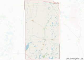
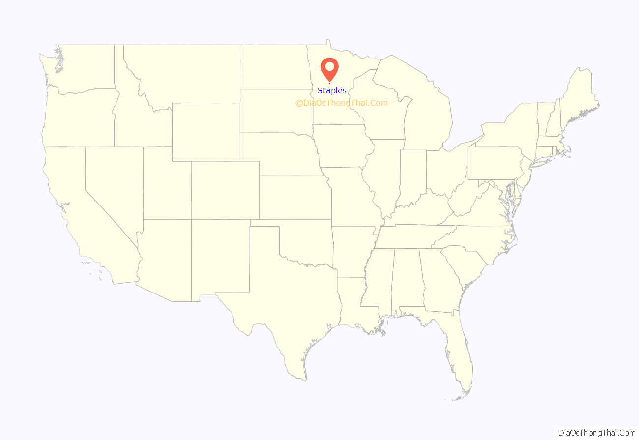
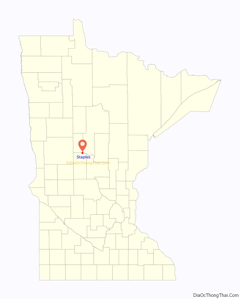
Staples location map. Where is Staples city?
History
Staples developed around a sawmill. The settlement was originally called Staples Mill, and under the latter name was platted in 1889, and named for Samuel and Isaac Staples, businessmen in the lumber industry.
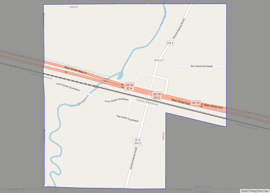
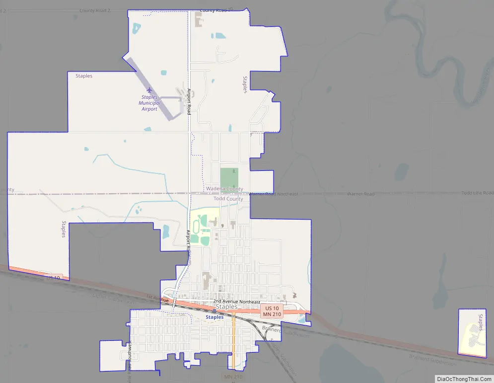
Staples Road Map
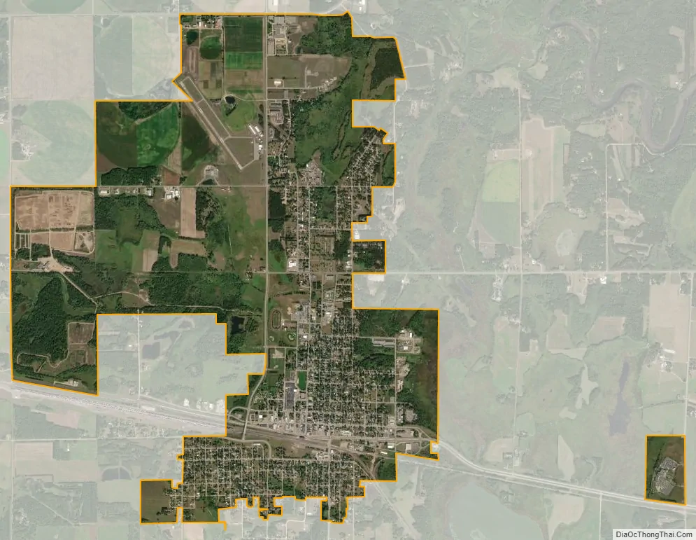
Staples city Satellite Map
Geography
According to the United States Census Bureau, the city has a total area of 4.68 square miles (12.12 km); 4.67 square miles (12.10 km) is land and 0.01 square miles (0.03 km) is water.
U.S. Route 10 and Minnesota State Highway 210 are two of the main routes in the city. The Empire Builder, an Amtrak route connecting Chicago with Seattle and Portland, Oregon, stops at the train station in Staples.
See also
Map of Minnesota State and its subdivision:- Aitkin
- Anoka
- Becker
- Beltrami
- Benton
- Big Stone
- Blue Earth
- Brown
- Carlton
- Carver
- Cass
- Chippewa
- Chisago
- Clay
- Clearwater
- Cook
- Cottonwood
- Crow Wing
- Dakota
- Dodge
- Douglas
- Faribault
- Fillmore
- Freeborn
- Goodhue
- Grant
- Hennepin
- Houston
- Hubbard
- Isanti
- Itasca
- Jackson
- Kanabec
- Kandiyohi
- Kittson
- Koochiching
- Lac qui Parle
- Lake
- Lake of the Woods
- Lake Superior
- Le Sueur
- Lincoln
- Lyon
- Mahnomen
- Marshall
- Martin
- McLeod
- Meeker
- Mille Lacs
- Morrison
- Mower
- Murray
- Nicollet
- Nobles
- Norman
- Olmsted
- Otter Tail
- Pennington
- Pine
- Pipestone
- Polk
- Pope
- Ramsey
- Red Lake
- Redwood
- Renville
- Rice
- Rock
- Roseau
- Saint Louis
- Scott
- Sherburne
- Sibley
- Stearns
- Steele
- Stevens
- Swift
- Todd
- Traverse
- Wabasha
- Wadena
- Waseca
- Washington
- Watonwan
- Wilkin
- Winona
- Wright
- Yellow Medicine
- Alabama
- Alaska
- Arizona
- Arkansas
- California
- Colorado
- Connecticut
- Delaware
- District of Columbia
- Florida
- Georgia
- Hawaii
- Idaho
- Illinois
- Indiana
- Iowa
- Kansas
- Kentucky
- Louisiana
- Maine
- Maryland
- Massachusetts
- Michigan
- Minnesota
- Mississippi
- Missouri
- Montana
- Nebraska
- Nevada
- New Hampshire
- New Jersey
- New Mexico
- New York
- North Carolina
- North Dakota
- Ohio
- Oklahoma
- Oregon
- Pennsylvania
- Rhode Island
- South Carolina
- South Dakota
- Tennessee
- Texas
- Utah
- Vermont
- Virginia
- Washington
- West Virginia
- Wisconsin
- Wyoming