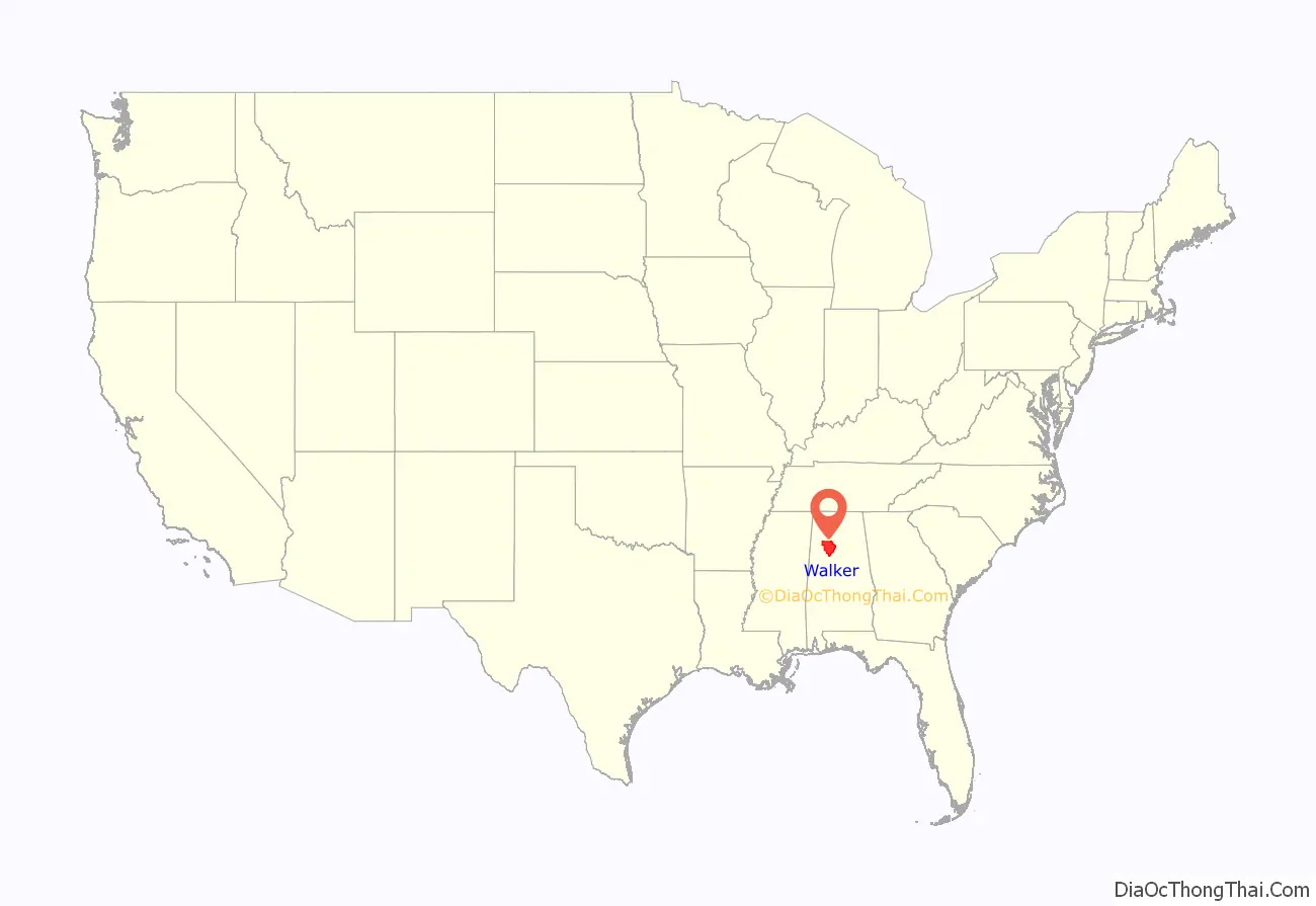
Walker County is a county located in the central portion of the U.S. state of Alabama. As of the 2020 census, the population was 65,342. Its county seat is Jasper. Its name is in honor of John Williams Walker, the first U.S. senator elected from Alabama.
Walker County comprises the entirety of the Jasper, AL Micropolitan Statistical Area.
| Name: | Walker County |
|---|---|
| FIPS code: | 01-127 |
| State: | Alabama |
| Founded: | December 26, 1823 |
| Named for: | John Williams Walker |
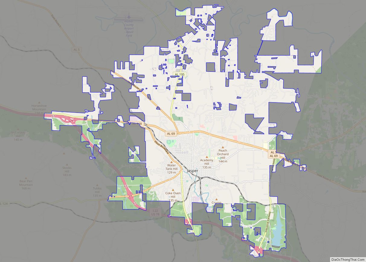
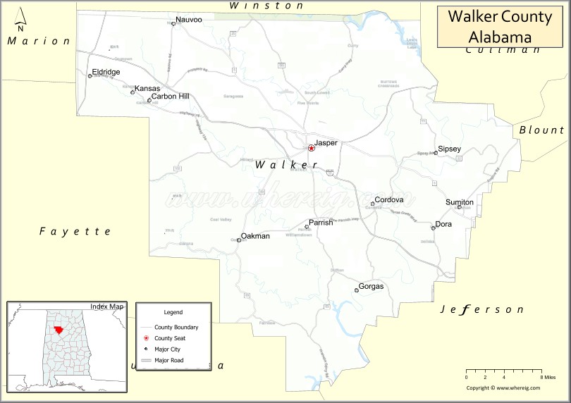
| Seat: | Jasper |
| Largest city: | Jasper |
| Total Area: | 805 sq mi (2,080 km²) |
| Land Area: | 791 sq mi (2,050 km²) |
| Total Population: | 65,342 |
| Population Density: | 81/sq mi (31/km²) |
| Time zone: | UTC−6 (Central) |
| Summer Time Zone (DST): | UTC−5 (CDT) |
| Website: | www.walkercounty.com |
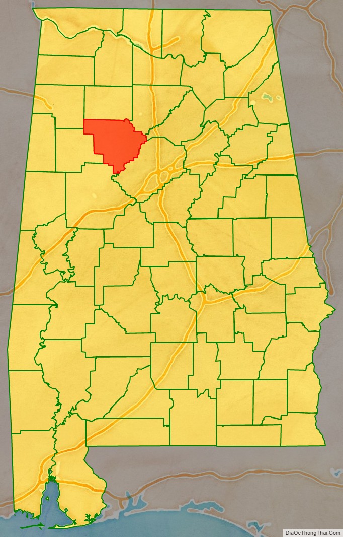
Walker County location map. Where is Walker County?
History
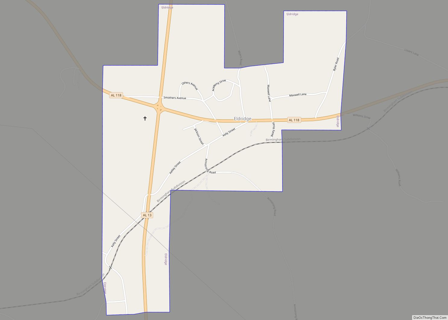
Walker County was established on December 26, 1823, and formed from sections of Marion and Tuscaloosa counties. It was named after Senator John Walker, who represented Alabama in the U.S. Senate from 1819 to 1822. The county was greatly reduced in size on February 12, 1850, when its northern half became the county of Winston. Jasper is the county seat, and was named after William Jasper, a Revolutionary War hero from South Carolina.
National Register of Historic Places
Walker County has sites listed on the National Register of Historic Places. They include the Bankhead House, Boshell’s Mill, the First United Methodist Church of Jasper, the Gilchrist House, the Jasper Downtown Historic District, the Stephenson House, and Walker County Hospital.
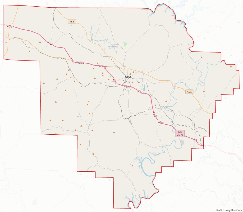
Walker County Road Map
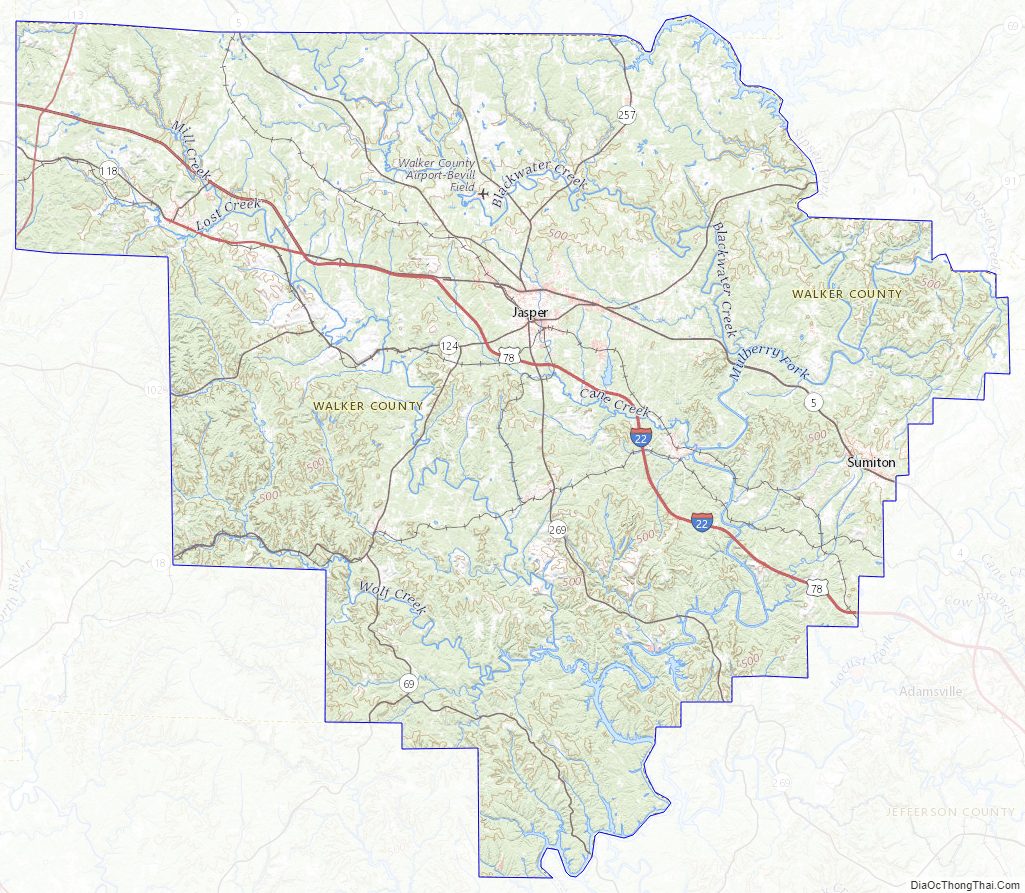
Geography
According to the U.S. Census Bureau, the county has a total area of 805 square miles (2,080 km), of which 791 square miles (2,050 km) is land and 14 square miles (36 km) (1.7%) is water. The county is located in the Cumberland Plateau region, with many plateaus and valleys, along with many forested areas, covering the county.
Adjacent counties
- Winston County (north)
- Cullman County (northeast)
- Blount County (east)
- Jefferson County (southeast)
- Tuscaloosa County (southwest)
- Fayette County (west)
- Marion County (northwest)
Walker County Topographic Map
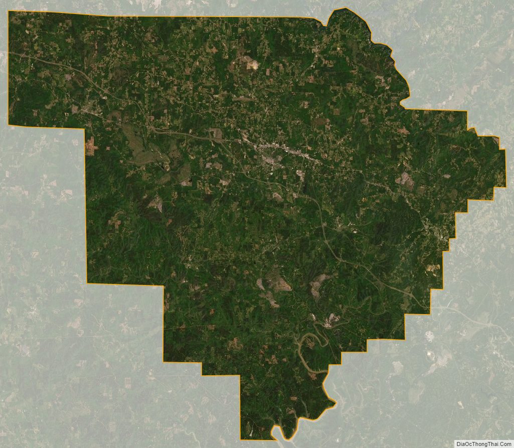
Walker County Satellite Map
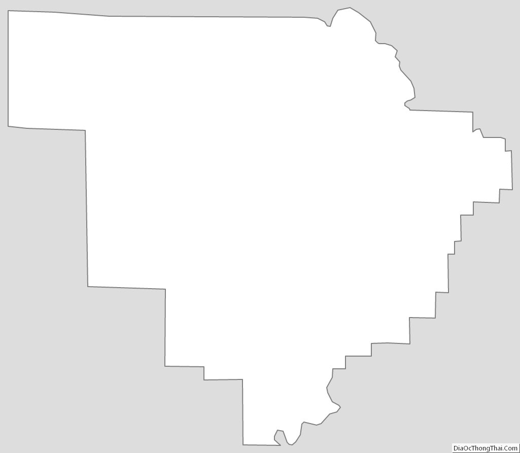
Walker County Outline Map