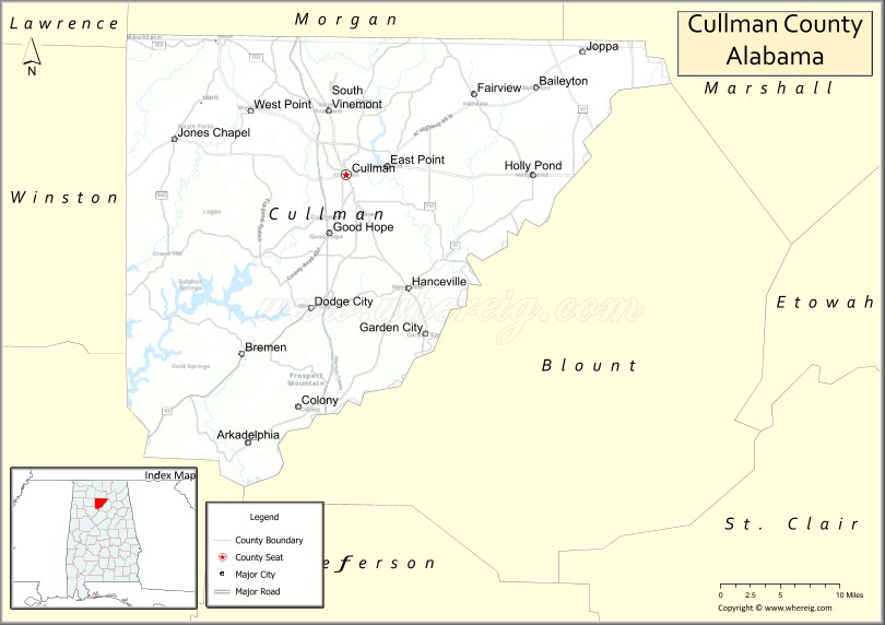
Cullman County is a county located in the north central portion of the U.S. state of Alabama. As of the 2020 census, the population was 87,866. Its county seat and largest city is Cullman. Its name is in honor of Colonel John G. Cullmann.
Cullman County comprises the Cullman, AL Micropolitan Statistical Area, which is a component of the Birmingham–Hoover–Talladega, AL Combined Statistical Area.
It is served by TV stations and FM radio stations from both Huntsville and Birmingham and is part of the designated market area, or “DMA,” of Birmingham. Cullman is a “moist” county in terms of availability of alcoholic beverages; the cities of Cullman, Good Hope, and Hanceville allow sale of alcohol and are “wet” and the rest of the county is dry.
| Name: | Cullman County |
|---|---|
| FIPS code: | 01-043 |
| State: | Alabama |
| Founded: | January 24, 1877 |
| Named for: | John G. Cullmann |
| Seat: | Cullman |
| Largest city: | Cullman |
| Total Area: | 755 sq mi (1,960 km²) |
| Land Area: | 735 sq mi (1,900 km²) |
| Total Population: | 87,866 |
| Population Density: | 120/sq mi (45/km²) |
| Time zone: | UTC−6 (Central) |
| Summer Time Zone (DST): | UTC−5 (CDT) |
| Website: | www.co.cullman.al.us |
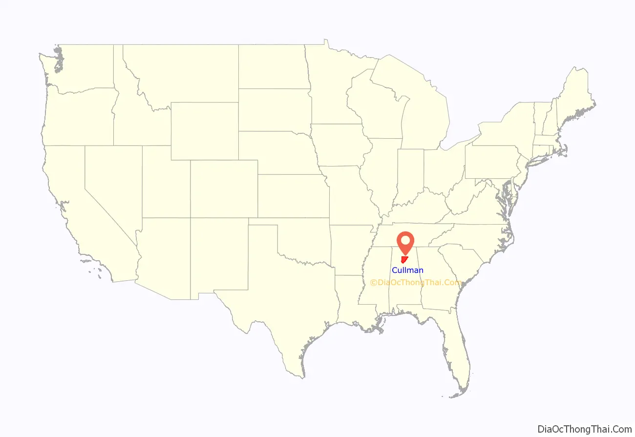
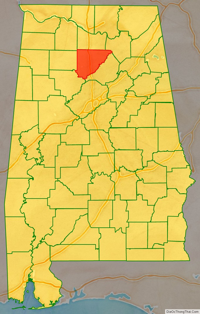
Cullman County location map. Where is Cullman County?
History
This area was inhabited for thousands of years by varying cultures of indigenous peoples. The historic Cherokee and Choctaw lived here at the time of European encounter, with the Cherokee moving in after the American Revolutionary War and in response to pressures from northern areas. Their settlements in Alabama were known as the Lower Towns.
People claiming descent from Cherokee who remained in the county after Indian Removal in the 1830s, organized as the “Echota Cherokee Tribe of Alabama” in the 1980s. The tribe was recognized by the state in 1984 but is not federally recognized. It claims 22,000 members in the state, mostly in northern Alabama.
Cullman County was organized in 1877 primarily by German American immigrants who had moved down from Cincinnati, Ohio. They founded an agricultural community and sought to create an agricultural revolution in what had been a frontier area, in the best traditions of innovation in the New South. However, hard geographical and social realities clashed with the often impractical vision of colonizer John G. Cullmann. His Germans, with their traditional work ethic and willingness to experiment with such new products as wine and strawberries, tried to make practical changes in southern farming. The Germans were outnumbered by more traditional families from neighboring regions, who replicated the traditional southern cotton culture.
On April 27, 2011, Cullman was hit by an EF4 tornado from the 2011 Super Outbreak.
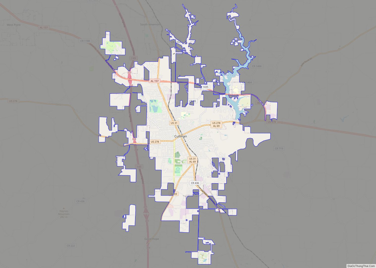
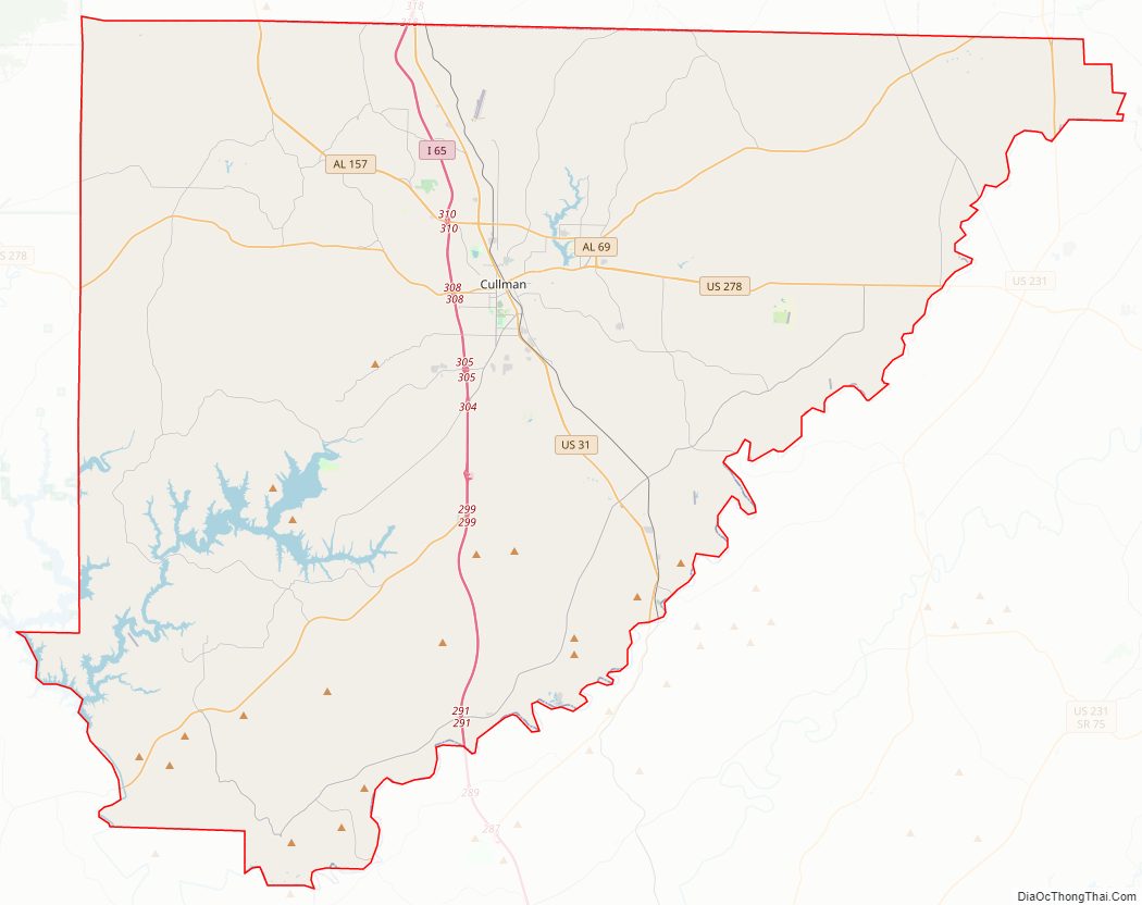
Cullman County Road Map
Geography
According to the United States Census Bureau, the county has a total area of 755 square miles (1,960 km), of which 735 square miles (1,900 km) is land and 20 square miles (52 km) (2.7%) is water.
Adjacent counties
- Morgan County (north)
- Marshall County (northeast)
- Blount County (east)
- Walker County (southwest)
- Winston County (west)
- Lawrence County (northwest)
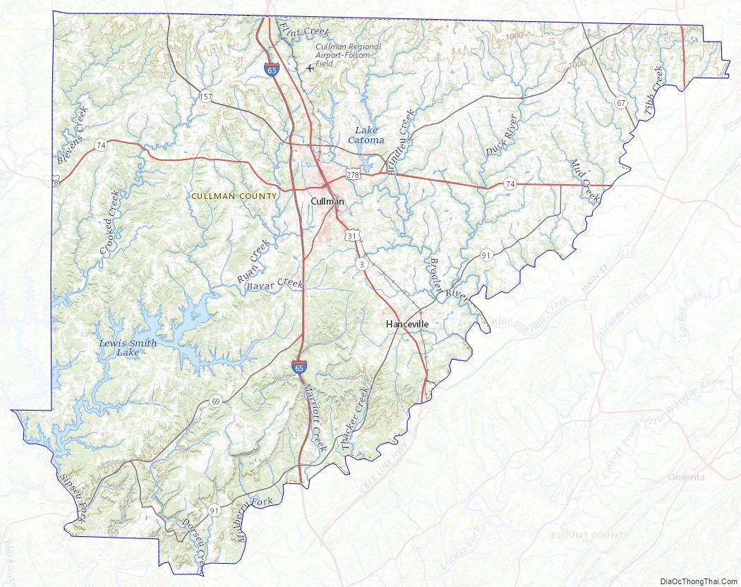
Cullman County Topographic Map
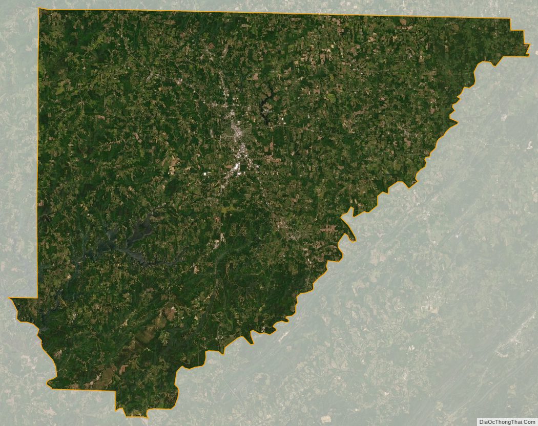
Cullman County Satellite Map
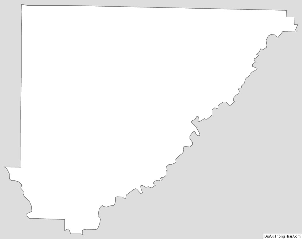
Cullman County Outline Map