| Name: | Whatcom County |
|---|---|
| FIPS code: | 53-073 |
| State: | Washington |
| Founded: | March 9, 1854 |
| Named for: | Chief Whatcom |
| Seat: | Bellingham |
| Largest city: | Bellingham |
| Total Area: | 2,503 sq mi (6,480 km²) |
| Land Area: | 2,107 sq mi (5,460 km²) |
| Total Population: | 226,847 |
| Population Density: | 103/sq mi (40/km²) |
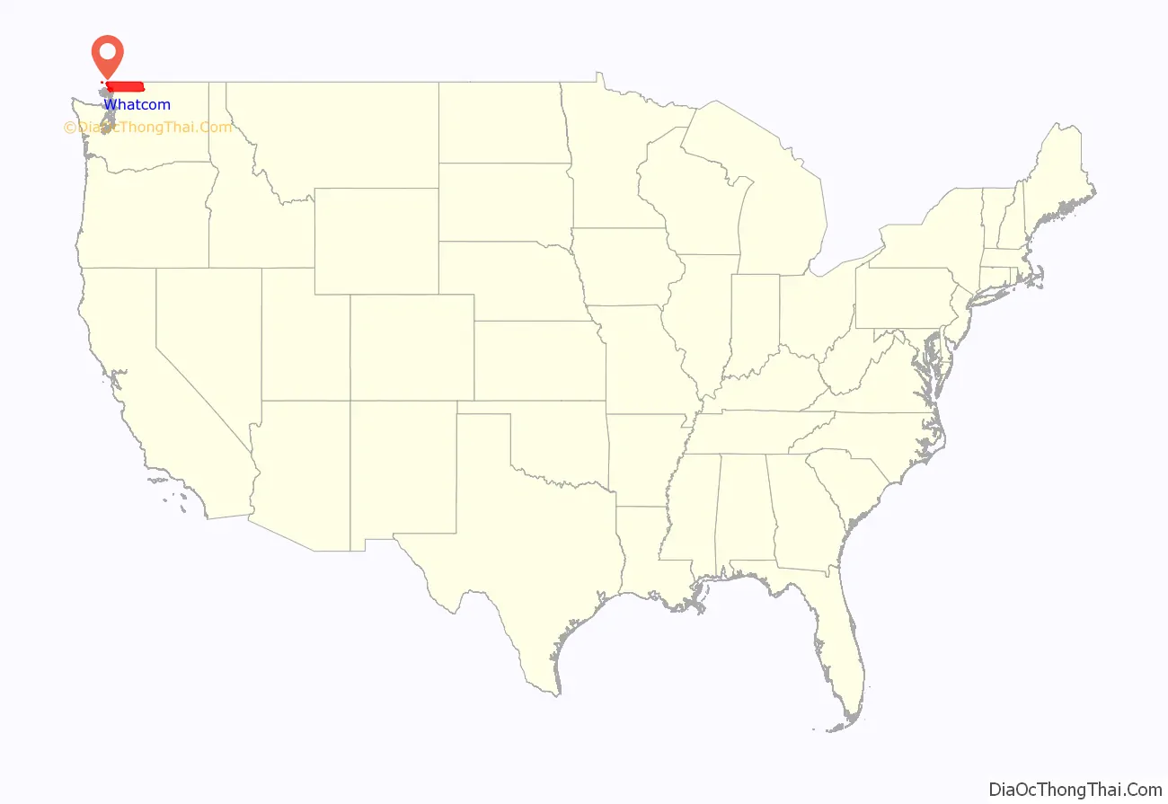
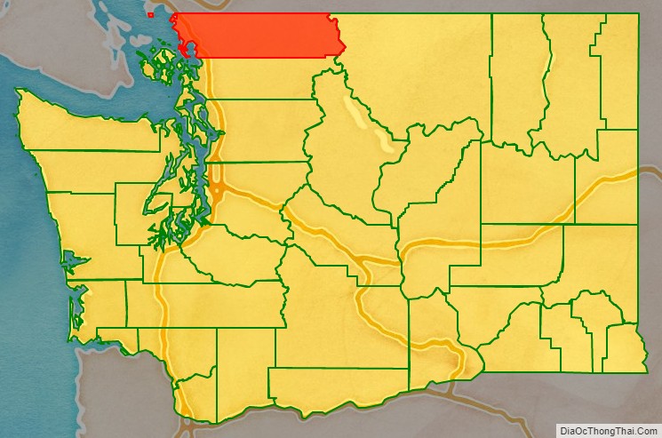
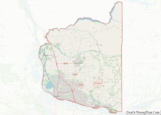
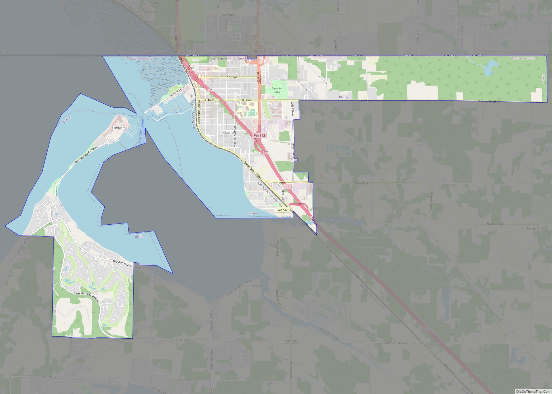
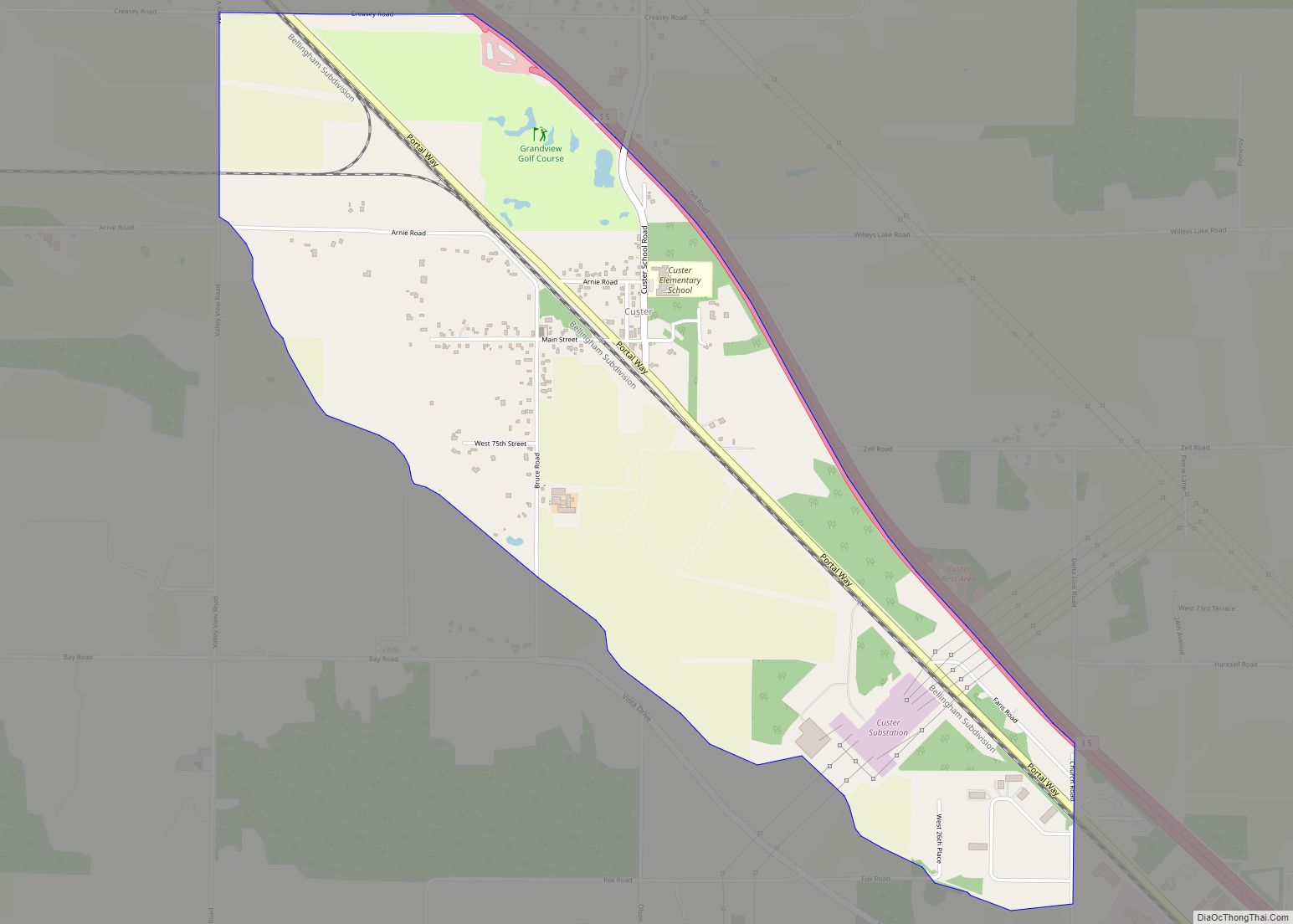
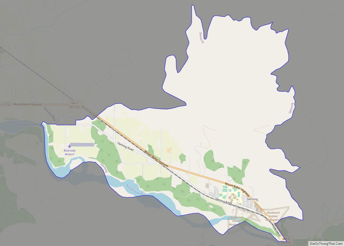
Whatcom County location map. Where is Whatcom County?
History
The Whatcom County area has known human habitation for at least twelve millennia. At least three aboriginal tribes have been identified in the area: Lummi (San Juan Islands, between Point Whitehorn and Chuckanut Bay), Nooksack (between Lynden and Maple Falls) and Semiahmoo (the northern portion, near Blaine).
This area was part of the Oregon Country at the start of the nineteenth century, inhabited both by fur prospectors from Canada and Americans seeking land for agricultural and mineral-extraction opportunities. Unable to resolve which country should control this vast area, the Treaty of 1818 provided for joint control. In 1827 the Hudson’s Bay Company established Fort Langley near present Lynden.
By 1843, the Provisional Government of Oregon had been established, although at first there were questions as to its authority and extent. During its existence, that provisional government formed the area north of the Columbia River first into the Washington Territory, and then (December 19, 1845) into two vast counties: Clark and Lewis. In 1852, a portion of Lewis County was partitioned off to form Thurston County, and in 1853 a portion of the new county was partitioned off to form Island County.
The Washington Territory was formed as a separate governing entity in 1853. In 1854, that legislature carved several counties out of the existing counties, including Whatcom County on March 9, 1854, with area taken from Island County. The original county boundary was reduced in 1873 by the formation of San Juan County, and again in 1883 by the formation of Skagit County.
In 1855 the settlers erected a blockhouse west of Whatcom Creek, to protect against forays from the aboriginal inhabitants who were attempting to defend their homelands. That year the Treaty of Point Elliott was signed, which assigned the Lummi and Semiahmoo peoples a greatly-restricted reserved area.
The short-lived Fraser Canyon Gold Rush (1857–58) caused a short-term increase in the county’s population, which briefly swelled to over 10,000 before the bubble burst.
In 1857 the federal government began the field work necessary to establish the national border between the United States and Canada, which had been agreed on as the forty-ninth parallel in this area, and which would also mark the north line of Whatcom County. As the work moved east, several of the workers chose to remain in the area as settlers.
Whatcom County Road Map
Geography
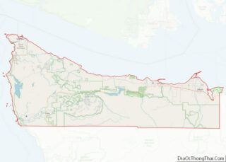
According to the United States Census Bureau, the county has a total area of 2,503 square miles (6,480 km), of which 2,107 square miles (5,460 km) is land and 397 square miles (1,030 km) (16%) is covered by water.
Western Whatcom County is part of the Fraser Lowland, the plain of the Fraser River, most of which is in the Lower Mainland of British Columbia. At some periods in the past, one of the Fraser River’s distributaries entered Bellingham Bay near Bellingham via what is now the mouth of the Nooksack River.
The remainder of Whatcom County is in the Cascade Range, including Mount Baker. In their foothills is Lake Whatcom, which is drained by Whatcom Creek into Bellingham Bay.
A small part of the county, Point Roberts, about 5 square miles (13 km), is an extension of the Tsawwassen Peninsula, which is bisected by the Canada–US border along the 49th parallel. The highest point in the county is the peak of the active volcano Mount Baker at 10,778 feet (3,285 m) above sea level. The lowest points are at sea level along the Salish Sea, an arm of the Pacific Ocean.
Geographic features
- Bellingham Bay
- Birch Bay
- Cascade Mountains
- Chuckanut Mountains
- Mount Baker, highest point in Whatcom County
- American Border Peak
- Sumas Mountain
- Mount Shuksan
- Chilliwack River/Chilliwack Lake
- Eliza Island
- Lake Whatcom
- Lummi Island
- Lummi Bay
- Nooksack River
- North Lookout Mountain, known locally as Galbraith Mountain
- Portage Island
- Semiahmoo Bay
- Semiahmoo Spit
- Skagit River/Ross Lake
- Sumas River
National protected areas
- Mount Baker National Recreation Area
- Mount Baker-Snoqualmie National Forest (part)
- North Cascades National Park (part)
- Ross Lake National Recreation Area (part)
- Pacific Northwest National Scenic Trail (part)
State protected areas
- Birch Bay State Park
- Lake Terrell Wildlife Refuge
- Larrabee State Park
- Lookout Mountain (DNR)
- Lummi Island (part) (DNR)
- Stewart Mountain (DNR)
- Lake Whatcom Watershed
Major highways
- Interstate 5 connecting with Seattle, Portland, Sacramento, Los Angeles, San Diego and points south.
- SR 20 connecting US 101 and Sidney, British Columbia with Newport, Washington via the North Cascades Highway. Farthest north highway thru the Cascade Mountains in USA. Note that this highway does not connect to most of Whatcom County – Instead, a person would have to travel south to Sedro-Woolley in Skagit County to connect to Highway 20.
- Alaska Marine Highway connecting Alaska highways to the Interstate Highway System.
Adjacent counties
- Metro Vancouver Regional District, British Columbia– north
- Fraser Valley Regional District, British Columbia – northeast
- Cowichan Valley Regional District, British Columbia – west
- Capital Regional District, British Columbia – west
- Okanogan County – east
- San Juan County – southwest
- Skagit County – south
