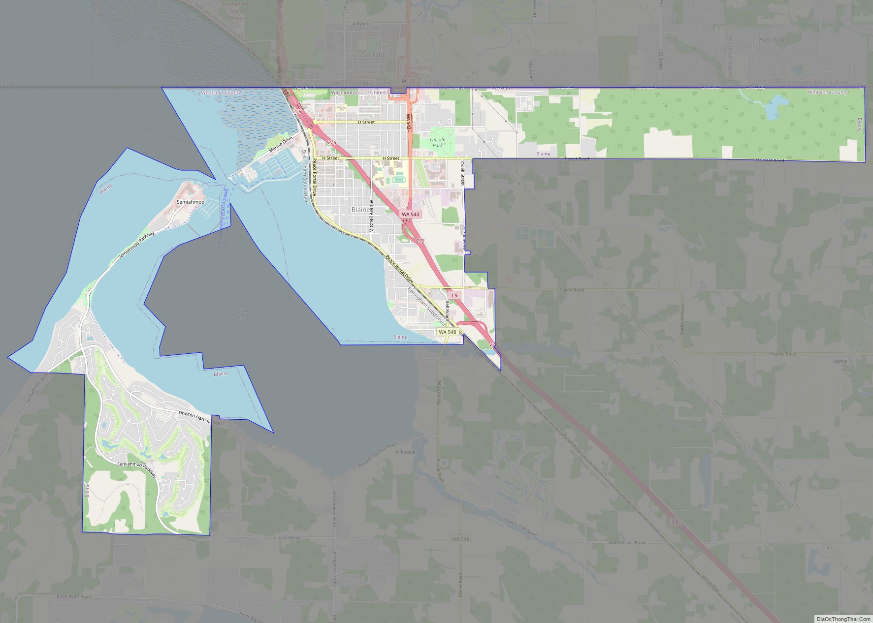
Bellingham (/ˈbɛlɪŋhæm/ BEL-ing-ham) is the most populous city in, and county seat of Whatcom County in the U.S. state of Washington. It lies 21 miles (34 km) south of the U.S.–Canada border and in between Vancouver, British Columbia (located 52 miles (84 km) to the northwest) and Seattle (90 miles (140 km) to the south). The city had a population of 91,482 as of the 2020 census. It is the site of Western Washington University. Bellingham is the northernmost city with a population of more than 90,000 people in the contiguous United States.
237 acres of former industrial land on the Bellingham waterfront is currently undergoing redevelopment, representing a significant turn from Bellingham’s industrial past, and the first time new buildings have been built on Bellingham’s Waterfront in decades.
| Name: | Bellingham city |
|---|---|
| LSAD Code: | 25 |
| LSAD Description: | city (suffix) |
| State: | Washington |
| County: | Whatcom County |
| Incorporated: | December 28, 1903 |
| Elevation: | 69 ft (22 m) |
| Land Area: | 28.14 sq mi (72.88 km²) |
| Water Area: | 2.37 sq mi (6.14 km²) |
| Population Density: | 3,280.41/sq mi (1,266.58/km²) |
| ZIP code: | 98225-98229 |
| FIPS code: | 5305280 |
| GNISfeature ID: | 1512001 |
| Website: | cob.org |
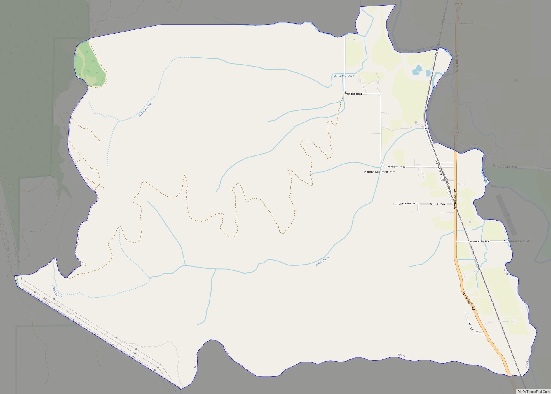
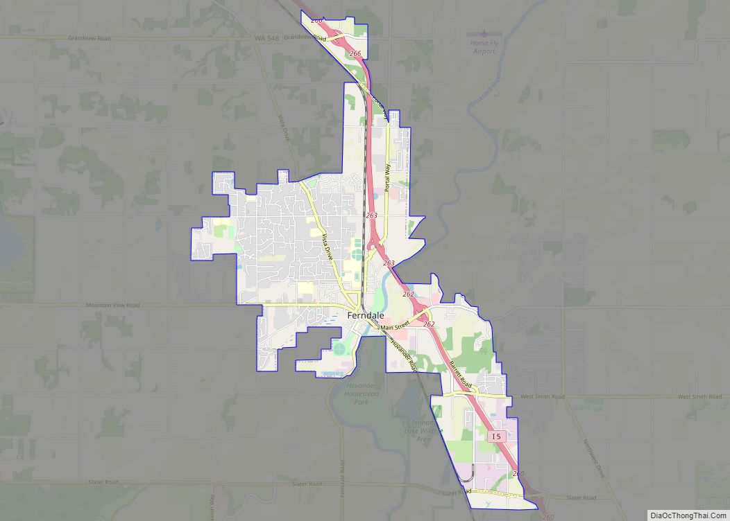
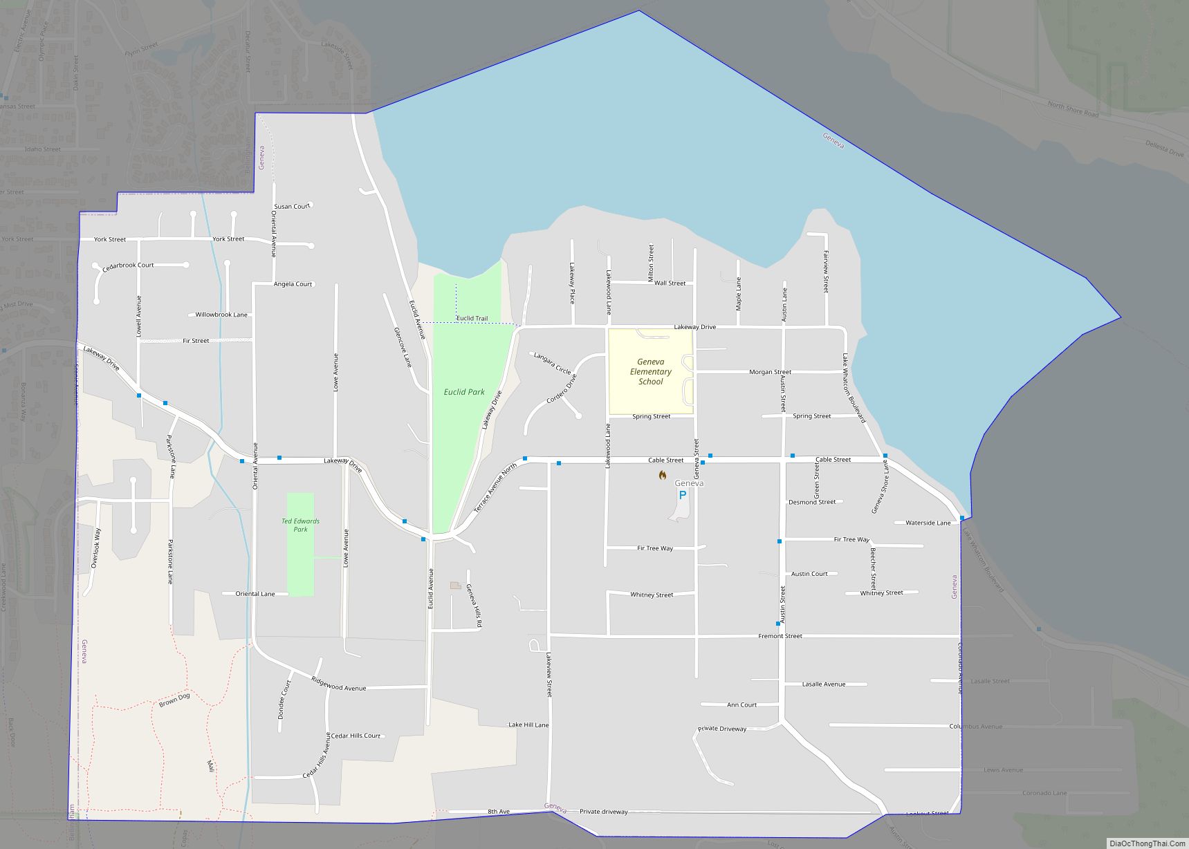
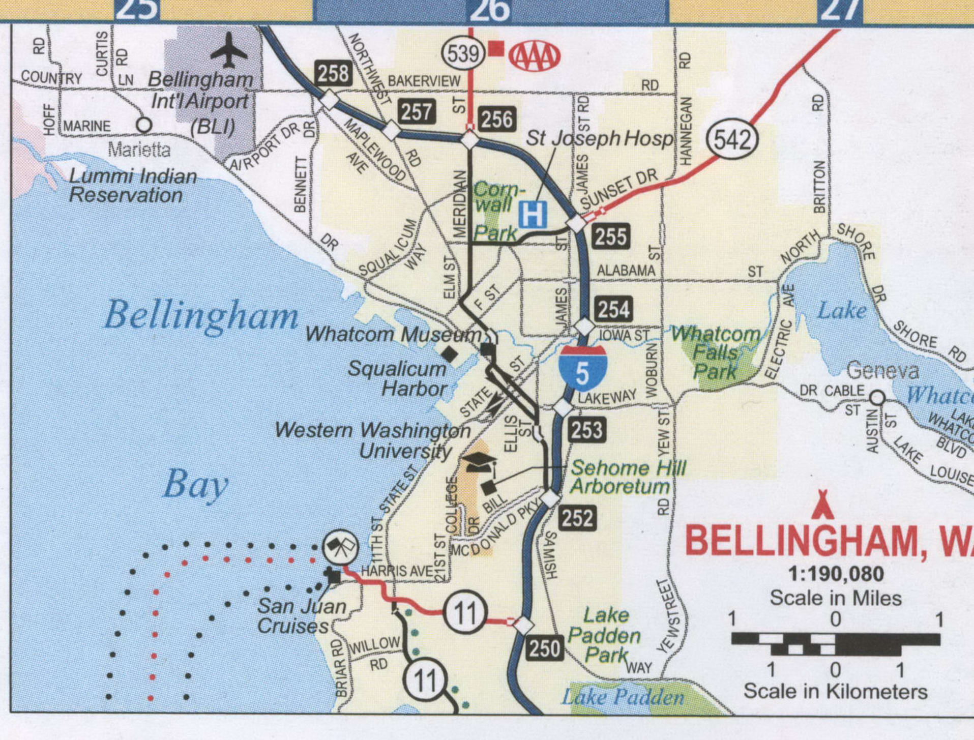
Online Interactive Map
Click on ![]() to view map in "full screen" mode.
to view map in "full screen" mode.
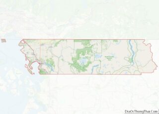
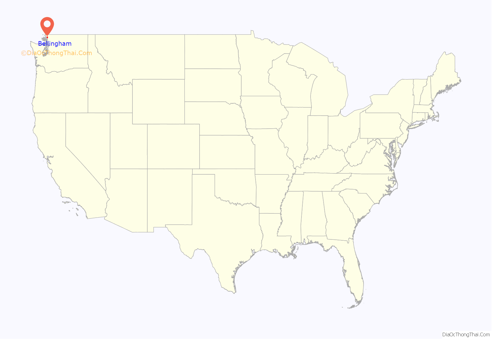
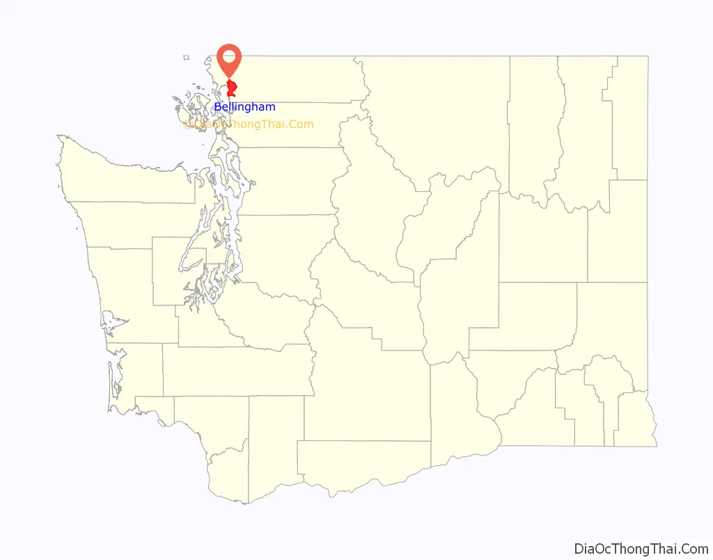
Bellingham location map. Where is Bellingham city?
History
The city of Bellingham, incorporated in 1903, consolidated four settlements: Bellingham, Whatcom, Fairhaven, and Sehome. It takes its name from Bellingham Bay, named by George Vancouver in 1792, for Sir William Bellingham.
Bellingham is the homeland of Coast Salish peoples of the Lummi (or Lhaq’temish) People and neighboring tribes. People of Lummi ancestry continue to live in and around Bellingham Bay, particularly on the nearby Lummi Nation reservation.
The first European immigrants reached the area about 1852 when Henry Roeder and Russel Peabody set up a lumber mill at Whatcom, now the northern part of Bellingham. Lumber cutting and milling continues to the present in Whatcom county. At about the same time, Dan Harris arrived, claiming a homestead along Padden Creek, and after acquiring surrounding properties, platted the town of Fairhaven in 1883. In 1858, the Fraser Canyon Gold Rush caused a short lived population growth that established the community.
Coal was mined in the Bellingham Bay area from the mid-19th to the mid-20th centuries starting when Henry Roeder’s agents discovered coal south of Whatcom Creek, in an area called Sehome, now downtown Bellingham, in 1854. They sold the coal-bearing land to San Francisco investors who established the Bellingham Bay Coal Company, eventually a subsidiary of the Black Diamond Coal Mining Company. After a hundred years of extensive mining beneath present-day Bellingham, the last mine closed in 1955.
In the early 1890s, three railroad lines arrived, connecting the bay cities to a nationwide market of builders. In 1889, Pierre Cornwall and an association of investors formed the Bellingham Bay Improvement Company (BBIC). The BBIC invested in several diverse enterprises such as shipping, coal, mining, railroad construction, real estate sales and utilities. Even though their dreams of turning the cities by the bay into a Pacific Northwest metropolis never came to fruition, the BBIC made an immense contribution to the economic development of Bellingham.
BBIC was not the only outside firm with an interest in the bay area utilities. The General Electric Company of New York purchased the Fairhaven Line and New Whatcom street rail line in 1897. In 1898, the utility merged into the Northern Railway and Improvement Company which prompted the Electric Corporation of Boston to purchase a large block of shares.
In 1890, Fairhaven developers bought the tiny community of Bellingham. Whatcom and Sehome merged in 1891 to form New Whatcom (1903 act of the State legislature dropped “New” from the name.) At first, attempts to combine Fairhaven and Whatcom failed, and there was controversy over the name of the proposed new city. Whatcom citizens would not support a city named Fairhaven, and Fairhaven residents would not support a city named Whatcom. They eventually settled on the name Bellingham, which remains today. Voting a second time for a final merger of Fairhaven and Whatcom into a single city, the resolution passed with 2163 votes for and 596 against.
Bellingham was officially incorporated on December 28, 1903, as a result of the incremental consolidation of the four towns initially situated on the east of Bellingham Bay during the final decade of the 19th Century. Whatcom is today’s “Old Town” area and was founded with Roeder’s Mill in 1852. Sehome was an area of downtown founded with the Sehome Coal Mine in 1854. Bellingham was further south near Boulevard Park, founded in 1883 and purchased in 1890 by Fairhaven. Fairhaven was a large commercial district with its own harbor, founded in 1883, by Dan Harris, around his initial homestead on Padden Creek.
Bellingham was the site of the Bellingham riots against East Indian (Sikh) immigrant workers in 1907. A mob of 400–500 white men, predominantly members of the Asiatic Exclusion League, with intentions to exclude East Indian immigrants from the work force of the local lumber mills, attacked the homes of the South Asian Indians. The Indians were mostly Sikhs but were labeled as Hindus by much of the media of the day.
Bellingham’s proximity to the Strait of Juan de Fuca and to the Inside Passage to Alaska helped to retain some cannery operations. Pacific American Fisheries (P.A.F.), for example, shipped empty cans to Alaska, where they were packed with fish and shipped back.
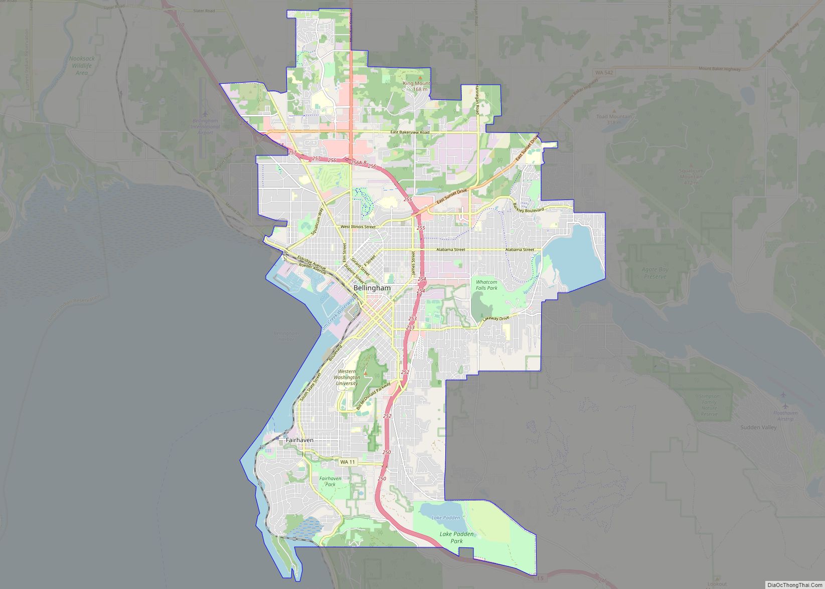
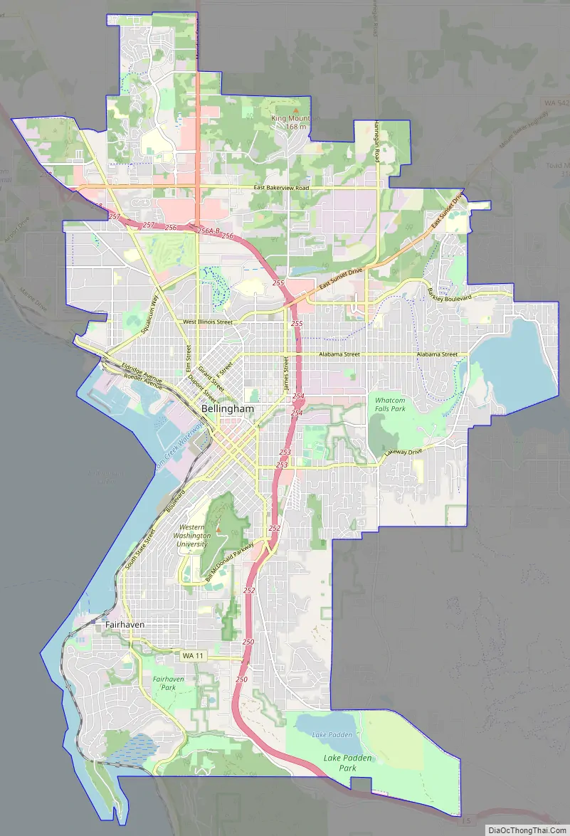
Bellingham Road Map
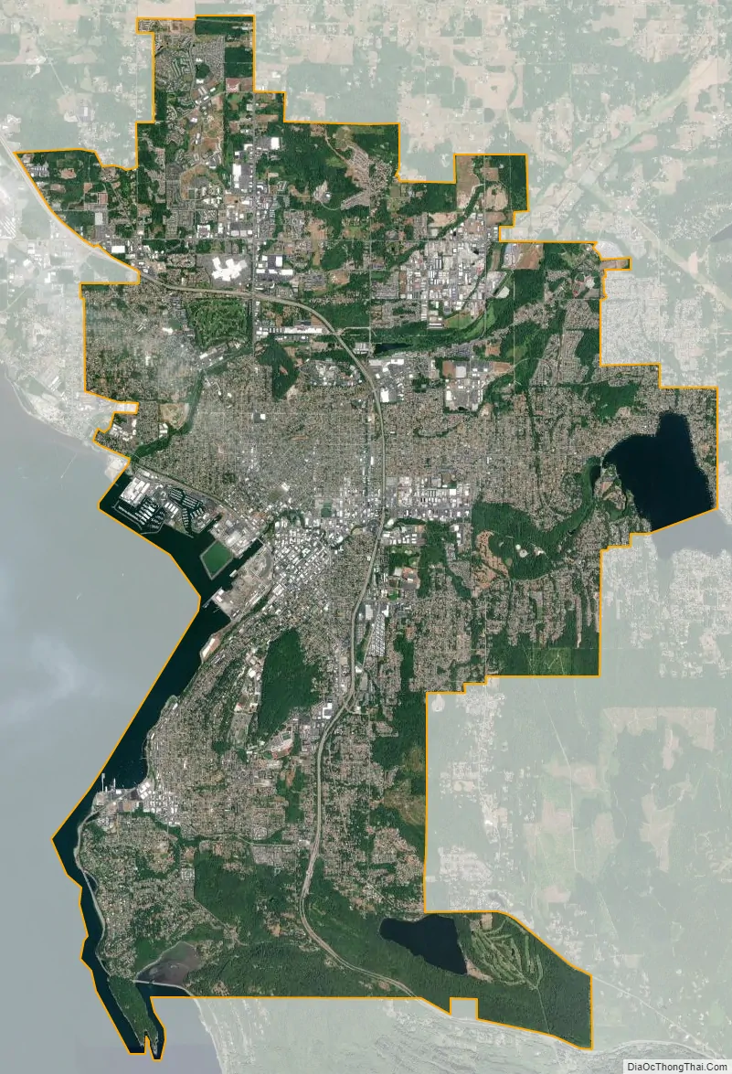
Bellingham city Satellite Map
Geography
The city is situated on Bellingham Bay which is protected by Lummi Island, Portage Island, and the Lummi Peninsula, and opens onto the Strait of Georgia. It lies west of Mount Baker and Lake Whatcom (from which it gets its drinking water) and north of the Chuckanut Mountains and the Skagit Valley. Whatcom Creek runs through the center of the city. Bellingham is 18 miles (29 km) south of the US-Canada border and 50 miles (80 km) southeast of Vancouver.
According to the United States Census Bureau, the city has a total area of 28.90 square miles (74.85 km), of which, 27.08 square miles (70.14 km) is land and 1.82 square miles (4.71 km) is water. The lowest elevations are at sea level along the waterfront. Alabama Hill is one of the higher points in the city at about 500 feet (150 m). Elevations of 800 feet (240 m) are found near Yew Street Hill north of Lake Padden and near Galbraith Mountain. South and eastward of the city limits are taller foothills of the North Cascades mountains. Mount Baker is the largest peak in the local area, with a summit elevation of 10,778 feet (3,285 m) that is only 31 miles (50 km) from Bellingham Bay. Mount Baker is visible from many parts of the city and western Whatcom County. Lake Whatcom forms part of the eastern boundary of the city, while many smaller lakes and wetland areas are found around the region.
Situated at a latitude of 48.75 North, and thus north of the 48°34′ parallel, Bellingham is one of only a few cities in the continental United States that experience astronomical twilight for the entire night. The phenomenon occurs every year between June 14 and June 28.
Bellingham’s neighborhoods are Alabama Hill, Barkley, Birchwood, Columbia, Cordata, Cornwall Park, Downtown Central Business District, Edgemoor, Fairhaven, Happy Valley, Irongate, King Mountain, Lettered Streets, Meridian, Puget, Roosevelt, Samish, Sehome, Silver Beach, South, South Hill, Sunnyland, Whatcom Falls, Western Washington University (WWU) (including the campus), and York.
Climate
Bellingham’s climate is generally mild and typical of the Puget Sound region. The year-long average daily high and low temperatures are 59 and 44.1 °F (15.0 and 6.7 °C), respectively. Western Whatcom County has a marine oceanic climate that is strongly influenced by the Cascade Range and Olympic Mountains. The Cascades to the east retain the temperate marine influence, while the Olympics provide a rain shadow effect that buffers Bellingham from much of the rainfall approaching from the southwest.
Bellingham receives an average annual rainfall of 34.84 inches (885 mm), which is slightly less than nearby Seattle. As evident in the table below, November is typically the wettest month, with numerous frontal rainstorms arriving. Still, precipitation is distributed throughout the rainy period extending from October through April.
Bellingham was reported to have the lowest average sunshine amount of any city in the US. Despite this, Bellingham also has mild, pleasant summers and confirmed scientific climate data indicates it is actually less cloudy on average than Seattle (SeaTac), Everett (Paine Field) and Olympia. The hottest summer days rarely exceed 90 °F (32 °C) and the warmest temperature on record is 100 °F (38 °C) on August 12, 2021. This is markedly cooler than the record high for Seattle (108 °F (42 °C)) and most other Washington locations. Drought is rare, although some summers are noticeably drier than others and some normally reliable wells have been known to run dry in August and September. Nevertheless, crops are more frequently ruined by too much rain rather than too little.
Bellingham’s proximity to the Fraser River valley occasionally subjects it to a harsh winter weather pattern (termed a ‘north-Easter’) wherein an upper-level trough drives cold Arctic air from the Canadian interior southwesterly through the Fraser River Canyon. Such an event was recorded on November 28, 2006, when air temperatures of 12 °F (−11 °C) were accompanied by 30 to 48 miles per hour (48 to 77 km/h) winds. Wind chill equivalents reached −10 °F (−23 °C) according to NOAA. Several days into this pattern, local ponds and smaller lakes freeze solidly enough to allow skating. Outflow winds can collide with a Gulf of Alaska moisture and create ice, snow, or heavy rains. This transition can also lead to freezing rain, referred to as a “silver thaw” that produces hazardous roads among other inconveniences.
Its reverse, the “Pineapple Express”, refers to acutely mild autumn and winter spells – for most of such a spell, an unusually warm and steady wind comes out of the south. It will typically follow several days of Arctic northeast outflow winds, and it can melt significant snow accumulations quickly, pushing drainage systems to their limits.
See also
Map of Washington State and its subdivision:- Adams
- Asotin
- Benton
- Chelan
- Clallam
- Clark
- Columbia
- Cowlitz
- Douglas
- Ferry
- Franklin
- Garfield
- Grant
- Grays Harbor
- Island
- Jefferson
- King
- Kitsap
- Kittitas
- Klickitat
- Lewis
- Lincoln
- Mason
- Okanogan
- Pacific
- Pend Oreille
- Pierce
- San Juan
- Skagit
- Skamania
- Snohomish
- Spokane
- Stevens
- Thurston
- Wahkiakum
- Walla Walla
- Whatcom
- Whitman
- Yakima
- Alabama
- Alaska
- Arizona
- Arkansas
- California
- Colorado
- Connecticut
- Delaware
- District of Columbia
- Florida
- Georgia
- Hawaii
- Idaho
- Illinois
- Indiana
- Iowa
- Kansas
- Kentucky
- Louisiana
- Maine
- Maryland
- Massachusetts
- Michigan
- Minnesota
- Mississippi
- Missouri
- Montana
- Nebraska
- Nevada
- New Hampshire
- New Jersey
- New Mexico
- New York
- North Carolina
- North Dakota
- Ohio
- Oklahoma
- Oregon
- Pennsylvania
- Rhode Island
- South Carolina
- South Dakota
- Tennessee
- Texas
- Utah
- Vermont
- Virginia
- Washington
- West Virginia
- Wisconsin
- Wyoming