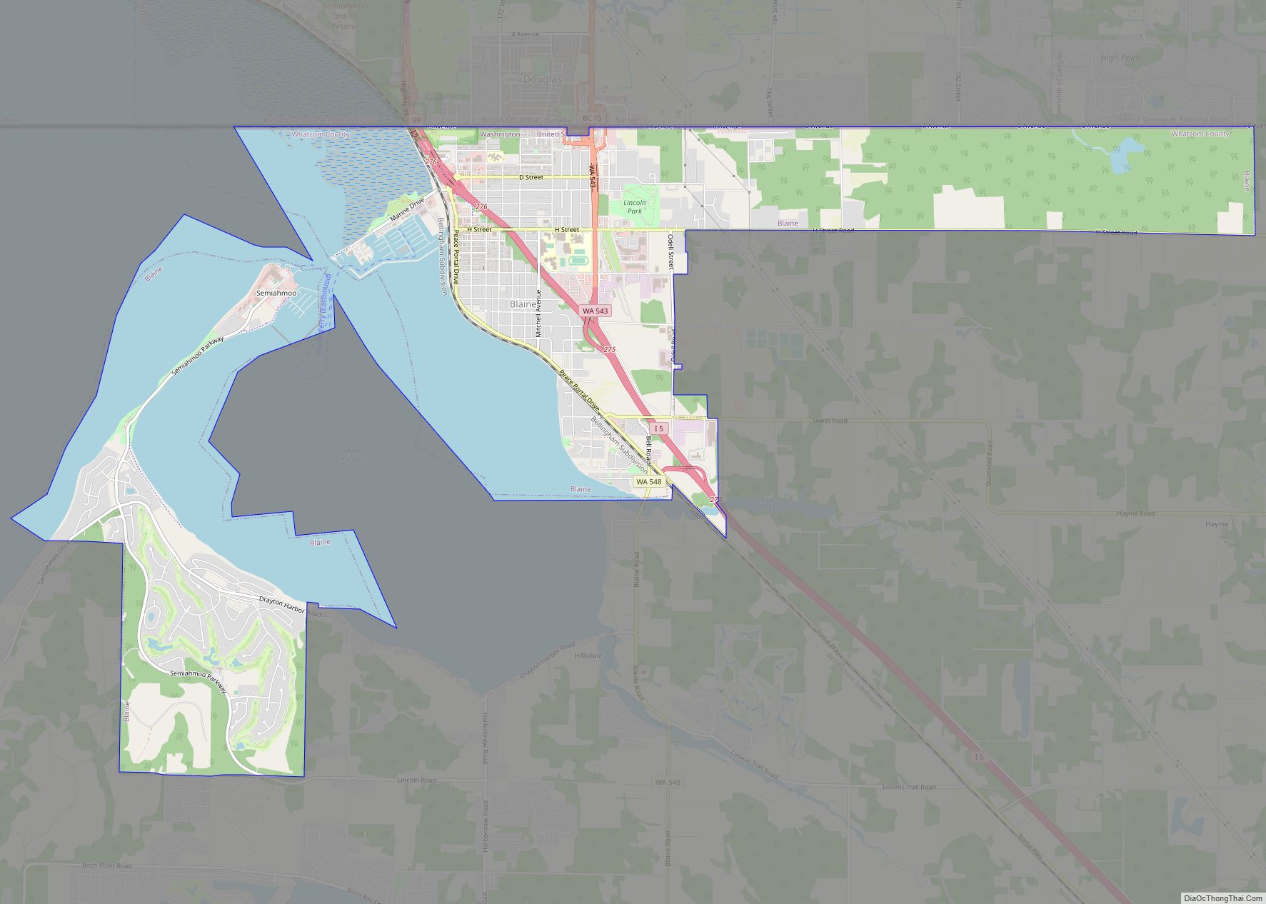
Blaine is a city in Whatcom County, Washington, United States. The city’s northern boundary is the Canada–U.S. border; the Peace Arch international monument straddles the border of both countries. The population was 5,884 at the 2020 census. Since Blaine is located right on the border with Canada, it is the northernmost city on Interstate 5.
| Name: | Blaine city |
|---|---|
| LSAD Code: | 25 |
| LSAD Description: | city (suffix) |
| State: | Washington |
| County: | Whatcom County |
| Incorporated: | May 20, 1890 |
| Elevation: | 53 ft (16 m) |
| Total Area: | 8.62 sq mi (22.33 km²) |
| Land Area: | 5.58 sq mi (14.45 km²) |
| Water Area: | 3.04 sq mi (7.88 km²) |
| Total Population: | 5,884 |
| Population Density: | 1,005.20/sq mi (388.08/km²) |
| ZIP code: | 98230 (home delivery) and 98231 (post office boxes) |
| Area code: | 360 |
| FIPS code: | 5306505 |
| GNISfeature ID: | 2409860 |
| Website: | www.cityofblaine.com |
Online Interactive Map
Click on ![]() to view map in "full screen" mode.
to view map in "full screen" mode.
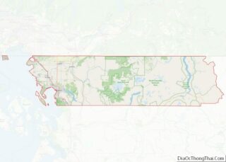
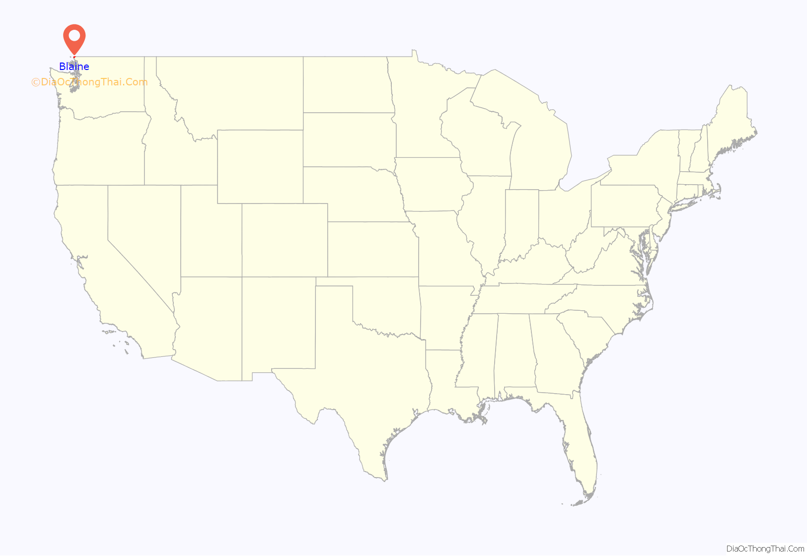
Blaine location map. Where is Blaine city?

History
The area was first settled in the mid-19th century by pioneers who established the town as a seaport for the west coast logging and fishing industries, and as a jumping off point for prospectors heading to British Columbia’s gold fields. Blaine was officially incorporated on May 20, 1890, and was named after James G. Blaine (1830−1893), who was a U.S. senator from the state of Maine, Secretary of State, and, in 1884, the unsuccessful Republican presidential candidate. The city has a “turn-of-the-century” theme, marked by remodeled buildings and signs resembling designs that existed during the late 19th century and early 20th century.
The world’s largest salmon cannery was operated by the Alaska Packers’ Association for decades in Blaine; the cannery site has been converted to a waterfront destination resort on Semiahmoo Spit. Several saw mills once operated on Blaine’s waterfront, and much of the lumber was transported from its wharves and docks to help rebuild San Francisco following the 1906 fire there. The forests were soon logged but Blaine’s fishing industry remained strong into the second half of the 20th century. Into the 1970s Blaine was home to hundreds of commercial purse seiners and gillnetters plying the waters offshore of British Columbia, between Washington state and southeast Alaska. Blaine’s two large marinas are still home to hundreds of recreational sailboats and yachts. Nature lovers have always appreciated Blaine’s coastal location, its accessible bike and walking trails, and view of mountains and water. Birdwatchers across the continent have discovered the area’s high content of migratory birds and waterfowl: Blaine’s Drayton Harbor, Semiahmoo Spit and Boundary Bay are ranked as Important Birding Areas by the Audubon Society.
The Cains are the most notable family in Blaine’s short history, credited with its founding and achievements. At one time owning most of present-day Blaine, the Cain brothers erected the biggest store north of Seattle, a lumber and shingle mill, a hotel (largest in the state at the time), the first public wharf, and donated large public tracts of land.
Nathan Cornish and family moved to Blaine in 1889. He became mayor in 1901; his platform was “twelve miles of wooden sidewalk”. His daughter, Nellie Cornish, having failed to open a successful piano teaching business in Blaine, moved to Seattle, where she founded the Cornish College of the Arts in 1914, which still exists today.
On May 9, 1970, approximately 450 Canadian protestors demonstrating against the Cambodian campaign of the Vietnam War crossed the border and conducted a “symbolic invasion” of Blaine. Several buildings’ windows were smashed, flags were torn down, and the Peace Arch was vandalized before police officers and vigilantes pushed the protestors back to the Canadian side of the border.
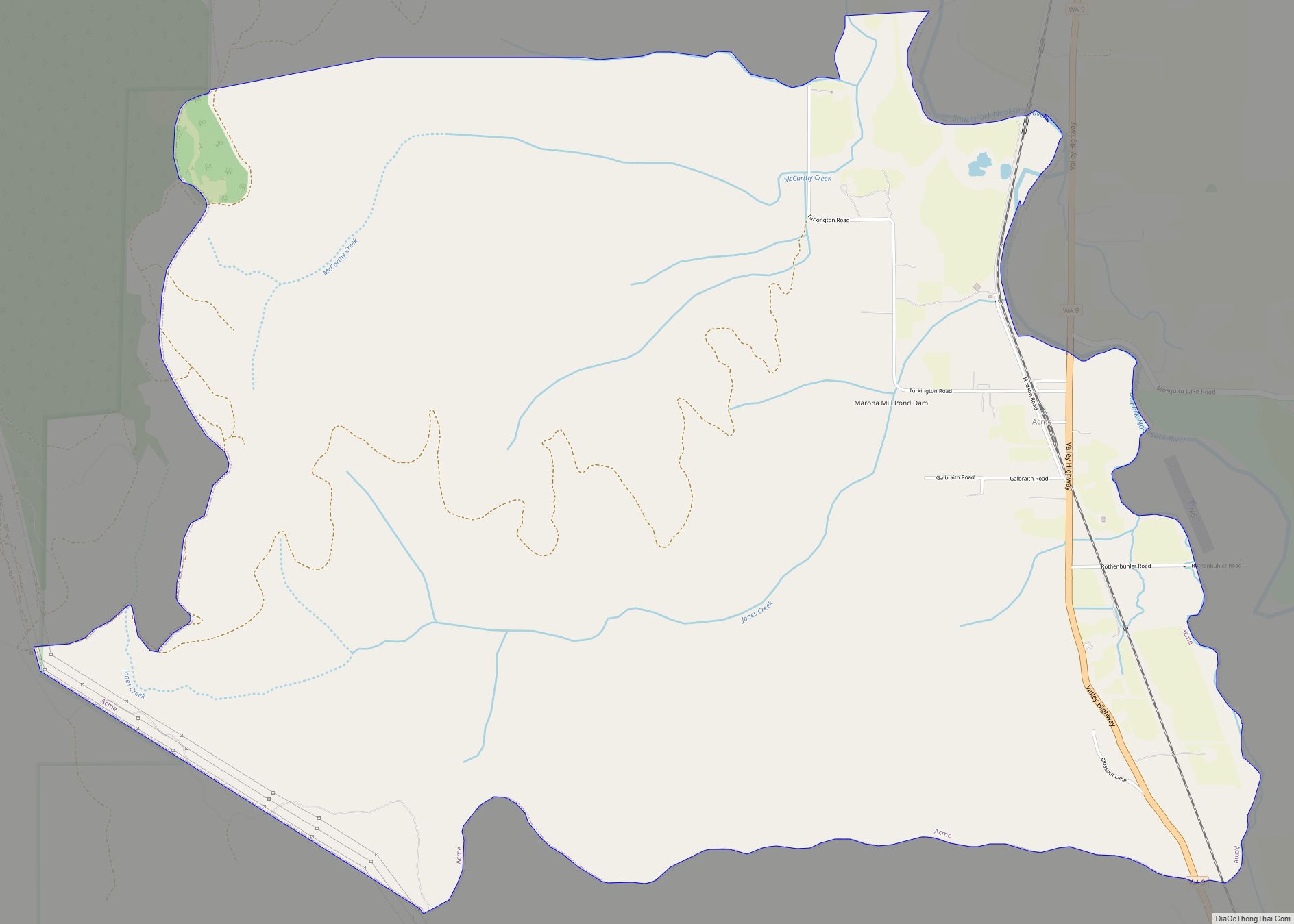
Blaine Road Map

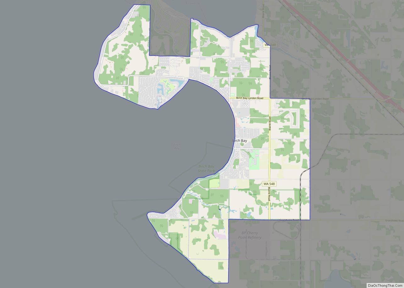
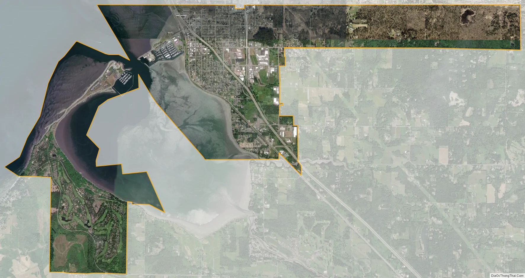
Blaine city Satellite Map
Geography
According to the United States Census Bureau, the city has a total area of 8.43 square miles (21.83 km), of which, 5.63 square miles (14.58 km) is land and 2.80 square miles (7.25 km) is water. Blaine’s motto is “Where America Begins”: the community is also known as “The Gateway to the Pacific Northwest”, and the “Peace Arch City”. All these phrases are commentaries on Blaine’s unique locale. It lies at the northernmost point of the north-south U.S. Interstate 5 and next to Drayton Harbor and Boundary Bay (the southward extension of Boundary Bay is officially named and often referred to as Semiahmoo Bay).
Blaine had a small airport, which was popular with light aircraft owners for its low fuel prices and because it had less fog than other nearby airports. The runway measured 2539 × 40 feet (774 × 12 m). The Blaine city government operated automated fuel pumps. In the spring of 2006 the city government removed several tall trees south of the runway as a safety precaution. Then in 2007, the City Council voted to close the airport before the end of 2008. The airport was officially closed on December 31, 2008. The land upon which the airport rests is adjacent to a shopping center and light industrial park. The area is now zoned for mixed use development, including light industrial manufacturing and commercial.
See also
Map of Washington State and its subdivision:- Adams
- Asotin
- Benton
- Chelan
- Clallam
- Clark
- Columbia
- Cowlitz
- Douglas
- Ferry
- Franklin
- Garfield
- Grant
- Grays Harbor
- Island
- Jefferson
- King
- Kitsap
- Kittitas
- Klickitat
- Lewis
- Lincoln
- Mason
- Okanogan
- Pacific
- Pend Oreille
- Pierce
- San Juan
- Skagit
- Skamania
- Snohomish
- Spokane
- Stevens
- Thurston
- Wahkiakum
- Walla Walla
- Whatcom
- Whitman
- Yakima
- Alabama
- Alaska
- Arizona
- Arkansas
- California
- Colorado
- Connecticut
- Delaware
- District of Columbia
- Florida
- Georgia
- Hawaii
- Idaho
- Illinois
- Indiana
- Iowa
- Kansas
- Kentucky
- Louisiana
- Maine
- Maryland
- Massachusetts
- Michigan
- Minnesota
- Mississippi
- Missouri
- Montana
- Nebraska
- Nevada
- New Hampshire
- New Jersey
- New Mexico
- New York
- North Carolina
- North Dakota
- Ohio
- Oklahoma
- Oregon
- Pennsylvania
- Rhode Island
- South Carolina
- South Dakota
- Tennessee
- Texas
- Utah
- Vermont
- Virginia
- Washington
- West Virginia
- Wisconsin
- Wyoming