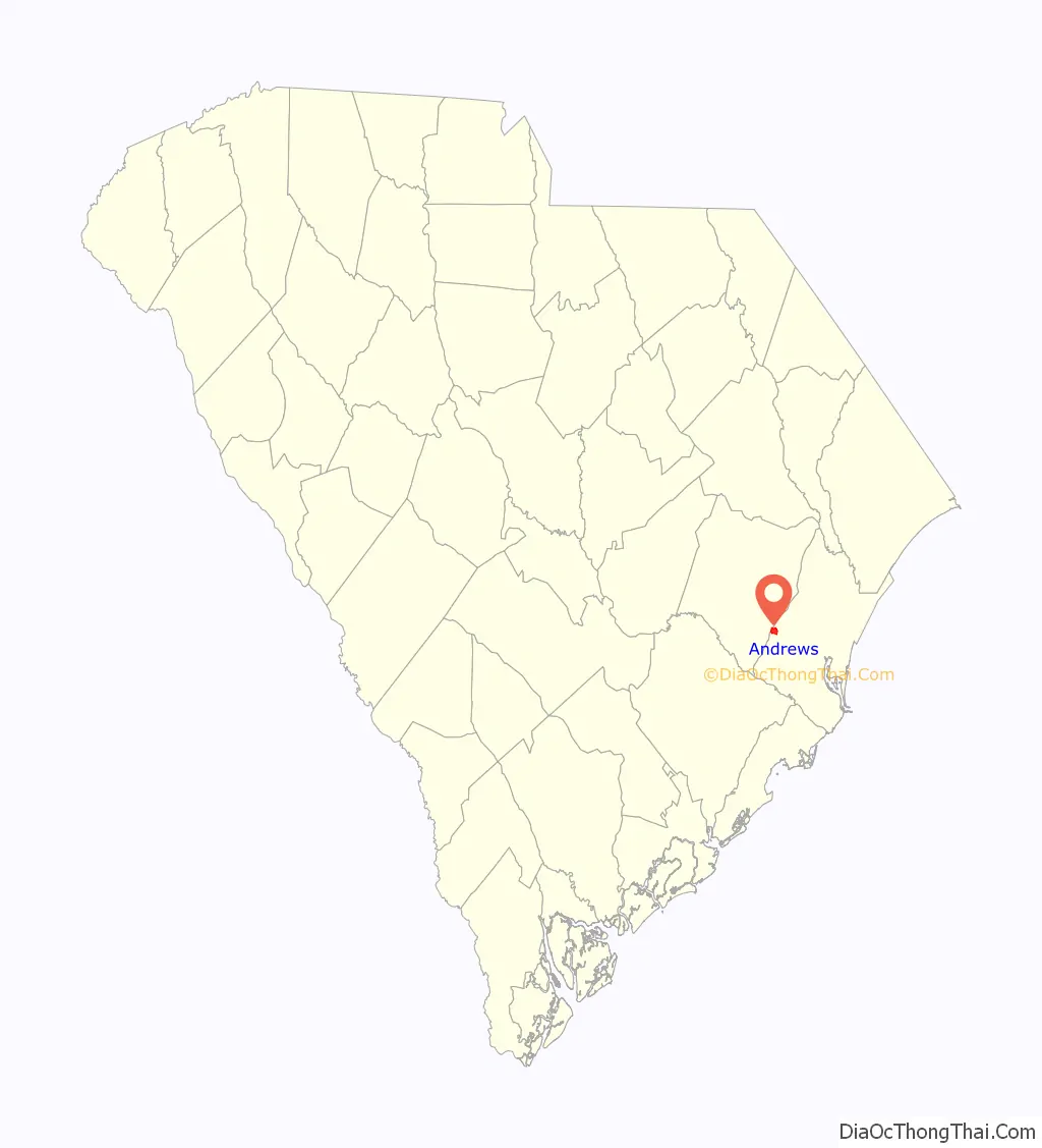
Andrews is a town in both Georgetown and Williamsburg counties in the U.S. state of South Carolina. Its population was 2,861 at the 2010 census, down from 3,068 in 2000. General aviation airfield Robert F. Swinnie Airport is 2 miles (3 km) east of its central business district.
| Name: | Andrews town |
|---|---|
| LSAD Code: | 43 |
| LSAD Description: | town (suffix) |
| State: | South Carolina |
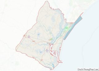
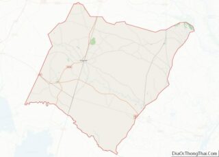
| County: | Georgetown County, Williamsburg County |
| Elevation: | 26 ft (8 m) |
| Total Area: | 2.21 sq mi (5.73 km²) |
| Land Area: | 2.21 sq mi (5.73 km²) |
| Water Area: | 0.00 sq mi (0.00 km²) |
| Total Population: | 2,575 |
| Population Density: | 1,165.16/sq mi (449.77/km²) |
| ZIP code: | 29510 |
| FIPS code: | 4501450 |
| GNISfeature ID: | 1244882 |
| Website: | townofandrews.org |
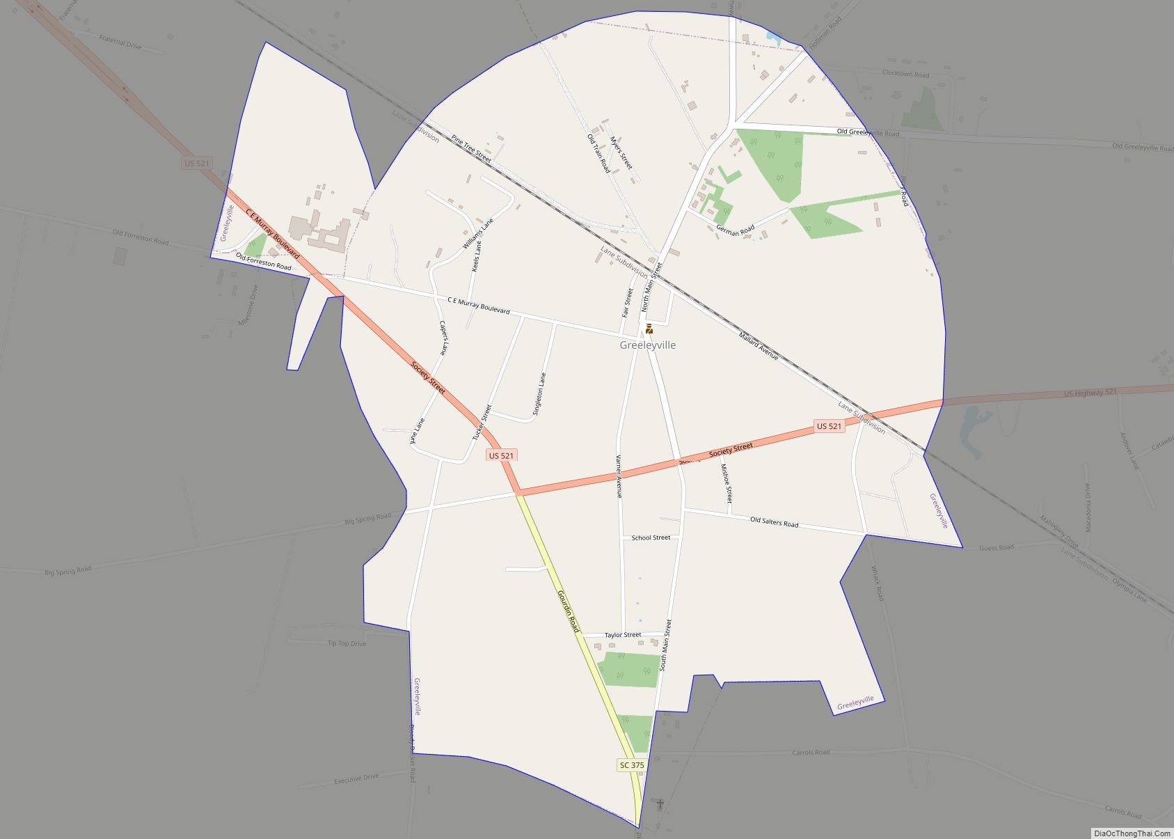
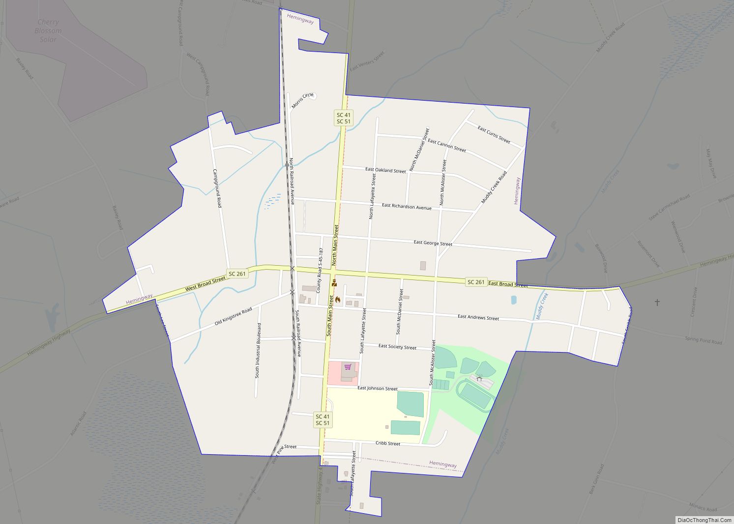
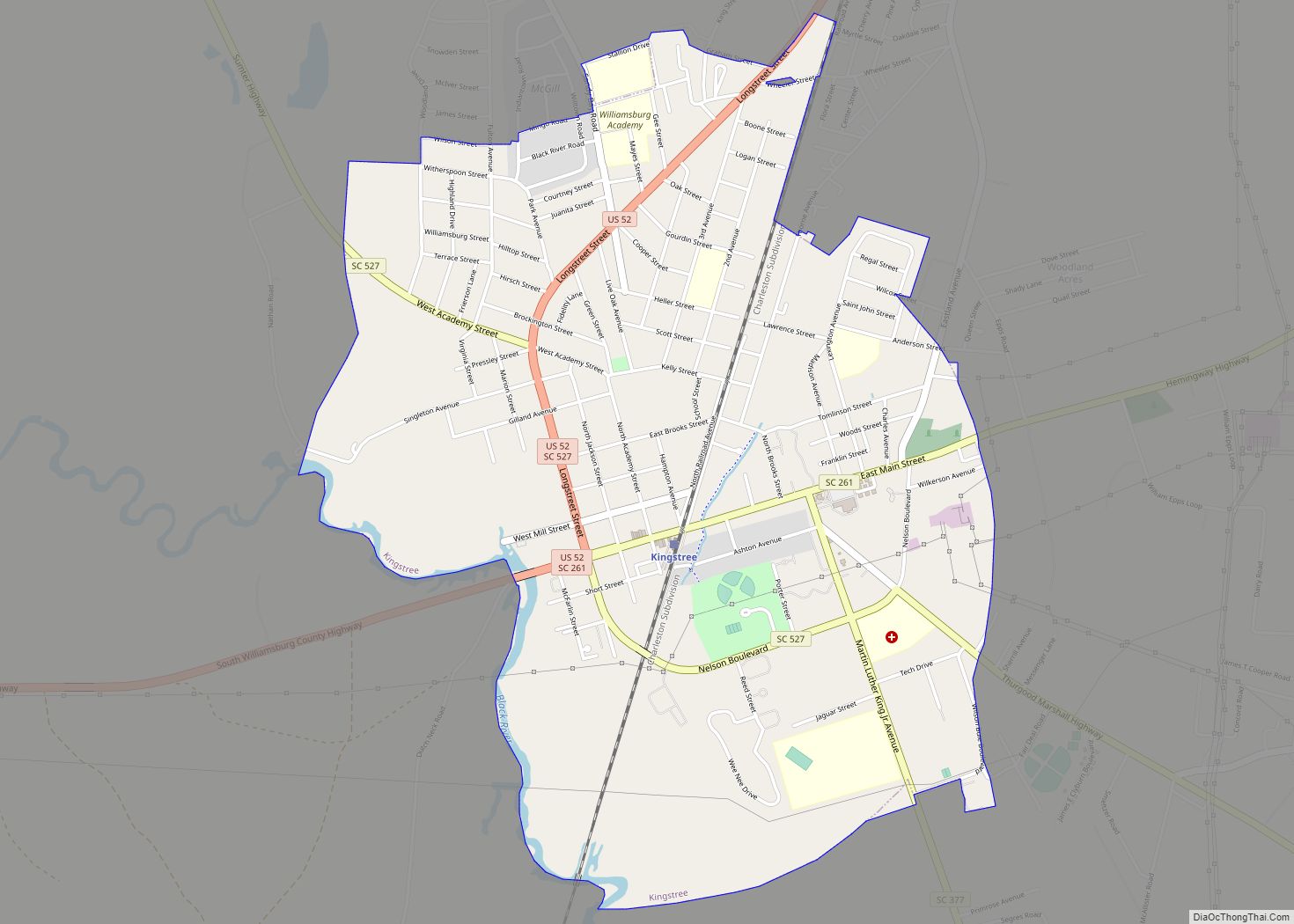
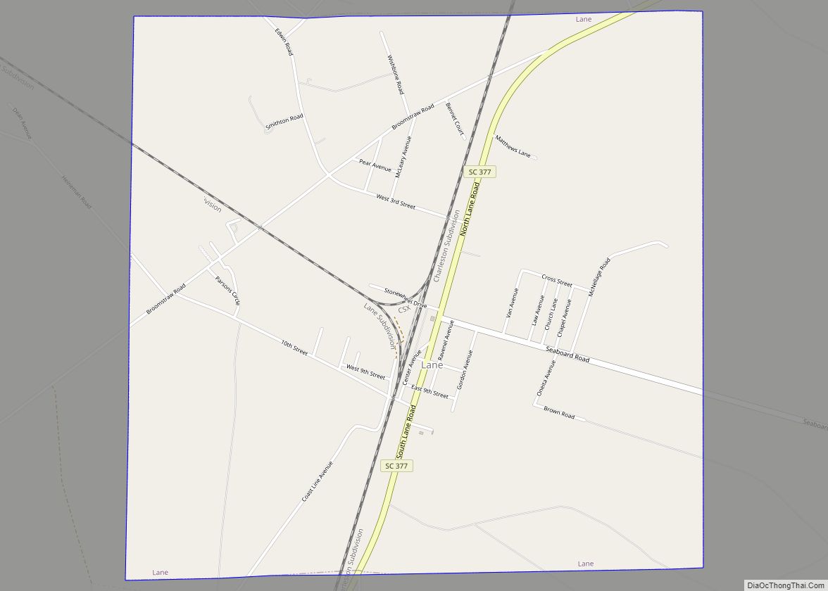
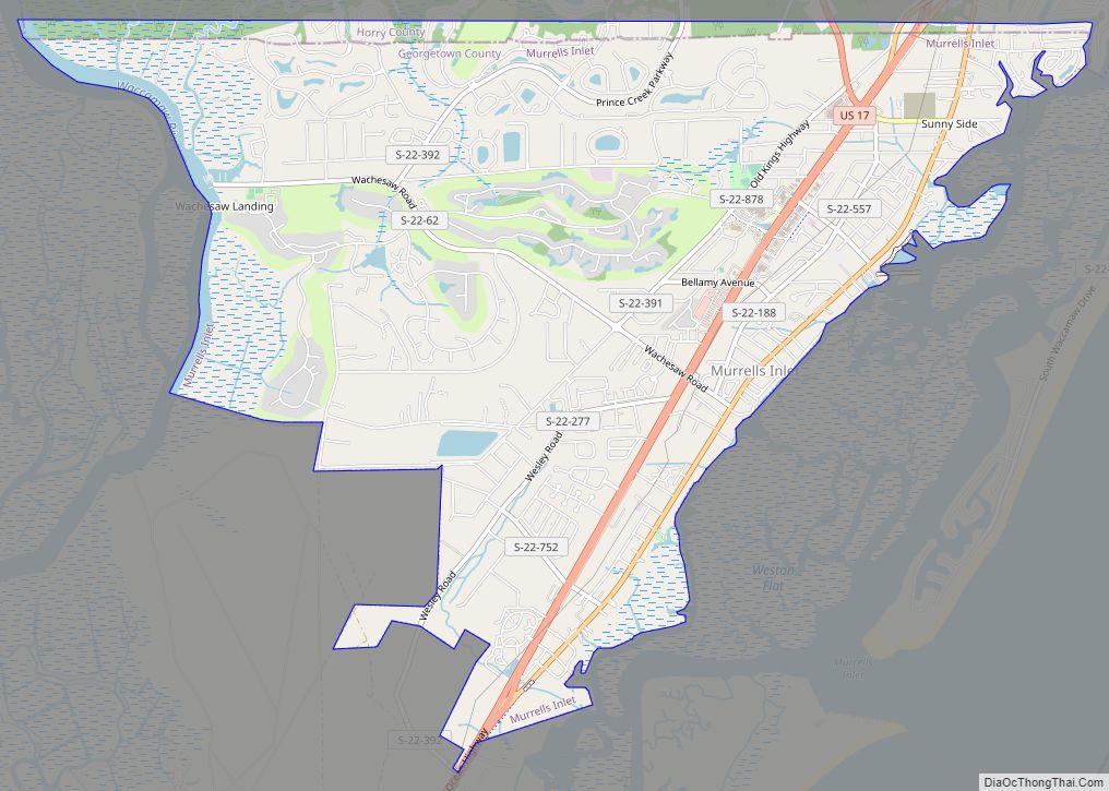
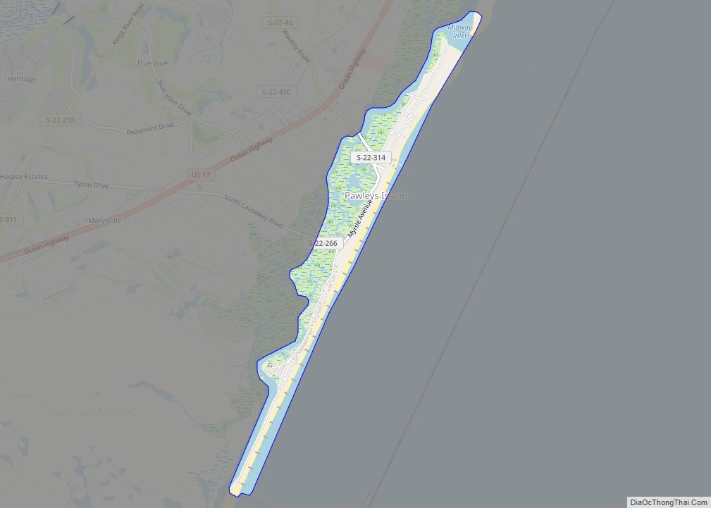
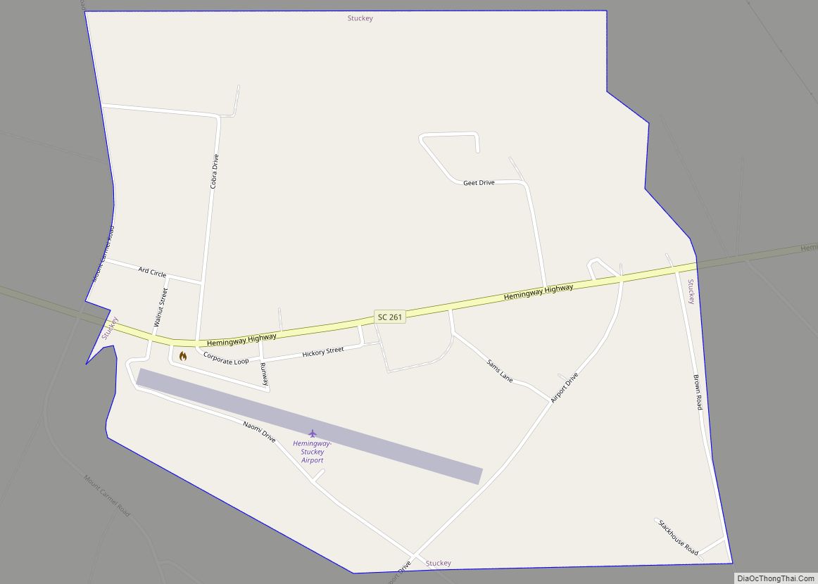
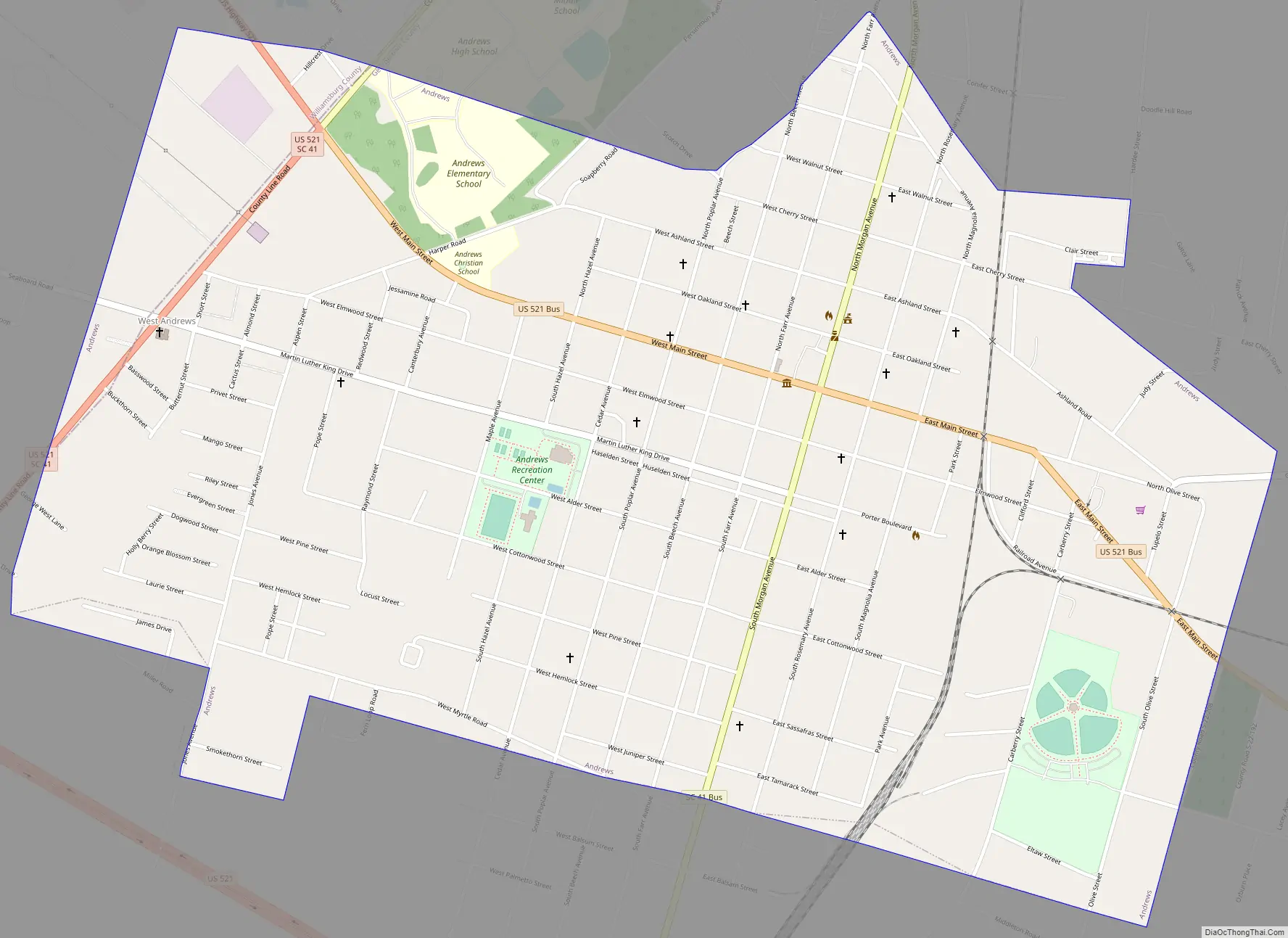
Online Interactive Map
Click on ![]() to view map in "full screen" mode.
to view map in "full screen" mode.
Andrews location map. Where is Andrews town?

History
The towns of Rosemary and Harpers Crossroads were settled along the Georgetown and Western Railroad, which started operation in 1886. In 1905, the Seaboard Air Line Railroad built a route through the town, along with a sizable maintenance shop. In 1909, voters agreed to incorporate the two separate towns into a single community, which was named Andrews, after Colonel Walter H. Andrews, who played an important role in the incorporation. Andrews worked for the Atlantic Coast Lumber Co. and served as mayor through most of the 1920s. In 1915, a town hall was built, which is now a museum. By 1919, Andrews had reached a population of 2,000 and continued to grow. During the 1920s, Andrews had the title of being the fastest growing town in the United States for its age. The two schools were the Andrews School and the Rosemary School. These were segregated, with the Andrews School being the white school and Rosemary being the black.
When the Great Depression of the 1930s started, Andrews was hit hard, with population down by 700 when Seaboard scaled back its operations. In 1932 the local economy was dealt a further blow when the Atlantic Coast Lumber Co. closed its nearby plant. The lumber business never regained prominence in the area. The economy subsequently improved in the late 1930s when an International Paper paper mill was built in Georgetown County.
After World War II, the Andrews Development Board was incorporated to attract businesses to the area. Among the industries added were Brooks Veneer Co., the Beale and the Ingram lumber companies, the Rogers Saw Mill Co., the Hardee livestock market, the Andrews Ice Co., and the Oneita Knitting Mill. In 1970, the schools were integrated. Rosemary became a middle school. The Andrews school became the elementary/high school. In 1984, Andrews Elementary School was built. In 2000 new middle and high school facilities were built. An expansion to the local branch library began in 2010. It celebrated its centennial year in 2009.
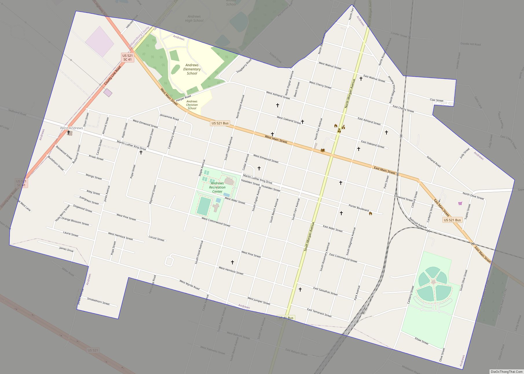
Andrews Road Map
Andrews city Satellite Map

Geography
Andrews is located in western Georgetown County, with a small portion extending west into Williamsburg County. U.S. Route 521 bypasses the town to the south, then passes through the west side of the town; the highway leads northwest 62 miles (100 km) to Sumter and east 17 miles (27 km) to Georgetown, the county seat. South Carolina Highway 41 leads northeast 24 miles (39 km) to Hemingway and southwest 15 miles (24 km) to Jamestown. Charleston is 59 miles (95 km) to the southwest.
According to the United States Census Bureau, Andrews has a total area of 2.2 square miles (5.7 km), all land.
See also
Map of South Carolina State and its subdivision:- Abbeville
- Aiken
- Allendale
- Anderson
- Bamberg
- Barnwell
- Beaufort
- Berkeley
- Calhoun
- Charleston
- Cherokee
- Chester
- Chesterfield
- Clarendon
- Colleton
- Darlington
- Dillon
- Dorchester
- Edgefield
- Fairfield
- Florence
- Georgetown
- Greenville
- Greenwood
- Hampton
- Horry
- Jasper
- Kershaw
- Lancaster
- Laurens
- Lee
- Lexington
- Marion
- Marlboro
- McCormick
- Newberry
- Oconee
- Orangeburg
- Pickens
- Richland
- Saluda
- Spartanburg
- Sumter
- Union
- Williamsburg
- York
- Alabama
- Alaska
- Arizona
- Arkansas
- California
- Colorado
- Connecticut
- Delaware
- District of Columbia
- Florida
- Georgia
- Hawaii
- Idaho
- Illinois
- Indiana
- Iowa
- Kansas
- Kentucky
- Louisiana
- Maine
- Maryland
- Massachusetts
- Michigan
- Minnesota
- Mississippi
- Missouri
- Montana
- Nebraska
- Nevada
- New Hampshire
- New Jersey
- New Mexico
- New York
- North Carolina
- North Dakota
- Ohio
- Oklahoma
- Oregon
- Pennsylvania
- Rhode Island
- South Carolina
- South Dakota
- Tennessee
- Texas
- Utah
- Vermont
- Virginia
- Washington
- West Virginia
- Wisconsin
- Wyoming