Georgetown County is a county located in the U.S. state of South Carolina. As of the 2020 census, the population was 63,404. Its county seat is Georgetown. The county was founded in 1769. It is named for George III of the United Kingdom.
Georgetown County comprises the Georgetown, SC Micropolitan Statistical Area, which is also included in the Myrtle Beach–Conway, SC–NC Combined Statistical Area.
| Name: | Georgetown County |
|---|---|
| FIPS code: | 45-043 |
| State: | South Carolina |
| Founded: | 1800 |
| Named for: | King George II |
| Seat: | Georgetown |
| Total Area: | 1,035 sq mi (2,680 km²) |
| Land Area: | 814 sq mi (2,110 km²) |
| Total Population: | 63,404 |
| Population Density: | 61/sq mi (24/km²) |
| Time zone: | UTC−5 (Eastern) |
| Summer Time Zone (DST): | UTC−4 (EDT) |
| Website: | www.georgetowncountysc.org |
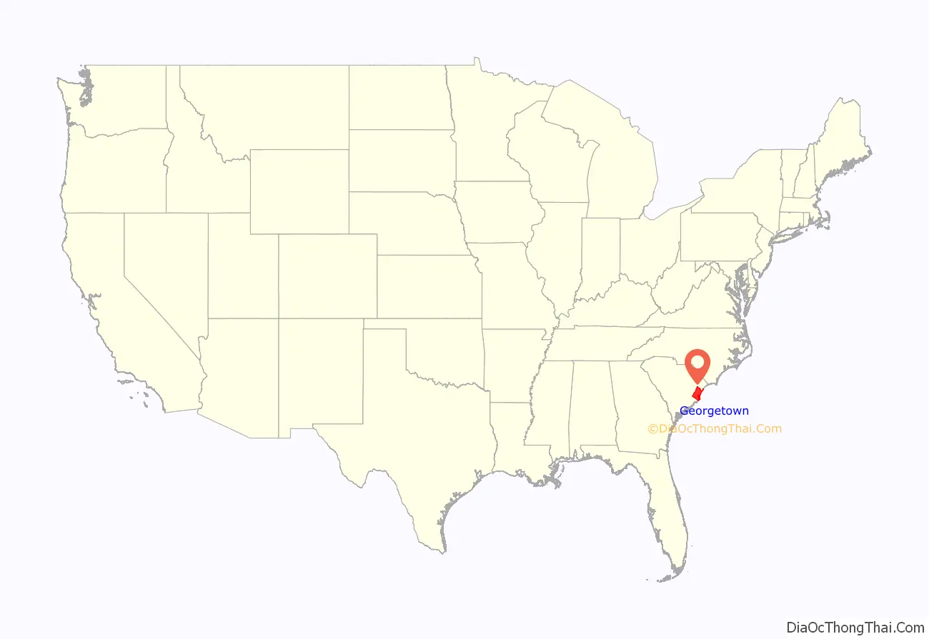
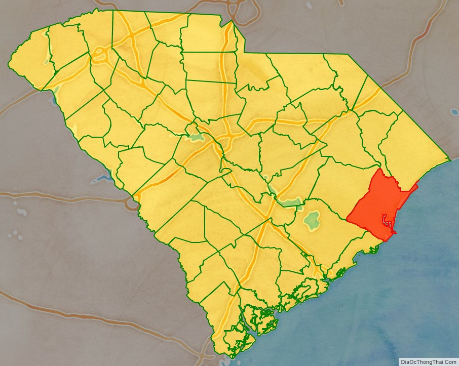
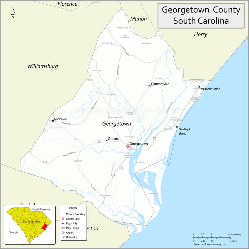
Georgetown County location map. Where is Georgetown County?
History
The county was chartered in 1769 but only officially became a county in 1800. It is named for George III of the United Kingdom. The county seat is Georgetown while the largest community is Murrells Inlet.
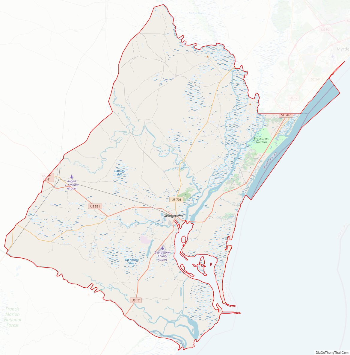
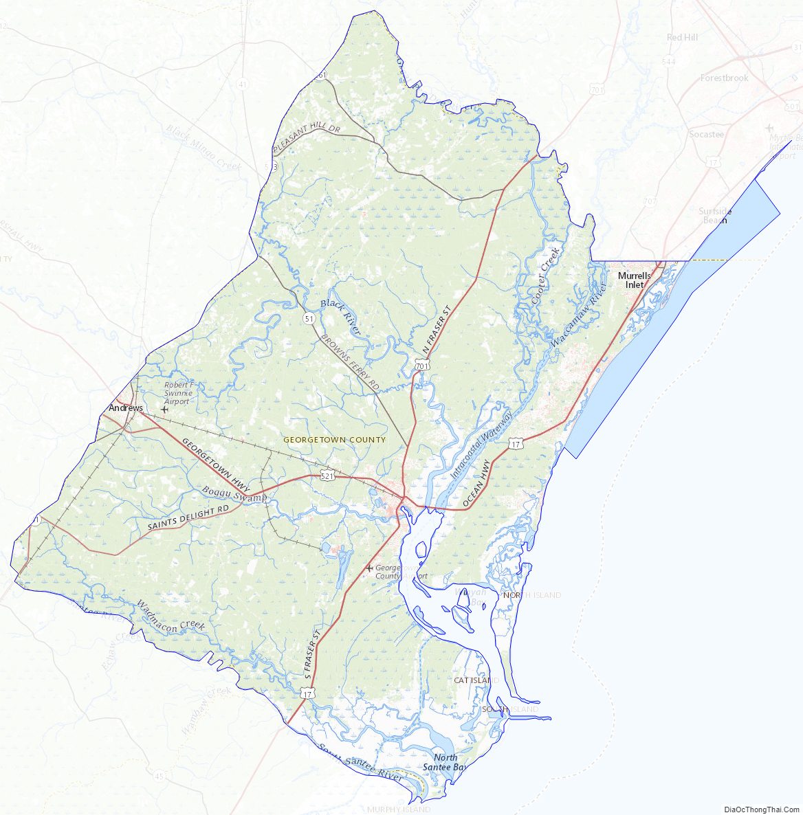
Georgetown County Road Map
Geography
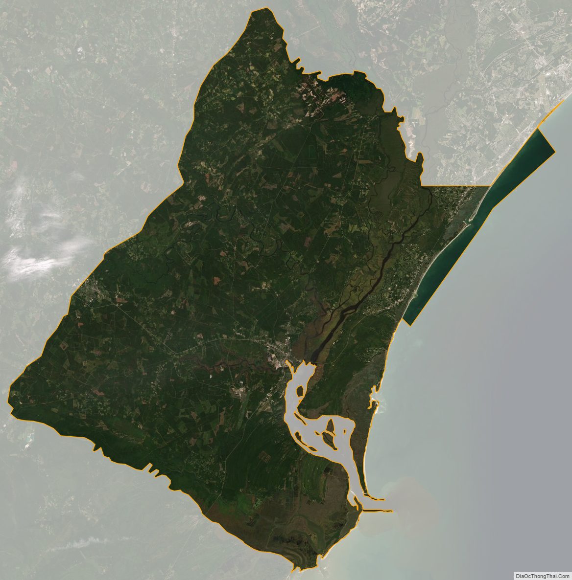
According to the U.S. Census Bureau, the county has a total area of 1,035 square miles (2,680 km), of which 814 square miles (2,110 km) is land and 221 square miles (570 km) (21%) is water.
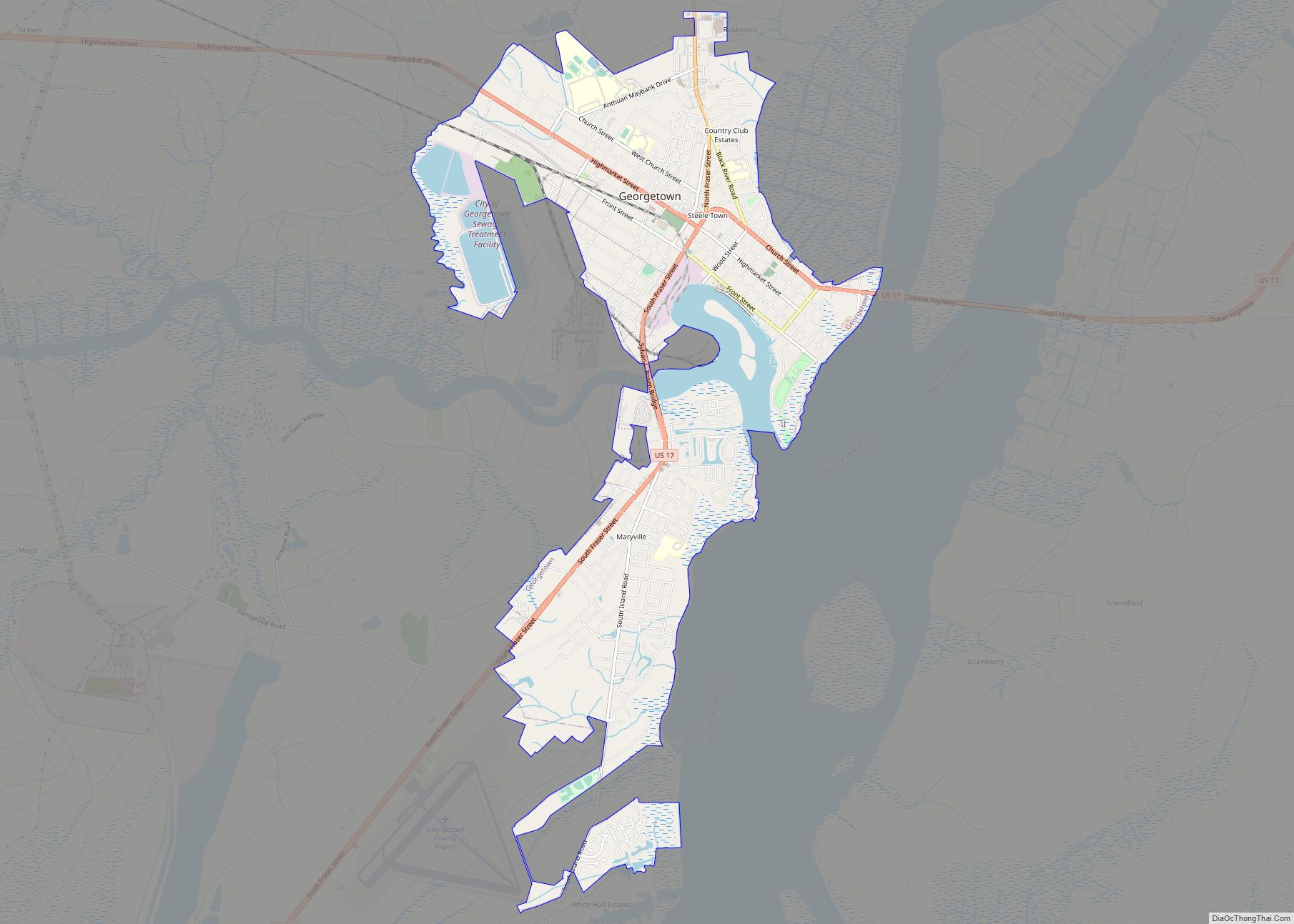
Georgetown County has several rivers, including the Great Pee Dee River, the Waccamaw River, Black River, and Sampit River, all of which flow into Winyah Bay. The Santee River, which forms the southern boundary of the county, empties directly into the Atlantic. The Intracoastal Waterway crosses the county and Winyah Bay. The rivers and the bay have had a decisive effect on human development of the area, especially as the city of Georgetown has an excellent seaport and harbor.
Georgetown County is a diverse county with four distinct areas:
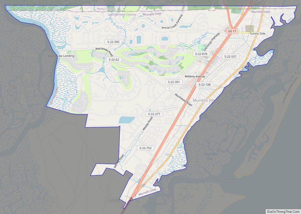
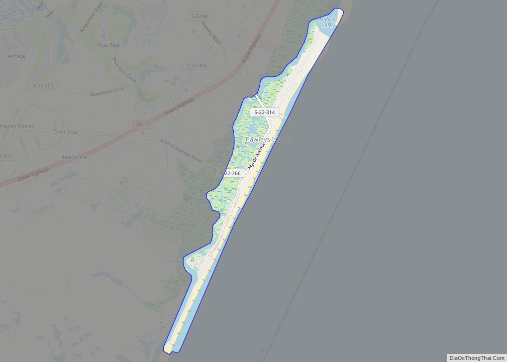
1. The Atlantic coastline, also called Waccamaw Neck, including the communities of Murrells Inlet, Litchfield, Pawleys Island and DeBordieu, is part of “The Grand Strand” (beach), which includes Myrtle Beach to the north. The Georgetown County part of the Grand Strand used to be rural area, but is exploding with development today. Condos line the shoreline at Litchfield and many of the old cottages at Pawleys are being demolished for larger houses. DeBordieu is a gated community.
Empty beachfront has disappeared and wild areas are rapidly vanishing. A few wilder areas are being saved, as these provide critical habitat as part of the Atlantic Flyway for migratory birds. Huntington Beach State Park preserves some of the coastline and coastal marshes in the northern section, with nearby Brookgreen Gardens preserving a historical rice plantation and some forest. Brookgreen Gardens, with a nature center and many outdoor sculptures is a popular tourist spot.
The University of South Carolina and Clemson University maintain the Belle W. Baruch research site at Hobcaw Barony on Waccamaw Neck. The islands around the outlet of Winyah Bay are designated as the “Tom Yawkey Wildlife Center Heritage Preserve”. This area is home to the northernmost naturally occurring hammocks of South Carolina’s signature sabal palmetto tree.
2. The riverfronts have had little recent development. Such properties were once used for rice plantations, using a rice variety brought from Africa. After the Civil War, and the loss of slave labor, the plantations gradually ceased production. Today they are primarily wild areas, accessible only by boat. In some areas, the earthworks, such as dikes and water gates used for rice culture, still exist, as well as a few of the plantation houses. Litchfield Plantation has been redeveloped as a country inn; other properties have been developed as planned residential communities. Great blue herons, alligators, and an occasional bald eagle can be seen along the waterways. Fishing is a popular activity.
A tiny community accessible only by boat is on Sandy Island, in the Pee Dee River. Residents are descendants of slaves who worked plantations on the island, and they are trying to keep out development. Recently the Federal government began buying land along the rivers for the new Waccamaw Wildlife Refuge, which is intended to protect such wild areas. The headquarters of the refuge will be at Yauhannah in the northern part of the county.
3. Georgetown is a small historic city founded in colonial times. It is a popular tourist area and a port for shrimp boats. Yachting “snowbirds” are often seen at the docks in spring and fall; these people follow the seasons along the Intracoastal waterway.
4. The inland rural areas are thinly populated. Some upland areas are good for agriculture or forestry. Several Carolina bays are thought to be craters from a meteor shower. These areas are rich in biodiversity. Carvers Bay, the largest, was extensively damaged by use as a practice bombing range by US military forces during World War II. Draining of the bay has further damaged its environment.
National protected areas
- North Inlet-Winyah Bay National Estuarine Research Reserve
- Waccamaw National Wildlife Refuge (part)
State and local protected areas/sites
- Baruch-North Island Reserve
- Bellefield House
- Black River Cypress Preserve
- Brookgreen Gardens
- Friendfield Village
- Georgetown Historic District
- Hobcaw House
- Huntington Beach State Park
- Mansfield Plantation
- Pee Dee River Rice Planters Historic District
- Santee Coastal Reserve (part)
- Tom Yawkey Wildlife Center
- Wee Tee State Forest (part)
Major water bodies
- Atlantic Ocean
- Black Mingo Swamp
- Black River
- Great Pee Dee River
- Intracoastal Waterway
- Little Pee Dee River
- Long Bay
- Murrells Inlet
- North Santee River
- Santee River
- South Santee River
- Waccamaw River
- Winyah Bay
Adjacent counties
- Horry County – northeast
- Marion County – north
- Williamsburg County – northwest
- Berkeley County – west
- Charleston County – southwest
Major highways
- US 17
- US 17 Alt.
- US 17 Bus.
- US 17 Conn.
- US 521
- US 521 Bus.
- US 701
- SC 41
- SC 41 Bus.
- SC 51
- SC 261
- SC 513
Major infrastructure
- Georgetown Airport
- Port of Georgetown
Georgetown County Topographic Map
Georgetown County Satellite Map
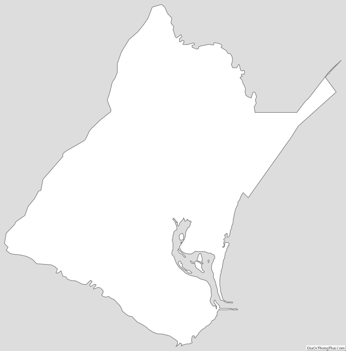
Georgetown County Outline Map