Greeleyville is a town in Williamsburg County, South Carolina, United States. The population was 438 at the 2010 census. The town was originally chartered on December 20, 1893. Greeleyville’s seal and flag feature a depiction of the first Town Hall, which was built in the 1890s, as well as two arms, one black and one white, holding a tobacco leaf and a cotton bowl. These symbols represent the unity and cooperation among all the people of Greeleyville and pay tribute to the town’s agricultural heritage.
Since 1982, the town has hosted an annual Flag Day celebration each Memorial Day weekend that features bingo, street dances, barbecue, as well as various other types of vendors.
| Name: | Greeleyville town |
|---|---|
| LSAD Code: | 43 |
| LSAD Description: | town (suffix) |
| State: | South Carolina |
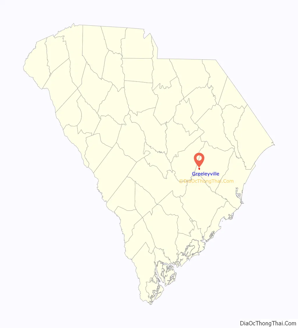
| County: | Williamsburg County |
| Incorporated: | December 20, 1893 (1893-12-20) |
| Elevation: | 79 ft (24 m) |
| Total Area: | 1.22 sq mi (3.17 km²) |
| Land Area: | 1.22 sq mi (3.17 km²) |
| Water Area: | 0.00 sq mi (0.00 km²) |
| Total Population: | 384 |
| Population Density: | 313.98/sq mi (121.18/km²) |
| ZIP code: | 29056 |
| Area code: | 843, 854 |
| FIPS code: | 4530535 |
| GNISfeature ID: | 1245822 |
| Website: | townofgreeleyville.com |
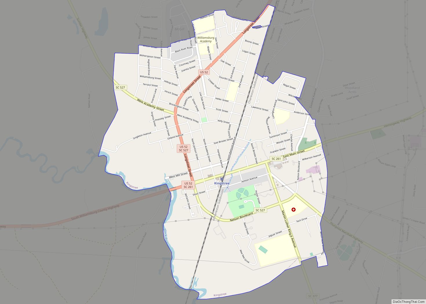
Online Interactive Map
Click on ![]() to view map in "full screen" mode.
to view map in "full screen" mode.
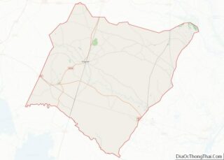
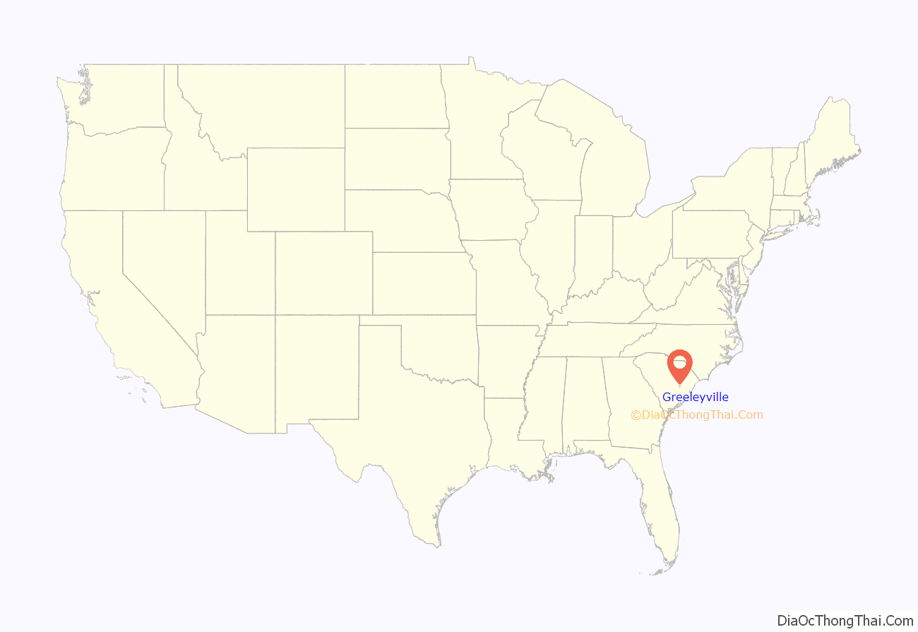
Greeleyville location map. Where is Greeleyville town?
History
The area surrounding Greeleyville was once home to several Native American tribes, including the Wee Nee, Wee Tee, and Mingoes, who inhabited and utilized the region as hunting grounds into the eighteenth century. A remnant population of Native Americans, known as the Goins Indian Community, has lived just north of Greeleyville since the mid-nineteenth century, predating the town of Greeleyville. The community once maintained its own church and during the era of racial segregation, had a state-funded school that operated until 1949. The community today still exists and alleges to be descended from the Wee Nee, among other historic tribes of the Carolinas.
The settlement of Greeleyville traces back to the late nineteenth century, when Samuel J. Taylor, a veteran of the American Civil War, came to the present site of the town with his partner, S.J. Hudson. The two together bought several hundred acres of timber and began the manufacture of turpentine and rosin. Three years later Taylor bought out his partner and began to work with his brother-in-law, W.S. Varner. Taylor used his expertise in the mercantile industry to bring prosperity to the area and although his timber holdings became exhausted within the first fifteen years, opted to remain in the emerging town for both financial and sentimental reasons. Taylor owned 1,200 acres within present-day town limits and, in the pursuit of promoting a town community, would donate land to every industrious and capable man willing to build a home in the area. He also gave land freely for streets, churches, and schools within the town. Greeleyville obtained its name when Taylor, who was depending on the turpentine industry, had ordered a bill of goods for his store and was in need of an address. When Taylor, who was a staunch supporter of Horace Greeley, presented the idea of naming the town to local residents, the majority voted in favor of naming the town in honor of Greeley. It is local lore that Greeley once visited the town and became stranded there, while campaigning for presidency. On December 20, 1893, the town was officially chartered as Greeleyville.
Thomas Walter Boyle was a key figure in the development of Greeleyville during the early 20th century. He held several important positions in the town, including vice-president of the Mallard Lumber Company and president of the Bank of Greeleyville and the Greeleyville Land & Improvement Company. In 1904, Mallard Lumber Company had become the main enterprise of Greeleyville, shipping a variety of types of lumber north for sale. Boyle’s efforts in local manufacturing, merchandising, and other fields significantly contributed to the growth and prosperity of Greeleyville. Before Boyle’s arrival in 1886, the town was relatively small, with only a saw mill, a single store, and two dwelling houses. The nearest school and telegraph office were located several miles away in Foreston, South Carolina. Within thirty-five years, Greeleyville was characterized by various forms of industry and enterprise.
By the mid twentieth century, most sources of employment once available to residents of Greeleyville were no longer existent and this led many to begin seeking work in other communities throughout the state. In 1978, the town gained a medical center and four years later, in 1982, a pharmacy was opened on the site of the town’s former mule and livery stable. The town’s only chain grocery store, IGA, moved to a larger location with expanded parking in 1984. The store later closed and a Super G Foods Store opened in the same location before going out of business in 2008. During the twenty-first century, many shops once located in downtown Greeleyville became abandoned due to competition with big-box stores and other businesses located along nearby U.S. Highway 521.
On May 21, 2021, the town of Greeleyville gathered for the ribbon-cutting ceremony for the Jonte-Sabb Farmer’s Market and Pavilion. The structure is named for senator Ronnie A. Sabb and the late Leonard Jonte, the former CEO and president of the Bank of Greeleyville, who died in 2008. Jonte devoted countless hours to preserving and bettering the town, having co-founded the Greeleyville Flag Day Festival and having served on the Greeleyville Beautification Committee. He also purchased the Varner House, the former home of Samuel J. Taylor, which is thought to be the oldest structure in the town, and opened it to the public as a museum housing historical memorabilia.
Burning of Mt. Zion AME Church
On the night of June 20, 1995, during a string of over thirty suspicious fires at African American churches between 1995 and 1996, Mount Zion AME Church was burned as the result of arson by two Ku Klux Klan members. President Bill Clinton traveled to Greeleyville in June of 1996 to attend the dedication of the rebuilt church, vowing to enlist the full power of the federal government to put an end to the mass burnings of African American churches prevalent at the time. The church became a national symbol of arsons following Clinton’s visit to Greeleyville.
Historic Sites
Locations listed on the National Register of Historic Places:
- The Clarkson Farm Complex
- The McCollum-Murray House
- New Market
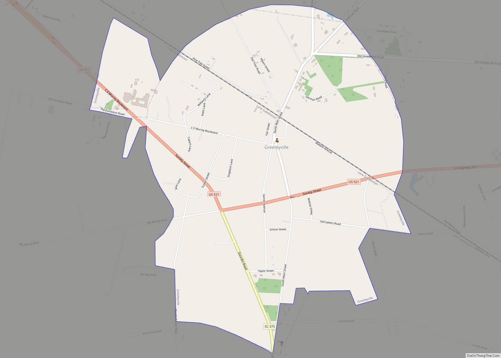
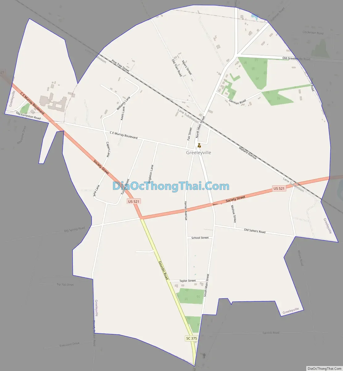
Greeleyville Road Map
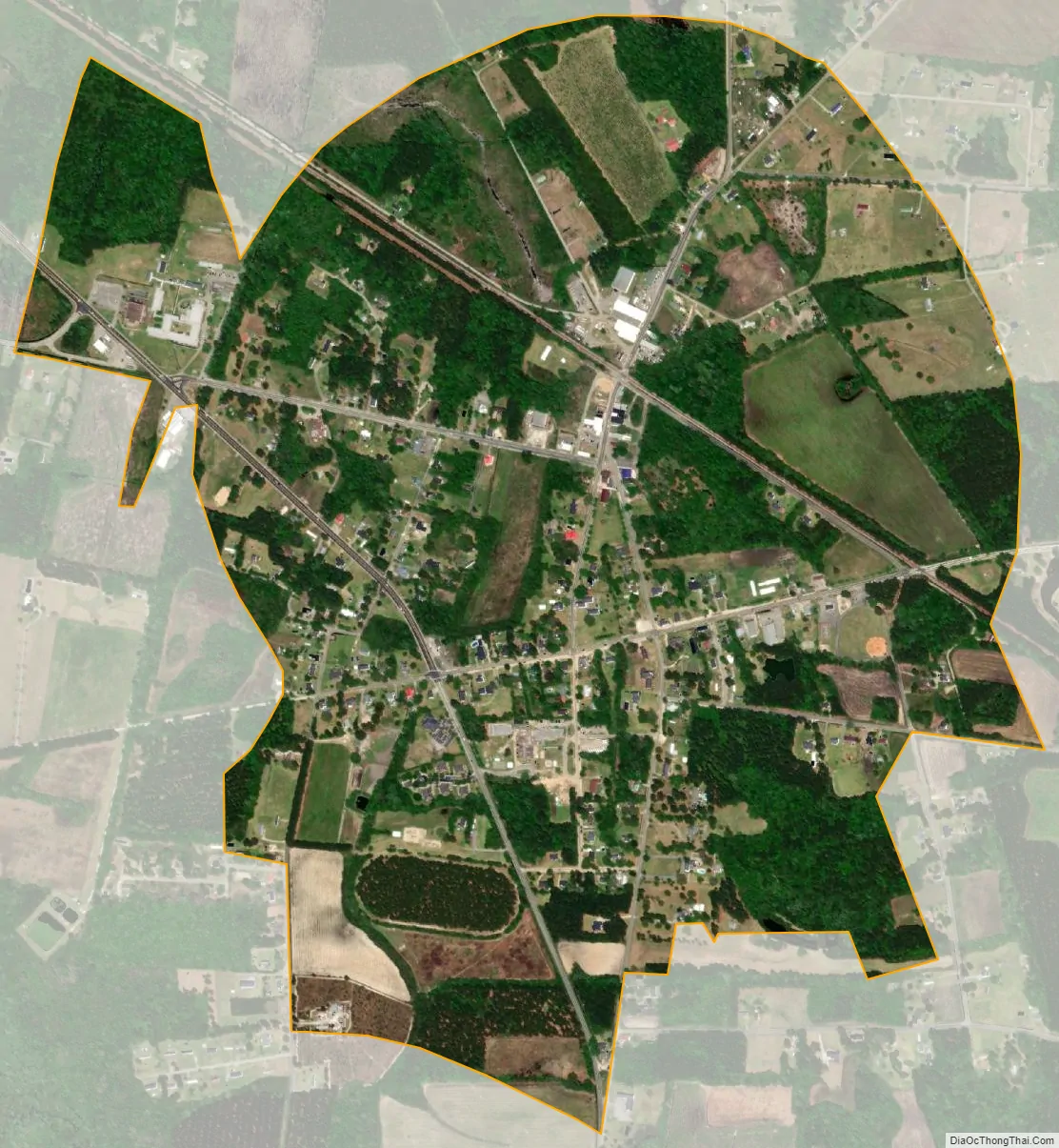
Greeleyville city Satellite Map
Geography
According to the United States Census Bureau, the town has a total area of 1.2 square miles (3.1 km), all of it land.
See also
Map of South Carolina State and its subdivision:- Abbeville
- Aiken
- Allendale
- Anderson
- Bamberg
- Barnwell
- Beaufort
- Berkeley
- Calhoun
- Charleston
- Cherokee
- Chester
- Chesterfield
- Clarendon
- Colleton
- Darlington
- Dillon
- Dorchester
- Edgefield
- Fairfield
- Florence
- Georgetown
- Greenville
- Greenwood
- Hampton
- Horry
- Jasper
- Kershaw
- Lancaster
- Laurens
- Lee
- Lexington
- Marion
- Marlboro
- McCormick
- Newberry
- Oconee
- Orangeburg
- Pickens
- Richland
- Saluda
- Spartanburg
- Sumter
- Union
- Williamsburg
- York
- Alabama
- Alaska
- Arizona
- Arkansas
- California
- Colorado
- Connecticut
- Delaware
- District of Columbia
- Florida
- Georgia
- Hawaii
- Idaho
- Illinois
- Indiana
- Iowa
- Kansas
- Kentucky
- Louisiana
- Maine
- Maryland
- Massachusetts
- Michigan
- Minnesota
- Mississippi
- Missouri
- Montana
- Nebraska
- Nevada
- New Hampshire
- New Jersey
- New Mexico
- New York
- North Carolina
- North Dakota
- Ohio
- Oklahoma
- Oregon
- Pennsylvania
- Rhode Island
- South Carolina
- South Dakota
- Tennessee
- Texas
- Utah
- Vermont
- Virginia
- Washington
- West Virginia
- Wisconsin
- Wyoming