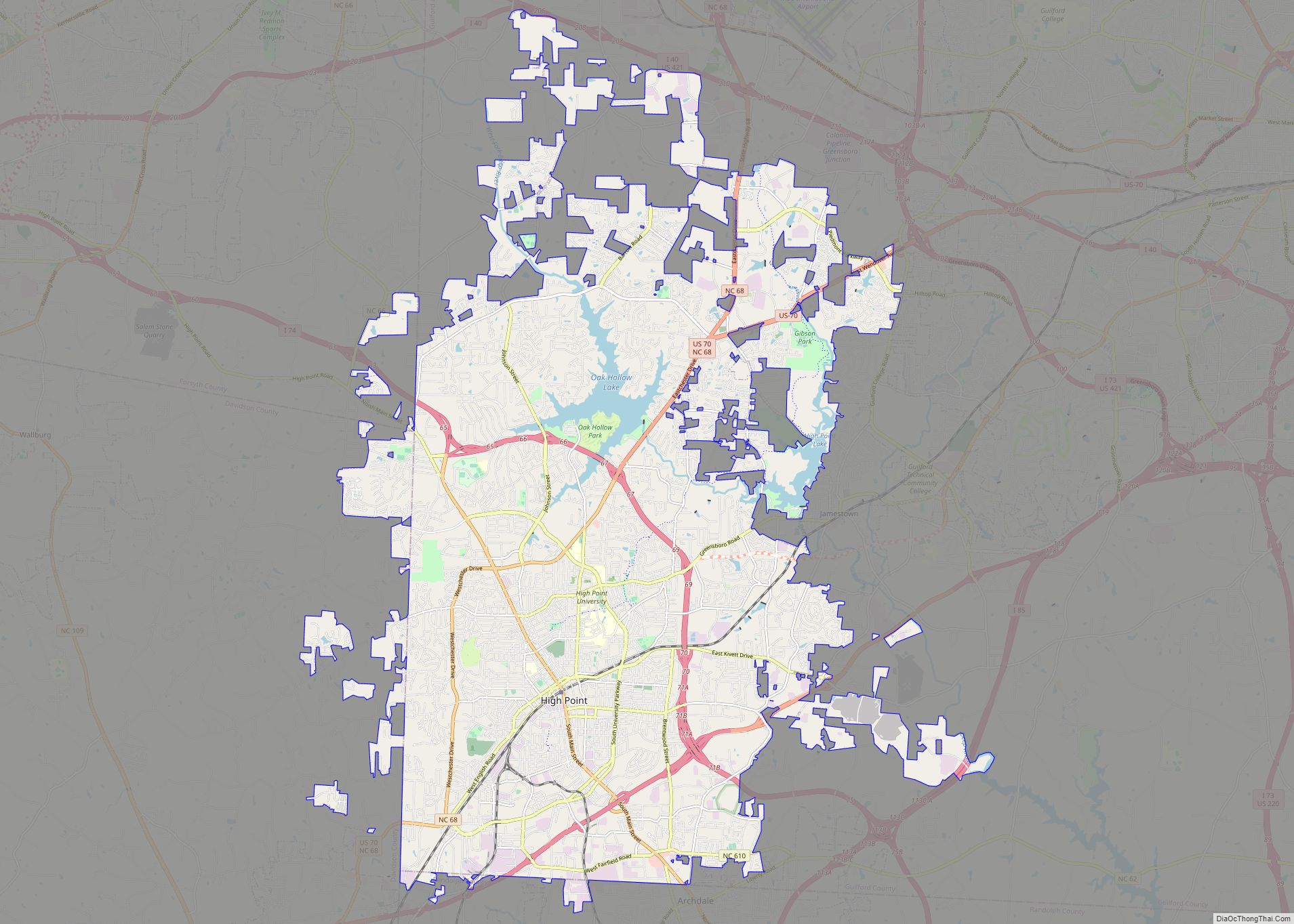
High Point is a city in the Piedmont Triad region of the U.S. state of North Carolina. Most of the city is in Guilford County, with parts extending into Randolph, Davidson, and Forsyth counties. High Point is North Carolina’s only city that extends into four counties. As of the 2020 census the city had a ... Read more
Popular US cities & places
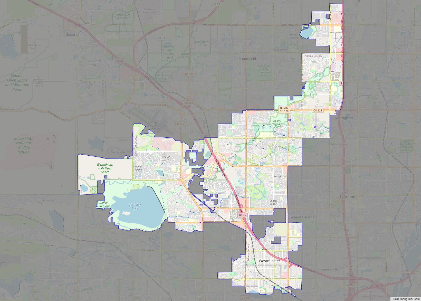
The City of Westminster is a home rule municipality located in Adams and Jefferson counties, Colorado, United States. The city population was 116,317 at the 2020 United States Census with 71,240 residing in Adams County and 45,077 residing in Jefferson County. Westminster is the eighth most populous city in Colorado. The city is a part ... Read more
Antioch is the third-largest city in Contra Costa County, California, United States. The city is located in the East Bay region of the San Francisco Bay Area along the Sacramento–San Joaquin River Delta. The city’s population was 115,291 at the 2020 census. The city has grown substantially more diverse since the 1970s. Antioch city overview: ... Read more
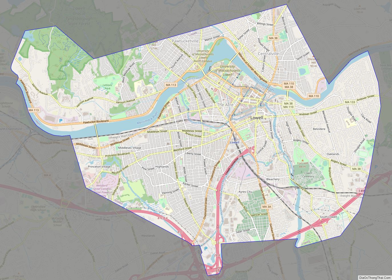
Lowell (/ˈloʊəl/) is a city in Massachusetts, in the United States. Alongside Cambridge, It is one of two traditional seats of Middlesex County. With an estimated population of 115,554 in 2020, it was the fifth most populous city in Massachusetts as of the last census, and the third most populous in the Boston metropolitan statistical ... Read more
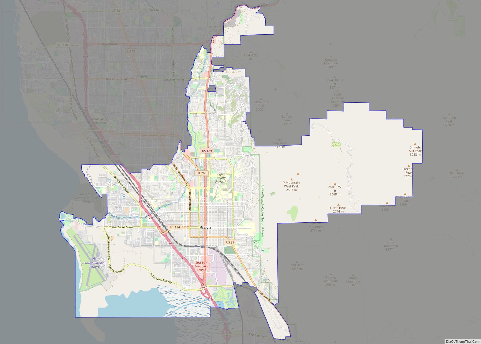
Provo (/ˈproʊvoʊ/ PROH-voh) is the fourth-largest city in Utah, United States. It is 43 miles (69 km) south of Salt Lake City along the Wasatch Front. Provo is the largest city and county seat of Utah County and lies between the cities of Orem to the north and Springville to the south. With a population at ... Read more
Elgin (/ˈɛldʒɪn/ EL-jin) is a city in Cook and Kane counties in the northern part of Illinois, United States. Elgin is located 35 mi (56 km) northwest of Chicago, along the Fox River. As of the 2020 Census, the city had a population of 114,797, the sixth-largest city in Illinois. Elgin city overview: Name: Elgin city LSAD ... Read more
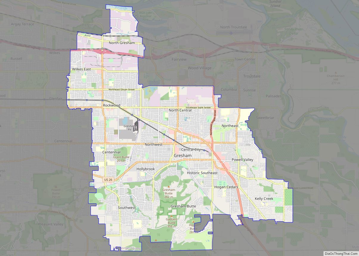
Gresham (/ˈɡrɛʃəm/ GRESH-əm) is a city located in Multnomah County, Oregon, in the United States of America, immediately east of Portland, Oregon. It is considered a suburb within the Greater Portland Metropolitan area. Though it began as a settlement in the mid-1800s, it was not officially incorporated as a city until 1905; it was named ... Read more
Springfield is the capital of the U.S. state of Illinois and the county seat and largest city of Sangamon County. The city’s population was 114,394 at the 2020 census, which makes it the state’s seventh most-populous city, the second largest outside of the Chicago metropolitan area (after Rockford), and the largest in central Illinois. Approximately ... Read more
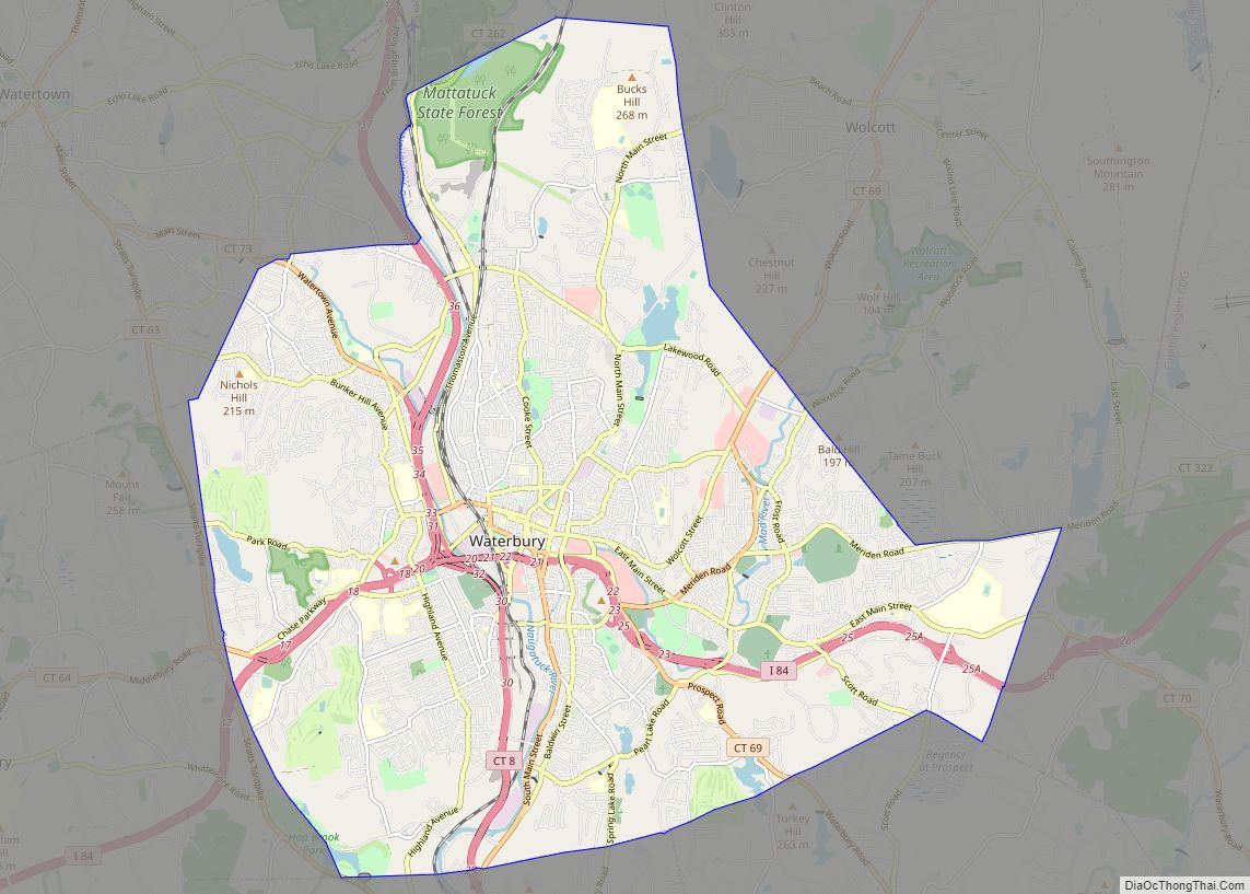
Waterbury is a city in the U.S. state of Connecticut on the Naugatuck River, 33 miles (53 km) southwest of Hartford and 77 miles (124 km) northeast of New York City. Waterbury is the largest city in the Naugatuck Valley Planning Region and second-largest city in New Haven County. According to the 2020 US Census, in 2020 ... Read more
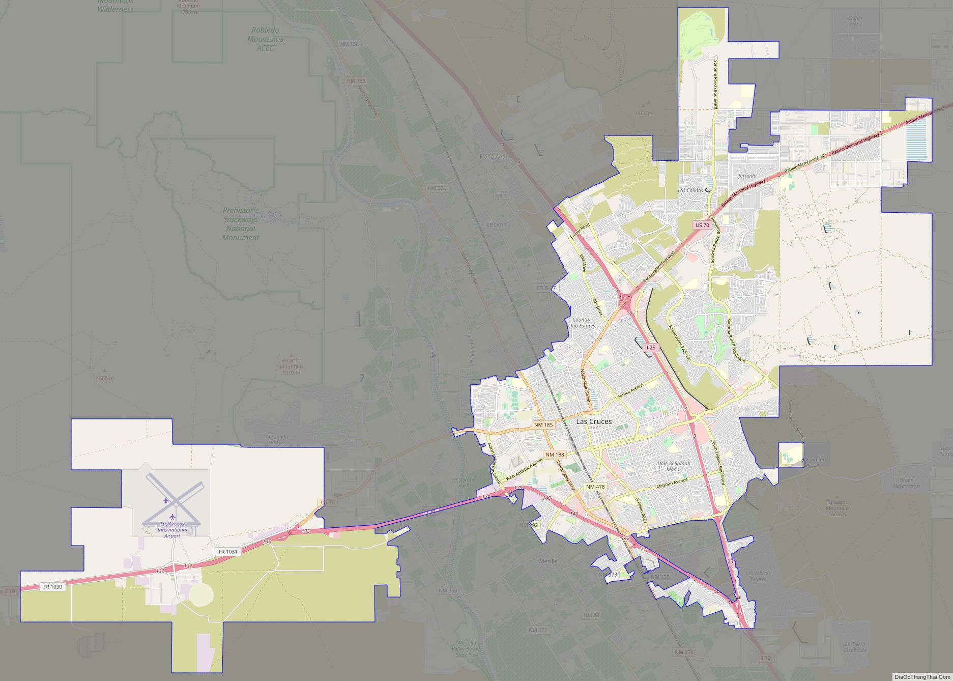
Las Cruces (/lɑːsˈkrusɪs/; Spanish: [las ‘kruses] “the crosses”) is the second-largest city in the U.S. state of New Mexico and the seat of Doña Ana County. As of the 2020 census the population was 111,385. Las Cruces is the largest city in both Doña Ana County and southern New Mexico. The Las Cruces metropolitan area had ... Read more
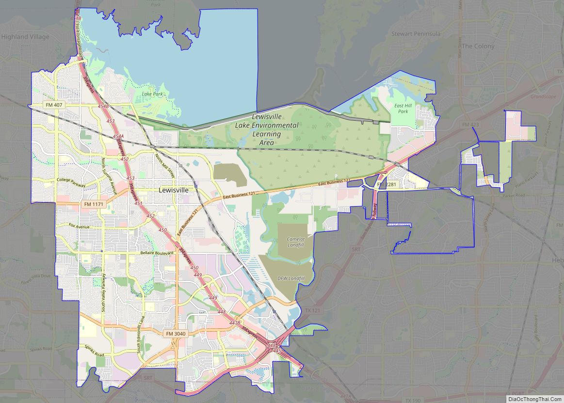
Lewisville (/ˈluːɪsvɪl/ LOO-iss-vil) is a city in the U.S. state of Texas, predominantly within Denton County with a small part lying within Dallas County. As a suburban community within the Dallas–Fort Worth metroplex, the 2020 census tabulated a population of 111,822. Originally called Holford’s Prairie, Lewisville dates back to the early 1840s. The arrival of ... Read more
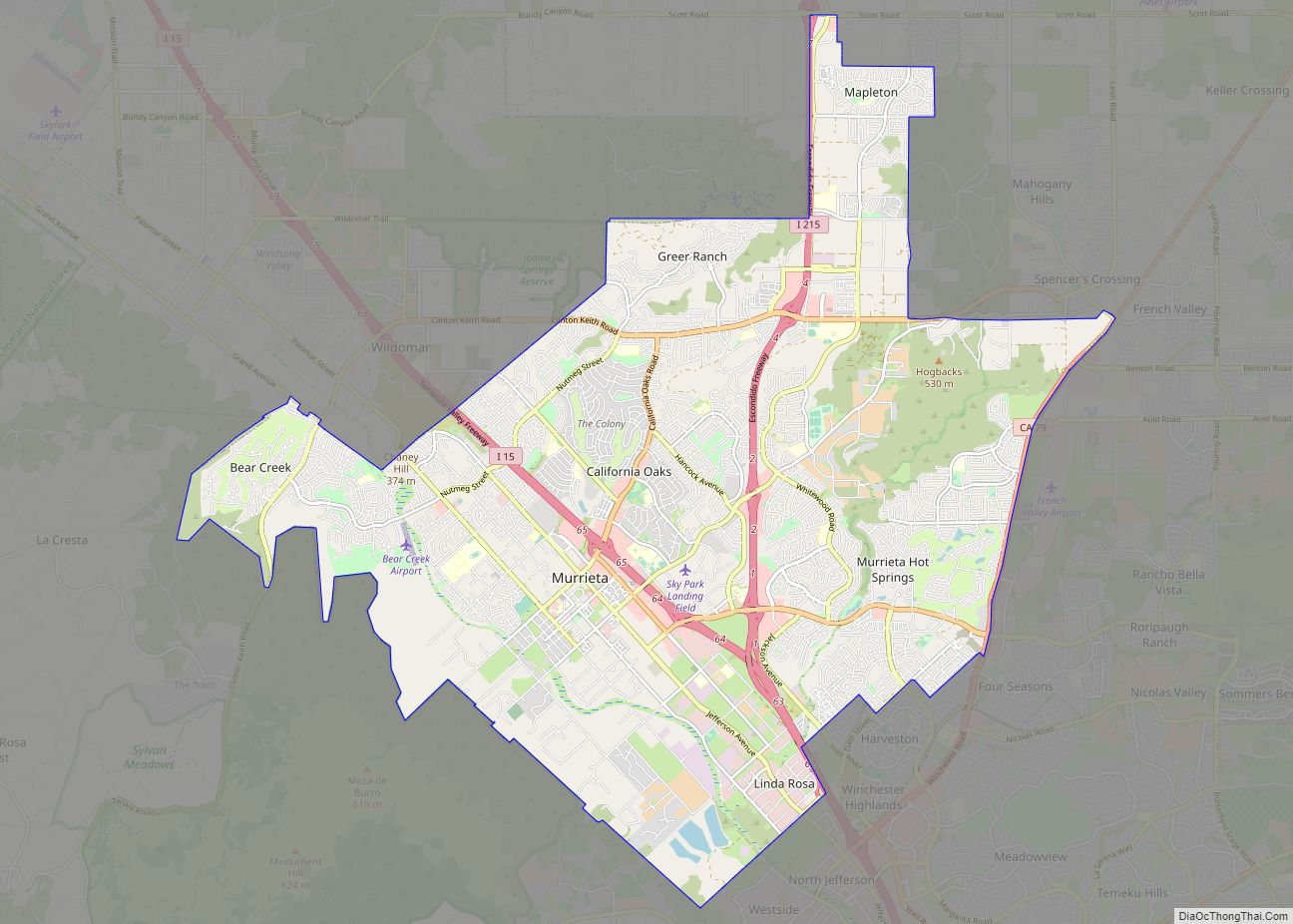
Murrieta /mjʊəriˈɛtə/ is a city in southwestern Riverside County, California, United States. The population of Murrieta was 110,949 as of the 2020 census. Murrieta experienced a 133.7% population increase between 2000 and 2010, making Murrieta one of the fastest-growing cities in the state during that period. Largely residential in character, Murrieta is typically characterized as ... Read more
