Provo (/ˈproʊvoʊ/ PROH-voh) is the fourth-largest city in Utah, United States. It is 43 miles (69 km) south of Salt Lake City along the Wasatch Front. Provo is the largest city and county seat of Utah County and lies between the cities of Orem to the north and Springville to the south. With a population at the 2020 census of 115,162, Provo is the principal city in the Provo-Orem metropolitan area, which had a population of 526,810 at the 2010 census. It is Utah’s second-largest metropolitan area after Salt Lake City.
Provo is the home to Brigham Young University, a private higher education institution operated by the Church of Jesus Christ of Latter-day Saints (LDS Church). Provo also has the LDS Church’s largest Missionary Training Center (MTC). The city is a focus area for technology development in Utah, with several billion-dollar startups. The city’s Peaks Ice Arena was a venue for the Salt Lake City Winter Olympics in 2002. Sundance Resort is 13 miles (21 km) northeast, up Provo Canyon.
In 2015, Forbes cited Provo among the “Best Small And Medium-Size Cities For Jobs,” and the Bureau of Labor Statistics found Utah County had the year’s highest job growth. In 2013, Forbes ranked Provo the No. 2 city on its list of Best Places for Business and Careers. Provo was ranked first for community optimism (2012) and first in health/well-being (2014).
| Name: | Provo city |
|---|---|
| LSAD Code: | 25 |
| LSAD Description: | city (suffix) |
| State: | Utah |
| County: | Utah County |
| Founded: | 1849 |
| Incorporated: | April 1850 |
| Elevation: | 4,551 ft (1,387 m) |
| Land Area: | 41.69 sq mi (107.97 km²) |
| Water Area: | 2.50 sq mi (6.47 km²) |
| Population Density: | 2,762.34/sq mi (1,066.61/km²) |
| FIPS code: | 4962470 |
| Website: | www.provo.org |
Online Interactive Map
Click on ![]() to view map in "full screen" mode.
to view map in "full screen" mode.
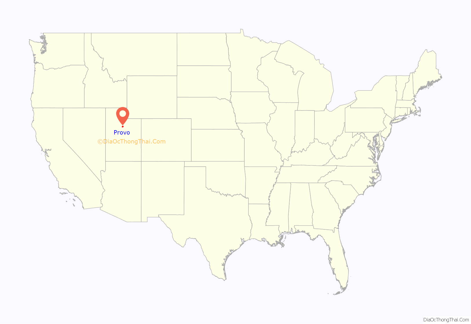
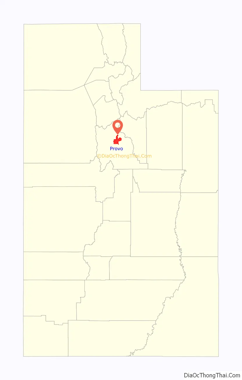
Provo location map. Where is Provo city?
History
The Provo area was originally called Timpanogas, a Numic (Ute people) word perhaps meaning “rock river”. The area was inhabited by the Timpanogos. It was the largest and most settled area in modern-day Utah. The ample food from the Provo River made the Timpanogos a peaceful people. The area also served as the traditional meeting place for the Ute and Shoshone tribes and as a spot to worship their creator.
Father Silvestre Vélez de Escalante, a Spanish Franciscan missionary-explorer, is considered the first European explorer to have visited the area in 1776. He was guided by two Timpanogos Utes, whom he called Silvestre and Joaquín. Escalante chronicled this first European exploration across the Great Basin Desert. The Europeans did not build a permanent settlement but traded with the Timpanogos, whom they called Lagunas (lake people) or Come Pescado (fish eaters).
In 1847, the Mormon pioneers arrived in the Salt Lake Valley, which was just north of Timpanogos Mountain. At first, the Natives were friendly with the Mormons. But, as relations deteriorated with the Shoshoni and Utes because of disputes over land and cattle, tensions rose. Because of the reported stolen goods of settlers by the Utes, Brigham Young gave small militia orders “to take such measures as would put a final end to their [Indian] depredations in future.” This ended in what is known as the Battle Creek massacre, in modern-day Pleasant Grove, Utah.
The Mormons continued pushing into Timpanog lands. In 1849, 33 Mormon families from Salt Lake City established Fort Utah. In 1850, Brigham Young sent an army from Salt Lake to drive out the Timpanogos in what is called the Provo War. Escalating tensions with the Timpanog contributed to the Walker War. Fort Utah was renamed Provo in 1850 for Étienne Provost, an early French-Canadian trapper who arrived in the region in 1825.
In 1850, the first schoolhouse was constructed in Provo, built within Utah Fort.
As more Latter-day Saints arrived, Provo quickly grew as a city. It soon was nicknamed The Garden City with a large number of fruit orchards and gardens there.
In 1872, a railroad reached Provo. It was also this year that the Provo Woolen Mills opened. They were the first large factory in Provo and employed about 150 people, initially mainly skilled textile laborers who had emigrated from Britain.
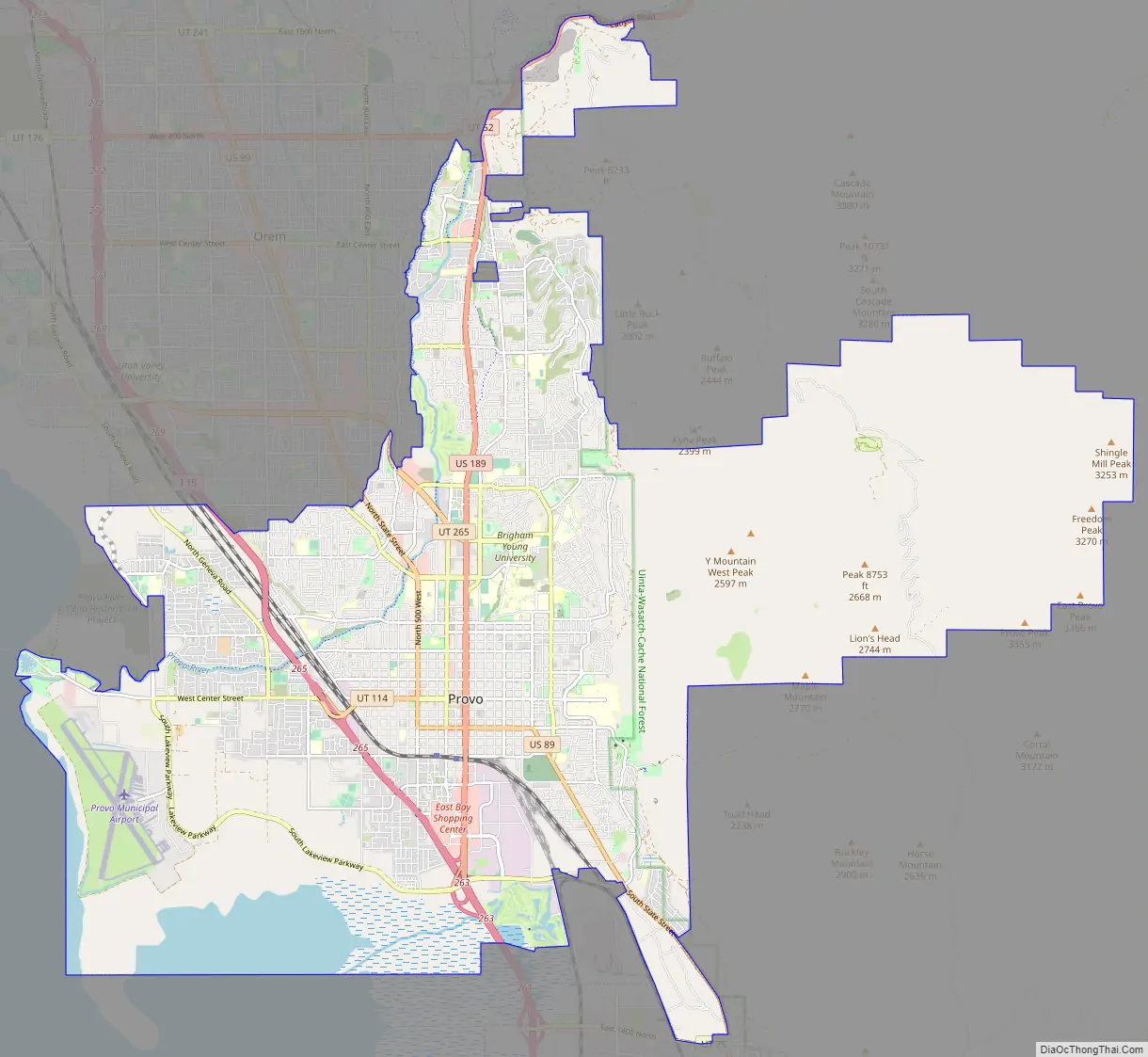
Provo Road Map
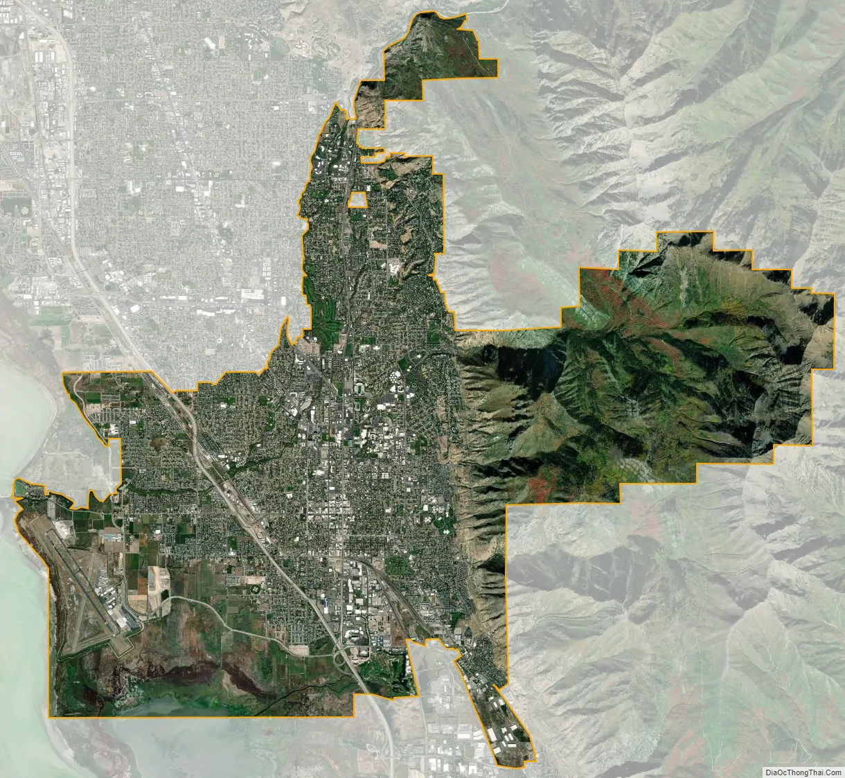
Provo city Satellite Map
Geography
Provo lies on the eastern bank of Utah Lake in Utah Valley at an elevation of 4,549 feet (1,387 m). According to the United States Census Bureau, the city has an area of 44.2 square miles (114.4 km), of which 41.7 square miles (107.9 km) is land and 2.5 square miles (6.5 km), or 5.66%, is water.
The Wasatch Range contains many peaks within Utah County along the east side of the Wasatch Front. One of them, known as Y Mountain, towers over the city. There is a large hillside letter Y made of whitewashed concrete halfway up the steep mountain, built in the early part of the 20th century to commemorate BYU (original plans included construction use of all three letters). Wild deer (and less frequently, cougars, and moose) still roam the mountains (and occasionally the city streets). The geography allows for hiking, skiing, fishing and other outdoor activities.
Climate
Provo’s climate can be classified as either a hot-summer Mediterranean climate classification (Köppen Csa) or as a cool semi-arid climate (Köppen BSk). Overall, annual rainfall at the location of Brigham Young University is around 17.23 inches or 440 millimetres; however, the western part of the metropolitan area near Orem is substantially drier, receiving only around 13.5 inches or 340 millimetres of precipitation and consequently has a cool semi-arid climate (Köppen BSk). The wettest calendar year in Provo has been 1983 with 37.54 inches (953.5 mm) and the driest 2020 with 7.28 inches (184.9 mm).
Winters are cold with substantial snowfall averaging 57.2 inches or 1.45 metres and a record monthly total of 66.0 inches (1.68 m) in January 1918, during which the record snow cover of 34 inches or 0.86 metres was recorded on the 17th. Seasonal snowfall has ranged from 127.5 inches (3.24 m) in 1983–84 to 10.1 inches (0.26 m) in 2014–15. Very cold weather may occur when cold air from over the Continental Divide invades the region: although only four mornings fall to or below 0 °F or −17.8 °C during an average winter and this temperature was not reached at all between 1999 and 2006, during the very cold January 1917 (average temperature 14.9 °F or −9.5 °C), seventeen mornings fell this cold. By contrast, in several recent winters like 1994–95, 1995–96, 1999–2000, 2004–05, and 2005–06, averages have been above freezing every month.
Temperatures warm rapidly during the spring, with the first afternoon over 70 °F or 21.1 °C on March 21, the last freeze expected on April 29, and the first temperature equal to or hotter than 90 °F or 32.2 °C on May 30. Rainfall is not infrequent during the spring: over 5.10 inches or 130 millimetres was recorded in the Mays of 1995 and 2011, and a total of 12.29 inches (312.2 mm) fell during the four-month span of March to June 2005 – in contrast as little as 2.04 inches (51.8 mm) fell in the same months of 2012.
Being too far north to gain any influence from the monsoon except in rare cases like the 4.38 inches (111.3 mm) rainfall of August 1983, Provo’s summers are hot and dry, though relatively short – no maxima above 100 °F or 37.8 °C have been recorded outside the range of June 7 to August 27. Monthly maxima average over 91 °F or 32.8 °C in July and August, and precipitation averages under one inch per month with a two-month total in 2016 as low as 0.06 inches or 1.5 millimetres. The hottest month on record is July 2003 with a mean of 81.8 °F or 27.7 °C, and a mean maximum of 99.0 °F or 37.2 °C. The hottest temperature on record is 108 °F (42.2 °C) on July 13, 2002.
The fall season sees steady cooling and a transition to winter weather, with rare influences of rain systems from further south, as in the record wet month of September 1982, which saw 6.53 inches (165.9 mm) of total precipitation, including 4.15 inches (105.4 mm) over the last six days from a storm moving from Arizona. The last maximum of 90 °F (32.2 °C) can be expected around September 10, and the first morning below freezing on October 14.
See also
Map of Utah State and its subdivision: Map of other states:- Alabama
- Alaska
- Arizona
- Arkansas
- California
- Colorado
- Connecticut
- Delaware
- District of Columbia
- Florida
- Georgia
- Hawaii
- Idaho
- Illinois
- Indiana
- Iowa
- Kansas
- Kentucky
- Louisiana
- Maine
- Maryland
- Massachusetts
- Michigan
- Minnesota
- Mississippi
- Missouri
- Montana
- Nebraska
- Nevada
- New Hampshire
- New Jersey
- New Mexico
- New York
- North Carolina
- North Dakota
- Ohio
- Oklahoma
- Oregon
- Pennsylvania
- Rhode Island
- South Carolina
- South Dakota
- Tennessee
- Texas
- Utah
- Vermont
- Virginia
- Washington
- West Virginia
- Wisconsin
- Wyoming


