The City of Westminster is a home rule municipality located in Adams and Jefferson counties, Colorado, United States. The city population was 116,317 at the 2020 United States Census with 71,240 residing in Adams County and 45,077 residing in Jefferson County. Westminster is the eighth most populous city in Colorado. The city is a part of the Denver–Aurora–Lakewood, CO Metropolitan Statistical Area and the Front Range Urban Corridor. The Westminster Municipal Center is located 9 miles (14 km) north-northwest of the Colorado State Capitol in Denver.
| Name: | Westminster city |
|---|---|
| LSAD Code: | 25 |
| LSAD Description: | city (suffix) |
| State: | Colorado |
| County: | Adams County, Jefferson County |
| Incorporated: | May 24, 1911 as the Town of Westminster |
| Elevation: | 5,384 ft (1,641 m) |
| Total Area: | 33.898 sq mi (87.796 km²) |
| Land Area: | 31.585 sq mi (81.806 km²) |
| Water Area: | 2.313 sq mi (5.990 km²) |
| Total Population: | 116,317 |
| Population Density: | 3,683/sq mi (1,422/km²) |
| ZIP code: | 80003, 80005, 80020-80021, 80023, 80030-80031, 80035-80036, 80221, 80234, 80241, 80260 |
| Area code: | Both 303 and 720 |
| FIPS code: | 0883835 |
| GNISfeature ID: | 0204703 |
| Website: | www.cityofwestminster.us |
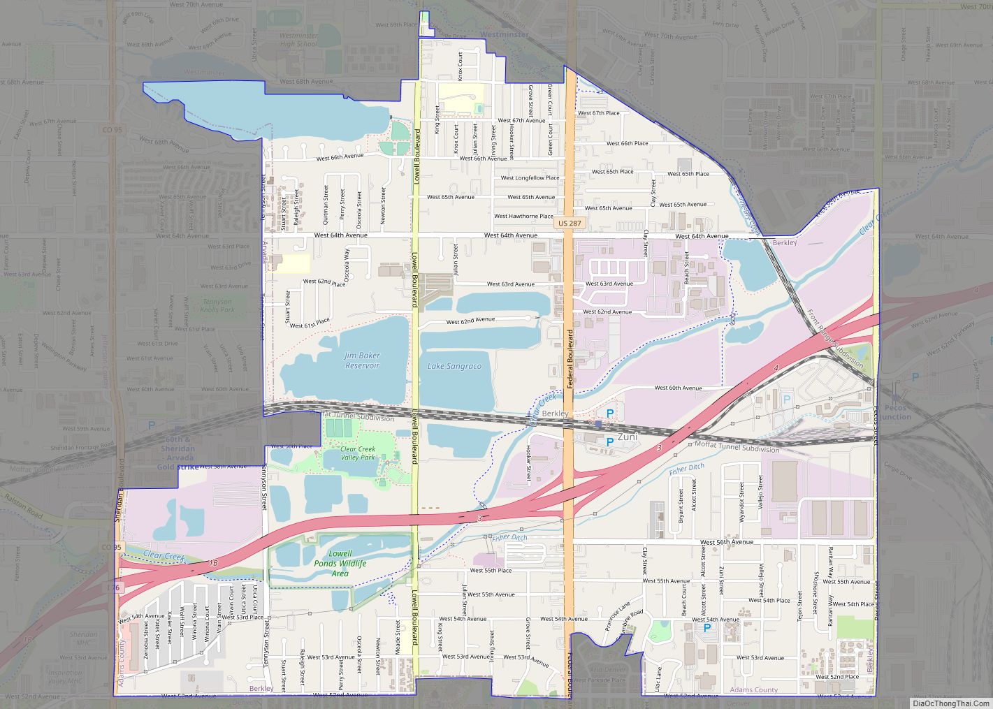
Online Interactive Map
Click on ![]() to view map in "full screen" mode.
to view map in "full screen" mode.
Westminster location map. Where is Westminster city?


History
Gold discovered in the South Platte River Valley in 1858 brought national attention to the area that would become Westminster, Colorado. The promise of fortune and The Homestead Act of 1862 encouraged many pioneers from the east to settle in Colorado rather than continue on to California. Before the settlements came, wildlife like antelope and buffalo made their homes in the area. There is also evidence of Arapaho Indians near the Crown Point (Gregory Hill) area. Westminsters’ first permanent settler was Kentucky farmer Pleasant DeSpain, who built his home in 1870 on 160 acres (near what is now West 76th Avenue and Lowell Street). The area became known as DeSpain Junction and attracted other settlers including Edward Bruce Bowles, who in 1881 constructed a brick Italianate house now known as the Bowles House. It was listed on the National Register of Historic Places in 1988. The village of DeSpain Junction grew into a small farming community and continued to attract new settlers despite the difficulty of farming in Colorado’s arid climate. Connecticut real estate developer C.J. Harris arrived in DeSpain Junction in 1885 and purchased the DeSpain farm, among others. Harris combined the separate homesteads and divided it into smaller tracts of land, which he sold to fruit farmers. Harris renamed DeSpain Junction with his own name and the area was referred to as Harris, Colorado. In 1890, New Yorker Henry T. Mayham convinced the Denver Presbytery to build a university on land that he owned in Harris. After delays caused by the depression of 1893, the school was built from red sandstone quarried in Colorado’s Red Rocks region. The curriculum was patterned after Princeton University and was referred to as the “Princeton of the West”. The school was incorporated as Westminster University of Colorado, and classes began in 1908 with one year’s tuition costing $50 ($1,411 in 2018). The school ceased operating in 1917, when all students in attendance left to fight in World War I. In the following decade it operated as a church and school. In 1911, Harris voted to incorporate as a city and changed its name to Westminster, in honor of the university which is now on the National Register of Historic Places.
In July 2006, it was ranked as the 24th best place to live in the US by Money magazine.
Bell Tower
Westminster City Hall features a 14-story bell tower topped by a pyramid shaped steel mesh structure. The 130-foot spire, which is widely known and referenced as a community landmark, was first conceptualized as a symbolic tie and tribute to the clock tower of Westminster Palace in England known as Big Ben. The unveiling of the Bell Tower in 1986 was attended by the then mayor of Westminster, England. An English Oak can be seen on the City Hall property today- a gift to Westminster, Colorado, from Westminster, England.
Westminster Road Map
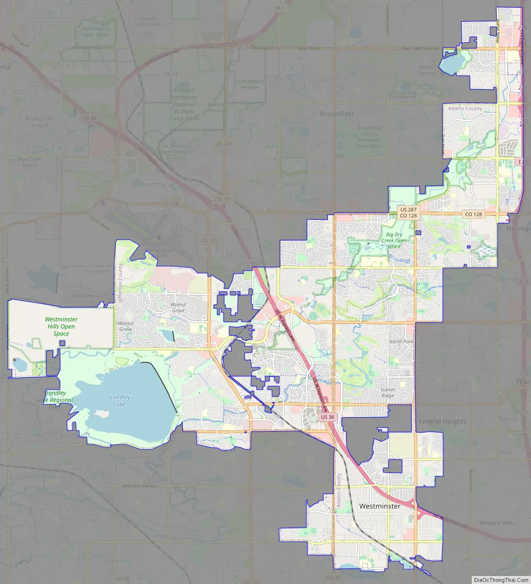
Westminster city Satellite Map

Geography
Westminster is located in western Adams County and northeastern Jefferson County at 39°52′N 105°03′W / 39.867°N 105.050°W / 39.867; -105.050 (39.862, -105.048). It is bordered to the north by Broomfield, to the northeast by Thornton, to the east by Northglenn and Federal Heights, to the southeast by Sherrelwood, Twin Lakes and Berkley, and to the south by Arvada.
At the 2020 United States Census, the town had a total area of 21,695 acres (87.796 km) including 1,480 acres (5.990 km) of water.
See also
Map of Colorado State and its subdivision:- Adams
- Alamosa
- Arapahoe
- Archuleta
- Baca
- Bent
- Boulder
- Broomfield
- Chaffee
- Cheyenne
- Clear Creek
- Conejos
- Costilla
- Crowley
- Custer
- Delta
- Denver
- Dolores
- Douglas
- Eagle
- El Paso
- Elbert
- Fremont
- Garfield
- Gilpin
- Grand
- Gunnison
- Hinsdale
- Huerfano
- Jackson
- Jefferson
- Kiowa
- Kit Carson
- La Plata
- Lake
- Larimer
- Las Animas
- Lincoln
- Logan
- Mesa
- Mineral
- Moffat
- Montezuma
- Montrose
- Morgan
- Otero
- Ouray
- Park
- Phillips
- Pitkin
- Prowers
- Pueblo
- Rio Blanco
- Rio Grande
- Routt
- Saguache
- San Juan
- San Miguel
- Sedgwick
- Summit
- Teller
- Washington
- Weld
- Yuma
- Alabama
- Alaska
- Arizona
- Arkansas
- California
- Colorado
- Connecticut
- Delaware
- District of Columbia
- Florida
- Georgia
- Hawaii
- Idaho
- Illinois
- Indiana
- Iowa
- Kansas
- Kentucky
- Louisiana
- Maine
- Maryland
- Massachusetts
- Michigan
- Minnesota
- Mississippi
- Missouri
- Montana
- Nebraska
- Nevada
- New Hampshire
- New Jersey
- New Mexico
- New York
- North Carolina
- North Dakota
- Ohio
- Oklahoma
- Oregon
- Pennsylvania
- Rhode Island
- South Carolina
- South Dakota
- Tennessee
- Texas
- Utah
- Vermont
- Virginia
- Washington
- West Virginia
- Wisconsin
- Wyoming