Gresham (/ˈɡrɛʃəm/ GRESH-əm) is a city located in Multnomah County, Oregon, in the United States of America, immediately east of Portland, Oregon. It is considered a suburb within the Greater Portland Metropolitan area. Though it began as a settlement in the mid-1800s, it was not officially incorporated as a city until 1905; it was named after Walter Quintin Gresham, the American Civil War general and United States Secretary of State.
The city’s early economy was sustained largely by farming, and by the mid-20th century the city experienced a population boom, growing from 4,000 residents to over 10,000 between 1960 and 1970. The population was 114,247 at the 2020 census, making Gresham the fourth largest city in Oregon.
| Name: | Gresham city |
|---|---|
| LSAD Code: | 25 |
| LSAD Description: | city (suffix) |
| State: | Oregon |
| County: | Multnomah County |
| Incorporated: | 1905 |
| Elevation: | 325 ft (99 m) |
| Land Area: | 23.52 sq mi (60.91 km²) |
| Water Area: | 0.13 sq mi (0.35 km²) |
| Population Density: | 4,857.65/sq mi (1,875.55/km²) |
| ZIP code: | 97030, 97080, 97233 |
| Area code: | 503 and 971 |
| FIPS code: | 4131250 |
| GNISfeature ID: | 1121424 |
| Website: | www.greshamoregon.gov |
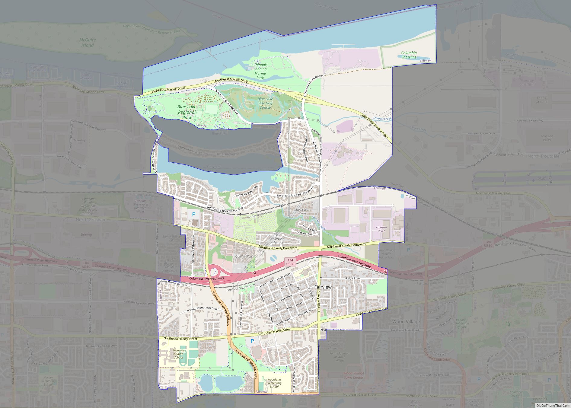
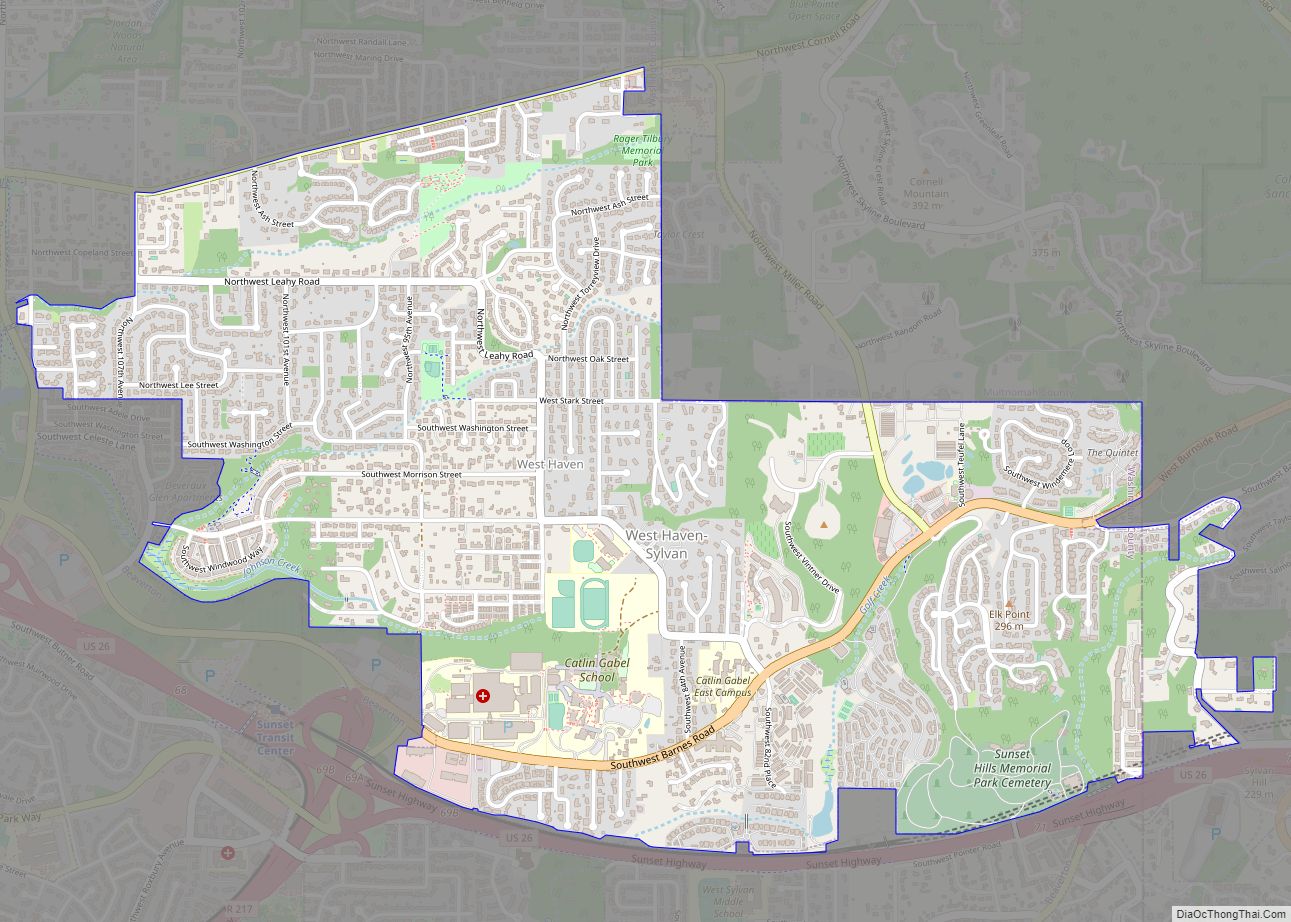
Online Interactive Map
Click on ![]() to view map in "full screen" mode.
to view map in "full screen" mode.
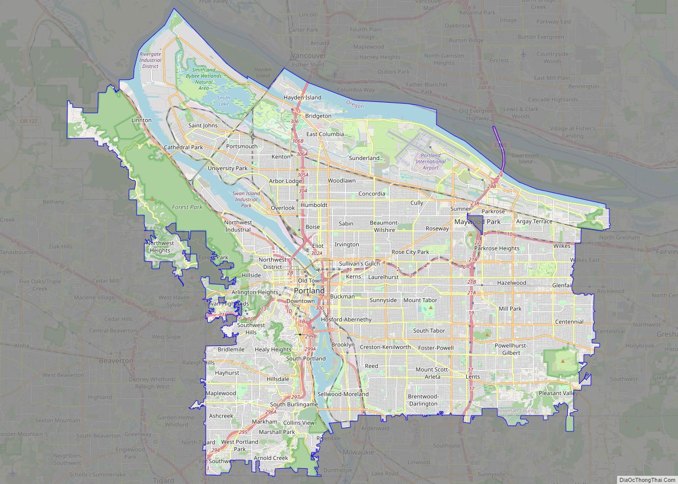
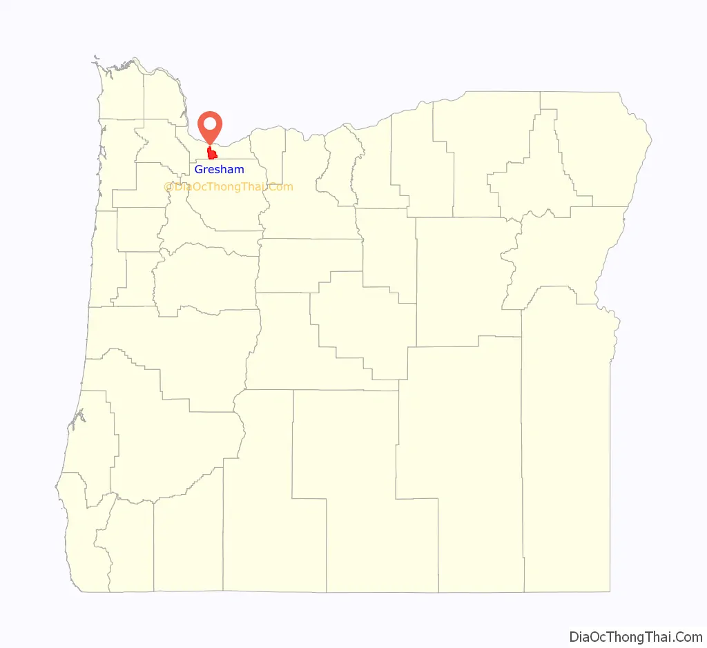
Gresham location map. Where is Gresham city?

History
The area now known as Gresham was first settled in 1851 by brothers Jackson and James Powell, who claimed land under the Donation Land Claim Act of 1850. They were soon joined by other pioneer families, and the area came to be known as Powell’s Valley. In 1884, a local merchant petitioned the United States Post Office Department for a post office in his store, and offered to name it after Postmaster General Walter Q. Gresham if his request was granted. At the same time, other members of the community secured a post office called “Campground”, another name for the area, referencing the religious camp meeting ground located there and the valley’s usefulness as a stop-off for travelers on their way to Portland. Once the Post Office Department realized its mistake, it revoked the Campground post office.
Gresham was incorporated in 1905, the year of the Lewis and Clark Centennial Exposition; its population at the time was 365. Lewis Shattuck, son of a pioneer family, was the first mayor. The town’s economy was fueled largely by farming, including berries, grapes, and vegetables. At the time, trains ran between Gresham and Portland on an hourly basis. Gresham’s early settlers would go on to form the outlying communities of Boring, Sandy, Fairview, and Estacada.
Gresham’s city library, which began as a small book collection in the town’s general store, was officially established as the Gresham Branch Public Library in 1913 with a grant from the Andrew Carnegie library fund.
Gresham General Hospital opened in 1959 in downtown Gresham. In 1984, the hospital moved to Stark Street and became Mount Hood Medical Center.
In August 2016, the town was the place of the racially motivated murder of Larnell Bruce.
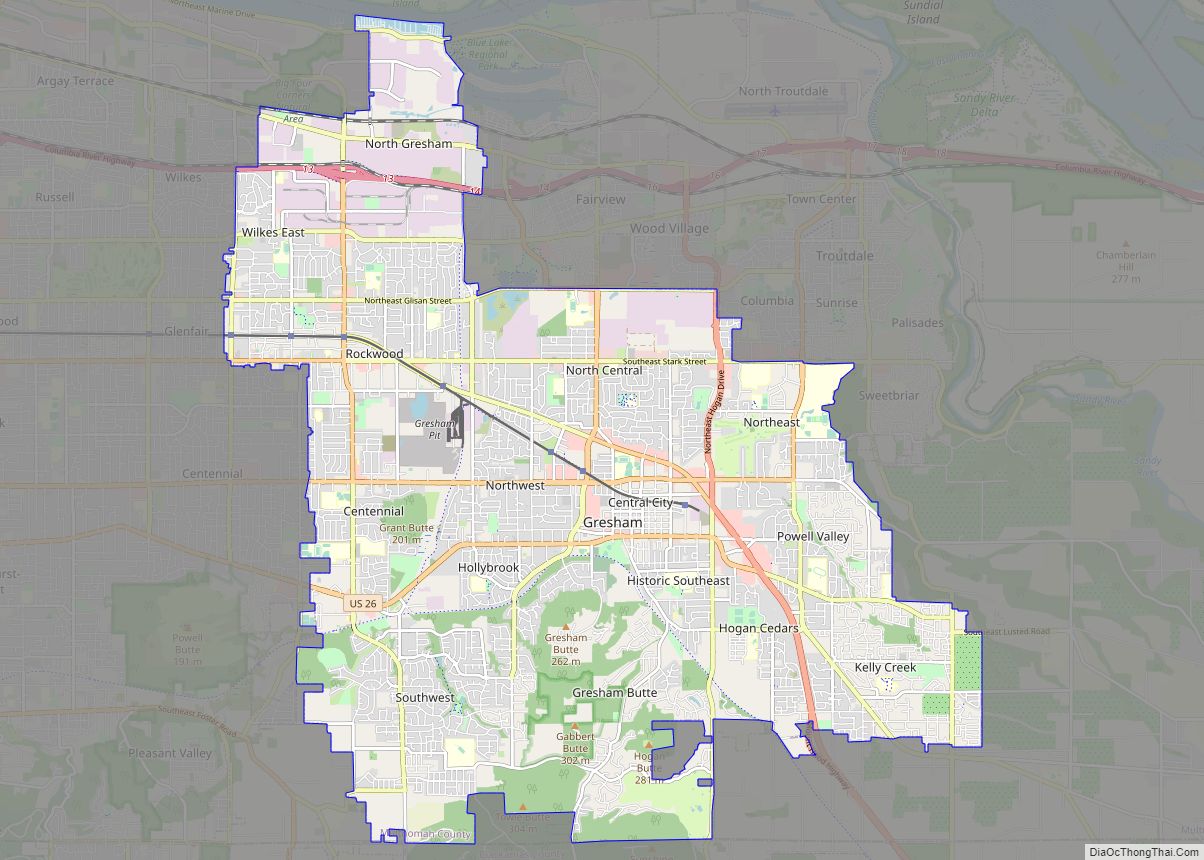
Gresham Road Map

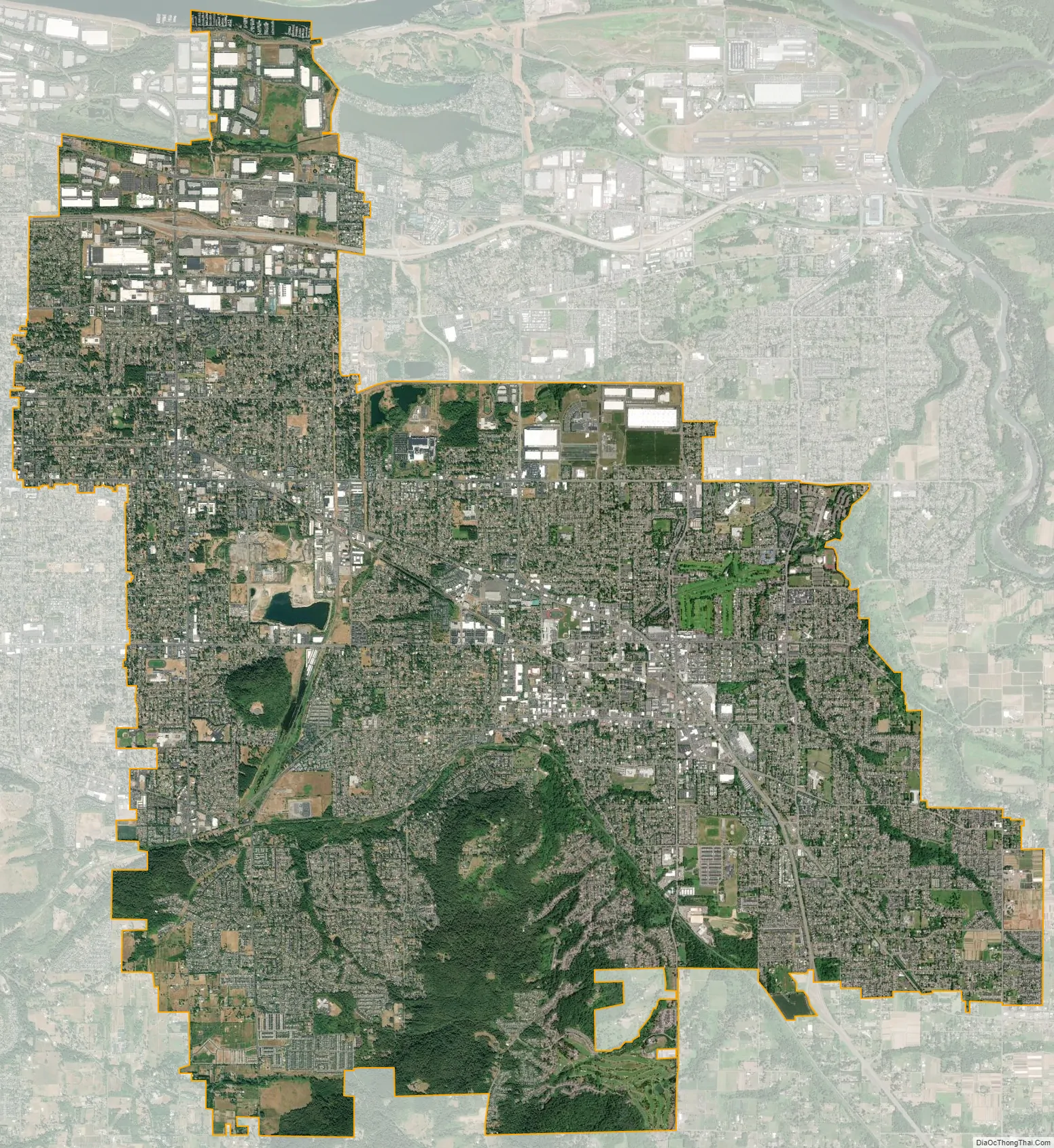
Gresham city Satellite Map
Geography
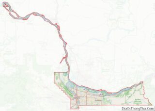
According to the United States Census Bureau, the city has a total area of 23.43 square miles (60.68 km), of which 23.20 square miles (60.09 km) is land and 0.23 square miles (0.60 km) is water. The total area includes parts of Fairview Creek and Johnson Creek.
Topography
Gresham is located twelve miles (19 km) from downtown Portland; the dividing line between Portland and Gresham’s city limits is roughly at SE 162nd Avenue in some areas, and 172nd Avenue in others. Gresham’s north and south borders are divided along U.S. Route 26, also known as the Mount Hood Highway, which begins on its western border along Powell Boulevard, then continues on Burnside Street before returning to the Mount Hood Highway in east Gresham. The city is located roughly seventy miles (110 km) east of the Oregon Coast.
Though much of Gresham is relatively flat, it is characterized by a hill on its eastern border. Northeast Gresham is also hilly, particularly where the city meets Troutdale toward the Columbia River. Its elevation is 325 feet (99 m). Johnson Creek, which begins at the foothills of the Cascade Mountains, runs westward through Gresham, with 23 percent of the creek’s watershed running through the city.
Climate
Gresham, like most of western Oregon, has a Mediterranean climate (Köppen Csb/Csa). Summers feature pleasant mornings, very warm and sunny afternoons and only very occasional rainfall, whereas winters are cloudy with cool to cold afternoons, occasional frosts, and frequent long rainy periods.
See also
Map of Oregon State and its subdivision: Map of other states:- Alabama
- Alaska
- Arizona
- Arkansas
- California
- Colorado
- Connecticut
- Delaware
- District of Columbia
- Florida
- Georgia
- Hawaii
- Idaho
- Illinois
- Indiana
- Iowa
- Kansas
- Kentucky
- Louisiana
- Maine
- Maryland
- Massachusetts
- Michigan
- Minnesota
- Mississippi
- Missouri
- Montana
- Nebraska
- Nevada
- New Hampshire
- New Jersey
- New Mexico
- New York
- North Carolina
- North Dakota
- Ohio
- Oklahoma
- Oregon
- Pennsylvania
- Rhode Island
- South Carolina
- South Dakota
- Tennessee
- Texas
- Utah
- Vermont
- Virginia
- Washington
- West Virginia
- Wisconsin
- Wyoming