Waterbury is a city in the U.S. state of Connecticut on the Naugatuck River, 33 miles (53 km) southwest of Hartford and 77 miles (124 km) northeast of New York City. Waterbury is the largest city in the Naugatuck Valley Planning Region and second-largest city in New Haven County. According to the 2020 US Census, in 2020 Waterbury had a population of 114,403. As of the 2010 census, Waterbury had a population of 110,366, making it the 10th largest city in the New York Metropolitan Area, 9th largest city in New England and the 5th largest city in Connecticut.
Throughout the first half of the 20th century, Waterbury had large industrial interests and was the leading center in the United States for the manufacture of brassware (including castings and finishings), as reflected in the nickname the “Brass City” and the city’s motto Quid Aere Perennius? (“What Is More Lasting Than Brass?”). It was also noted for the manufacture of watches and clocks (Timex).
The city is alongside Interstate 84 (Yankee Expressway) and Route 8 and has a Metro-North railroad station with connections to Grand Central Terminal. Waterbury is also home to Post University and the regional campuses of the University of Connecticut, University of Bridgeport, Western Connecticut State University as well as Naugatuck Valley Community College.
| Name: | Waterbury city |
|---|---|
| LSAD Code: | 25 |
| LSAD Description: | city (suffix) |
| State: | Connecticut |
| County: | New Haven County |
| Elevation: | 270 ft (82 m) |
| Land Area: | 28.52 sq mi (73.87 km²) |
| Water Area: | 0.42 sq mi (1.09 km²) 1.45% |
| Population Density: | 4,000/sq mi (1,500/km²) |
| Area code: | 203/475 |
| FIPS code: | 0980000 |
| GNISfeature ID: | 0211851 |
| Website: | www.waterburyct.org |
Online Interactive Map
Click on ![]() to view map in "full screen" mode.
to view map in "full screen" mode.
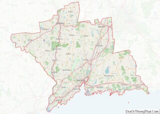
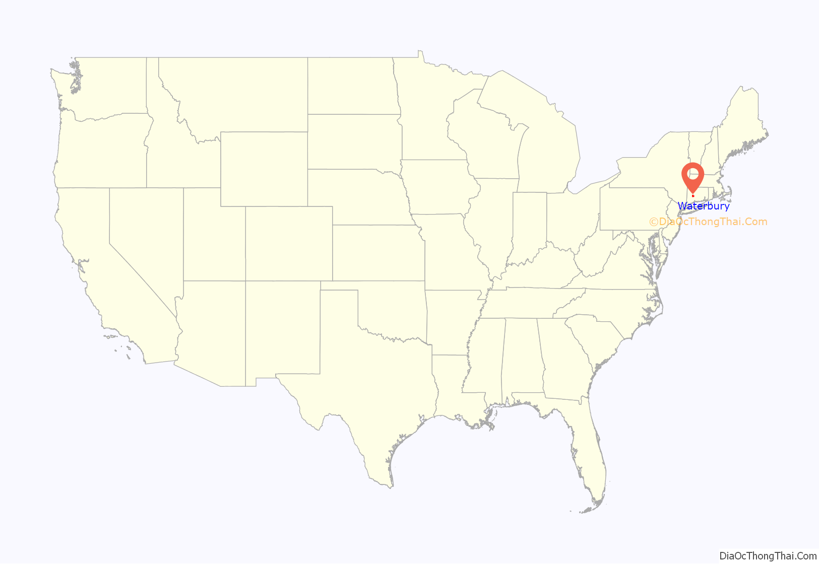
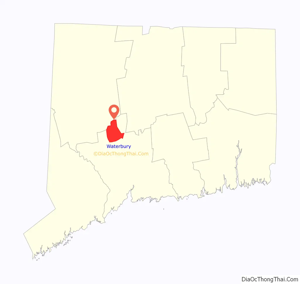
Waterbury location map. Where is Waterbury city?
History
The land was originally inhabited by the Algonquin bands. According to Samuel Orcutt’s history, some Puritan residents of nearby Farmington “found it expedient to purchase the same lands from different tribes, without attempting to decide between their rival claims.” The original settlement of Waterbury in 1674 was in the area now known as the Town Plot section. In 1675, the turbulence of King Philip’s War caused the new settlement to be vacated until the resumption of peace in 1677. A new permanent location was found across the river to the east along the Mad River. The original Native American inhabitants called the area “Matetacoke” meaning “the interval lands.” Thus, the settlement’s name was Anglicised to “Mattatuck” in 1673. When the settlement was admitted as the 28th town in the Connecticut Colony in 1686, the name was changed to Waterbury in reference to the numerous streams that emptied into the Naugatuck River from the hills on either side of the valley. At that time, it included all or parts of what later became the towns of Watertown, Plymouth, Wolcott, Prospect, Naugatuck, Thomaston, and Middlebury.
Growth was slow during Waterbury’s first hundred years, the lack of arable land due to the constant flooding of the Naugatuck River in particular, discouraged many potential settlers. Furthermore, the residents suffered through a great flood in 1691 and an outbreak of disease in 1712. After a century, Waterbury’s population numbered just 5,000.
Waterbury emerged as an early American industrial power in the early 19th century when the city began to manufacture brass, harnessing the waters of the Mad River and Naugatuck River to power the early factories. The new brass industry attracted many immigrant laborers from all over the world, leading to an influx of diverse nationalities. Waterbury was incorporated as a city in 1853 and, as the “Brass Capital of the World”, it gained a reputation for the quality and durability of its goods. Brass and copper supplied by Waterbury were used in Nevada‘s Boulder Dam among myriad applications across the United States.
A famous Waterbury product of the late-19th century was Robert H. Ingersoll’s one-dollar pocket watch, five million of which were sold. After this, the clock industry became as important as Waterbury’s brass industry. Evidence of these industries can still be seen in Waterbury, as numerous clocktowers and old brass factories have become landmarks of the city.
Waterbury produced silverware starting in 1858 by Rogers & Brother, and in 1886 by Rogers & Hamilton. In 1893, Rogers & Brother exhibited wares at the World’s Columbian Exposition in Chicago. In 1898, both companies became part of the International Silver Company, headquartered in nearby Meriden. Production continued at the R&B site until 1938. Designs of the two companies are in the collections of the Mattatuck Museum in Waterbury, the Brooklyn Museum in New York, the Yale University Art Gallery in New Haven, and in many historical societies and museums across the United States.
In June 1920, labor unrest occurred, with striking workers fighting with police on the street. Over 30 were arrested, mostly Lithuanians, Russians, Poles, and Italians. The strikers numbered some 15,000, with most being employed at Scovill, Chase Rolling Mill, and Chase Metal Works. One striker was shot to death by police.
At its peak during World War II, 10,000 people worked at the Scovill Manufacturing Co, later sold to Century Brass. The city’s metal manufacturing mills (Scovill Manufacturing, Anaconda American Brass, and Chase Brass & Copper were the largest) occupied more than 2 million square feet (180,000 m) and more than 90 buildings.
On May 24, 1962, the north side of the city was devastated by a high-end F3 tornado that caused widespread damage, destroyed numerous neighborhoods, and left one dead and 50 injured. Damage from the storm was estimated to be at least $5 million.
Historic events
- Waterbury Land Company was formed in 1807, for the purpose of settling a Connecticut Western Reserve Township named Columbia in Lorain County, Ohio. The draft allotment was purchased for $21,600.
- Waterbury’s Fr. Michael J. McGivney founded the Knights of Columbus in New Haven, Connecticut, on February 2, 1882. Though the first councils were in Connecticut, the Order spread throughout the United States.
- Established in 1894, St. Joseph’s Church holds the distinction of being the first Lithuanian worshiping community in Connecticut and second oldest in the country.
- The first Unico Club was founded in Waterbury in 1922 by Dr. Anthony P. Vastola. It grew to 8,000 members and 150 regional groups. The membership is composed of business and professional people of Italian lineage or those who are married to an Italian-American. The clubs sponsor educational, cultural and civic programs.
- Sacred Heart was the first Catholic high school in Connecticut, September 6, 1922.
- One of the first full-length sound motion pictures was made in the 1920s at the studios of the Bristol Co. at Platts Mills by Professor William Henry Bristol, who experimented for years with sound pictures.
- The Waterbury Clock Company produced the Mickey Mouse watch in 1933 under the Ingersoll brand. The watch was so popular that over 11,000 were sold the first day, and it saved the company from bankruptcy.
- W1XBS in Waterbury was one of four radio stations in the country that began experimental high fidelity broadcasting in 1934. The station broadcast at 1530 kHz, and joined the CBS Radio Network on December 1, 1938. They moved to 1590 kHz in 1941, in accordance with the North American Regional Broadcasting Agreement. The station’s broadcasting license was cancelled in 1998 to allow New York’s WWRL to be upgraded after that station purchased it; at the time it had been known as WQQW.
- Victor Zembruski started his Polish Eagles show on Waterbury radio station WATR in 1934. As of 2010 called “The Zembruski Family Polka Hour”, it is one of the oldest continuously broadcast shows on American radio.
- The Chase Dispensary, a medical clinic for employees of the Chase Brass & Copper Co., opened one of the first birth control clinics in the country in 1938.
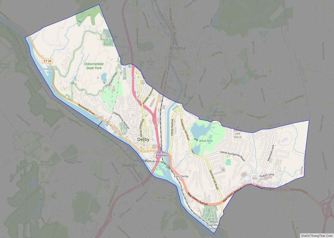
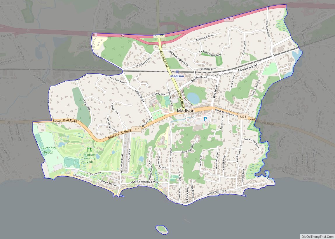
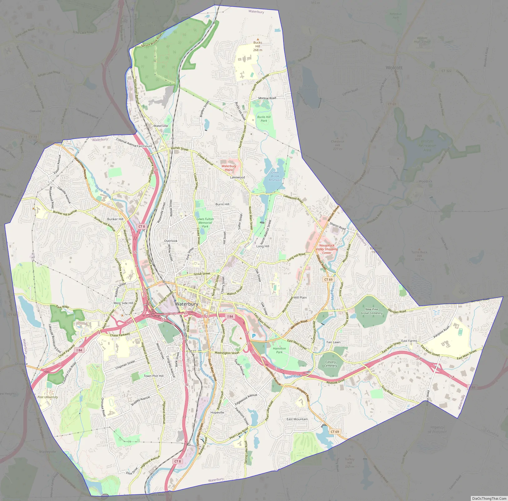
Waterbury Road Map
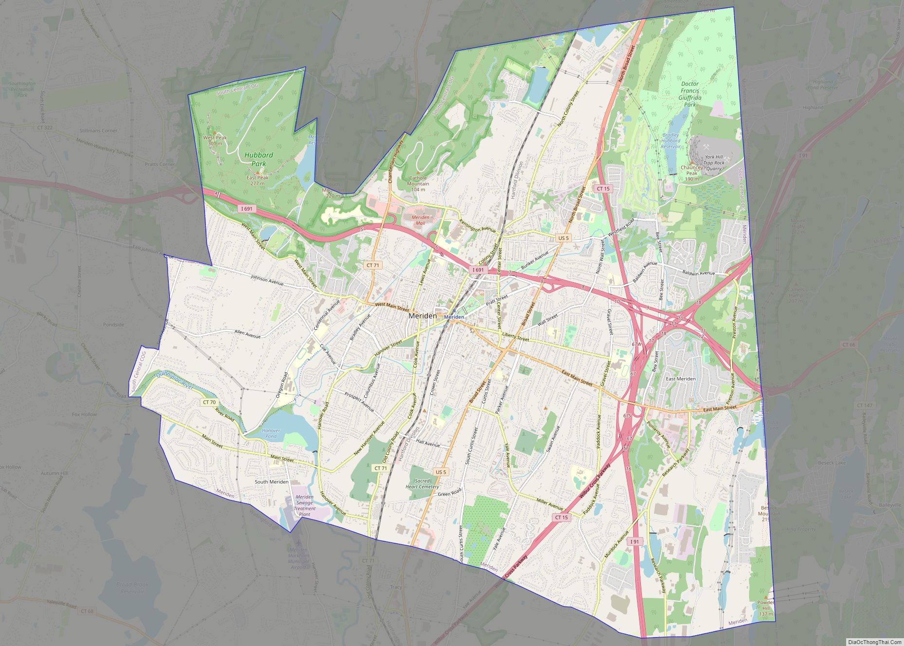
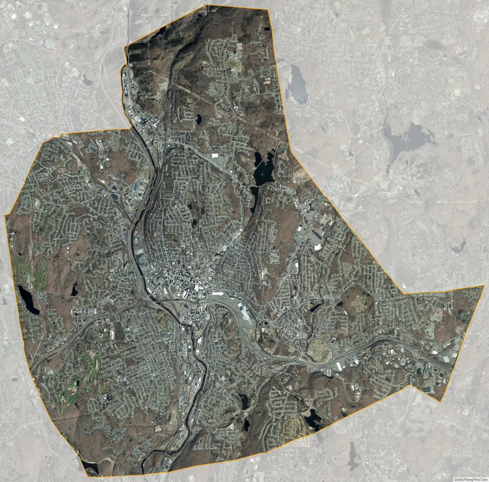
Waterbury city Satellite Map
Geography
According to the United States Census Bureau, the city has a total area of 29.0 square miles (75.0 km), of which 28.5 square miles (73.9 km) is land and 0.42 square miles (1.1 km), or 1.46%, is water.
Waterbury lies in the humid continental climate zone, and normally sees cold, snowy winters and warm, humid summers.
Neighborhoods
Waterbury’s neighborhoods are shaped by the history and geography of the city.
Ethnic communities distinguish the city’s 25 neighborhoods. Clusters of shops at the street corners created villages within the city. For many people, home, work and community life was contained within their neighborhood. Downtown, a short walk away, was “the city”, offering live theater, fancy stores, parades and spectacles.
- Brooklyn
- Bucks Hill
- Bunker Hill
- Country Club
- Crownbrook
- Downtown
- East End
- East Mountain
- Fair Lawn
- Fairmount
- Gilmartin
- Hillside
- Hopeville
- Long Hill
- North End
- North Square
- Overlook
- Pine Hill
- Robinwood
- South End
- Town Plot
- Washington Hill
- Waterville
- West Side
- WOW / Walnut-Orange-Walsh
See also
Map of Connecticut State and its subdivision: Map of other states:- Alabama
- Alaska
- Arizona
- Arkansas
- California
- Colorado
- Connecticut
- Delaware
- District of Columbia
- Florida
- Georgia
- Hawaii
- Idaho
- Illinois
- Indiana
- Iowa
- Kansas
- Kentucky
- Louisiana
- Maine
- Maryland
- Massachusetts
- Michigan
- Minnesota
- Mississippi
- Missouri
- Montana
- Nebraska
- Nevada
- New Hampshire
- New Jersey
- New Mexico
- New York
- North Carolina
- North Dakota
- Ohio
- Oklahoma
- Oregon
- Pennsylvania
- Rhode Island
- South Carolina
- South Dakota
- Tennessee
- Texas
- Utah
- Vermont
- Virginia
- Washington
- West Virginia
- Wisconsin
- Wyoming