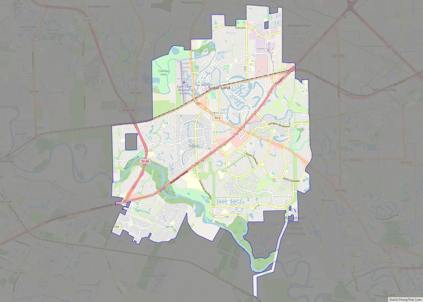
Map of Sparks city, Nevada

Map of Sparks city, Nevada

Sparks is a city in Washoe County, Nevada, United States. It was founded in 1904, incorporated on March 15, 1905, and is located just east of Reno. The 2020 U.S. Census counted 108,445 residents in the city. It is the fifth most populous city in Nevada. It is named after John Sparks, Nevada Governor (1903–1908), … Read more

Map of South Fulton city

Map of South Fulton city, Georgia

The City of South Fulton is in Fulton County, Georgia, United States, in the Atlanta metropolitan area. It was incorporated in 2017 from parts of southwest Fulton County and includes the communities of Red Oak, Cooks Crossing, Stonewall, Fife, Ben Hill, Sandtown, Cliftondale, Ono, Cedar Grove, Boat Rock/Dry Pond, Maude, Lester, Enon, Welcome All, Peters … Read more

Map of Greeley city

Map of Greeley city, Colorado

Greeley is the home rule municipality city that is the county seat and the most populous municipality of Weld County, Colorado, United States. The city population was 108,795 at the 2020 United States Census, an increase of 17.12% since the 2010 United States Census. Greeley is the tenth most populous city in Colorado. Greeley is … Read more

Map of Sandy Springs city

Map of Sandy Springs city

Sandy Springs is a city in northern Fulton County, Georgia, United States, and an inner ring suburb of Atlanta. The city’s population was 108,080 at the 2020 census, making it Georgia’s seventh-largest city. It is the site of several corporate headquarters, including UPS, Newell Brands, Inspire Brands, Focus Brands, Cox Enterprises, and Mercedes-Benz USA’s corporate … Read more

Map of Centennial city

Map of Centennial city, Colorado

Centennial is a home rule municipality located in Arapahoe County, Colorado, United States. The city population was 108,418 at the 2020 United States Census, making Centennial the 11th most populous municipality in Colorado. Centennial is a part of the Denver–Aurora–Lakewood, CO Metropolitan Statistical Area and the Front Range Urban Corridor. Centennial city overview: Name: Centennial … Read more

Map of West Covina city

Map of West Covina city

West Covina is a suburban city in Los Angeles County, California, United States. Located 19 miles (31 km) east of Downtown Los Angeles in the eastern San Gabriel Valley, it is part of Greater Los Angeles. The population for the city was 106,098 at the 2010 census. West Covina is bordered by Covina to the northeast, … Read more

Map of Allen city, Texas

Map of Allen city, Texas

Allen is a city in Collin County in the U.S. state of Texas, and a northern suburb in the Dallas–Fort Worth metroplex. According to the 2020 U.S. census its population was 104,627, up from 84,246 in 2010. Allen is located approximately twenty miles (32 km) north of downtown Dallas and is a part of the Dallas–Fort … Read more