Santa Maria (Spanish for “St. Mary”) is a city in the Central Coast of California in northern Santa Barbara County. It is approximately 65 miles (105 km) northwest of Santa Barbara and 150 miles (240 km) northwest of downtown Los Angeles. Its population was 109,707 at the 2020 census, making it the most populous city in the county and the Santa Maria-Santa Barbara, CA Metro Area. The city is notable for its wine industry and Santa Maria-style barbecue.
| Name: | Santa Maria city |
|---|---|
| LSAD Code: | 25 |
| LSAD Description: | city (suffix) |
| State: | California |
| County: | Santa Barbara County |
| Founded: | 1874 |
| Incorporated: | September 12, 1905 |
| Elevation: | 217 ft (66 m) |
| Land Area: | 22.81 sq mi (59.07 km²) |
| Water Area: | 0.61 sq mi (1.58 km²) 2.73% |
| Population Density: | 4,809.60/sq mi (1,857.24/km²) |
| ZIP code: | 93454–93458 |
| Area code: | 805 |
| FIPS code: | 0669196 |
| Website: | cityofsantamaria.org |
Online Interactive Map
Click on ![]() to view map in "full screen" mode.
to view map in "full screen" mode.
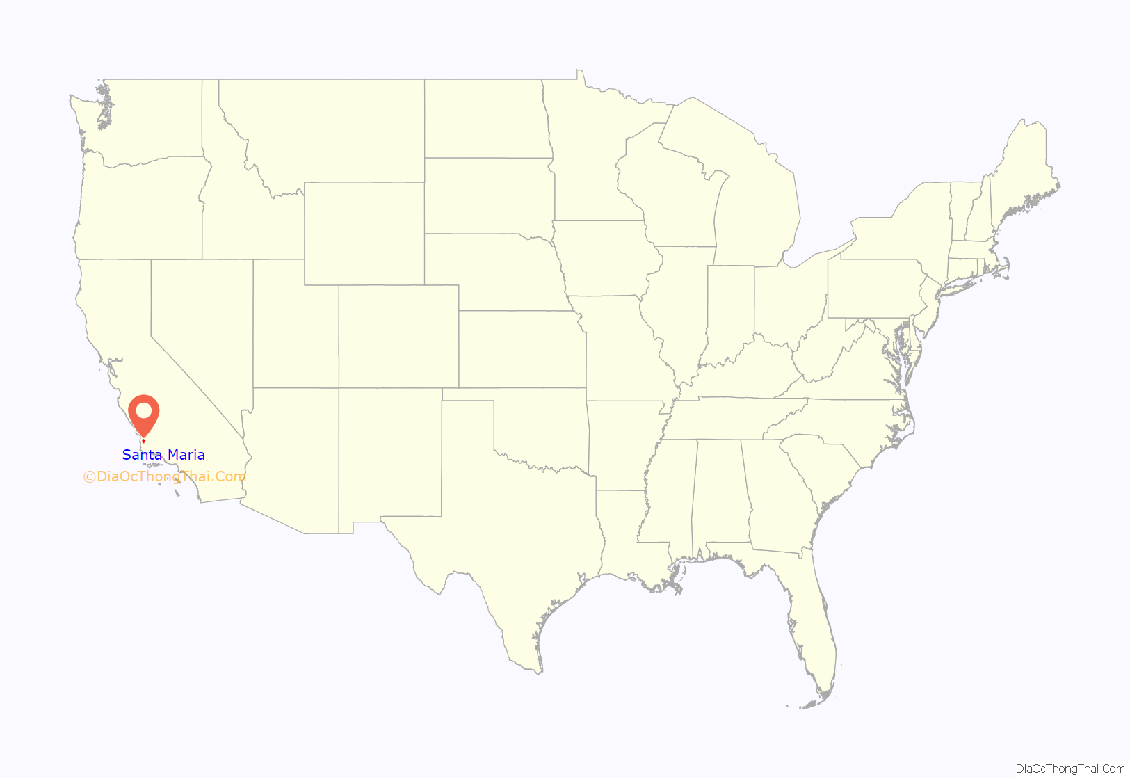
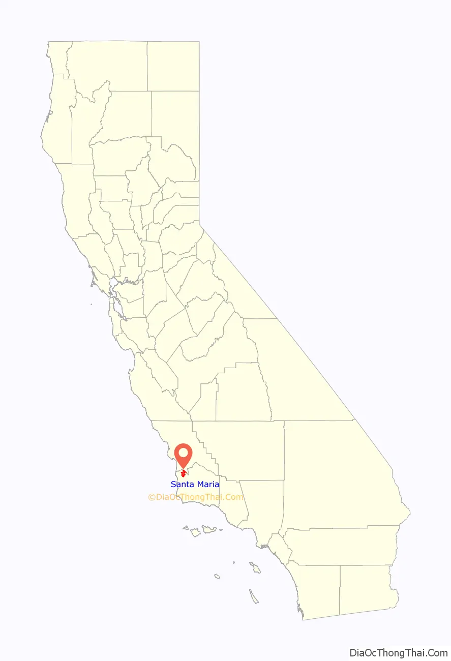
Santa Maria location map. Where is Santa Maria city?
History
The Santa Maria Valley, stretching from the Santa Lucia Mountains toward the Pacific Ocean, was the homeland of the Chumash people for several thousand years. The Native Americans made their homes on the slopes of the surrounding hills among the oaks, on the banks of the Santa Maria River among the sycamores, and along the coast. They had unique plank-built boats, called Tomol, which they used for ocean fishing.
In 1769, the Portolá Expedition passed through the Santa Maria Valley during the first Spanish land exploration up the coast of Las Californias Province. Mission San Luis Obispo de Tolosa was established just north of the valley in 1772, and Mission La Purísima Concepción was established near present-day Lompoc in 1787. Rather than rich soil, white settlers were attracted here by the possibility of free land. In 1821, after the Mexican War of Independence, the mission lands in Santa Maria Valley were made available for private ownership under a Mexican land grant called Rancho Punta de Laguna. At the end of the Mexican War in 1848, California was ceded to the United States, and was granted statehood with the Compromise of 1850.
In the late 19th century, the area’s rich soil attracted farmers and other settlers. By the end of the century, the Santa Maria River Valley had become one of the most productive agricultural areas in the state. Agriculture remains a key component of the economy for the city and the entire region.
Between 1869 and 1874, four of the valley’s settlers, Rudolph Cook, John Thornburg, Isaac Fesler (for whom Fesler Jr. High School is named), and Isaac Miller (for whom Miller Elementary School is named), built their homes near each other at the present corners on Broadway and Main Street. The townsite was recorded in Santa Barbara in 1875. The new town was named Grangerville, then changed to Central City. It became Santa Maria on February 18, 1885, since mail was often being sent by mistake to Central City, Colorado. Santa Maria was chosen from the name Juan Pacifico Ontiveros had given to his property 25 years earlier. Streets named after the four settlers now form a 6-block square centered at Broadway and Main Street, the center of town.
Oil exploration began in 1888, leading to large-scale discoveries at the turn of the 20th century. In 1902, Union Oil discovered the large Orcutt Oil Field in the Solomon Hills south of town, and a number of smaller companies also began pumping oil. Two years later, Union Oil had 22 wells in production. Other significant discoveries followed, including the Lompoc Oil Field in 1903 and the Cat Canyon field in 1908. Over the next 80 years more large oil fields were found, and thousands of oil wells drilled and put into production. Oil development intensified in the 1930s, with the discovery of the Santa Maria Valley Oil Field in 1934, right underneath the southern and western parts of the city of Santa Maria, which spurred the city’s growth even further. By 1957 there were 1,775 oil wells in operation in the Santa Maria Valley, producing more than $640 million worth of oil.
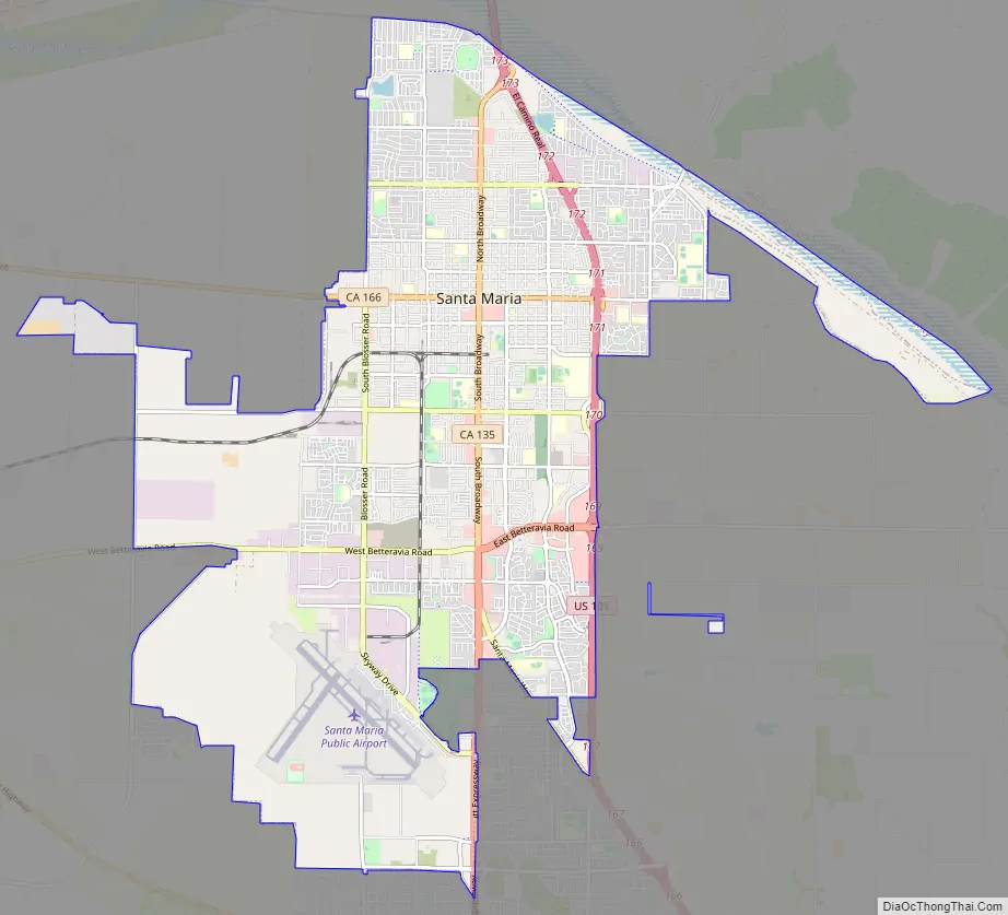
Santa Maria Road Map
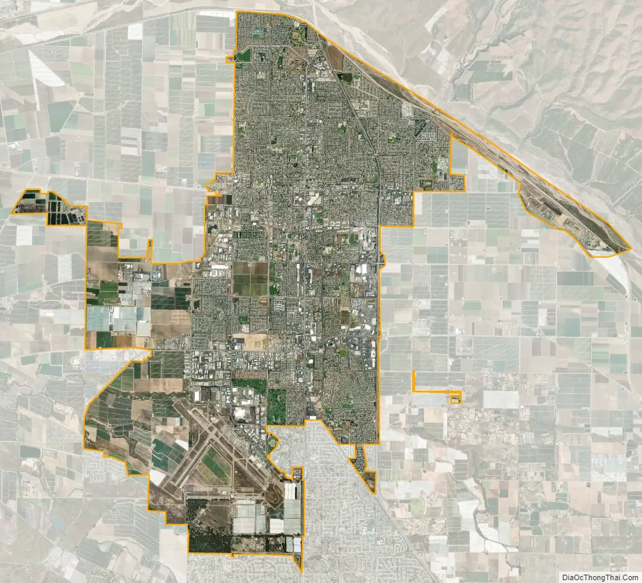
Santa Maria city Satellite Map
Geography
According to the United States Census Bureau, the city has a total area of 22.4 square miles (58 km), of which, 22.8 square miles (59 km) of it is land and 0.6 square miles (1.6 km) of it (2.73%) is water.
Santa Maria is situated north of the unincorporated community of Orcutt, California, and south of the Santa Maria River (which serves as the line between Santa Barbara County and San Luis Obispo County). The valley is bordered on the west by the Pacific Ocean and to the east by the San Rafael Mountains and the Los Padres National Forest. The city of Guadalupe, California is approximately 9 miles (14 km) to the west of Santa Maria.
Climate
Santa Maria experiences a cool Mediterranean climate (Köppen climate classification Csb) typical of coastal areas of California north of Point Conception. The climate is mostly sunny, refreshed by the ocean breeze. Fog is common. Snow in the mountains is seen during the winter however, in the lowest parts of the city it is virtually unknown; with the last brief flurry recorded in January 1949. The only recorded earlier snowfall was in January 1882. Rainfall averages 14 inches (360 mm) annually. The record high temperature of 110 °F (43.3 °C) was observed on June 20, 2008, while the record low of 20 °F (−6.7 °C) was observed twice: on January 2, 1976 and December 7, 1978.
See also
Map of California State and its subdivision:- Alameda
- Alpine
- Amador
- Butte
- Calaveras
- Colusa
- Contra Costa
- Del Norte
- El Dorado
- Fresno
- Glenn
- Humboldt
- Imperial
- Inyo
- Kern
- Kings
- Lake
- Lassen
- Los Angeles
- Madera
- Marin
- Mariposa
- Mendocino
- Merced
- Modoc
- Mono
- Monterey
- Napa
- Nevada
- Orange
- Placer
- Plumas
- Riverside
- Sacramento
- San Benito
- San Bernardino
- San Diego
- San Francisco
- San Joaquin
- San Luis Obispo
- San Mateo
- Santa Barbara
- Santa Clara
- Santa Cruz
- Shasta
- Sierra
- Siskiyou
- Solano
- Sonoma
- Stanislaus
- Sutter
- Tehama
- Trinity
- Tulare
- Tuolumne
- Ventura
- Yolo
- Yuba
- Alabama
- Alaska
- Arizona
- Arkansas
- California
- Colorado
- Connecticut
- Delaware
- District of Columbia
- Florida
- Georgia
- Hawaii
- Idaho
- Illinois
- Indiana
- Iowa
- Kansas
- Kentucky
- Louisiana
- Maine
- Maryland
- Massachusetts
- Michigan
- Minnesota
- Mississippi
- Missouri
- Montana
- Nebraska
- Nevada
- New Hampshire
- New Jersey
- New Mexico
- New York
- North Carolina
- North Dakota
- Ohio
- Oklahoma
- Oregon
- Pennsylvania
- Rhode Island
- South Carolina
- South Dakota
- Tennessee
- Texas
- Utah
- Vermont
- Virginia
- Washington
- West Virginia
- Wisconsin
- Wyoming


