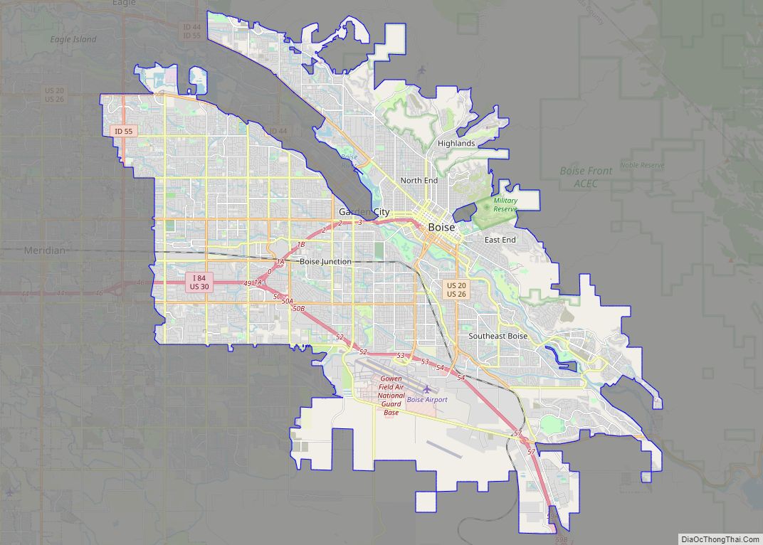
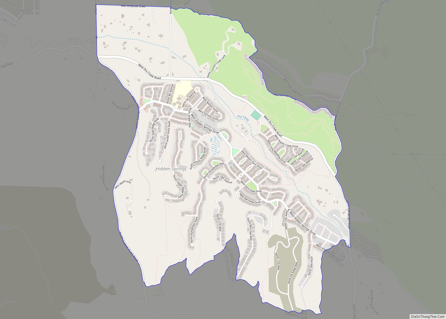
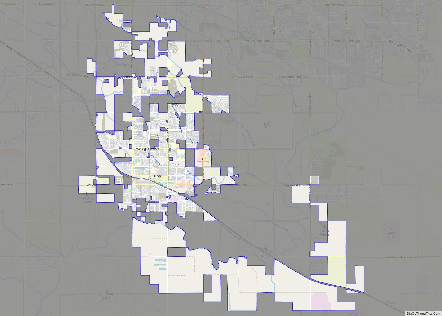
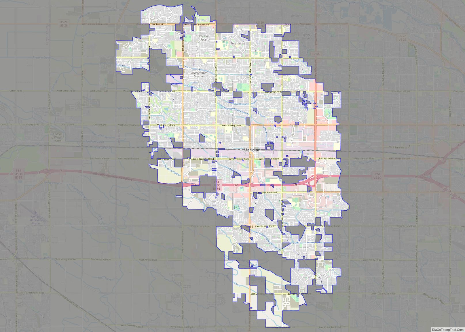
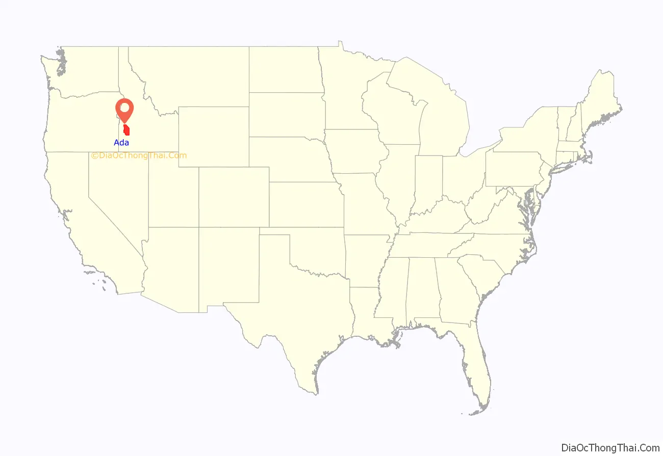
Ada County is located in the southwestern part of Idaho, United States. As of the 2021 United States census estimate, the county had a population of 511,931, making it by far the state’s most populous county; it is home to 26.8% of the state’s population. The county seat and largest city is Boise, which is also the state capital. Ada County is included in the Boise metropolitan area. The Ada County Highway District has jurisdiction over all the local county and city streets, except for private roads and state roads. In the interior Pacific Northwest east of the Cascade Range, Ada County ranks second in population, behind Spokane County, Washington.
| Name: | Ada County |
|---|---|
| FIPS code: | 16-001 |
| State: | Idaho |
| Founded: | December 22, 1864 |
| Named for: | Ada Riggs |
| Seat: | Boise |
| Largest city: | Boise |
| Total Area: | 1,060 sq mi (2,700 km²) |
| Land Area: | 1,053 sq mi (2,730 km²) |
| Total Population: | 494,967 |
| Time zone: | UTC−7 (Mountain) |
| Summer Time Zone (DST): | UTC−6 (MDT) |
| Website: | www.adaweb.net |
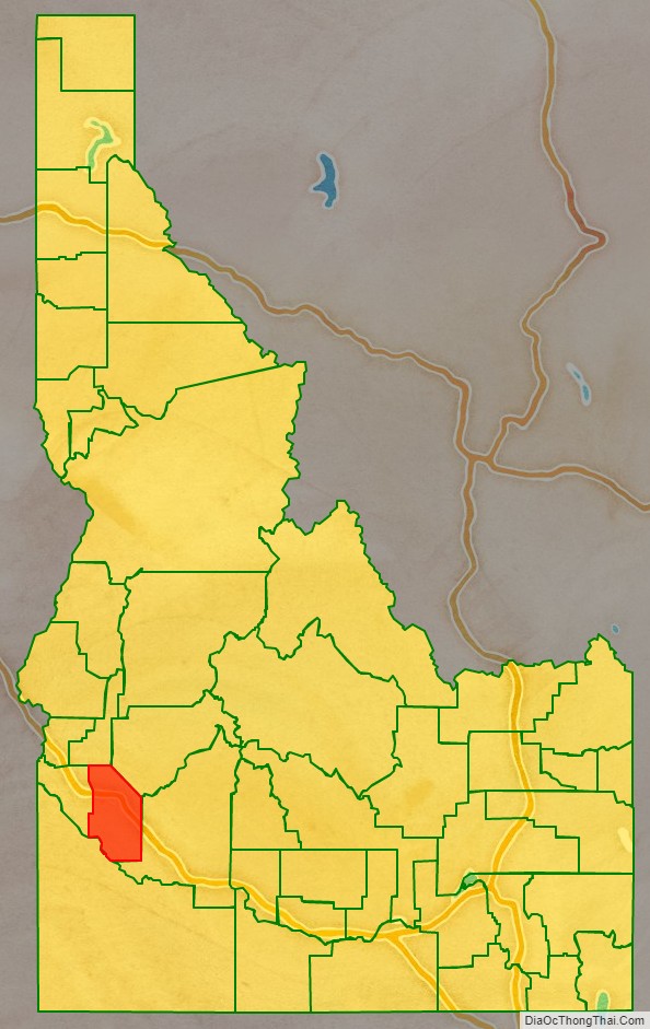
Ada County location map. Where is Ada County?
History
Ada County was created by the Idaho Territory legislature on December 22, 1864, partitioned from Boise County. It is named for Ada Riggs, the daughter of H.C. Riggs, a member of the legislature; he established the county and was a co-founder of Boise. Canyon County, which originally included Payette County and most of Gem County, was partitioned from western Ada County in 1891.
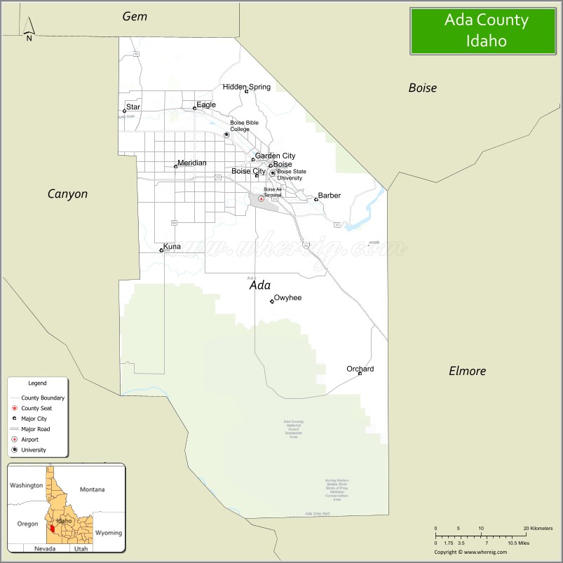
Ada County Road Map
Geography
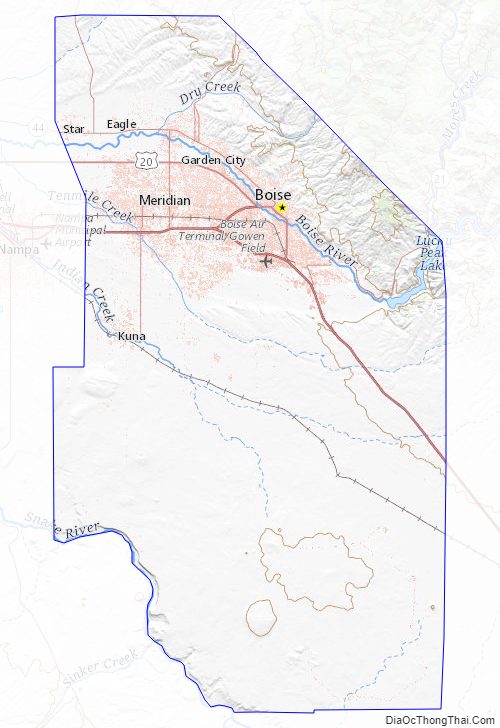
According to the U.S. Census Bureau, the county has a total area of 1,060 square miles (2,700 km), of which 1,053 square miles (2,730 km) is land and 7.9 square miles (20 km) (0.7%) is water. The Boise River flows through the northern portion of the county, and the northwest border is bounded by the foothills of the Boise Range mountains; the summits are in adjacent Boise County. The southwestern border of the county is bounded by the Snake River.
Adjacent counties
- Gem County – northwest
- Boise County – northeast
- Elmore County – east
- Owyhee County – south
- Canyon County – west
Major highways
- – Interstate 84
- – Interstate 184
- – US 20
- – US 26
- – US 30
- – SH-16
- – SH-21 – Ponderosa Pine Scenic Byway
- – SH-44
- – SH-55 – Payette River Scenic Byway
- – SH-69
County roads and highways are maintained by the Ada County Highway District.
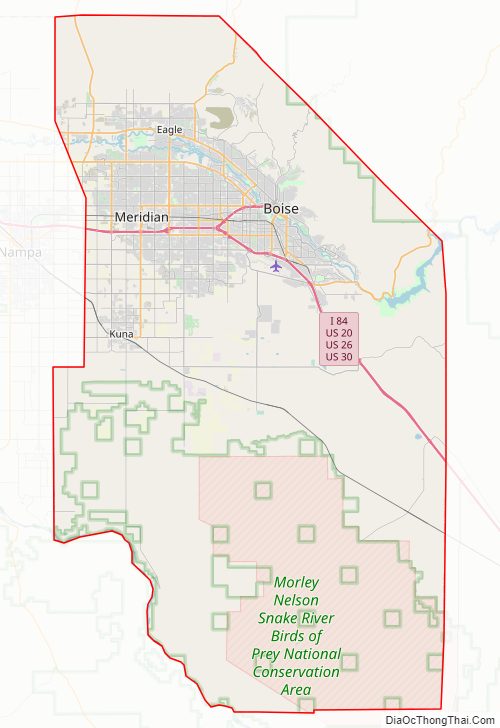
National protected areas
- Boise National Forest (part)
- Snake River Birds of Prey National Conservation Area (part)
Ada County Topographic Map
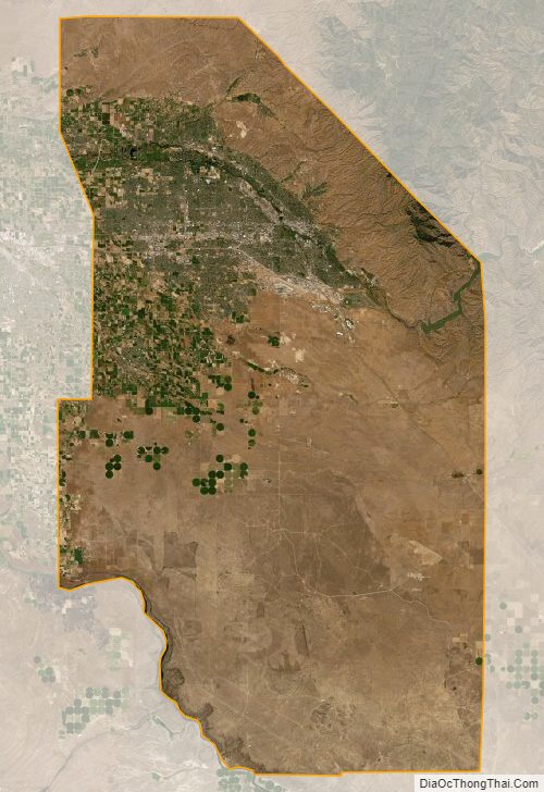
Ada County Satellite Map
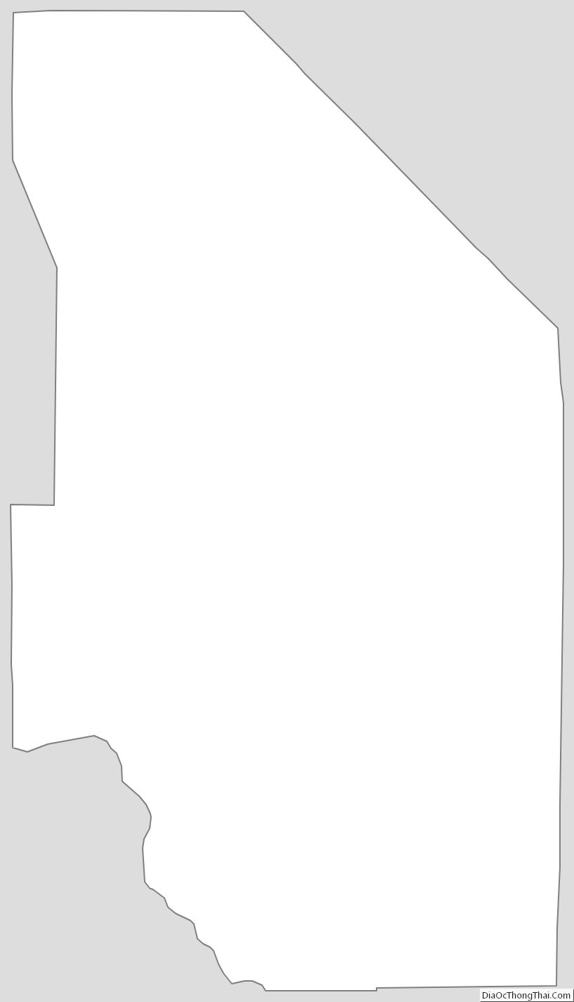
Ada County Outline Map