Eagle is a city in the western United States in Ada County, Idaho, ten miles (16 km) northwest of downtown Boise. The population was 30,346 at the time of the 2020 census.
| Name: | Eagle city |
|---|---|
| LSAD Code: | 25 |
| LSAD Description: | city (suffix) |
| State: | Idaho |
| County: | Ada County |
| Elevation: | 2,566 ft (782 m) |
| Total Area: | 31.08 sq mi (80.49 km²) |
| Land Area: | 30.57 sq mi (79.18 km²) |
| Water Area: | 0.51 sq mi (1.31 km²) |
| Total Population: | 30,376 |
| Population Density: | 984.68/sq mi (380.2/km²) |
| ZIP code: | 83616 |
| Area code: | 208 and 986 |
| FIPS code: | 1623410 |
| GNISfeature ID: | 0396427 |
| Website: | www.cityofeagle.org |
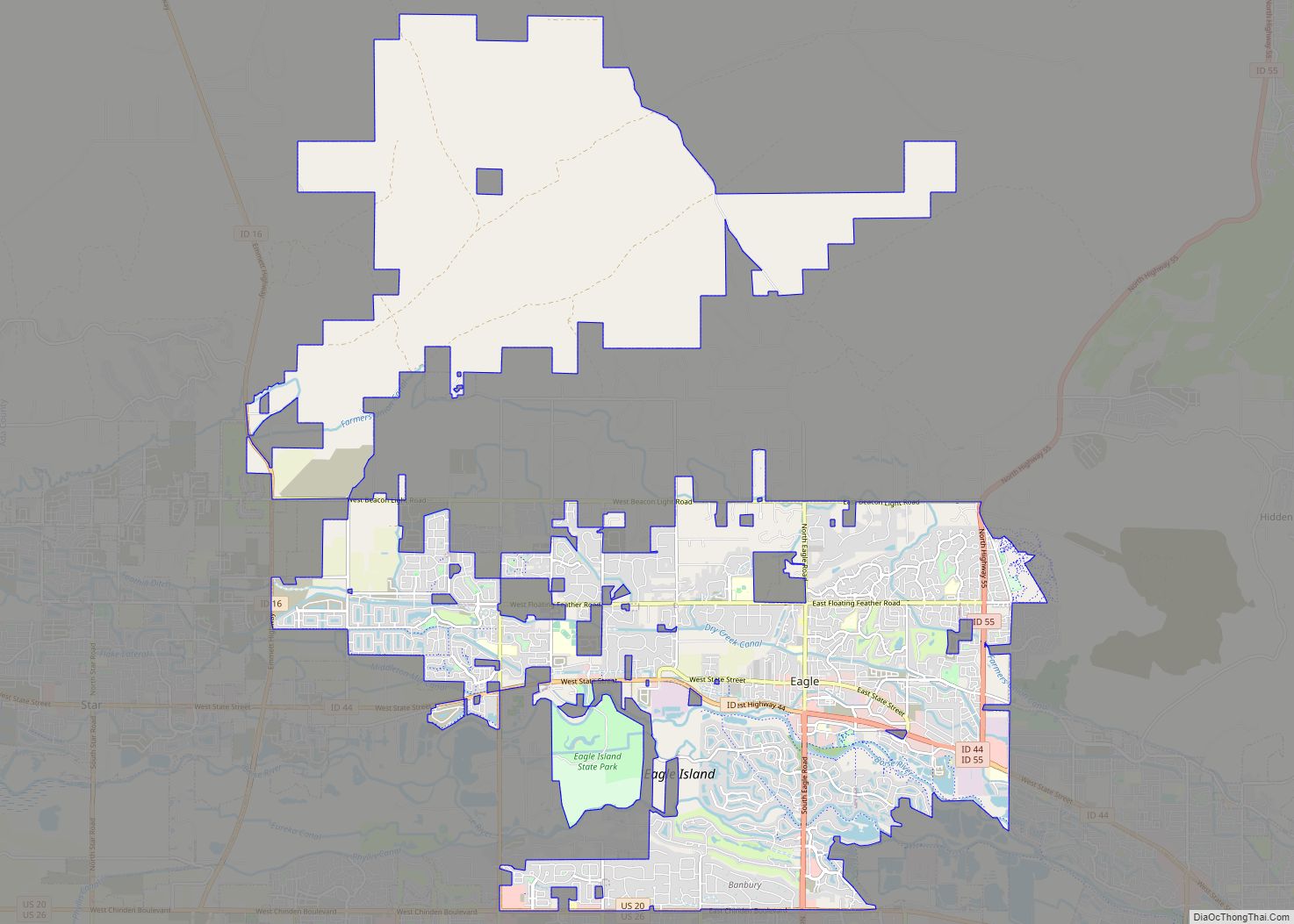
Online Interactive Map
Click on ![]() to view map in "full screen" mode.
to view map in "full screen" mode.
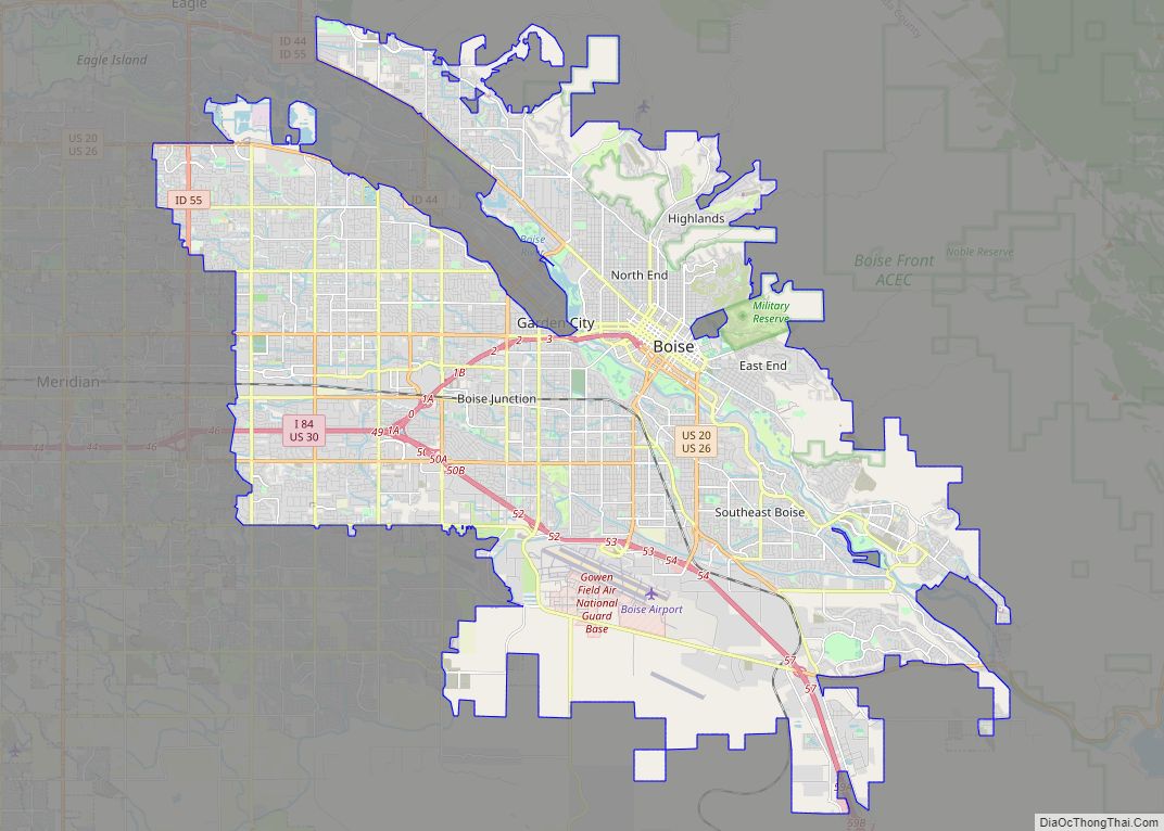
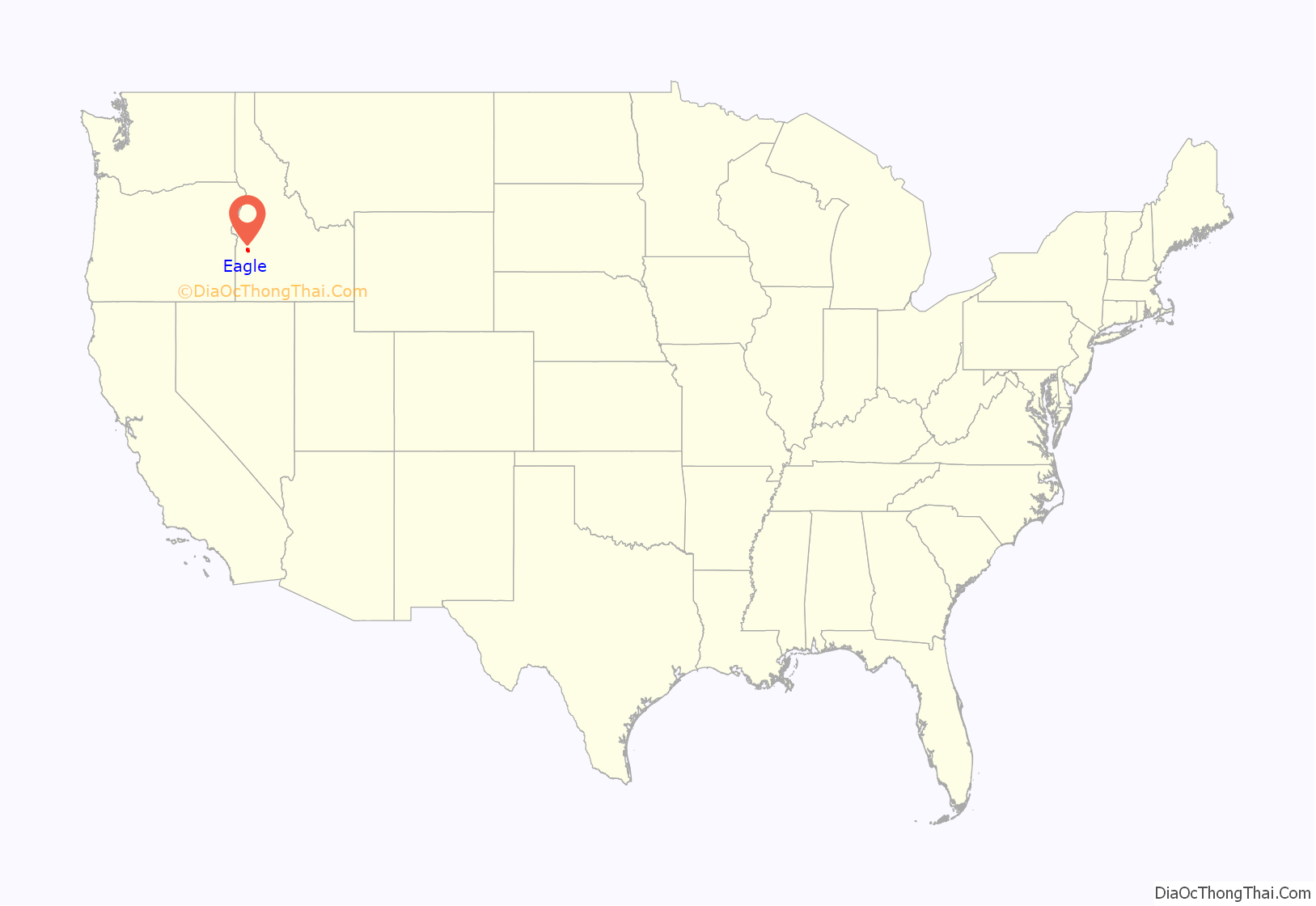
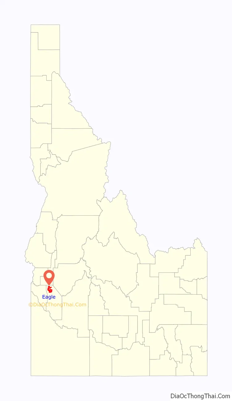
Eagle location map. Where is Eagle city?
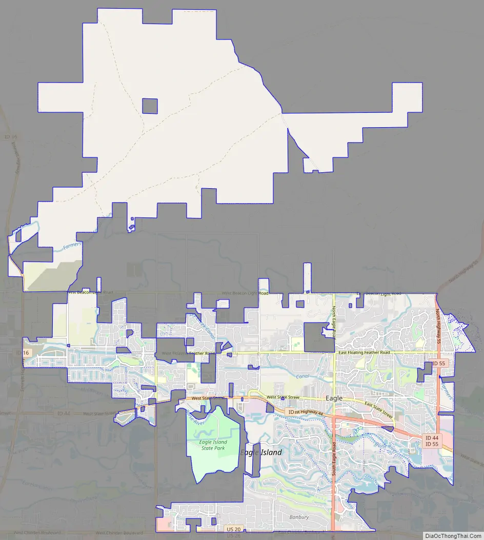
Eagle Road Map
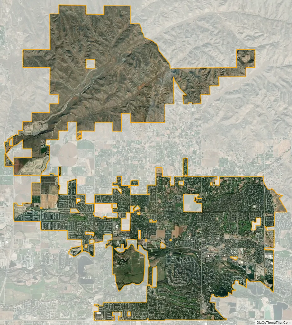
Eagle city Satellite Map
Geography
According to the United States Census Bureau, the city has a total area of 29.40 square miles (76.15 km), of which 28.92 square miles (74.90 km) is land and 0.48 square miles (1.24 km) is water.
Climate
This region experiences warm to hot, dry summers, and cold, dry winters averaging ten inches (25 cm) of snow, with summer high temperatures averaging 85 °F (29 °C) and winter low temperatures averaging 25.6 °F (−3.6 °C). According to the Köppen climate classification system, Eagle has a “Csb” on climate maps.
See also
Map of Idaho State and its subdivision:- Ada
- Adams
- Bannock
- Bear Lake
- Benewah
- Bingham
- Blaine
- Boise
- Bonner
- Bonneville
- Boundary
- Butte
- Camas
- Canyon
- Caribou
- Cassia
- Clark
- Clearwater
- Custer
- Elmore
- Franklin
- Fremont
- Gem
- Gooding
- Idaho
- Jefferson
- Jerome
- Kootenai
- Latah
- Lemhi
- Lewis
- Lincoln
- Madison
- Minidoka
- Nez Perce
- Oneida
- Owyhee
- Payette
- Power
- Shoshone
- Teton
- Twin Falls
- Valley
- Washington
- Alabama
- Alaska
- Arizona
- Arkansas
- California
- Colorado
- Connecticut
- Delaware
- District of Columbia
- Florida
- Georgia
- Hawaii
- Idaho
- Illinois
- Indiana
- Iowa
- Kansas
- Kentucky
- Louisiana
- Maine
- Maryland
- Massachusetts
- Michigan
- Minnesota
- Mississippi
- Missouri
- Montana
- Nebraska
- Nevada
- New Hampshire
- New Jersey
- New Mexico
- New York
- North Carolina
- North Dakota
- Ohio
- Oklahoma
- Oregon
- Pennsylvania
- Rhode Island
- South Carolina
- South Dakota
- Tennessee
- Texas
- Utah
- Vermont
- Virginia
- Washington
- West Virginia
- Wisconsin
- Wyoming