Adair County is a county located in the U.S. state of Kentucky. As of the 2020 census, the population was 18,903. Its county seat and only municipality is Columbia. The county was founded in 1801 and named for John Adair, then Speaker of the House in Kentucky and later Governor of Kentucky (1820 – 1824). Adair County has some of the few surviving American Chestnut trees in the United States.
| Name: | Adair County |
|---|---|
| FIPS code: | 21-001 |
| State: | Kentucky |
| Founded: | 1801 |
| Named for: | John Adair |
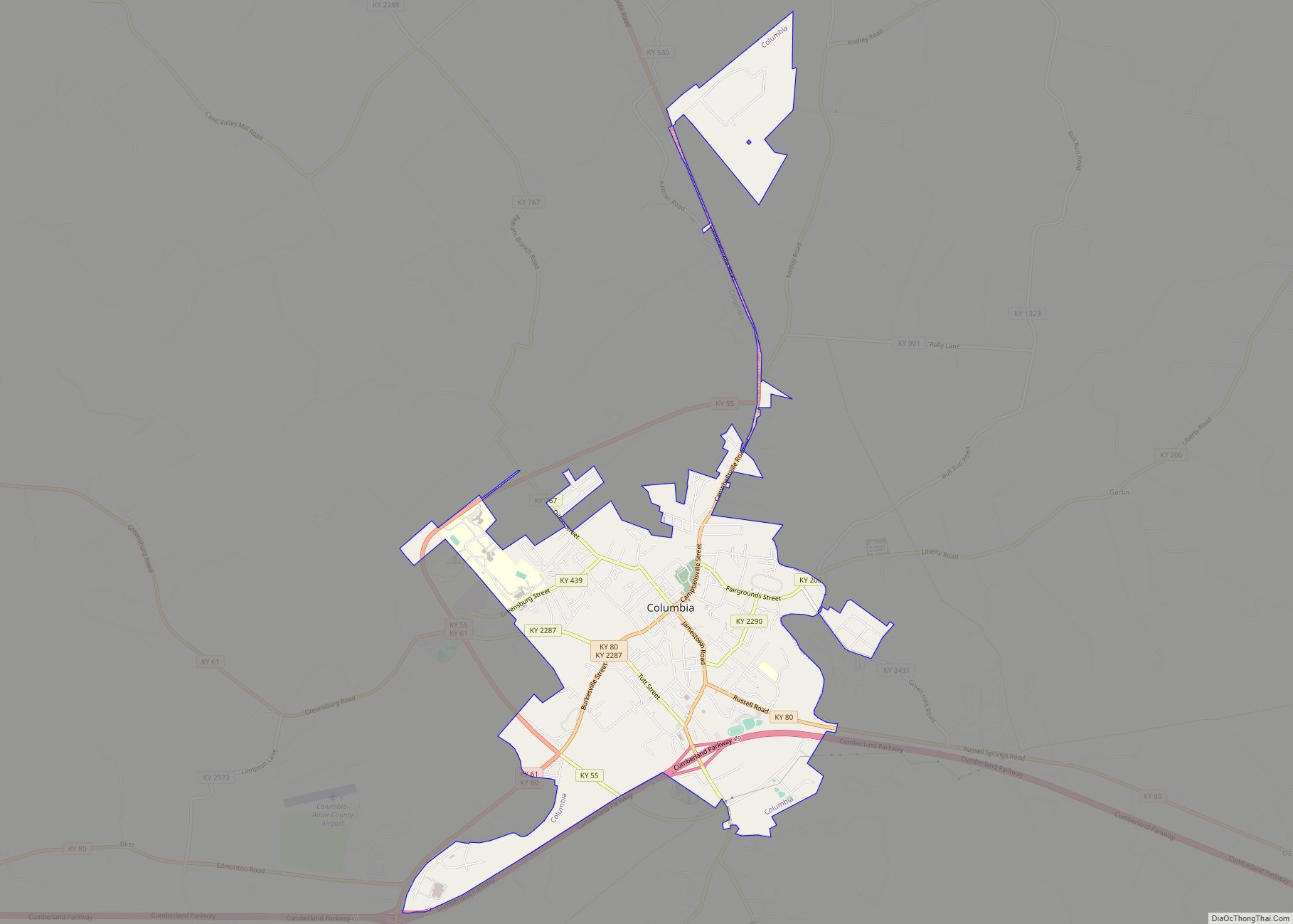
| Seat: | Columbia |
| Largest city: | Columbia |
| Total Area: | 412 sq mi (1,070 km²) |
| Land Area: | 405 sq mi (1,050 km²) |
| Total Population: | 18,903 |
| Population Density: | 46/sq mi (18/km²) |
| Time zone: | UTC−6 (Central) |
| Summer Time Zone (DST): | UTC−5 (CDT) |
| Website: | www.columbia-adaircounty.com |
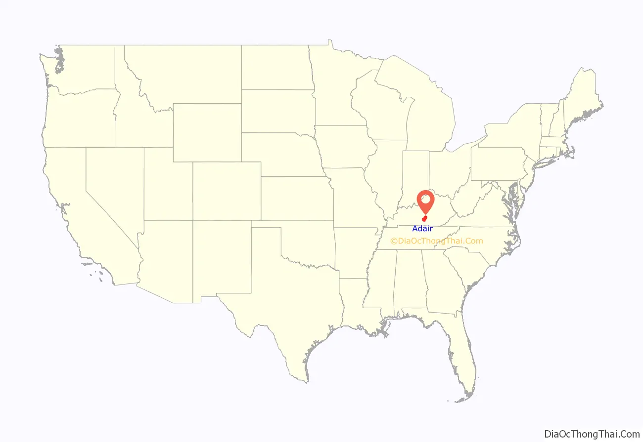
Adair County location map. Where is Adair County?
History
Adair County was formed on December 11, 1801, from sections of Green County. Columbia was chosen as the county seat the following year and the first courthouse was built in 1806.
The county was named in honor of John Adair, a veteran of the Revolutionary War and Northwest Indian War. Later he commanded Kentucky troops in the Battle of New Orleans. He served as the eighth Governor of Kentucky. This was the 44th of Kentucky’s 120 counties to be organized.
After the American Civil War, a gang of five men, believed to include Frank and Jesse James from Missouri, robbed the Bank of Columbia of $600 on April 29, 1872. They killed the cashier, R.A.C. Martin, in the course of the robbery.
The courthouse on the Columbia town square, completed in 1884, replaced the original 1806 courthouse.
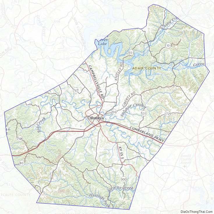
Adair County Road Map


Geography
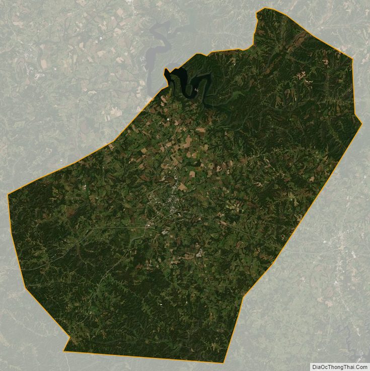
According to the United States Census Bureau, the county has a total area of 412 square miles (1,070 km), of which 405 square miles (1,050 km) is land and 7.1 square miles (18 km) (1.7%) is water. It is part of the Pennyroyal Plateau region of Kentucky and is part of western Appalachia. Over 40% of the county’s land is covered with timber.
The Green River is the county’s major waterway but is not commercially navigable. The river was impounded to form Green River Lake, the major feature of Green River Lake State Park, which lies in Adair and Taylor counties.
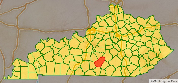
Adjacent counties
- Taylor County – north (EST)
- Casey County – northeast (EST)
- Russell County – east
- Cumberland County – south
- Metcalfe County – southwest
- Green County – northwest
Adair County Topographic Map
Adair County Satellite Map
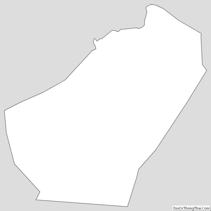
Adair County Outline Map